Poquoson (/pəˈkoʊsən/), informally known as Bull Island, is an independent city in the Commonwealth of Virginia, United States. As of the 2020 census, the population was 12,460. The Bureau of Economic Analysis combines the city of Poquoson with surrounding York County for statistical purposes.
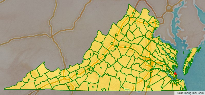
Poquoson is located on the Virginia Peninsula, in the Hampton Roads metropolitan area.
Poquoson, which was formerly part of York County, became an incorporated town in 1952 and an independent city in 1975. (In Virginia, municipalities incorporated as independent cities are not part of any county.) However, the ties remain close. Over 30 years after Poquoson became a politically independent entity, some constitutional services such as the courts, sheriff and jail continue to be shared with neighboring York County.
Poquoson is one of the oldest continuously named cities in Virginia. It is also one of the few to retain a name which derived from the Native Americans who inhabited the area before colonization by the English began in the 17th century.
| Name: | Poquoson City |
|---|---|
| FIPS code: | 51-735 |
| State: | Virginia |
| Founded: | 1631 |
| Land Area: | 15.36 sq mi (39.77 km²) |
| Population Density: | 811.20/sq mi (313.21/km²) |
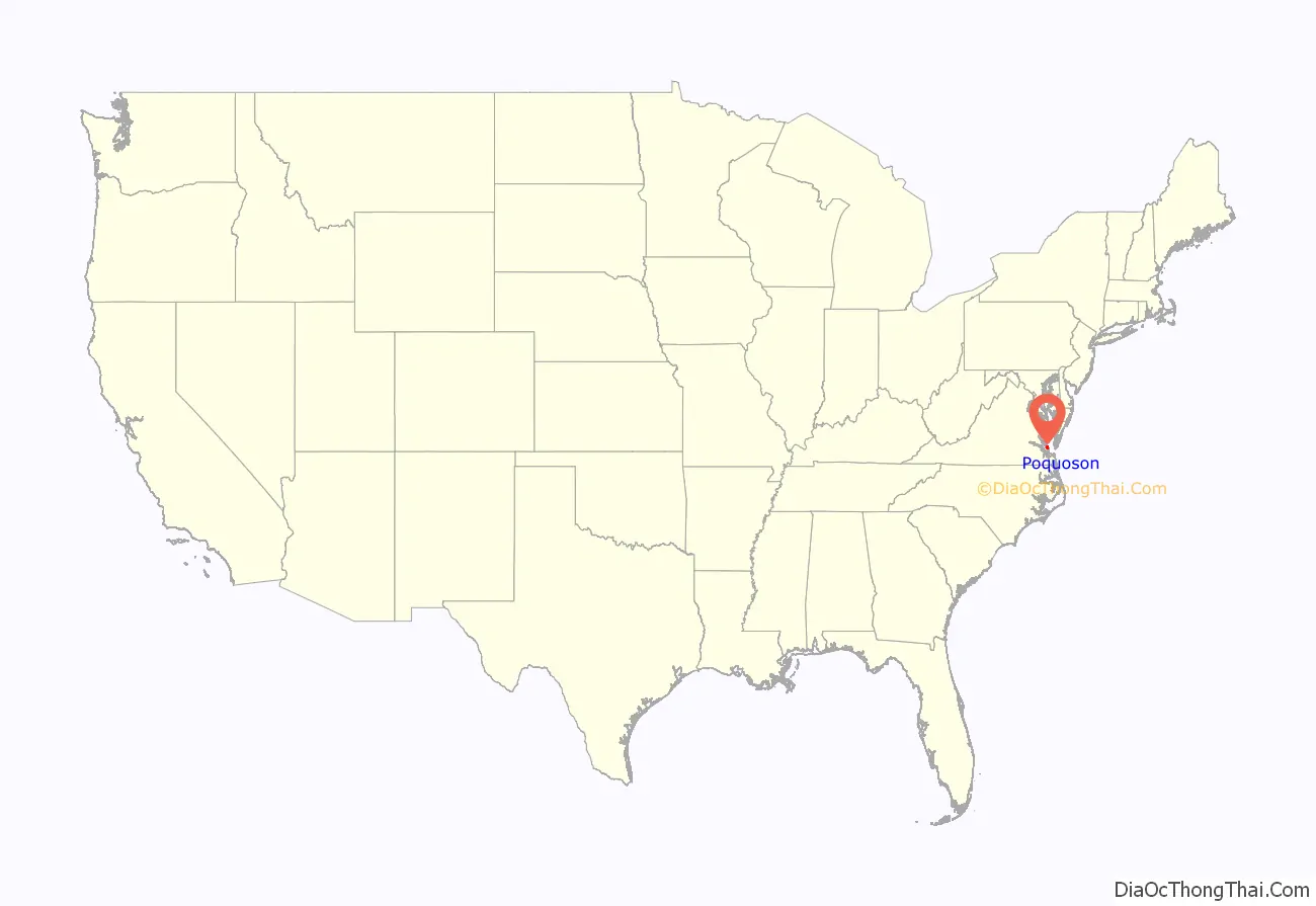
Poquoson City location map. Where is Poquoson City?
History
The name of the city is a Native American word which roughly translates to “great marsh.” The term pocosin, with its varied spellings, was a term used by the area’s inhabitants to describe a low, marshy, woody place covered by water in the winter, but dry in the summer. These Native Americans were Algonquians, a tribal group affiliated through the Powhatan Confederacy, and were defensive to the early colonizers. A petition to have the name of the parish and river changed was an attempt to rid the language of all vestiges of Indian terms. However, “poquoson” has survived through the centuries and has become a proper noun used to designate the present city.
The current city is a remnant of a larger area known from the first days of its settlement in the early 17th century by English colonists as the New Poquoson Parish of the Church of England. In the colonial times before separation of church and state and freedom of religion were established in Virginia and the United States, the church parish boundaries and governmental ones were often the same. In addition to the current city of Poquoson, New Poquoson Parish originally included the areas in York County known today as Poquoson, Tabb, Grafton, Dare and Seaford. This land was opened for settlement in the year 1628 and was occupied by people from the English settlement of the Virginia Colony established at Kecoughtan in 1610 by Sir Thomas Gates which eventually became part of the current City of Hampton. The first reference to Poquoson is believed to be in Colonial records of a land grant of 500 acres (200 ha) in New Poquoson to Christopher Calthorpe in 1631 by a court in what became the former Elizabeth City County. This area located just outside of the Poquoson city limits in York County is still known in the 21st century as Calthrop Neck.
In 1634, the eight original shires of Virginia were created. Poquoson was located in Charles River Shire. The name was changed to York County in 1642–43. The York River was known earlier as the Charles River, and its name was also changed about the same time.
Poquoson grew as a close-knit rural community of York County for the next 300 years. During the American Revolutionary War, independence was won at nearby Yorktown, a major tourist attraction of the Historic Triangle of Colonial Virginia.
One of the first land battles of the American Civil War, the Battle of Big Bethel was fought nearby on June 10, 1861. In the spring of 1862, Union General George B. McClellan put together an ambitious plan known as the Peninsula Campaign to end the war by marching up the peninsula from Union held Fort Monroe and taking the Confederate capitol at Richmond. A copy of his battle plans were obtained by Confederate spy Thomas Nelson Conrad and in response Confederate forces under General John B. Magruder established three lines of defensive positions extending across the peninsula to stop McClellan’s march towards Richmond. The first line of defense was anchored on the north by a redoubt on Ship Point near the mouth of the Poquoson River. After the Confederates abandoned the position in 1863 the Union Army established a supply depot and a hospital at Ship Point. Several Poquoson residents fought for the Confederacy during the Civil War including Wesley Messick, who was a crewman on the CSS Virginia during the Battle of Hampton Roads.
Poquoson became an incorporated town in 1952, as the citizens of the community wanted to keep their own high school open instead of having their children bused to York High School due to distance. When the town was incorporated, Poquoson’s small predominately African American community known as Cary’s Chapel remained just outside the town limits in York County. The town became an independent city in 1975 in order to maintain this status. The change from incorporated town to independent city status also effectively protected Poquoson from potential annexation suits by the adjacent City of Hampton.
The changes to incorporated town and independent city were part of a wave of municipal changes in southeastern Virginia in the third quarter of the 20th century. Although Poquoson is one of the smaller of 8 independent cities extant in the Hampton Roads region in the 21st century, it is not unique in the area as a city having large areas of undeveloped land and protected wetlands.
Poquoson has long been informally known as “Bull Island” because for centuries farmers in the area let their cattle roam free in the salt marshes. Although only a few small farms remain and the herd of cattle that once grazed in the marshes are long gone, Poquoson residents still call themselves “Bull Islanders”.
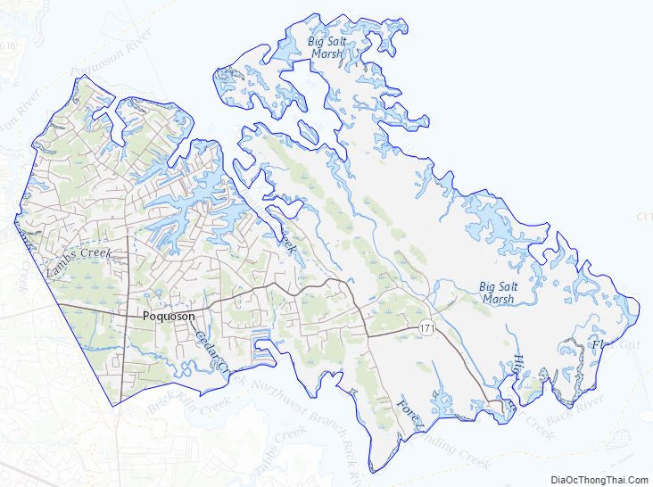
Poquoson City Road Map
Geography
Poquoson is located at 37°7′59″N 76°22′25″W / 37.13306°N 76.37361°W / 37.13306; -76.37361 (37.133153, -76.373881).
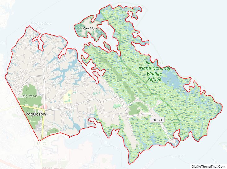
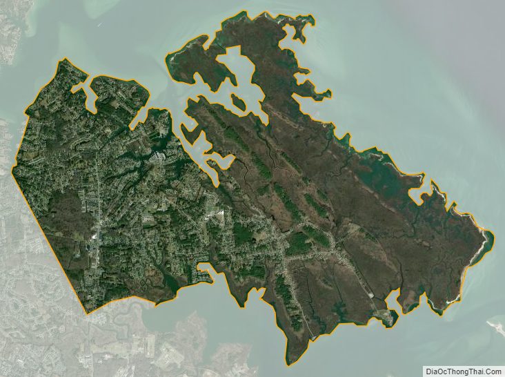
According to the United States Census Bureau, the city has a total area of 78 square miles (200 km), of which 15 square miles (39 km) is land and 63 square miles (160 km) (80.4%) is water.
The city is a peninsula containing twenty square miles and is located between the Poquoson River on the north, Back River and Wythe Creek (the Old Poquoson River) on the south, the Chesapeake Bay on the east, and York County on the west. The city also shares a border with the City of Hampton and a water boundary across Chesapeake Bay with Northampton County.
Climate
Poquoson’s mild four season climate means outdoor activities can be enjoyed year round. The weather in Poquoson is temperate and seasonal. Summers are hot and humid with cool evenings. The mean annual temperature is 60 °F (16 °C), with an average annual snowfall of 6 inches (15 cm) and an average annual rainfall of 47 inches (1,200 mm). No measurable snow fell in 1999. The wettest seasons are the spring and summer, although rainfall is fairly constant all year round. The highest recorded temperature was 105 °F (41 °C) in 1980. The lowest recorded temperature was −3 °F (−19 °C) on January 21, 1985.
Additionally, the geographic location of the city, with respect to the principal storm tracks, is generally favorable, as it is south of the usual path of storms originating in the higher latitudes, and north of the usual tracks of hurricanes and other major tropical storms. However, when in the path of a storm the City of Poquoson is subject to severe flooding due to its very low elevation above sea level. Poquoson was significantly impacted by the most destructive storm of 2003, Hurricane Isabel, which caused the worst flooding the Hampton Roads area had seen since the 1933 Chesapeake–Potomac hurricane 70 years earlier. During Hurricane Isabel, most of the city was under several feet of water due to the storm surge. Six years later the November 2009 Mid-Atlantic nor’easter again flooded much of the city. A mandatory evacuation order was issued during Hurricane Irene in 2011 which also caused significant flooding in Poquoson. As a result of these floods, many homes in Poquoson have been elevated on raised foundations.
National protected area
- Plum Tree Island National Wildlife Refuge
Poquoson City Topographic Map
Poquoson City Satellite Map
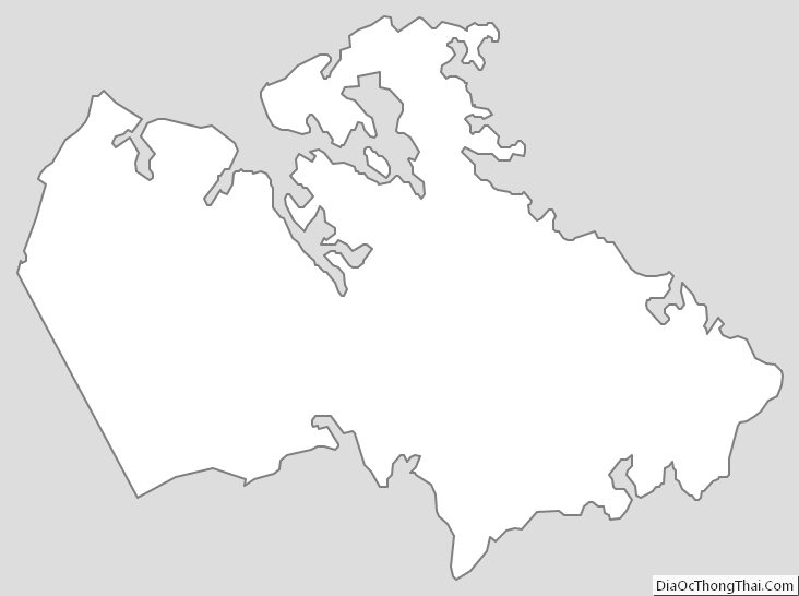
Poquoson City Outline Map