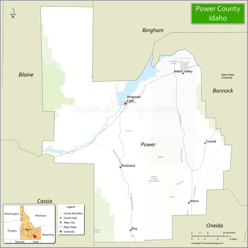
Power County is a county located in the U.S. state of Idaho. As of the 2010 Census, the county had a population of 7,817. The county seat and largest city is American Falls. The county was created by the Idaho Legislature on January 30, 1913, by a partition of Cassia County. It is named for an early hydroelectric power plant (1902) at the American Falls.
| Name: | Power County |
|---|---|
| FIPS code: | 16-077 |
| State: | Idaho |
| Founded: | January 30, 1913 |
| Named for: | power plant at the American Falls Dam |
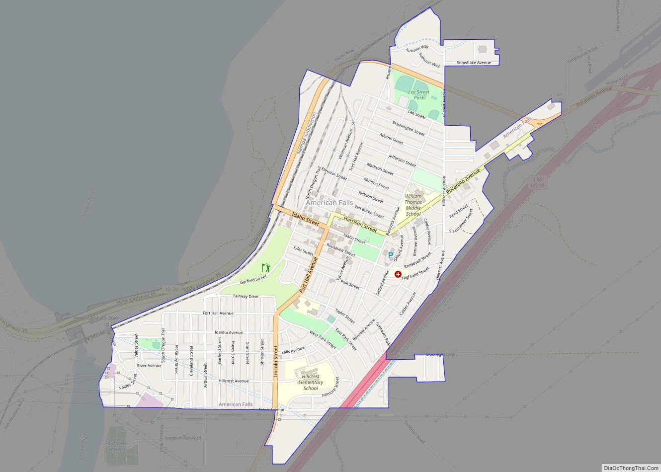
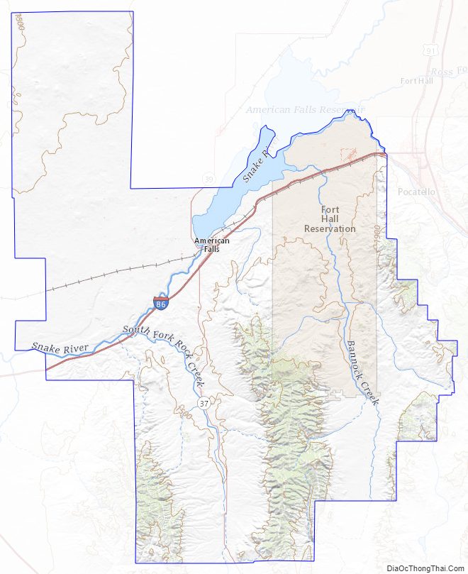
| Seat: | American Falls |
| Largest city: | American Falls |
| Total Area: | 1,443 sq mi (3,740 km²) |
| Land Area: | 1,404 sq mi (3,640 km²) |
| Total Population: | 7,878 |
| Population Density: | 5.5/sq mi (2.1/km²) |
| Time zone: | UTC−7 (Mountain) |
| Summer Time Zone (DST): | UTC−6 (MDT) |
| Website: | www.co.power.id.us |
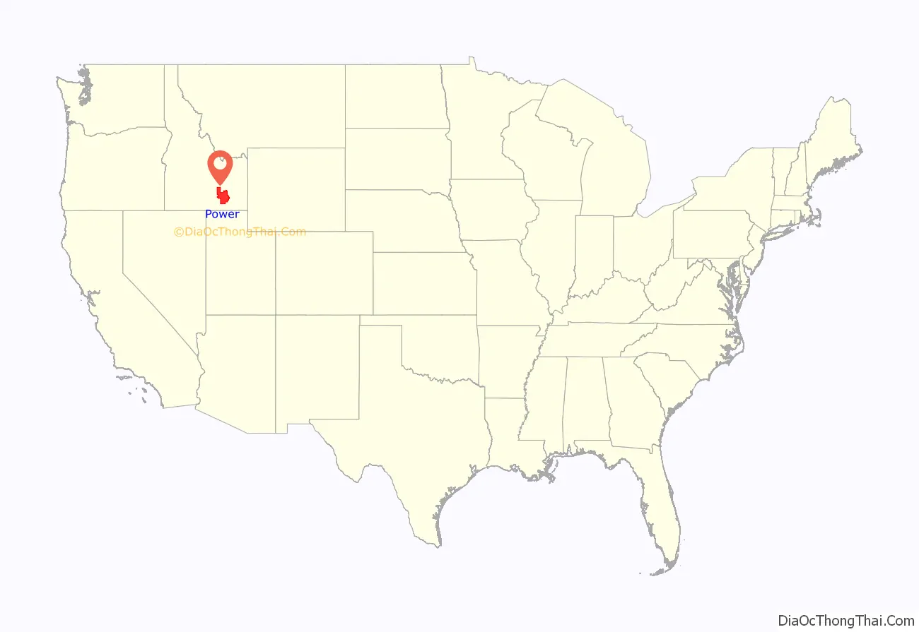
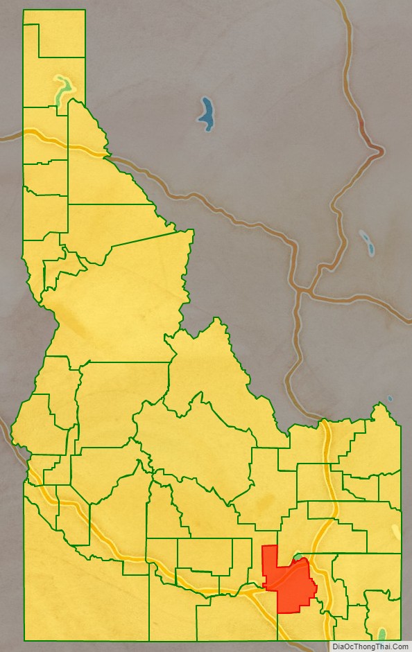
Power County location map. Where is Power County?
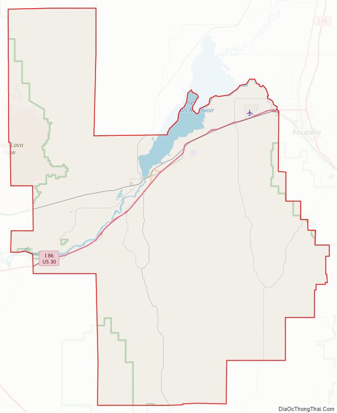
Power County Road Map
Geography
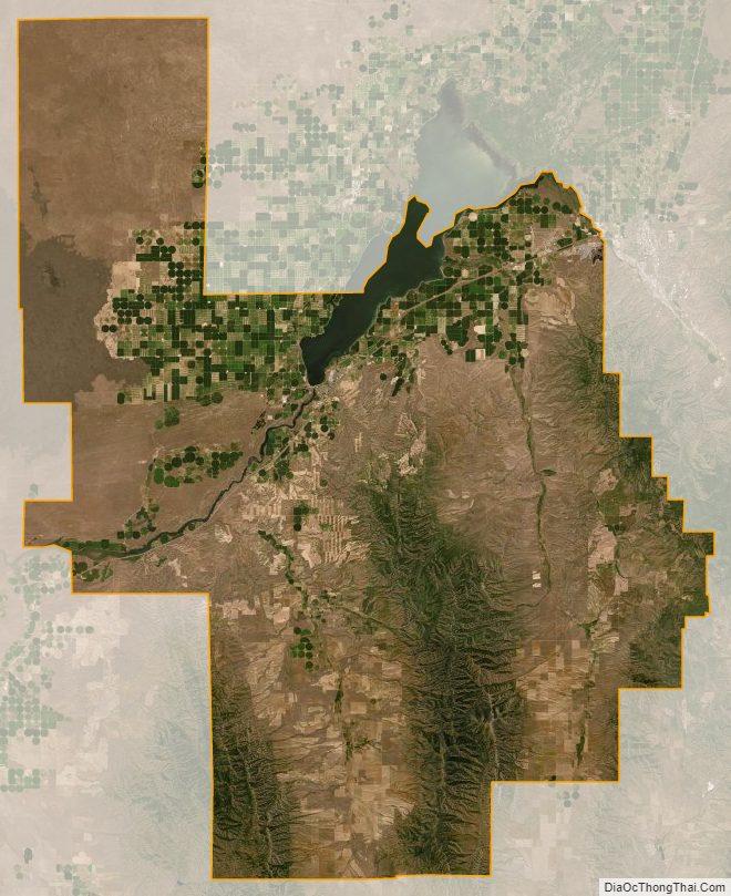
According to the U.S. Census Bureau, the county has a total area of 1,443 square miles (3,740 km), of which 1,404 square miles (3,640 km) is land and 38 square miles (98 km) (2.7%) is water.
Adjacent counties
- Bannock County – east
- Oneida County – south
- Bingham County – north
- Blaine County – northwest
- Cassia County – southwest
Major highways
- Interstate 86
- US 30
- SH-37
- SH-39
National protected areas
- Caribou National Forest (part)
- Craters of the Moon National Monument and Preserve (part)
- Curlew National Grassland (part)
- Minidoka National Wildlife Refuge (part)
- Sawtooth National Forest (part)
Power County Topographic Map
Power County Satellite Map
Power County Outline Map