Richmond County is a county located in the U.S. state of Georgia. As of the 2020 census, the population was 206,607. It is one of the original counties of Georgia, created February 5, 1777. Following an election in 1995, the city of Augusta (the county seat) consolidated governments with Richmond County. The consolidated entity is known as Augusta-Richmond County, or simply Augusta. Exempt are the cities of Hephzibah and Blythe, in southern Richmond County, which voted to remain separate. Richmond County is included in the Augusta-Richmond County, GA-SC Metropolitan Statistical Area.
| Name: | Richmond County |
|---|---|
| FIPS code: | 13-245 |
| State: | Georgia |
| Founded: | 1777 |
| Named for: | Charles Lennox, 3rd Duke of Richmond |
| Seat: | Augusta |
| Largest city: | Augusta |
| Total Area: | 329 sq mi (850 km²) |
| Land Area: | 324 sq mi (840 km²) |
| Total Population: | 206,607 |
| Population Density: | 638/sq mi (246/km²) |
| Time zone: | UTC−5 (Eastern) |
| Summer Time Zone (DST): | UTC−4 (EDT) |
| Website: | www.augustaga.gov |
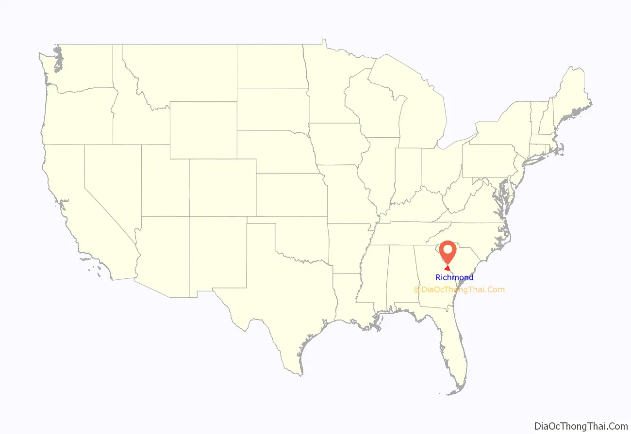
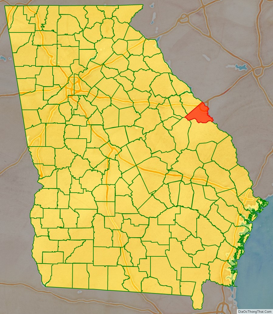
Richmond County location map. Where is Richmond County?
History
The county is named for Charles Lennox, 3rd Duke of Richmond, a British politician and office-holder sympathetic to the cause of the American colonies. Richmond was also a first cousin to King George III.
Richmond County was established in 1777 by the first Constitution of the (newly independent) State of Georgia. As such, it is one of the original counties of the state. It was formed out of a portion of the colonial Parish of St. Paul, after the Revolution disestablished the Church of England in the (former) Royal Province of Georgia.
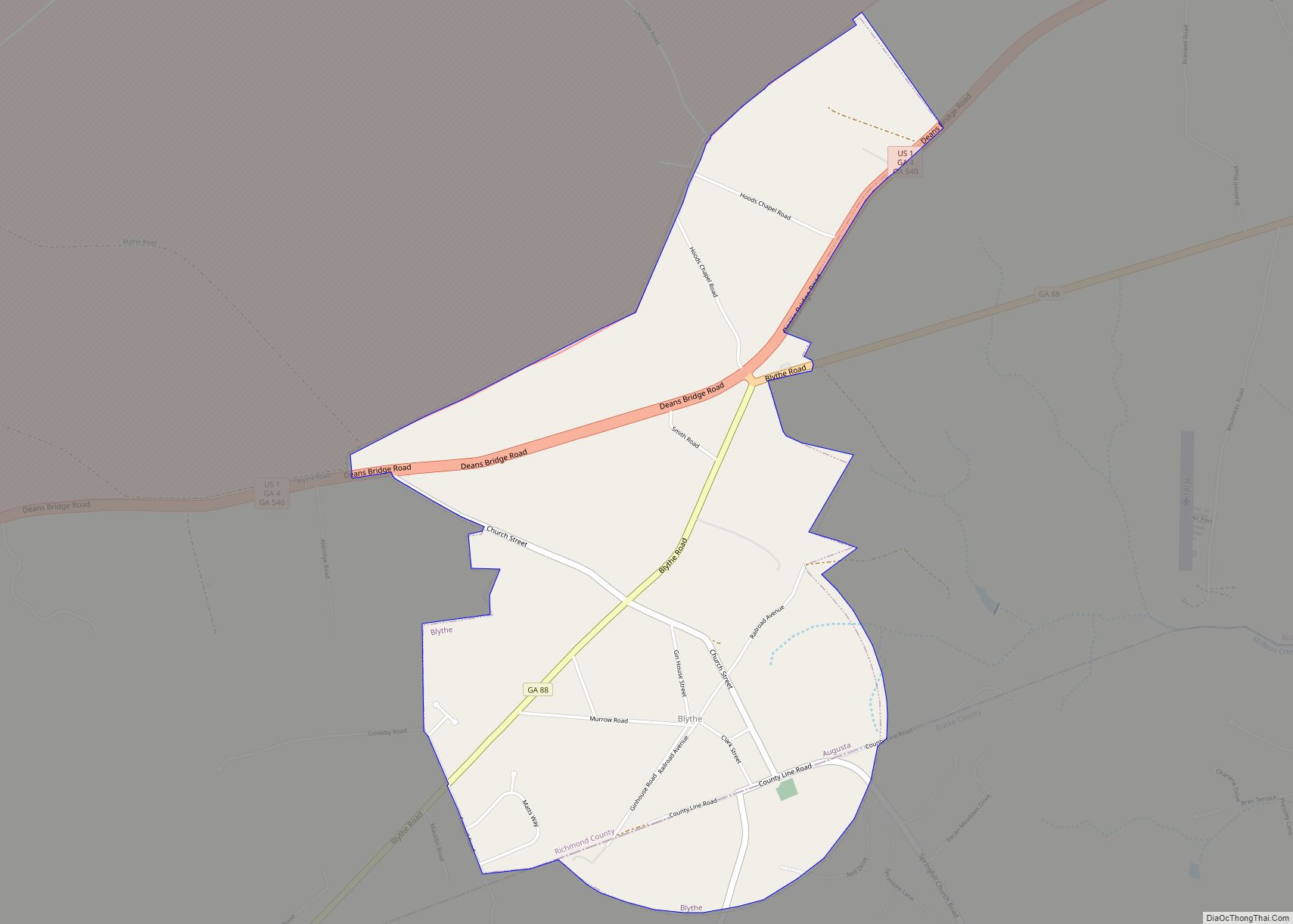
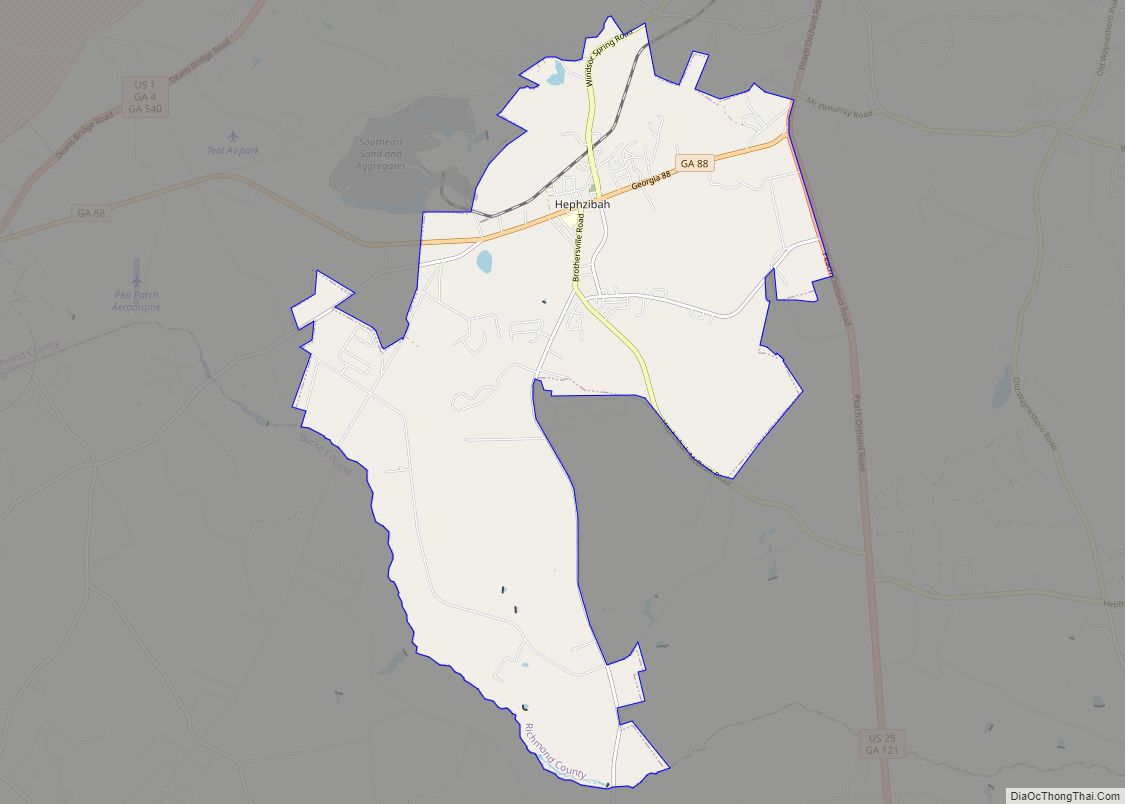
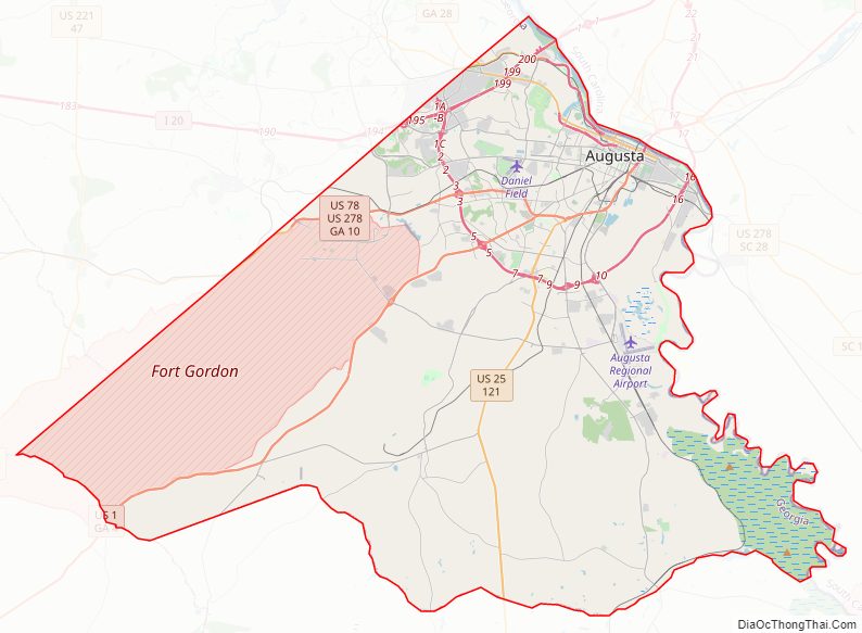
Richmond County Road Map
Geography
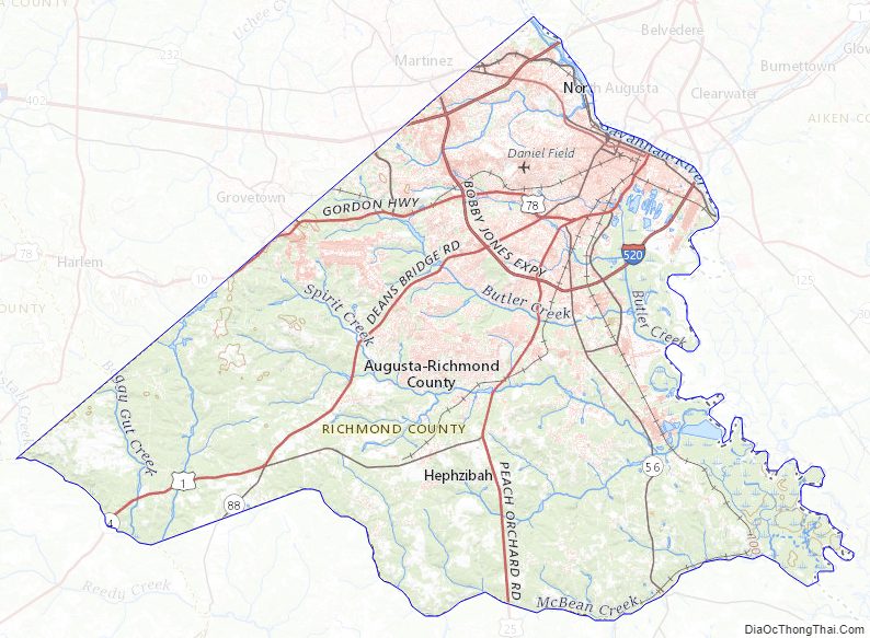
According to the U.S. Census Bureau, the county has a total area of 329 square miles (850 km), of which 324 square miles (840 km) is land and 4.3 square miles (11 km) (1.3%) is water.
The vast majority of Richmond County is located in the Middle Savannah River sub-basin of the Savannah River basin, with just the southwestern corner of the county, from a line running north from Blythe through the middle of Fort Gordon, located in the Brier Creek sub-basin of the Savannah River basin.
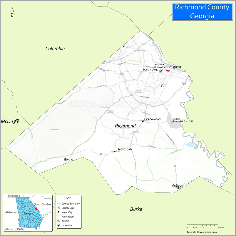
Adjacent counties
- Edgefield County, South Carolina (north)
- Aiken County, South Carolina (northeast)
- Burke County (south)
- Jefferson County (southwest)
- McDuffie County (west)
- Columbia County (northwest)
Richmond County Topographic Map
Richmond County Satellite Map
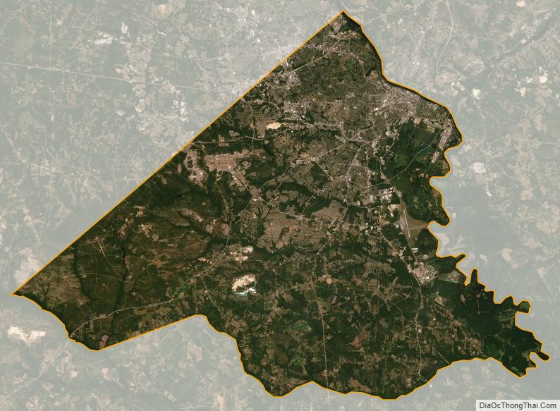
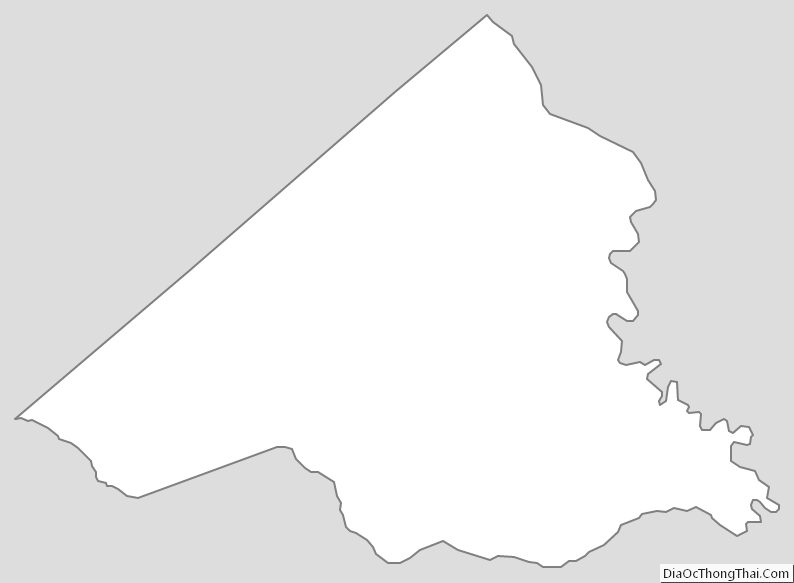
Richmond County Outline Map