Scott County is a county located in the U.S. state of Mississippi. As of the 2020 census, the population was 27,990. Its county seat is Forest. The county is named for Abram M. Scott, the Governor of Mississippi from 1832 to 1833.
| Name: | Scott County |
|---|---|
| FIPS code: | 28-123 |
| State: | Mississippi |
| Founded: | 1833 |
| Named for: | Abram M. Scott |
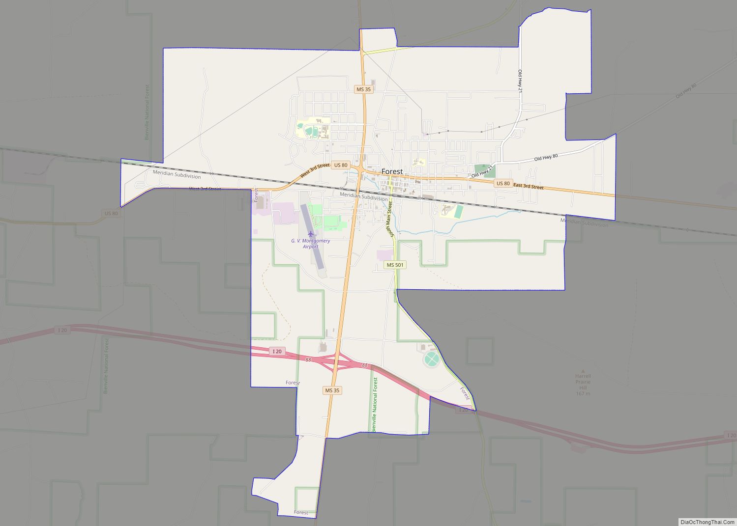
| Seat: | Forest |
| Largest city: | Forest |
| Total Area: | 610 sq mi (1,600 km²) |
| Land Area: | 609 sq mi (1,580 km²) |
| Total Population: | 27,990 |
| Population Density: | 46/sq mi (18/km²) |
| Time zone: | UTC−6 (Central) |
| Summer Time Zone (DST): | UTC−5 (CDT) |
| Website: | www.scottcountyms.gov |
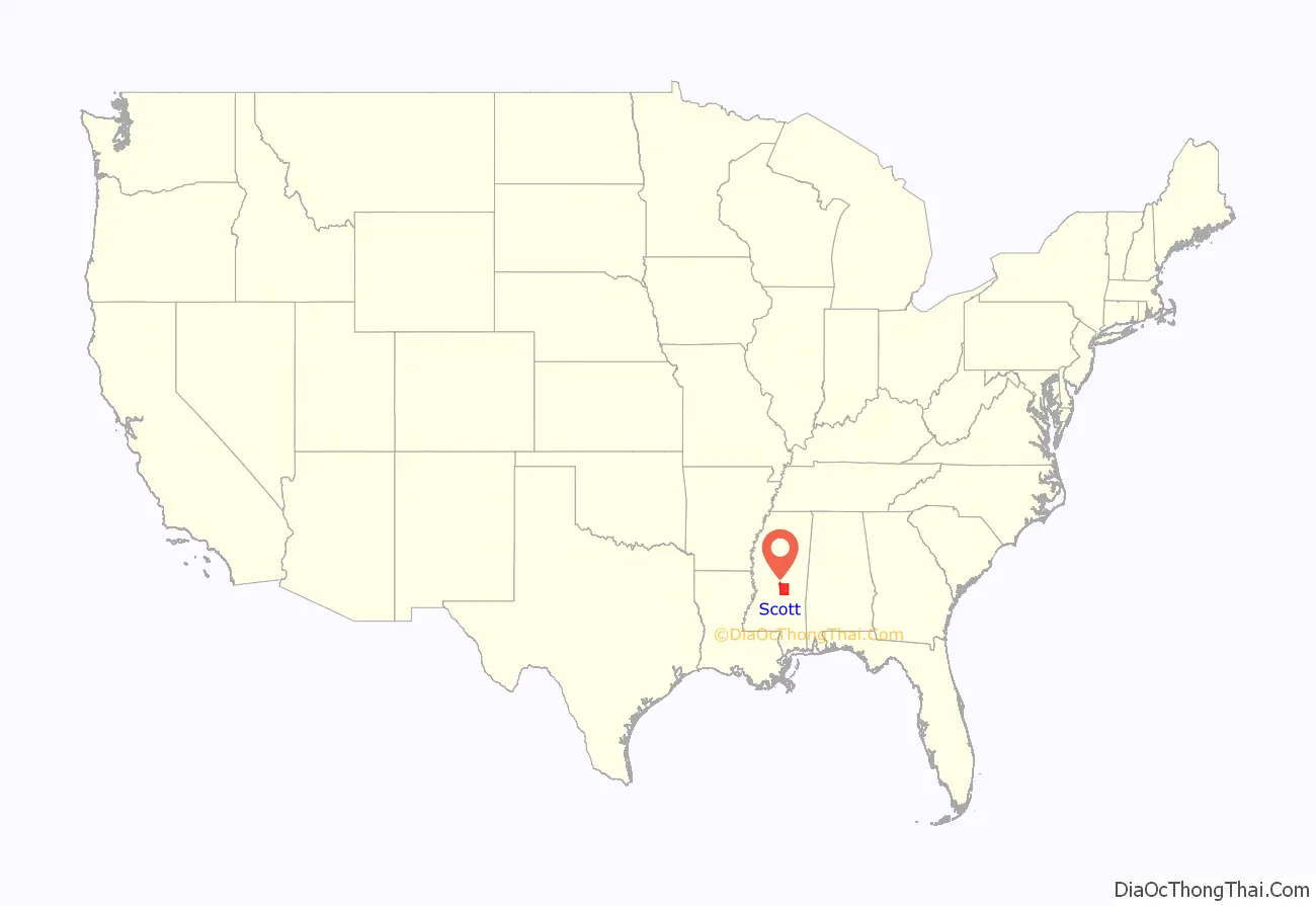
Scott County location map. Where is Scott County?
History
This area was developed by European Americans for cotton plantations. After the American Civil War, many freedmen worked as sharecroppers or tenant farmers on the plantations. In 1890 the state legislature disenfranchised most blacks, who were a majority in the state, by creating barriers to voter registration; it also passed Jim Crow laws, treating freedmen and their descendants as second-class citizens.
From 1877 to 1950, there were nine lynchings of blacks in Scott County. It was a form of racial terrorism that was at its height at the turn of the 20th century.
On October 23–25, 1898, a “race war” erupted in Harperville, an unincorporated community in Scott County, after blacks resisted one of their community being arrested for an alleged conflict with his white employer. They fatally shot a white deputy and wounded three others. A mob of whites gathered that night and started hunting down and killing black suspects, killing nine to eleven black men by the end of the following day. Sources vary in the count of fatalities, and some blacks were buried before being identified or counted. The county sheriff arrested some black suspects and took them first to the county seat at Forest, and then to Meridian for their safety. Associated Press and major newspapers covered the events.
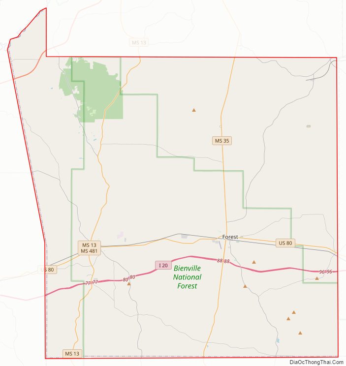
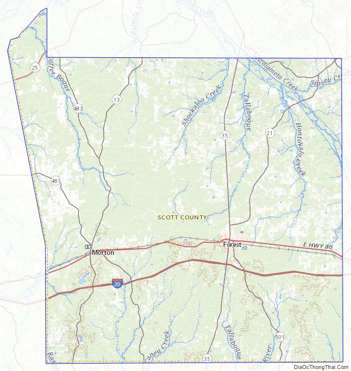
Scott County Road Map
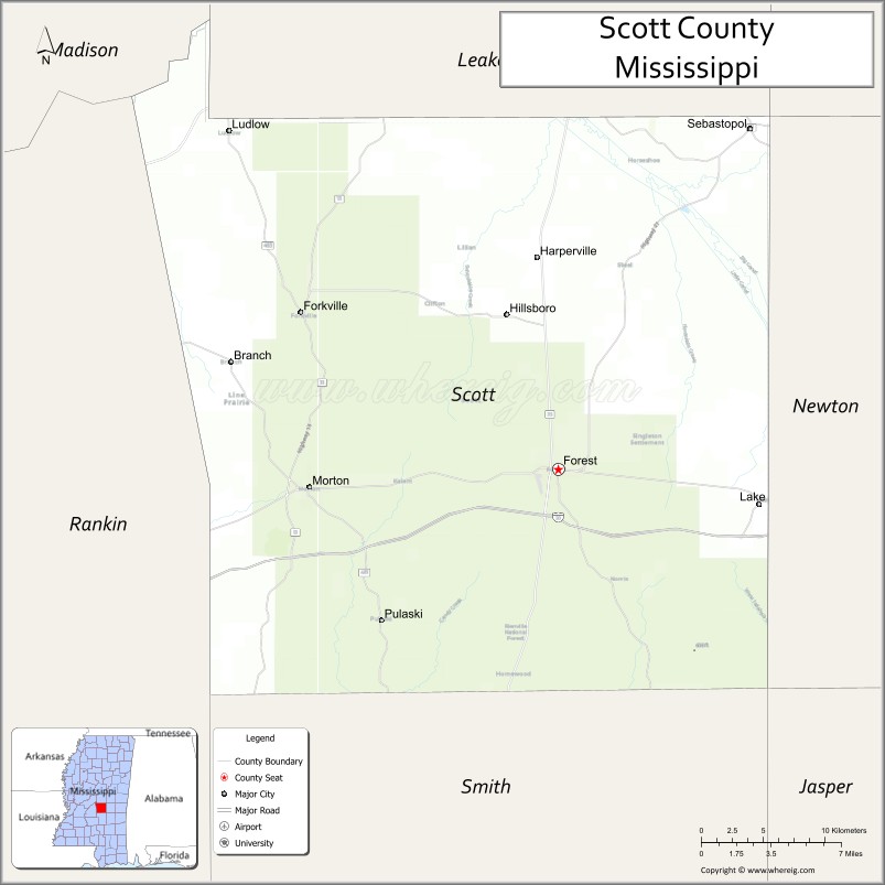
Geography
According to the U.S. Census Bureau, the county has a total area of 610 square miles (1,600 km), of which 609 square miles (1,580 km) is land and 1.2 square miles (3.1 km) (0.2%) is water.
It is an approximately 45 minute driving distance from Jackson.
Major highways
- Interstate 20
- U.S. Highway 80
- Mississippi Highway 13
- Mississippi Highway 21
- Mississippi Highway 35
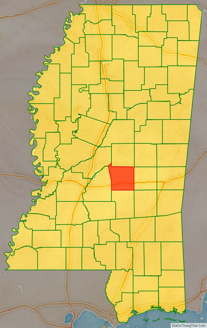
Adjacent counties
- Leake County (north)
- Newton County (east)
- Smith County (south)
- Rankin County (west)
- Madison County (northwest)
National protected area
- Bienville National Forest (part)
Scott County Topographic Map
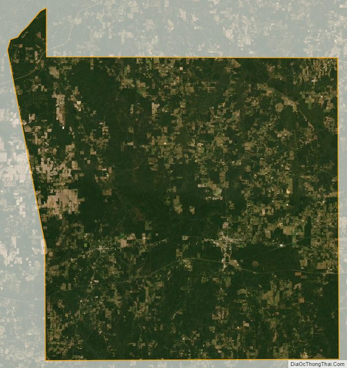
Scott County Satellite Map
Scott County Outline Map