Seminole County (/ˈsɛmɪnoʊl/, SEM-i-nohl) is a county located in the central portion of the U.S. state of Florida. As of the 2020 census, the population was 470,856, making it the 13th-most populated county in Florida. Its county seat and largest city is Sanford. Seminole County is part of the Orlando-Kissimmee-Sanford, Florida Metropolitan Statistical Area.
| Name: | Seminole County |
|---|---|
| FIPS code: | 12-117 |
| State: | Florida |
| Founded: | April 25, 1913 |
| Named for: | Seminole people |
| Seat: | Sanford |
| Largest city: | Sanford |
| Total Area: | 345 sq mi (890 km²) |
| Land Area: | 309 sq mi (800 km²) |
| Total Population: | 470,856 |
| Population Density: | 1,524/sq mi (588.6/km²) |
| Time zone: | UTC−5 (Eastern) |
| Summer Time Zone (DST): | UTC−4 (EDT) |
| Website: | www.seminolecountyfl.gov |
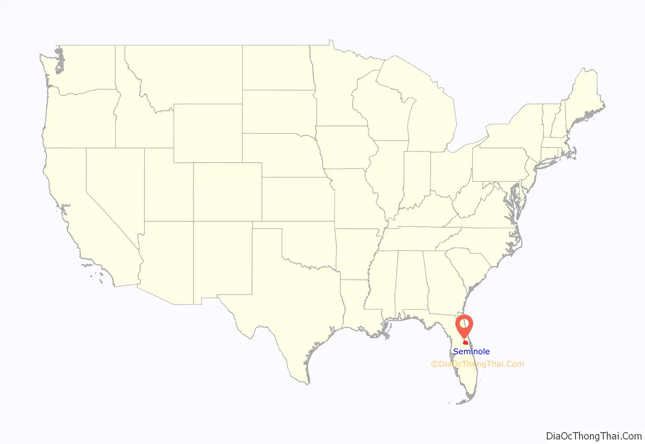
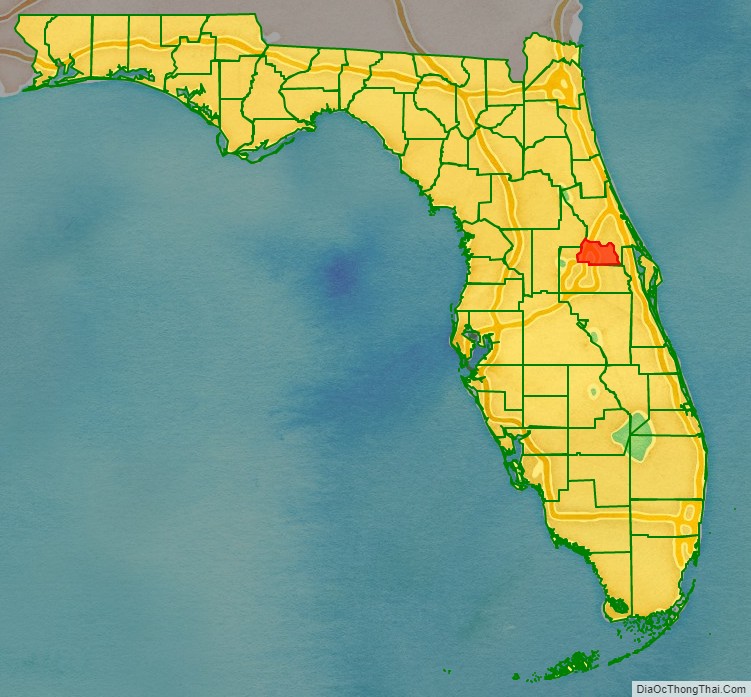
Seminole County location map. Where is Seminole County?
History
On July 21, 1821, two counties formed Florida: Escambia to the west and St. Johns to the east. In 1824, the area to the south of St. Johns County was designated Mosquito County, with its seat at Enterprise. The county’s name was changed to Orange County in 1845 when Florida became a state, and over the next 70 years several other counties were created. Seminole County was one of the last to split.
Seminole County was created on April 25, 1913, out of the northern portion of Orange County by the Florida Legislature. It was named for the Seminole people who historically lived throughout the area. The name “Seminole” is thought to be derived from the Spanish word cimarron, meaning “wild” or “runaway.”
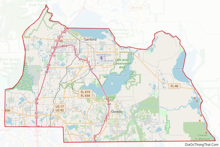
Seminole County Road Map
Geography
According to the U.S. Census Bureau, the county has an area of 345 square miles (890 km), of which 309 square miles (800 km) is land and 36 square miles (93 km) (10.4%) is water. It is Florida’s fourth-smallest county by land area and third-smallest by total area.
Seminole County’s location between Volusia County and Orange County has made it one of Florida’s fastest-growing counties. The Greater Orlando Metropolitan District which includes Seminole, Osceola, and the surrounding counties of Lake and Orange counties, together with neighboring Volusia and Brevard counties create a viable, progressive, and diverse setting for economic growth and residential development.
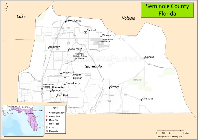
Adjacent counties
- Brevard County, Florida – east
- Volusia County, Florida – north and east
- Orange County, Florida – south and west
- Lake County, Florida – west
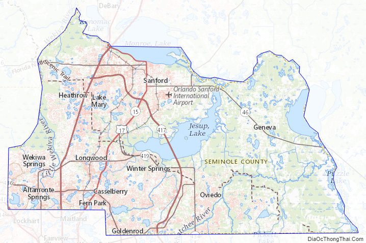
Seminole County Topographic Map
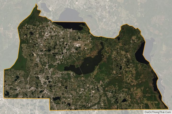
Seminole County Satellite Map
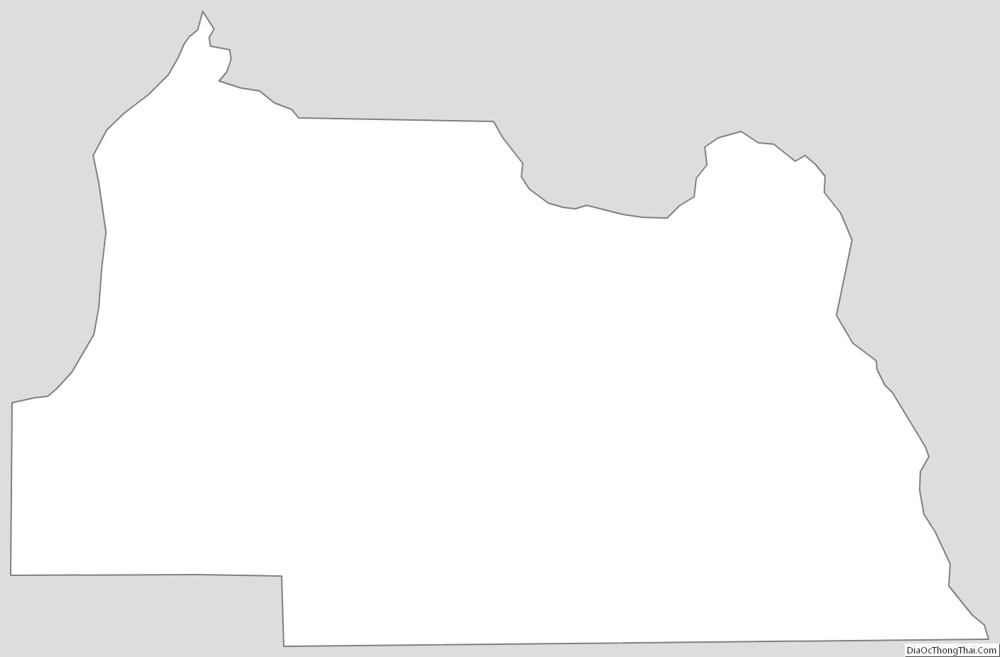
Seminole County Outline Map