Simpson County is a county located in the south central portion of the U.S. state of Kentucky. As of the 2020 census, the total population was 19,594. Its county seat is Franklin.
| Name: | Simpson County |
|---|---|
| FIPS code: | 21-213 |
| State: | Kentucky |
| Founded: | 1819 |
| Named for: | John Simpson |
| Seat: | Franklin |
| Largest city: | Franklin |
| Total Area: | 236 sq mi (610 km²) |
| Land Area: | 234 sq mi (610 km²) |
| Total Population: | 19,594 |
| Population Density: | 83/sq mi (32/km²) |
| Time zone: | UTC−6 (Central) |
| Summer Time Zone (DST): | UTC−5 (CDT) |
| Website: | simpsoncountyky.gov |
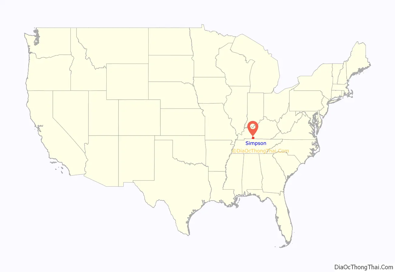
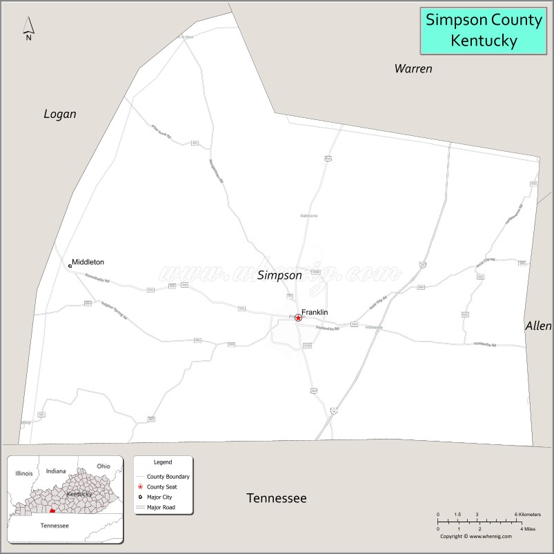
Simpson County location map. Where is Simpson County?
History
Simpson County was established in 1819 from Allen, Logan, and Warren Counties. The county is named for Captain John Simpson, a Kentucky militia officer who fought in Battle of Fallen Timbers in the Northwest Indian War, and was killed during the War of 1812 in the Battle of River Raisin.
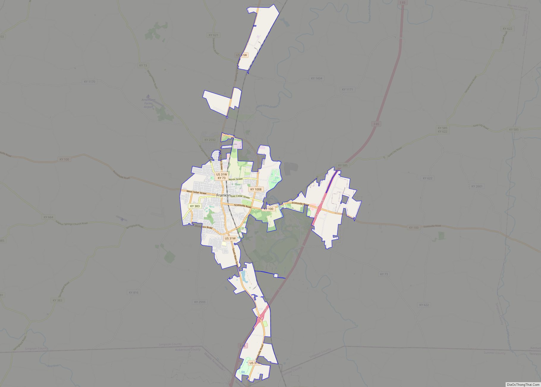
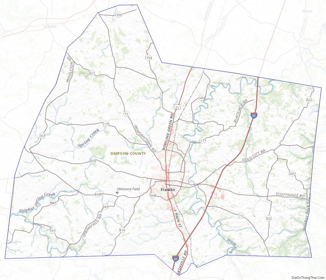
Simpson County Road Map
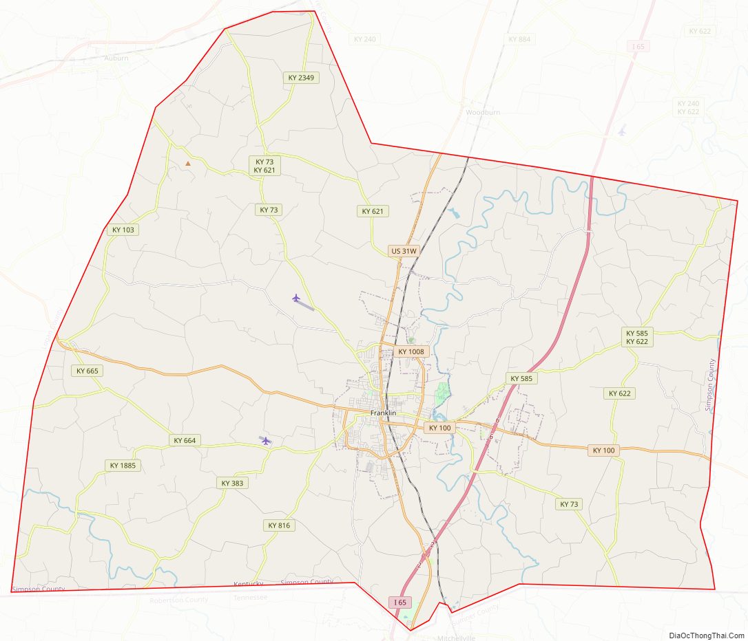
Geography
According to the United States Census Bureau, the county has a total area of 236 square miles (610 km), of which 234 square miles (610 km) is land and 2.3 square miles (6.0 km) (1.0%) is water. The county is located in the Pennyroyal Plateau region of the state.
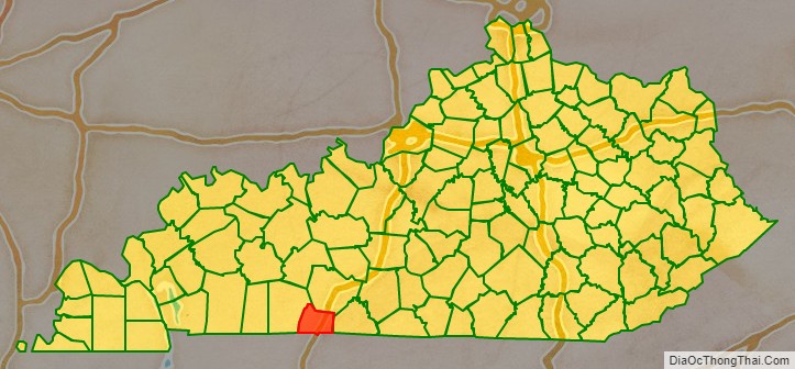
Adjacent counties
- Warren County (north)
- Allen County (east)
- Sumner County, Tennessee (southeast)
- Robertson County, Tennessee (southwest)
- Logan County (west)
Simpson County Topographic Map
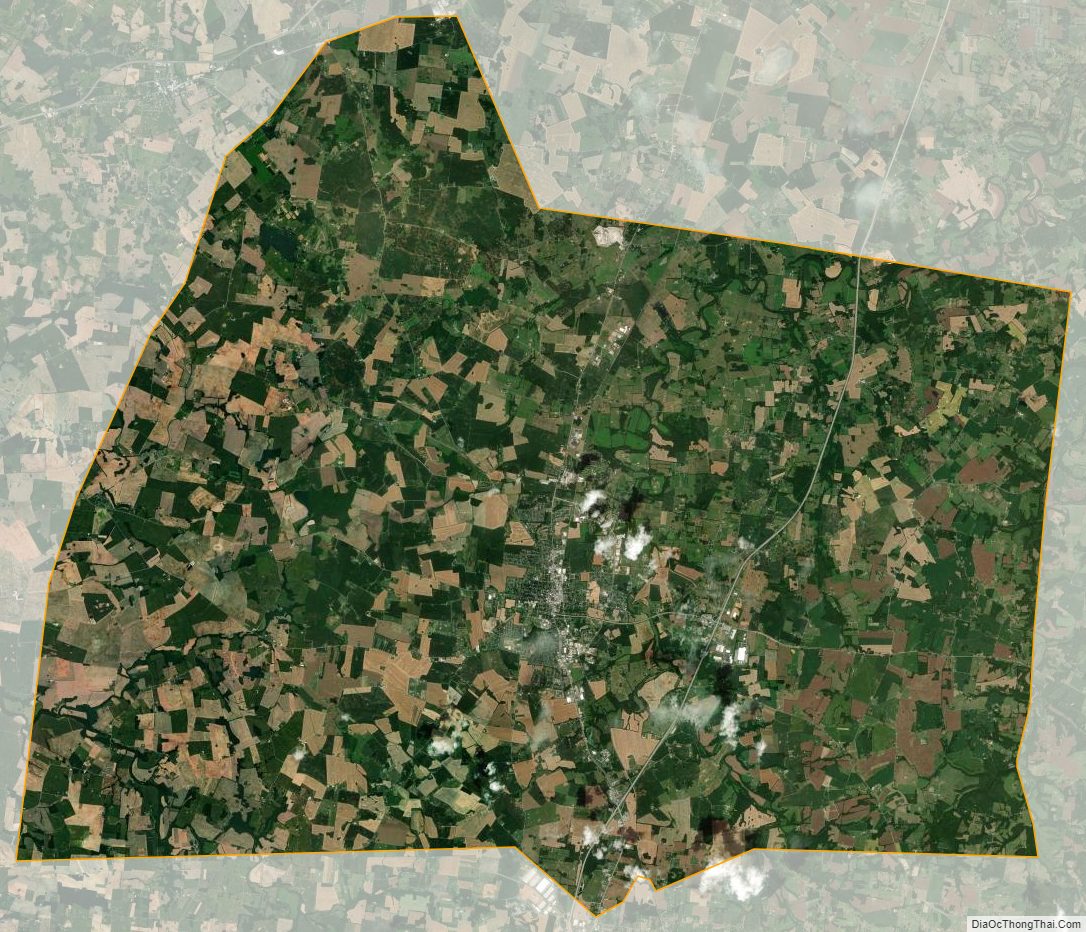
Simpson County Satellite Map
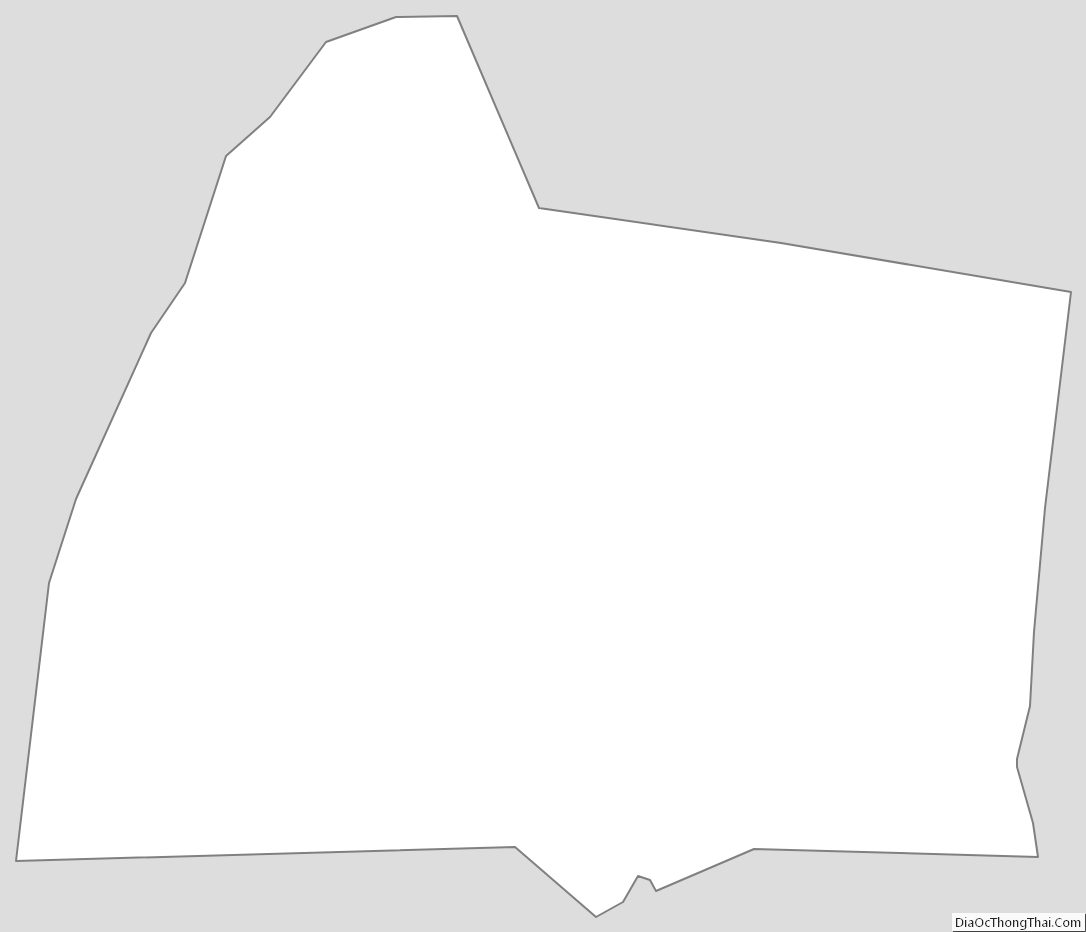
Simpson County Outline Map