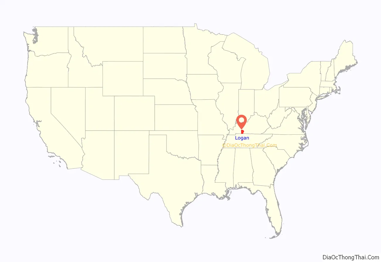
Logan County is a county in the southwest Pennyroyal Plateau area of the U.S. Commonwealth of Kentucky. As of the 2020 census, the population was 27,432. Its county seat is Russellville.
| Name: | Logan County |
|---|---|
| FIPS code: | 21-141 |
| State: | Kentucky |
| Founded: | 1792 |
| Named for: | Benjamin Logan |
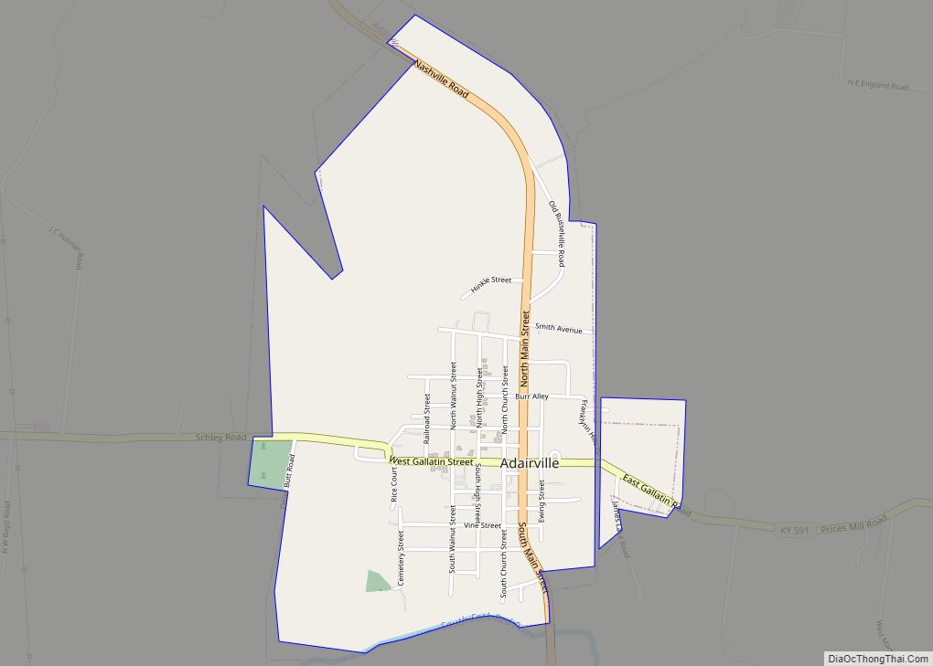
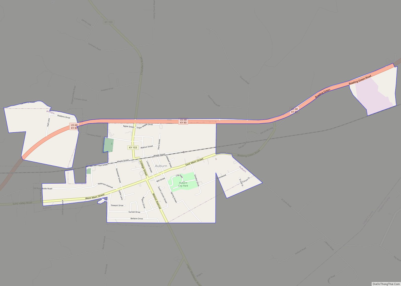
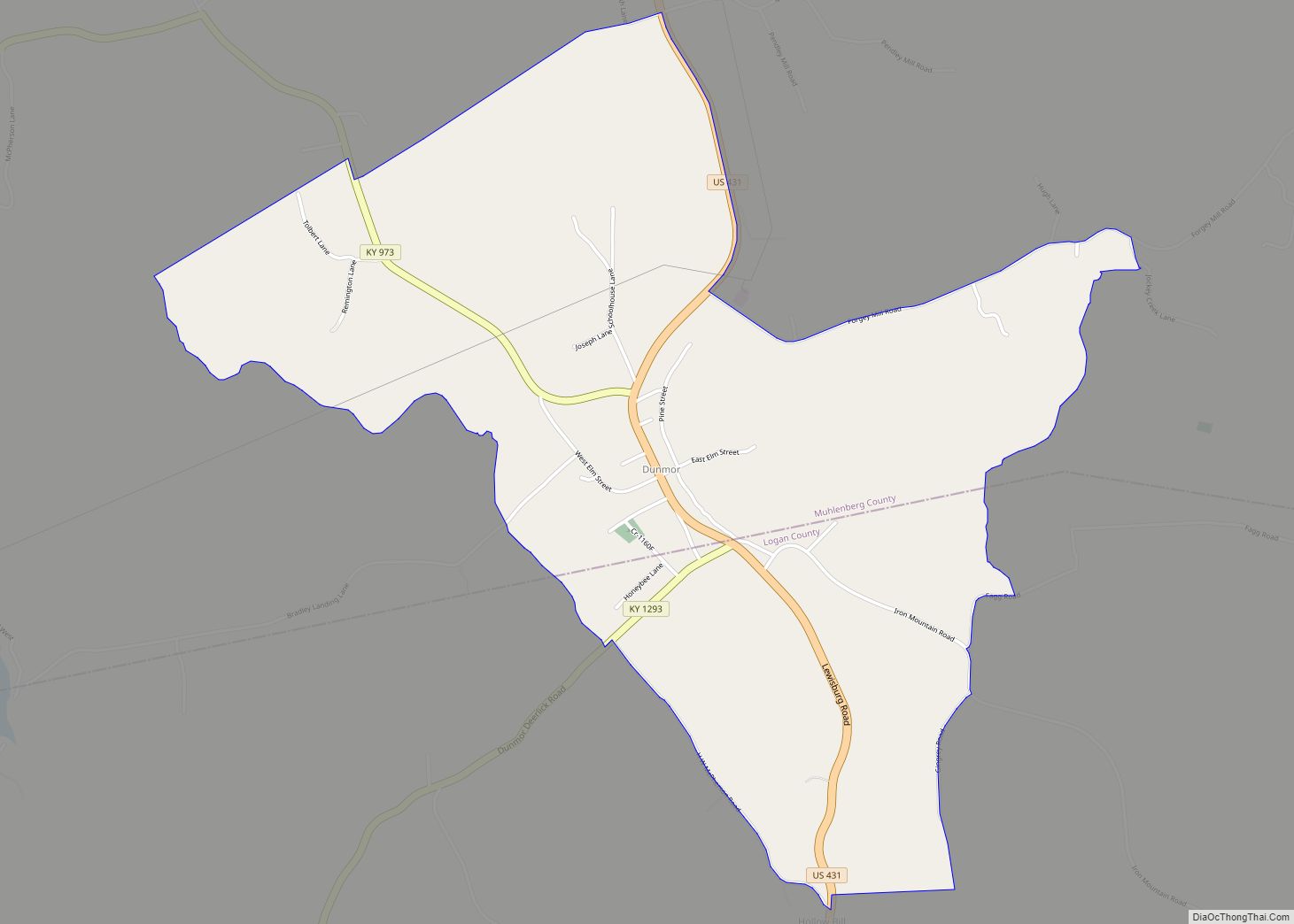
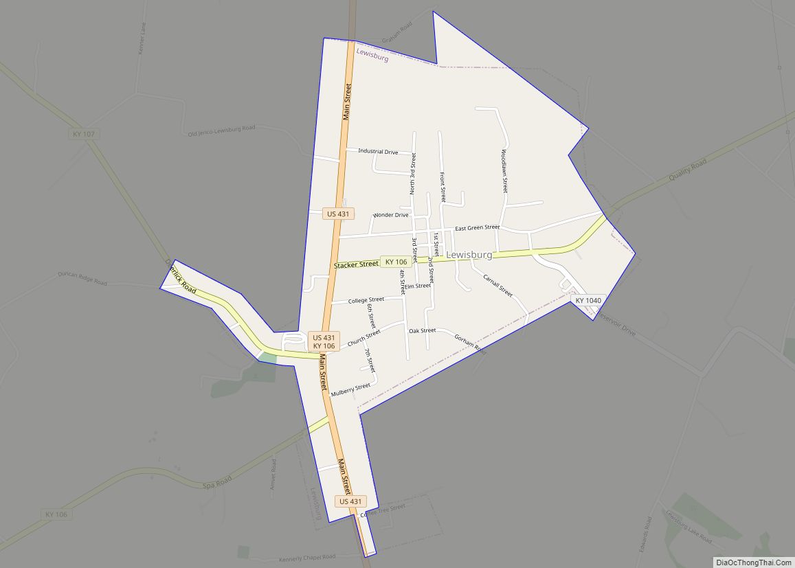
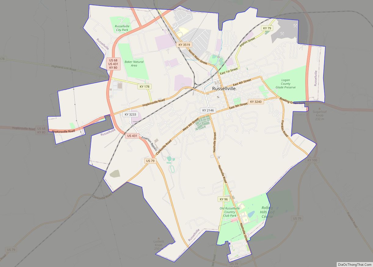
| Seat: | Russellville |
| Largest city: | Russellville |
| Total Area: | 557 sq mi (1,440 km²) |
| Land Area: | 552 sq mi (1,430 km²) |
| Total Population: | 27,432 |
| Population Density: | 49/sq mi (19/km²) |
| Time zone: | UTC−6 (Central) |
| Summer Time Zone (DST): | UTC−5 (CDT) |
| Website: | logancounty.ky.gov |
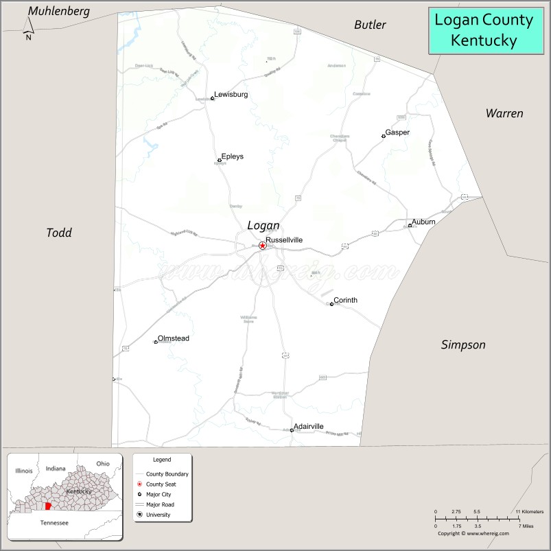
Logan County location map. Where is Logan County?
History
The county is named for Benjamin Logan, who had been second in command of the Kentucky militia during the American Revolutionary War and was a leader in bringing statehood to the area. Created from Lincoln County on September 1, 1792, Logan was the 13th Kentucky county in order of formation. Its original territory stretched from the Mississippi in the west to the Little Barren River in the east, and from the Green and Ohio Rivers in the north to the Tennessee border on the south; since then, 28 other counties have been formed within that area. The settlement of Logan Court House was made the county seat at its incorporation under the name Russellville.
Future President Andrew Jackson fought a pistol duel against Charles Dickinson at Harrison’s Mill in Logan County on May 30, 1806. Jackson was seriously wounded and Dickinson was killed.
During the post-Reconstruction period, there was considerable racial violence by white mobs against black citizens in Logan County. Racist mobs lynched 12 African Americans in the county during the years between 1877 and 1908; most were killed around the turn of the 20th century. This is a higher total than in all but one other county in the state. Four men were killed in a mass lynching on August 1, 1908, in Russellville, during the civil unrest associated with the Black Patch Tobacco Wars. Sharecroppers Joseph Riley, and Virgil, Robert, and Thomas Jones, the last three members of the same family, were all hanged from the same cedar tree. They were the last persons lynched in Logan county.
Logan was a major tobacco-growing county, with Dark Fired Tobacco produced by a special smoke processing. From 1906 some of its farmers became involved in the violent Black Patch Tobacco Wars, joining the Dark Tobacco District Planters’ Protective Association of Kentucky and Tennessee to mobilize against the monopoly power of the American Tobacco Company, which had driven down prices to where farmers could barely make a living. Paramilitary Night Riders threatened other tobacco planters to “persuade” them to join the PPA. In late 1907 and early 1908, hundreds of Night Riders conducted raids against tobacco warehouses in some Kentucky towns. They struck Russellville on January 3, 1908, taking over the city and dynamiting two tobacco factories.
21st century
In 2009, the Logan County/Russellville Little League Baseball team won the Little League World Series Great Lakes Regional Tournament as the 4th team from Kentucky to do so (as of 2017, Kentucky has had seven teams win the Great Lakes Tournament) to represent the Great Lakes Region in the Little League World Series.
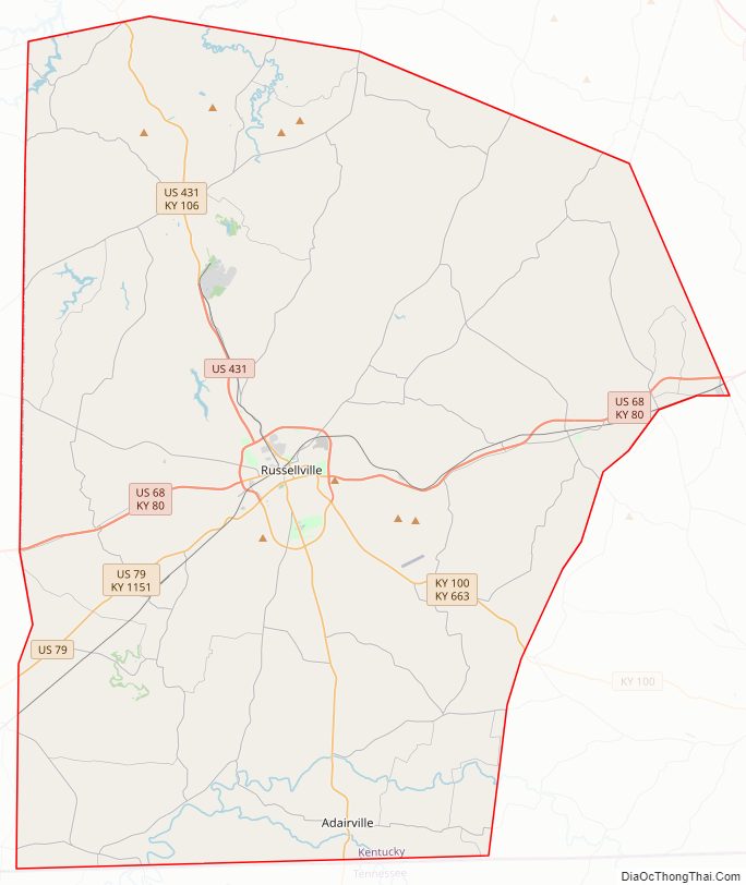
Logan County Road Map
Geography
Logan County is on the south border of Kentucky; its south line abuts the north line of Tennessee. Its low hills are completely devoted to agriculture or urban development. Its highest point (868 feet (265 meters) ASL) is Rainbow Rock Knob WSW, located 3.6 miles (5.8 km) ESE from Russellville. The Red River flows northwestward through the central and west part of the county, discharging into Todd County on the west.
According to the United States Census Bureau, the county has a total area of 557 square miles (1,440 km), of which 552 square miles (1,430 km) is land and 4.9 square miles (13 km) (0.9%) is water.
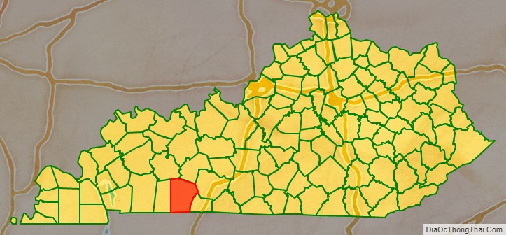
Adjacent counties
- Muhlenberg County – northwest
- Butler County – north
- Warren County – northeast
- Simpson County – southeast
- Robertson County, Tennessee – south
- Todd County – west
Lakes
- Briggs Lake
- Boy Scout Lake
- Lake Herndon
- Lake Malone (part)
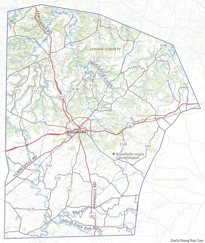
Logan County Topographic Map
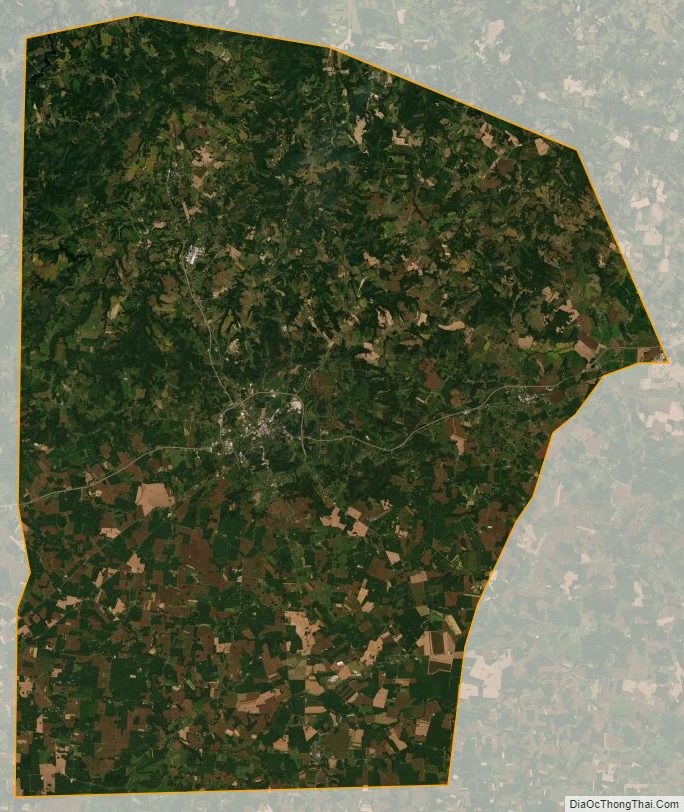
Logan County Satellite Map
Logan County Outline Map