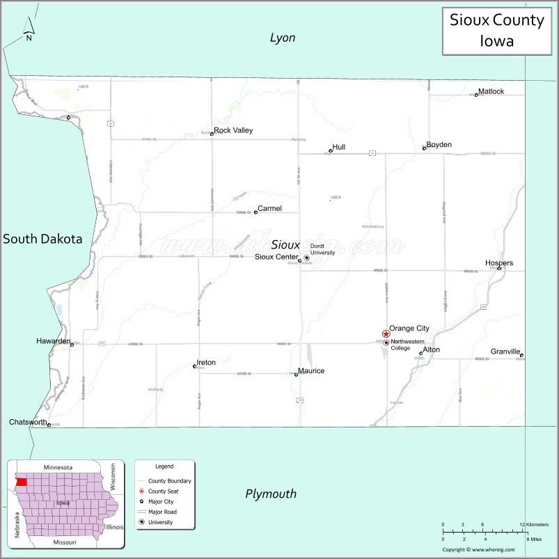
Sioux County is a county located in the U.S. state of Iowa. As of the 2020 census, the population was 35,872. Its county seat is Orange City. Its largest city is Sioux Center.
| Name: | Sioux County |
|---|---|
| FIPS code: | 19-167 |
| State: | Iowa |
| Founded: | 1851 |
| Named for: | Sioux people |
| Seat: | Orange City |
| Largest city: | Sioux Center |
| Total Area: | 769 sq mi (1,990 km²) |
| Land Area: | 768 sq mi (1,990 km²) |
| Total Population: | 35,872 |
| Population Density: | 47/sq mi (18/km²) |
| Time zone: | UTC−6 (Central) |
| Summer Time Zone (DST): | UTC−5 (CDT) |
| Website: | siouxcountyia.gov |
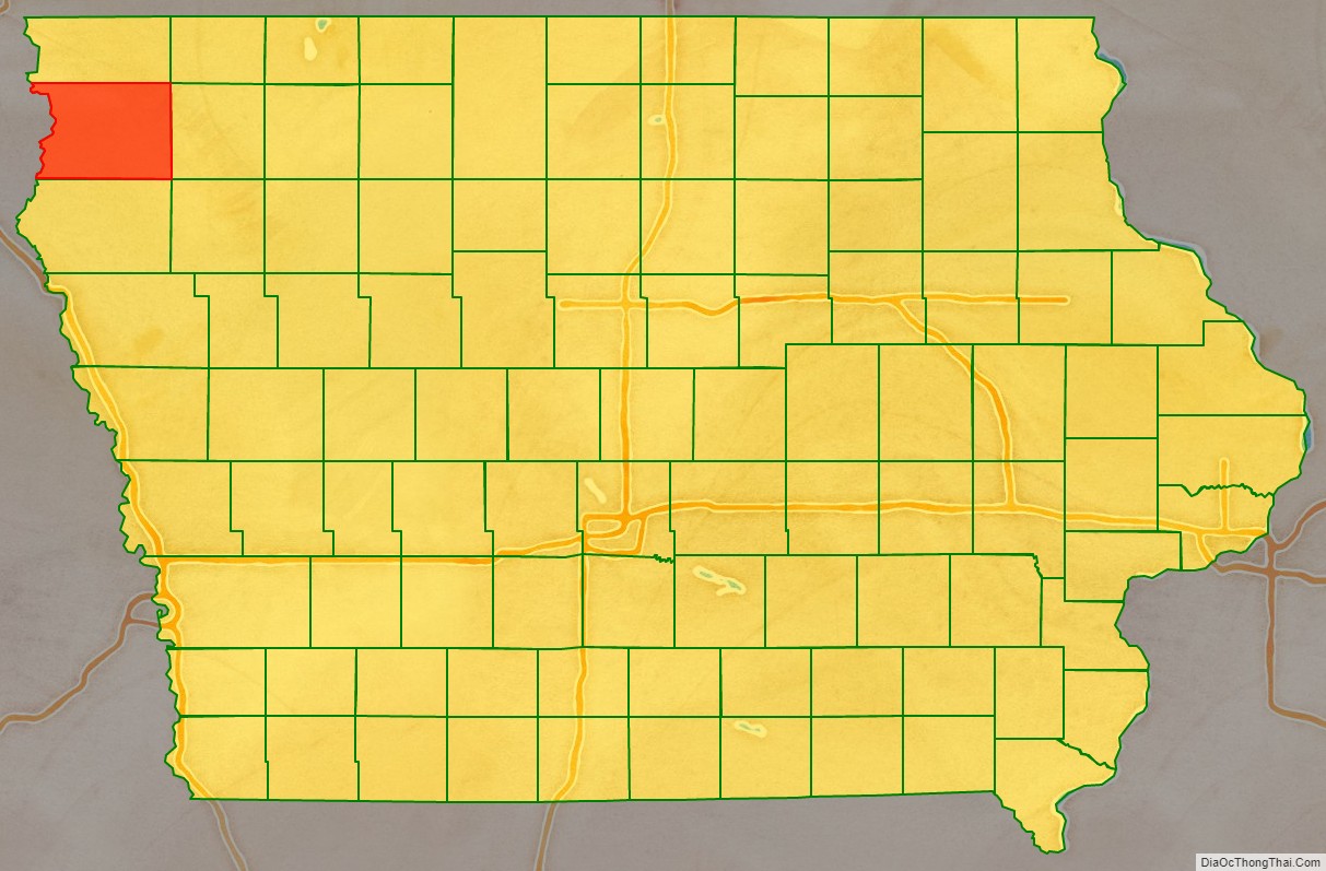
Sioux County location map. Where is Sioux County?

History
Sioux County was formed on January 15, 1851. It has been self-governed since January 20, 1860. It was named after the Sioux tribe.
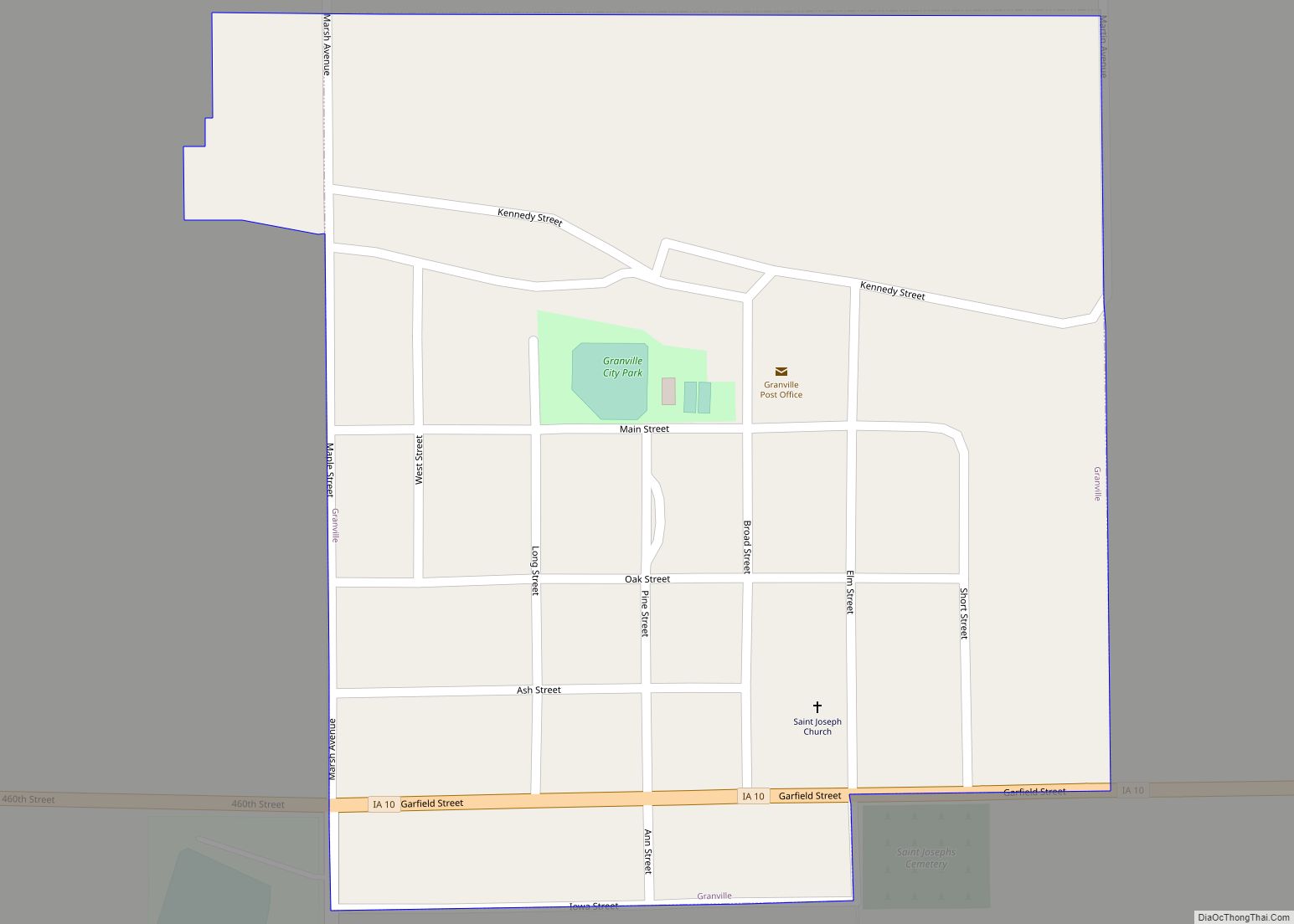
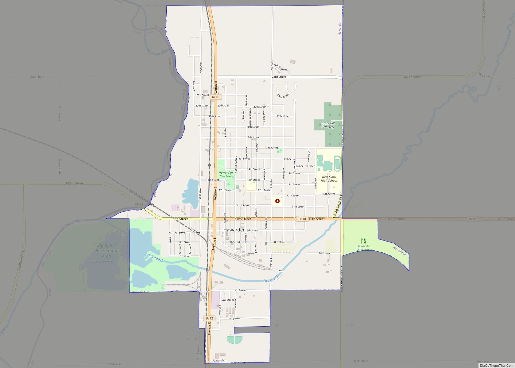
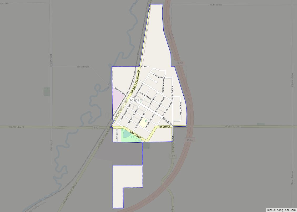
The first county seat was Calliope in 1860, then a small village with 15 inhabitants, and now part of Hawarden. The first courthouse was built here in 1860 and served as such until 1872. A larger immigration wave began in 1869, primarily of Dutch. In 1872, Orange City was declared the seat. In June 1902, the construction began on a new Sioux County courthouse designed by W.W. Beach. Of red sandstone, it was completed in 1904, and still serves as the courthouse. From 1976 until 1982 the building was completely restored, and in 1977, it was listed on the National Register of Historic Places.
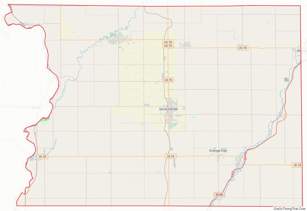
Sioux County Road Map
Geography
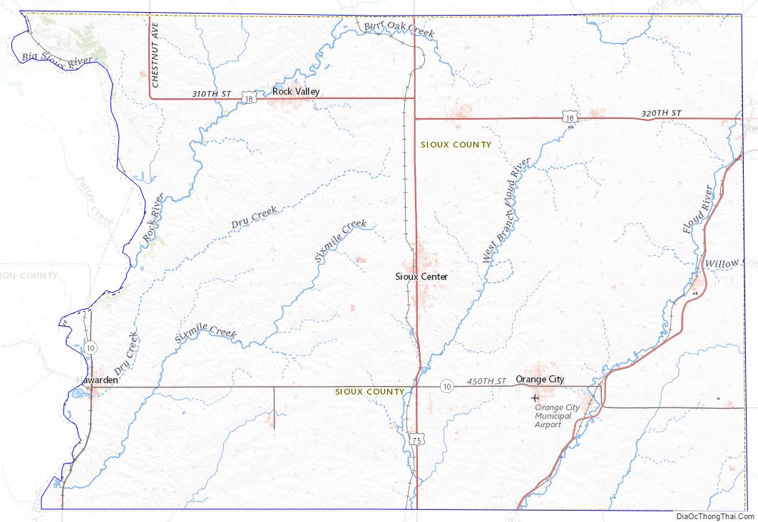
According to the U.S. Census Bureau, the county has a total area of 769 square miles (1,990 km), of which 768 square miles (1,990 km) is land and 0.7 square miles (1.8 km) (0.09%) is water.
Western Sioux County drains to the south west to the Rock River or the Big Sioux River. Eastern Sioux County drains to the south east to the Floyd River.
Major highways
- U.S. Highway 18
- U.S. Highway 75
- Iowa Highway 10
- Iowa Highway 12
- Iowa Highway 60
Adjacent counties
- Lyon County (north)
- O’Brien County (east)
- Plymouth County (south)
- Union County, South Dakota (southwest)
- Lincoln County, South Dakota (northwest)
Sioux County Topographic Map
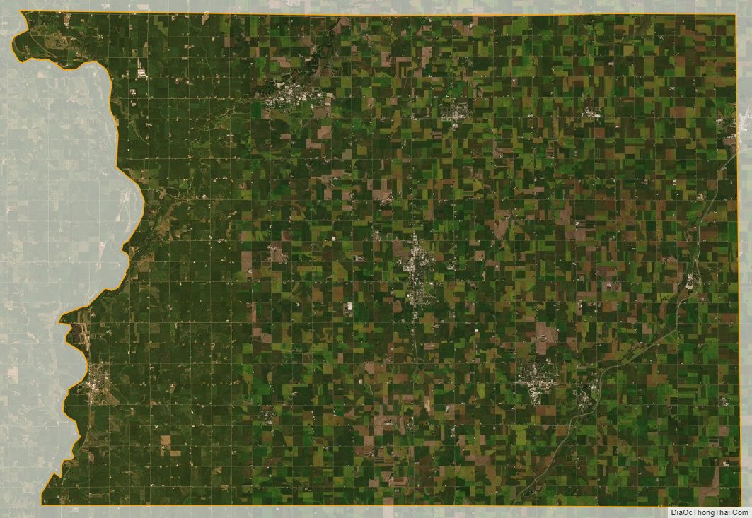
Sioux County Satellite Map
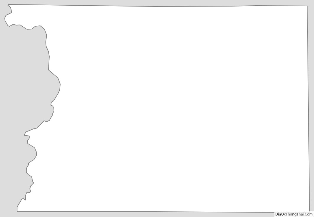
Sioux County Outline Map