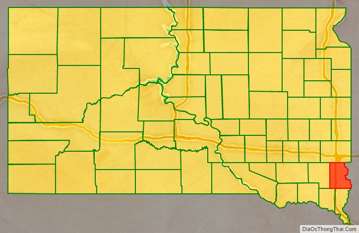
Lincoln County is a county in the U.S. state of South Dakota. As of the 2020 United States Census, the population was 65,161, making it the third-most populated county in the state. Its county seat is Canton. The county was named for Abraham Lincoln, 16th President of the United States.
Lincoln County is included in the Sioux Falls, SD, Metropolitan Statistical Area.
It is one of the top 10 fastest-growing counties in the United States in terms of rate of population increase, rate of housing unit increase, and many other factors. This is due to the southward growth of Sioux Falls, and the expansion of its suburbs.
| Name: | Lincoln County |
|---|---|
| FIPS code: | 46-083 |
| State: | South Dakota |
| Founded: | December 30, 1867 |
| Named for: | Lincoln County, Maine OR Abraham Lincoln |
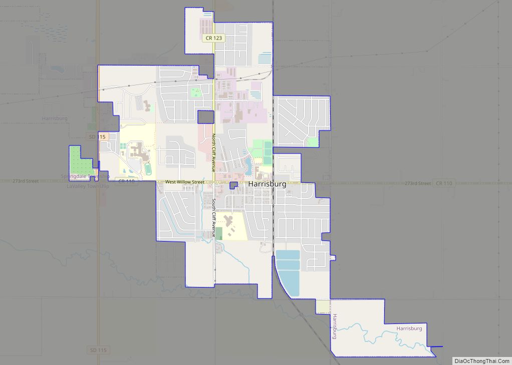
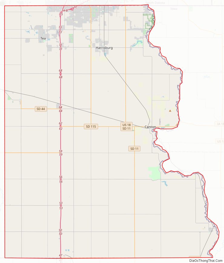
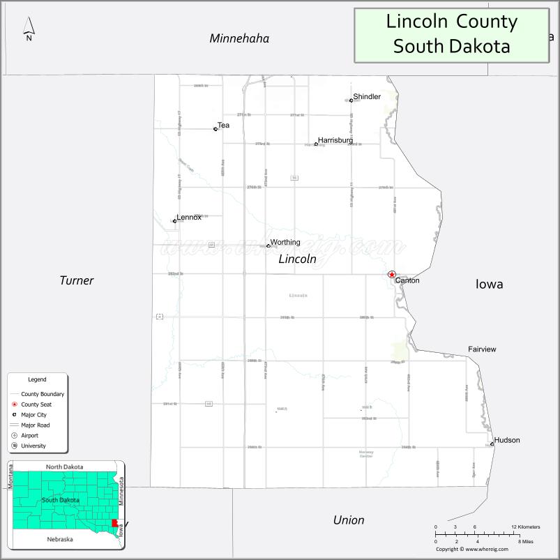
| Seat: | Canton |
| Largest city: | Sioux Falls |
| Total Area: | 578 sq mi (1,500 km²) |
| Land Area: | 577 sq mi (1,490 km²) |
| Total Population: | 65,161 |
| Population Density: | 110/sq mi (44/km²) |
| Time zone: | UTC−6 (Central) |
| Summer Time Zone (DST): | UTC−5 (CDT) |
| Website: | lincolncountysd.org |
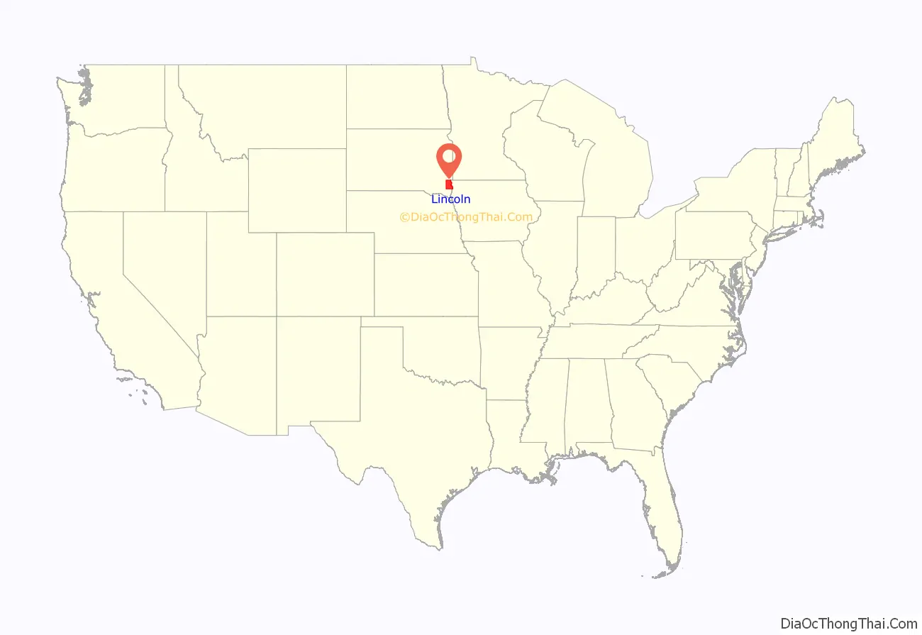
Lincoln County location map. Where is Lincoln County?
Lincoln County Road Map
Geography
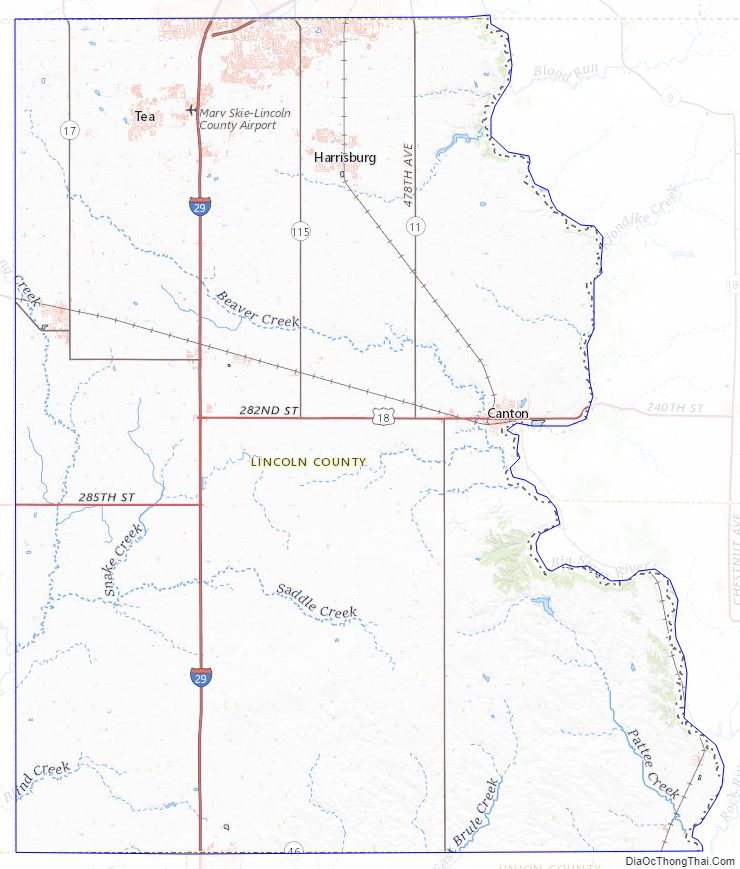
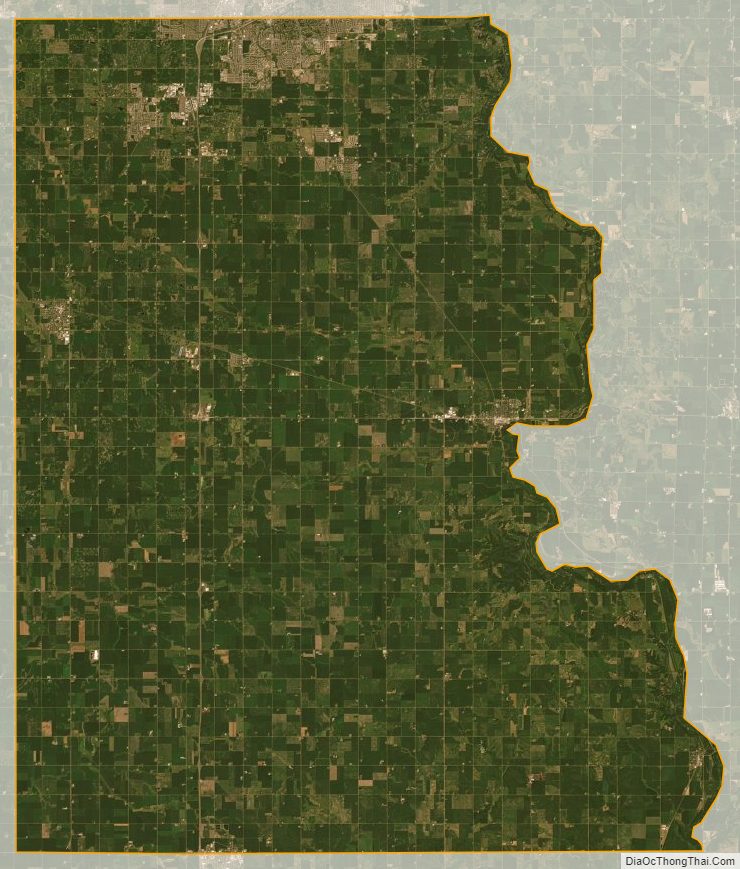
The Big Sioux River flows south-southeastward along the east line of Lincoln County. Lincoln County is on the eastern line of South Dakota. Its east boundary line abuts the west boundary line of the state of Iowa (across the river).
The county terrain consists of low rolling hills. The county area is largely devoted to agriculture. The terrain slopes to the southeast, and drops off to the river valley along its east edge. The county has a total area of 578 square miles (1,500 km), of which 577 square miles (1,490 km) is land and 0.5 square miles (1.3 km) (0.08%) is water.
Lakes
- Lake Alvin
- Lake Lakota
Protected areas
- Atkins Waterfowl Production Area
- Fish State Game Production Area
- Good Earth State Park
- Johnson State Game Production Area
- Klondike State Game Production Area
- Lake Alvin State Game Production Area
- Lake Alvin State Recreation Area
- McKee State Game Production Area
- Newton Hills State Park
- Nine Mile Creek State Game Production Area
- Oak Ridge State Game Production Area
- Pattee Lake State Game Production Area
- Rolling State Game Production Area
- Watershed Lake State Game Production Area
- Worthing State Game Production Area
Major highways
- Interstate 29
- Interstate 229
- U.S. Highway 18
- South Dakota Highway 11
- South Dakota Highway 17
- South Dakota Highway 44
- South Dakota Highway 46
- South Dakota Highway 115
Adjacent counties
- Minnehaha County – north
- Lyon County, Iowa – northeast
- Sioux County, Iowa – southeast
- Union County – south
- Clay County – southwest
- Turner County – west
Lincoln County Topographic Map
Lincoln County Satellite Map
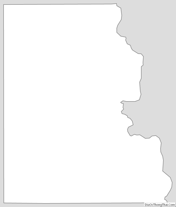
Lincoln County Outline Map