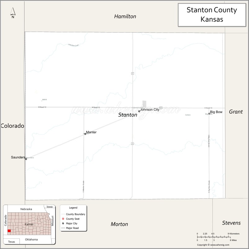
Stanton County (standard abbreviation: ST) is a county located in the U.S. state of Kansas. As of the 2020 census, the county population was 2,084. Its county seat is Johnson City.
| Name: | Stanton County |
|---|---|
| FIPS code: | 20-187 |
| State: | Kansas |
| Founded: | 1887 |
| Named for: | Edwin Stanton |
| Seat: | Johnson City |
| Largest city: | Johnson City |
| Total Area: | 680 sq mi (1,800 km²) |
| Land Area: | 680 sq mi (1,800 km²) |
| Total Population: | 2,084 |
| Population Density: | 3.1/sq mi (1.2/km²) |
| Time zone: | UTC−6 (Central) |
| Summer Time Zone (DST): | UTC−5 (CDT) |
| Website: | StantonCountyKS.com |
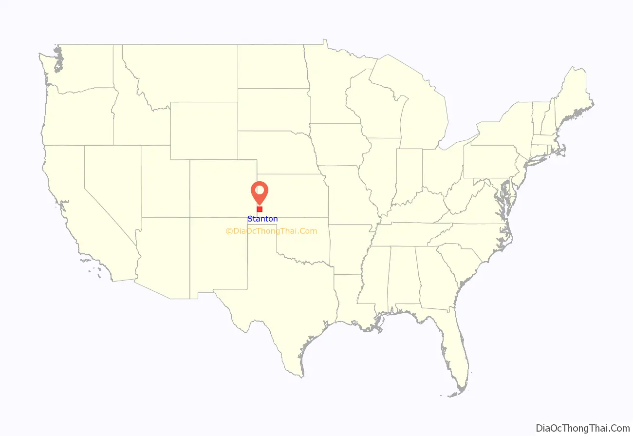
Stanton County location map. Where is Stanton County?
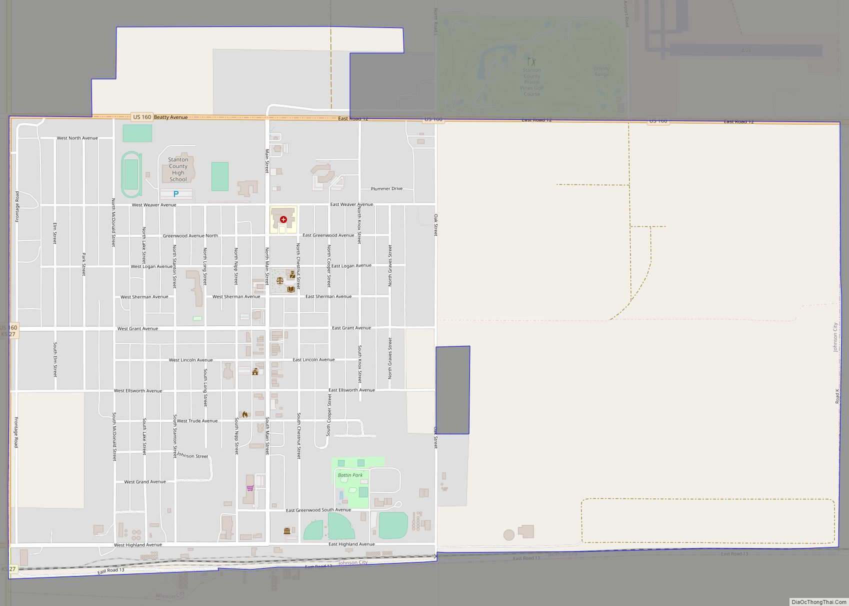
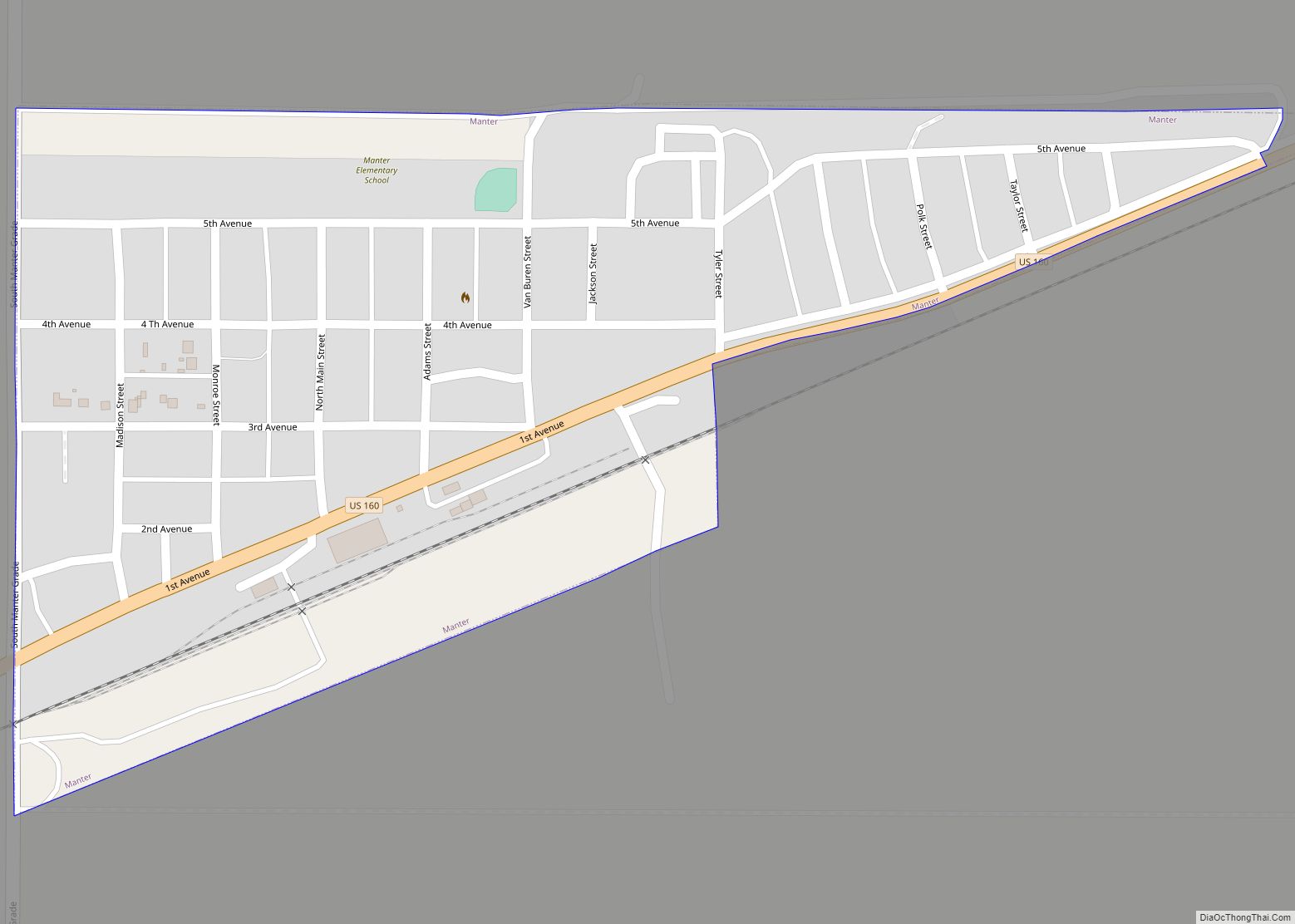
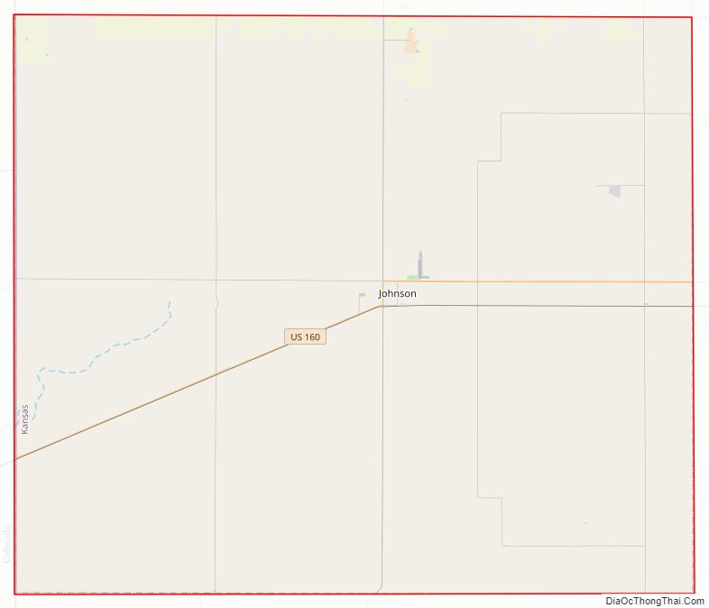
Stanton County Road Map
Geography
According to the United States Census Bureau, the county has a total area of 680 square miles (1,800 km), of which 680 square miles (1,800 km) is land and 0.07 square miles (0.18 km) (0.01%) is water.
Major highways
- U.S. Highway 160
- Kansas Highway 27
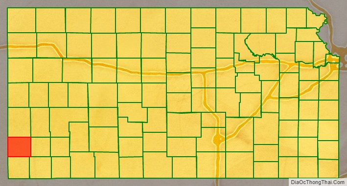
Adjacent counties
- Hamilton County (north/Mountain Time border)
- Grant County (east)
- Stevens County (southeast)
- Morton County (south)
- Baca County, Colorado (west/Mountain Time border)
- Prowers County, Colorado (northwest/Mountain Time border)
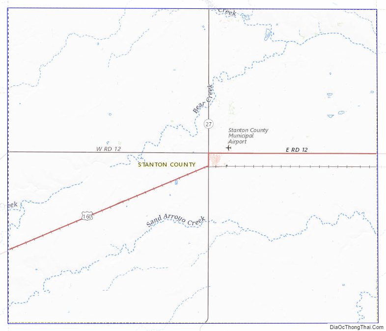
Stanton County Topographic Map
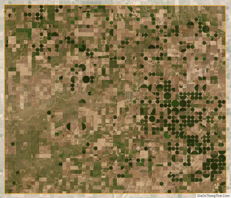
Stanton County Satellite Map
Stanton County Outline Map