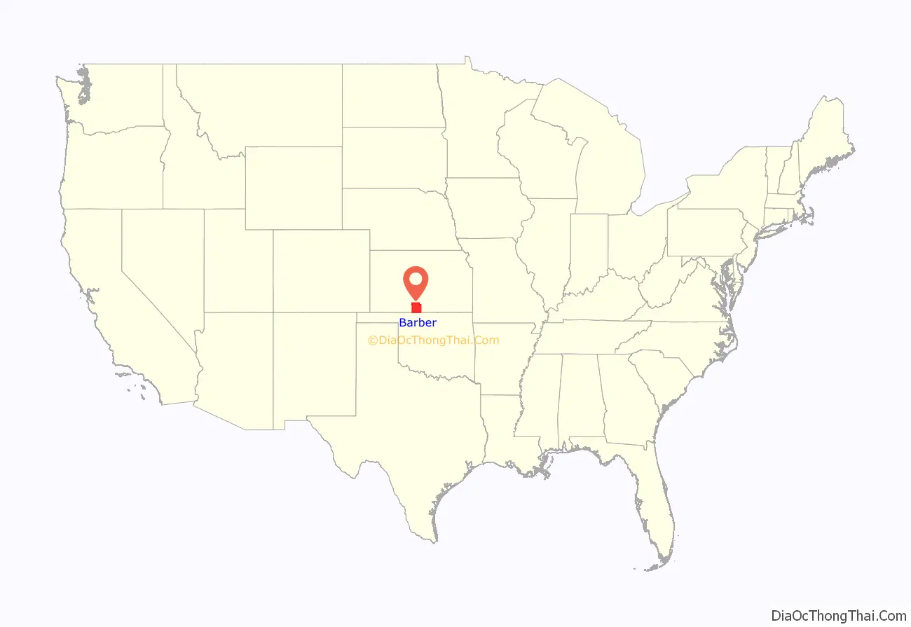
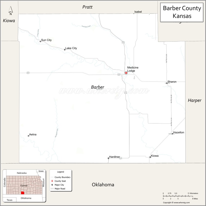
Barber County (county code BA) is a county located in the south-central portion of the U.S. state of Kansas. As of the 2020 census, the county population was 4,228. Its county seat and most populous city is Medicine Lodge. It was named for Thomas Barber, an abolitionist who was killed in Douglas County in 1855 during the Wakarusa War.
| Name: | Barber County |
|---|---|
| FIPS code: | 20-007 |
| State: | Kansas |
| Founded: | February 26, 1867 |
| Named for: | Thomas W. Barber |
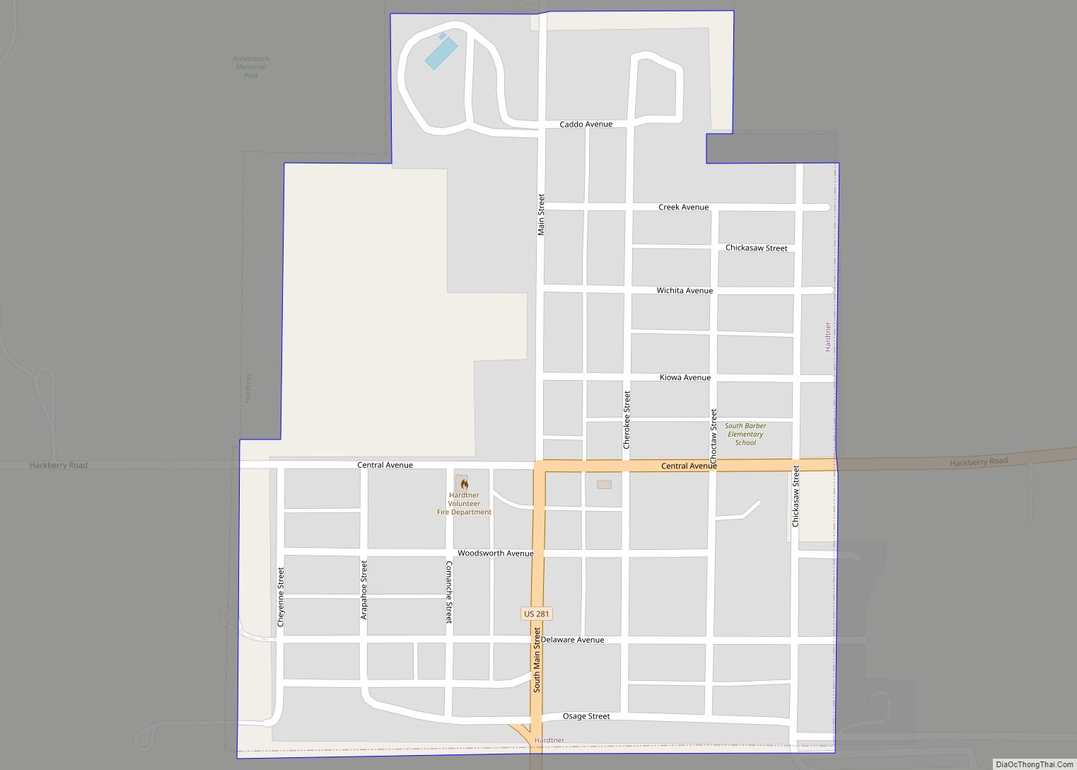
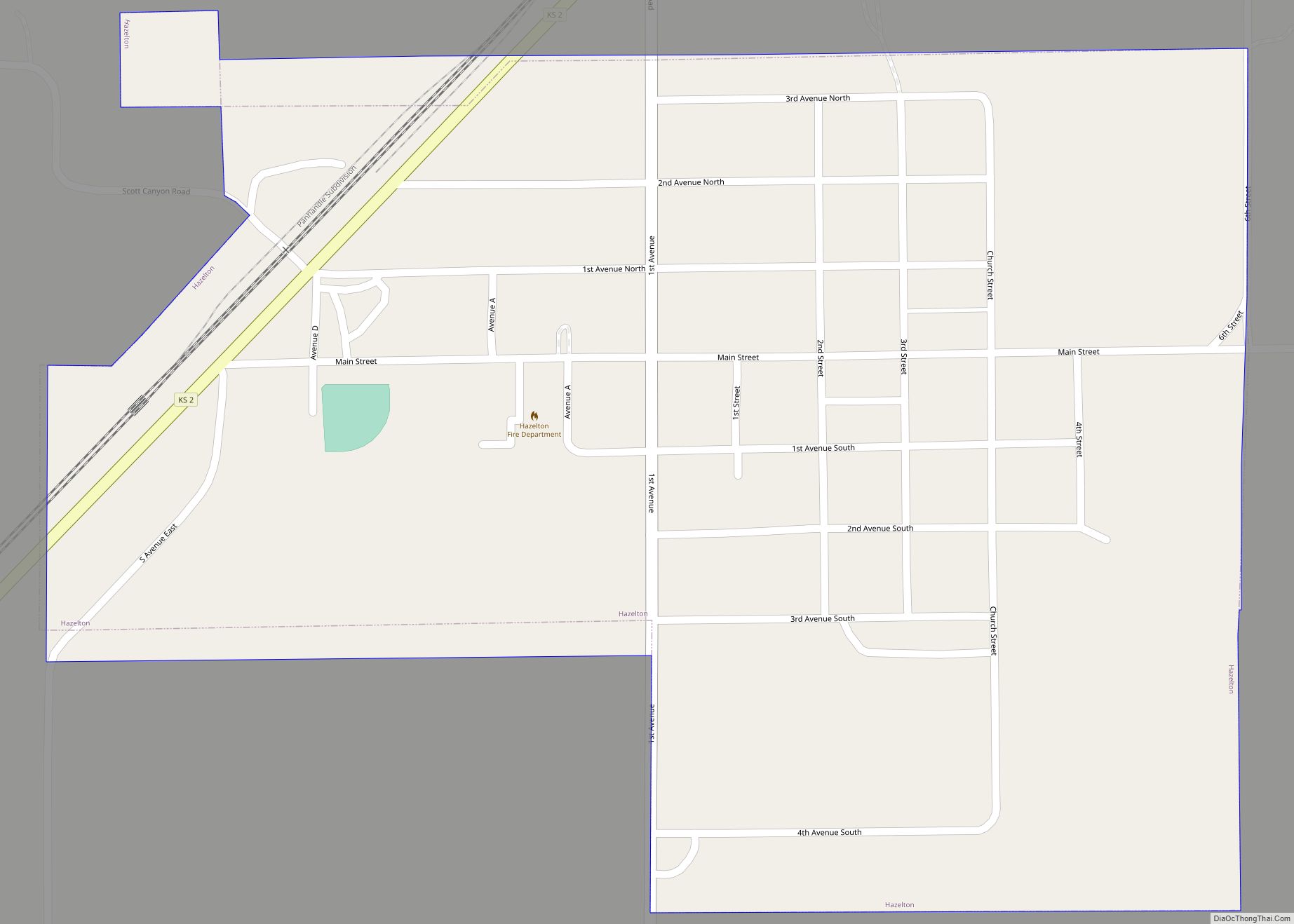
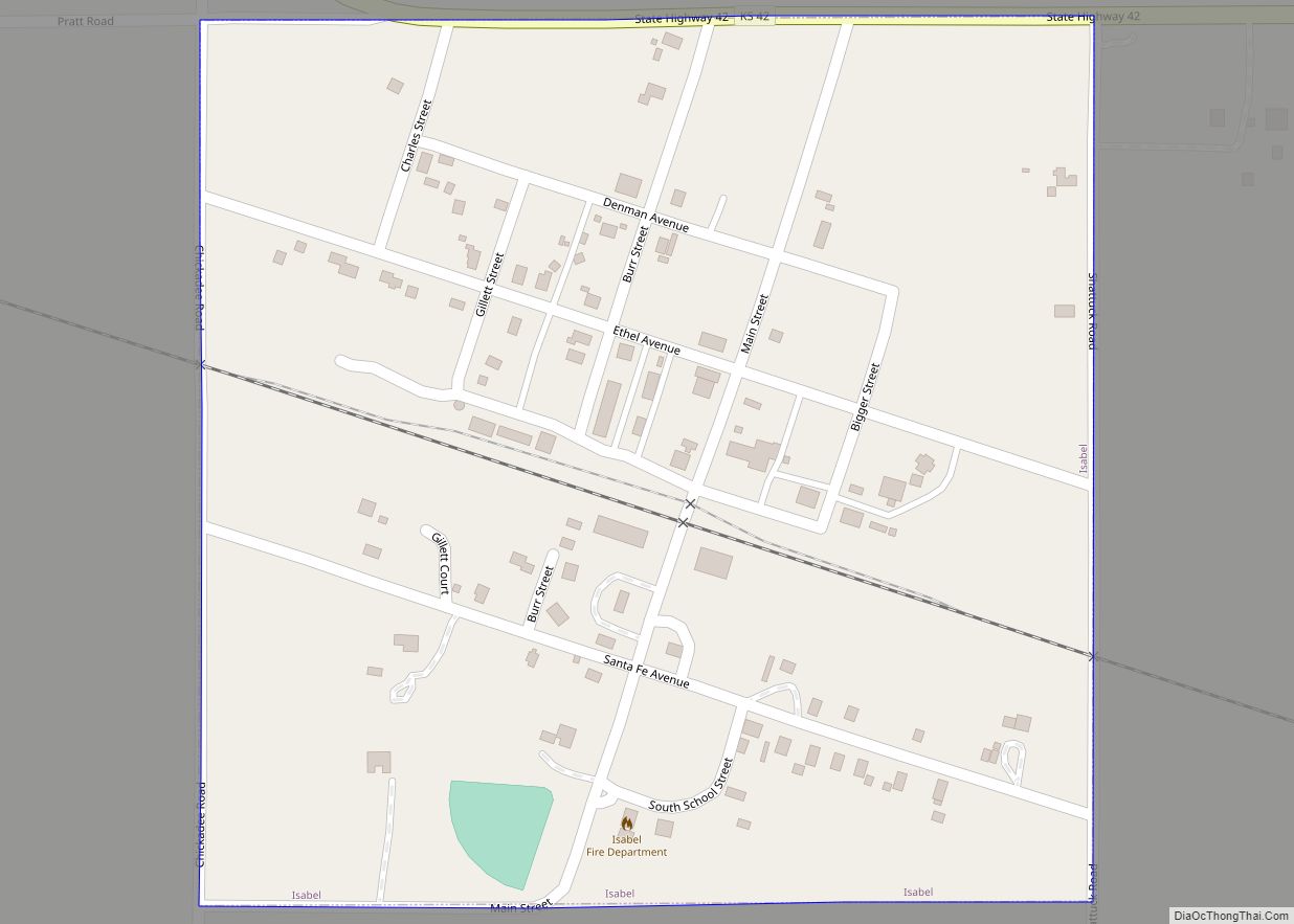
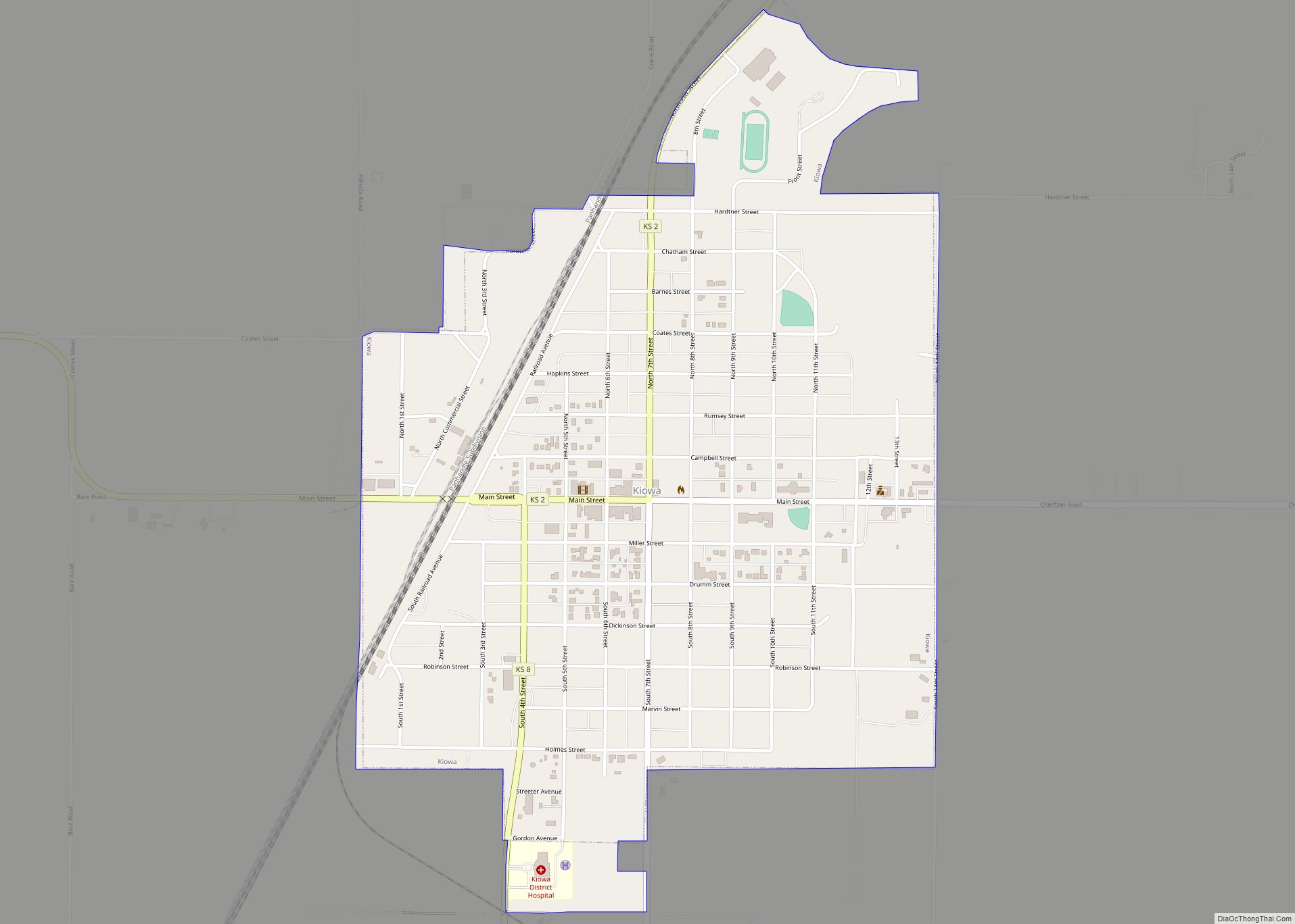
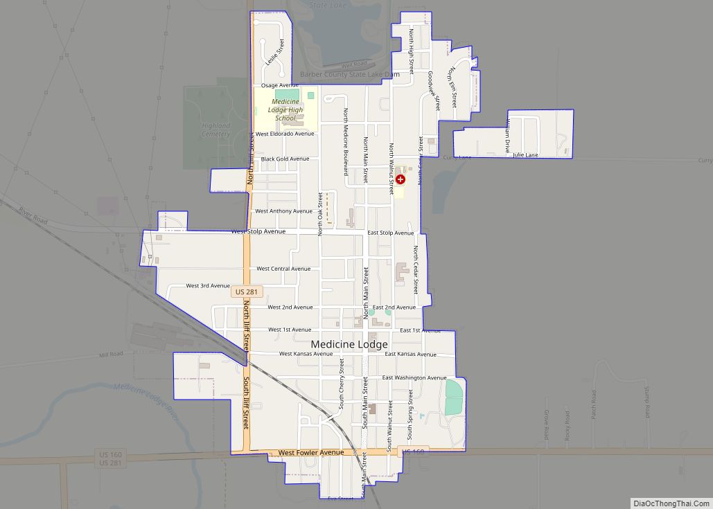
| Seat: | Medicine Lodge |
| Largest city: | Medicine Lodge |
| Total Area: | 1,136 sq mi (2,940 km²) |
| Land Area: | 1,134 sq mi (2,940 km²) |
| Total Population: | 4,228 |
| Population Density: | 3.7/sq mi (1.4/km²) |
| Time zone: | UTC−6 (Central) |
| Summer Time Zone (DST): | UTC−5 (CDT) |
| Website: | barber.ks.gov |
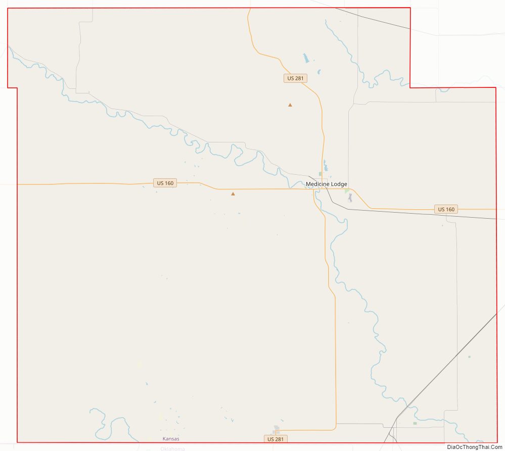
Barber County location map. Where is Barber County?
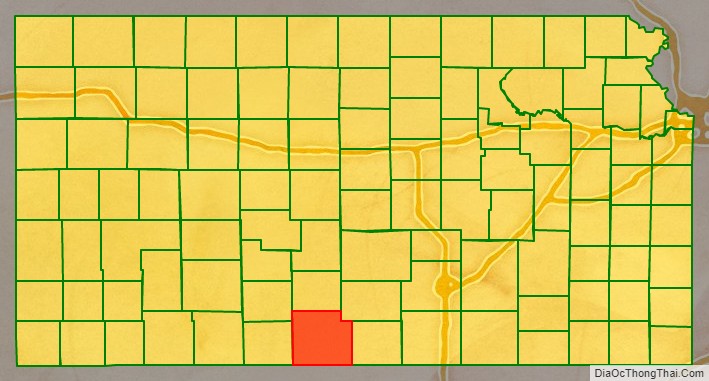
Barber County Road Map
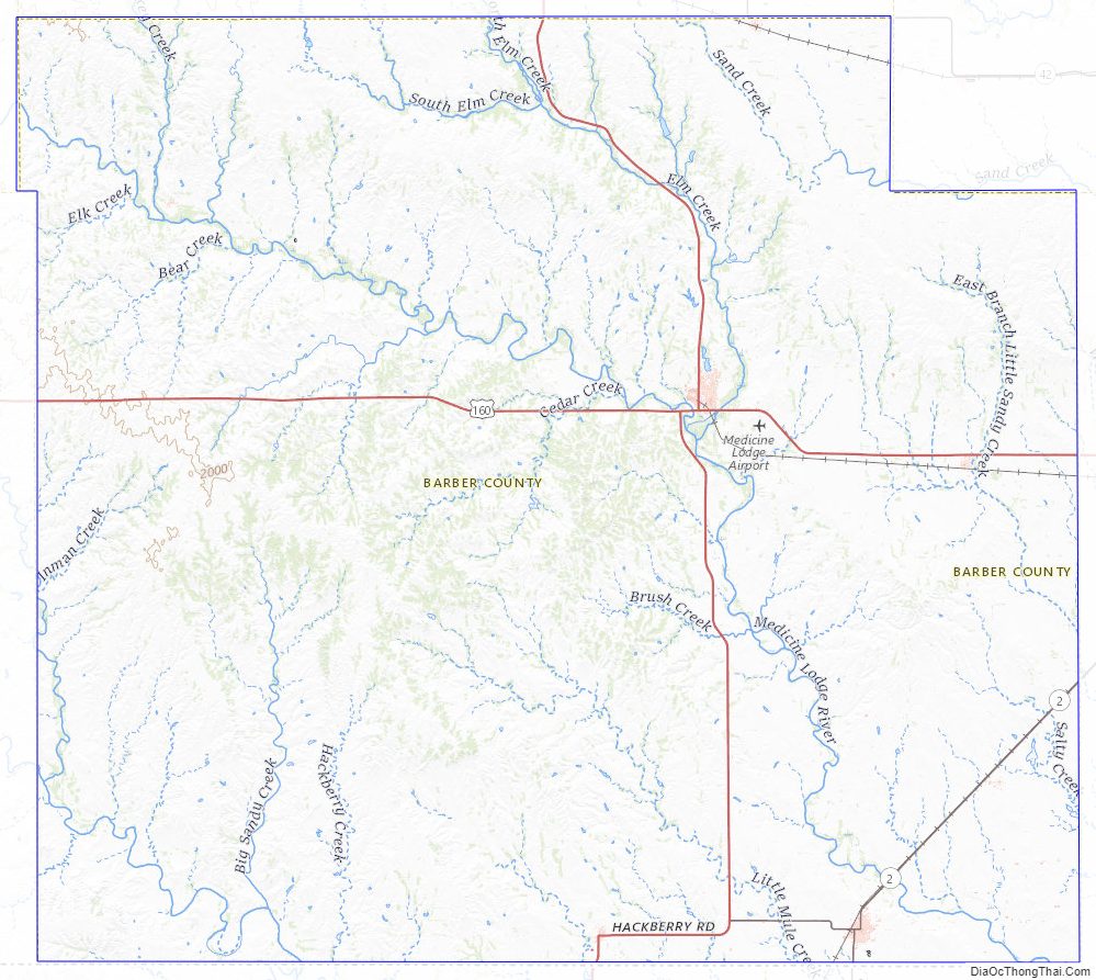
Geography
According to the U.S. Census Bureau, the county has a total area of 1,136 square miles (2,940 km), of which 1,134 square miles (2,940 km) is land and 2.1 square miles (5.4 km) (0.2%) is water.
Adjacent counties
- Pratt County (north)
- Kingman County (northeast)
- Harper County (east)
- Alfalfa County, Oklahoma (southeast)
- Woods County, Oklahoma (southwest)
- Comanche County (west)
- Kiowa County (northwest)
Major highways
Sources: National Atlas, U.S. Census Bureau
- U.S. Route 160
- U.S. Route 281
- Kansas Highway 2
Barber County Topographic Map
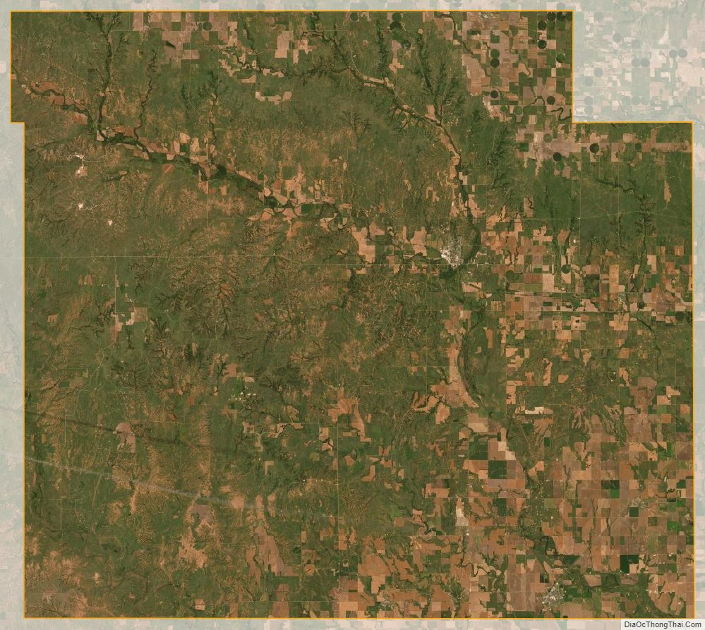
Barber County Satellite Map
Barber County Outline Map