Kansas (/ˈkænzəs/ (listen)) is a state in the Midwestern United States. Its capital is Topeka, and its largest city is Wichita. Kansas is a landlocked state bordered by Nebraska to the north; Missouri to the east; Oklahoma to the south; and Colorado to the west. Kansas is named after the Kansas River, which in turn was named after the Kansa Native Americans who lived along its banks. The tribe’s name (natively kką:ze) is often said to mean “people of the (south) wind” although this was probably not the term’s original meaning. For thousands of years, what is now Kansas was home to numerous and diverse Native American tribes. Tribes in the eastern part of the state generally lived in villages along the river valleys. Tribes in the western part of the state were semi-nomadic and hunted large herds of bison.
The first Euro-American settlement in Kansas occurred in 1827 at Fort Leavenworth. The pace of settlement accelerated in the 1850s, in the midst of political wars over the slavery debate. When it was officially opened to settlement by the U.S. government in 1854 with the Kansas–Nebraska Act, abolitionist Free-Staters from New England and pro-slavery settlers from neighboring Missouri rushed to the territory to determine whether Kansas would become a free state or a slave state. Thus, the area was a hotbed of violence and chaos in its early days as these forces collided, and was known as Bleeding Kansas. The abolitionists prevailed, and on January 29, 1861, Kansas entered the Union as a free state, hence the unofficial nickname “The Free State”.
By 2015, Kansas was one of the most productive agricultural states, producing high yields of wheat, corn, sorghum, and soybeans. Kansas, which has an area of 82,278 square miles (213,100 square kilometers) is the 15th-largest state by area and is the 36th most-populous of the 50 states, with a population of 2,940,865 according to the 2020 census. Residents of Kansas are called Kansans. Mount Sunflower is Kansas’s highest point at 4,039 feet (1,231 meters).
| Before statehood: | Kansas Territory |
|---|---|
| Admitted to the Union: | January 29, 1861 Kansas Day (34th) |
| Capital: | Topeka |
| Largest city: | Wichita |
| Largest metro and urban areas: | Kansas portion of Kansas City, MO-KS area |
| Elevation: | 2,000 ft (610 m) |
| Total Area: | 82,278 sq mi (213,100 km) |
| Area Rank: | 15th |
| Total Population: | 2,940,865 |
| Population Rank: | 36th |
| Population Density: | 34.9/sq mi (13.5/km) |
| Population Density Rank: | 40th |
| Median Household Income: | $56,422 |
| Income Rank: | 27th |
| Demonym(s): | Kansan Jayhawker (colloquial) |
| USPS abbreviation: | KS |
| ISO 3166 code: | US-KS |
| Website: | portal.kansas.gov |
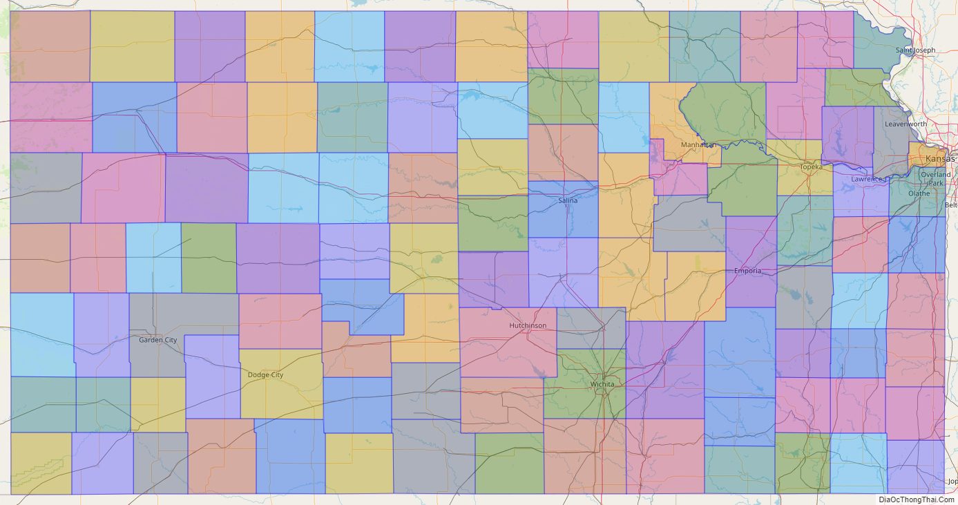
Online Interactive Map
Click on ![]() to view map in "full screen" mode.
to view map in "full screen" mode.
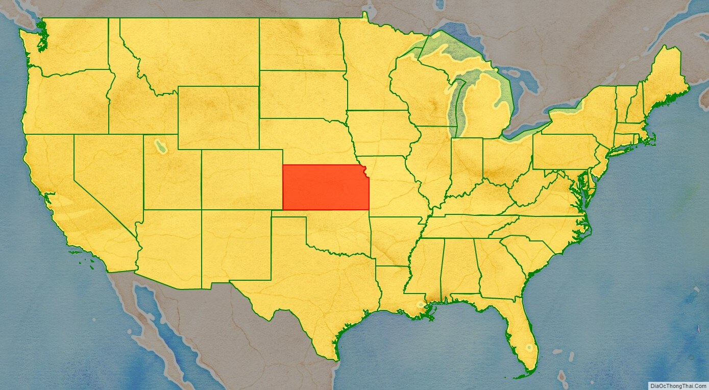
Kansas location map. Where is Kansas state?
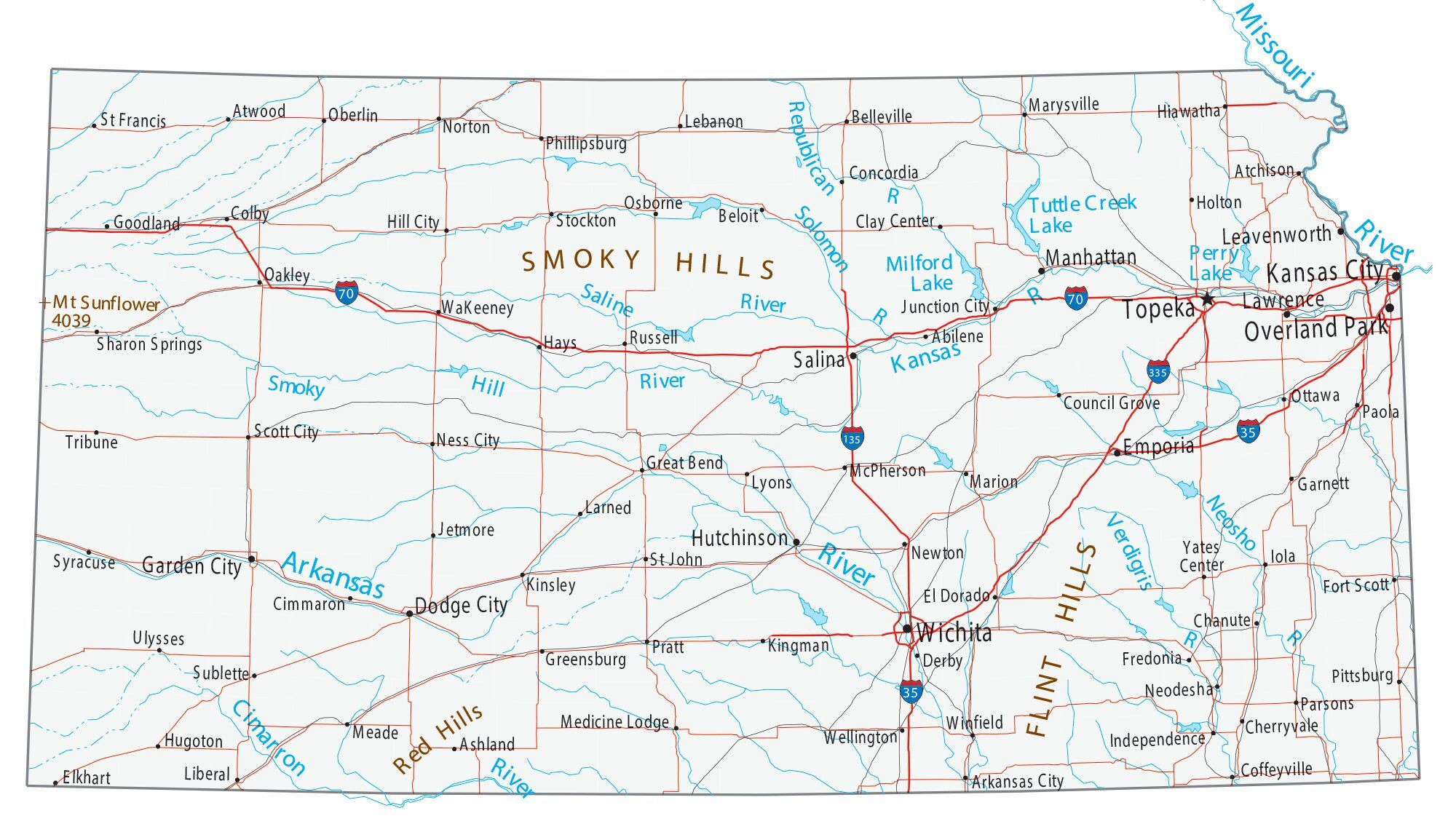
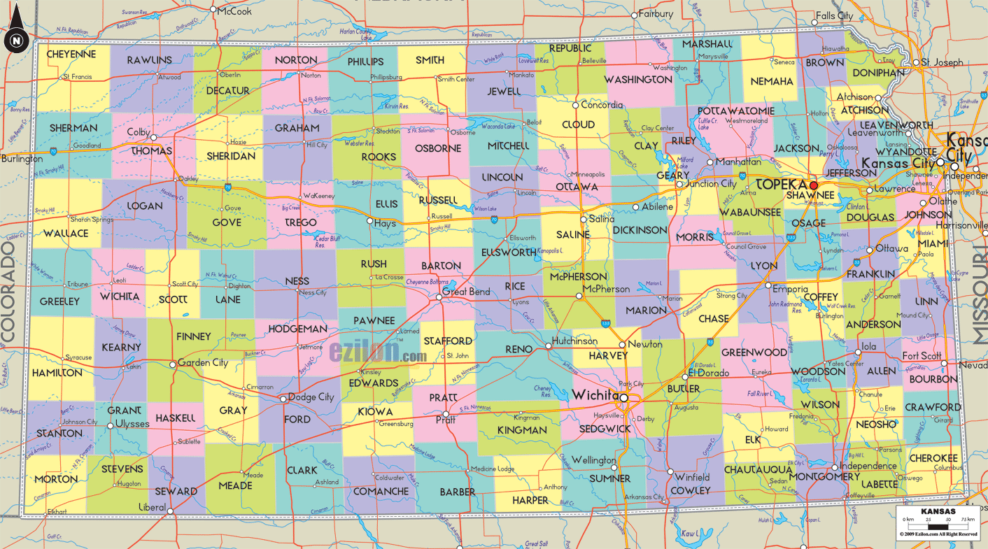
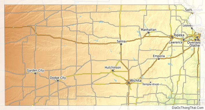
Kansas Road Map
Kansas Map – Roads & Cities
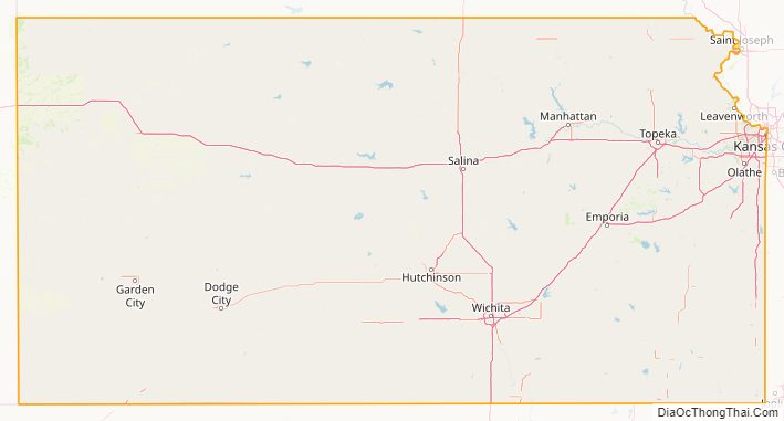
Kansas Street Map
History
Before European colonization, Kansas was occupied by the Caddoan Wichita and later the Siouan Kaw people. The first European to set foot in present-day Kansas was the Spanish conquistador Francisco Vázquez de Coronado, who explored the area in 1541.
Between 1763 and 1803 the territory of Kansas was integrated into Spanish Louisiana. The governor Luis de Unzaga ‘le Conciliateur’, during that period, promoted expeditions and good relations with the Amerindians, among the explorers were Antoine de Marigny and others who continued trading across the Kansas River, especially at its confluence with the Missouri River, tributaries of the Mississippi River.
In 1803, most of modern Kansas was acquired by the United States as part of the Louisiana Purchase. Southwest Kansas, however, was still a part of Spain, Mexico, and the Republic of Texas until the conclusion of the Mexican–American War in 1848, when these lands were ceded to the United States. From 1812 to 1821, Kansas was part of the Missouri Territory. The Santa Fe Trail traversed Kansas from 1821 to 1880, transporting manufactured goods from Missouri and silver and furs from Santa Fe, New Mexico. Wagon ruts from the trail are still visible in the prairie today.
In 1827, Fort Leavenworth became the first permanent settlement of white Americans in the future state. The Kansas–Nebraska Act became law on May 30, 1854, establishing Nebraska Territory and Kansas Territory, and opening the area to broader settlement by whites. Kansas Territory stretched all the way to the Continental Divide and included the sites of present-day Denver, Colorado Springs, and Pueblo.
The first non-military settlement of Euro-Americans in Kansas Territory consisted of abolitionists from Massachusetts and other Free-Staters who founded the town of Lawrence and attempted to stop the spread of slavery from neighboring Missouri.
Missouri and Arkansas continually sent settlers into Kansas Territory along its eastern border to sway votes in favor of slavery prior to Kansas statehood elections. Directly presaging the American Civil War these forces collided, entering into skirmishes and guerrilla conflicts that earned the territory the nickname Bleeding Kansas. These included John Brown’s Pottawatomie massacre of 1856.
Kansas was admitted to the Union as a free state on January 29, 1861, making it the 34th state to join the United States. By that time, the violence in Kansas had largely subsided, but during the Civil War, on August 21, 1863, William Quantrill led several hundred of his supporters on a raid into Lawrence, destroying much of the city and killing nearly 200 people. He was roundly condemned by both the conventional Confederate military and the partisan rangers commissioned by the Missouri legislature. His application to that body for a commission was flatly rejected due to his pre-war criminal record.
After the Civil War, many veterans constructed homesteads in Kansas. Many African Americans also looked to Kansas as the land of “John Brown” and, led by freedmen like Benjamin “Pap” Singleton, began establishing black colonies in the state. Leaving southern states in the late 1870s because of increasing discrimination, they became known as Exodusters.
At the same time, the Chisholm Trail was opened and the Wild West-era commenced in Kansas. Wild Bill Hickok was a deputy marshal at Fort Riley and a marshal at Hays and Abilene. Dodge City was another wild cowboy town, and both Bat Masterson and Wyatt Earp worked as lawmen in the town. In one year alone, eight million head of cattle from Texas boarded trains in Dodge City bound for the East, earning Dodge the nickname “Queen of the Cowtowns”.
In response to demands of Methodists and other evangelical Protestants, in 1881 Kansas became the first U.S. state to adopt a constitutional amendment prohibiting all alcoholic beverages, which was repealed in 1948.
In 1922, suffragist Ella Uphay Mowry became the first female gubernatorial candidate in the state when she ran as “Mrs. W.D. Mowry.” She later stated that, “Someone had to be the pioneer. I firmly believe that some day a woman will sit in the governor’s chair in Kansas.”
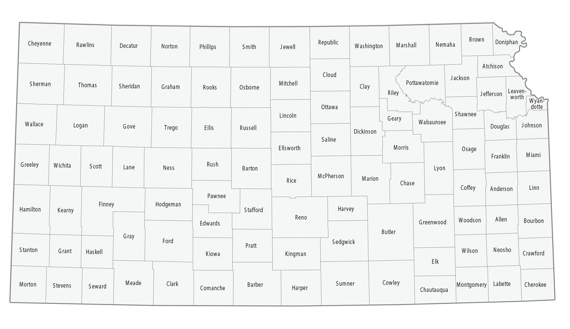
Kansas State Map – Places and Landmarks
Kansas Political Map
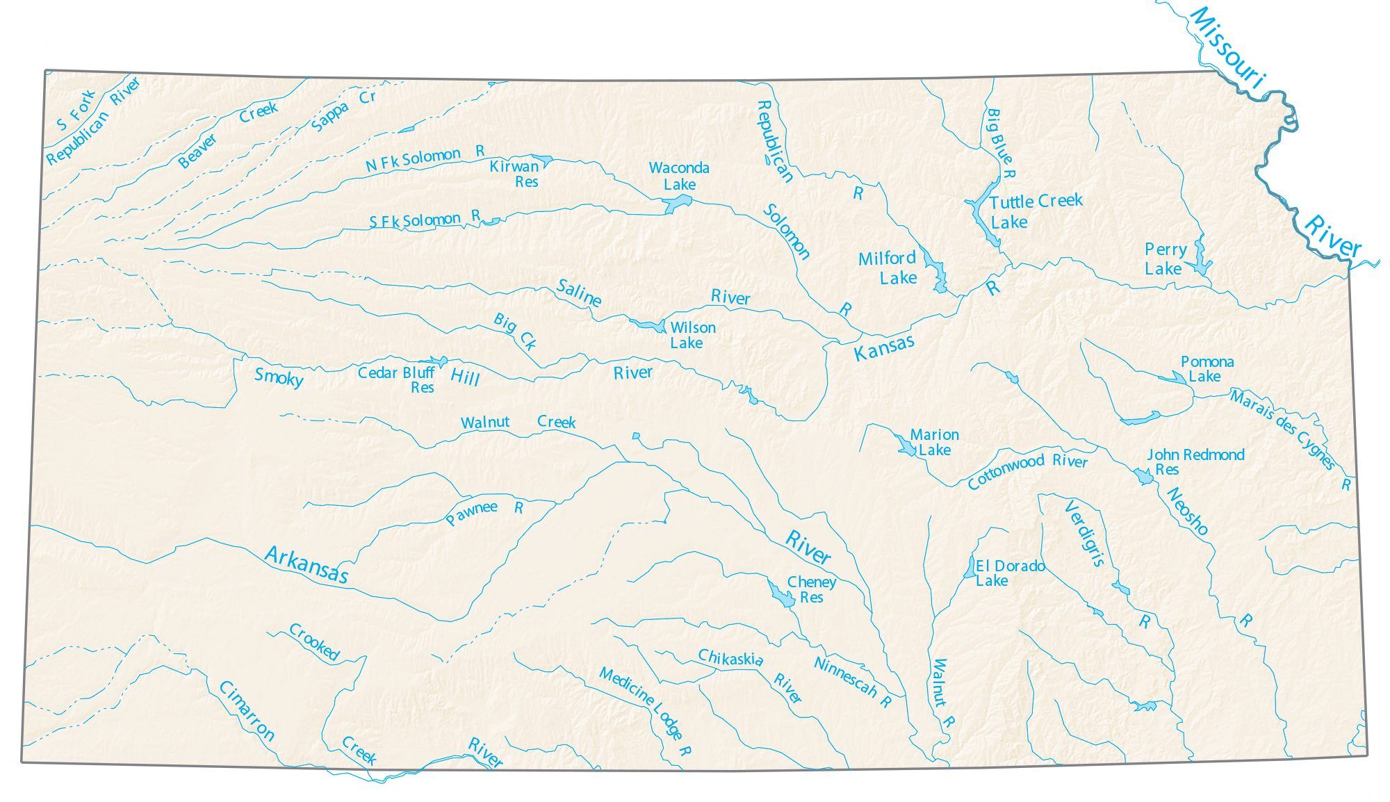
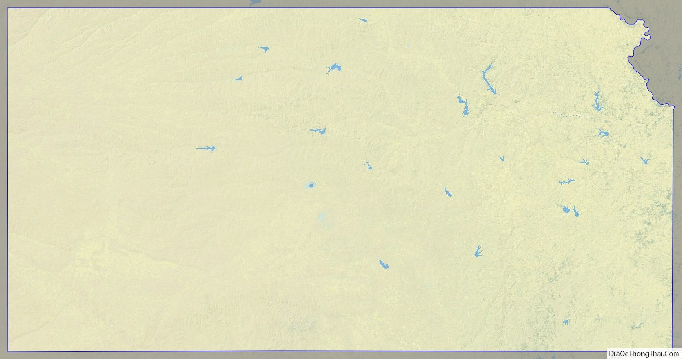
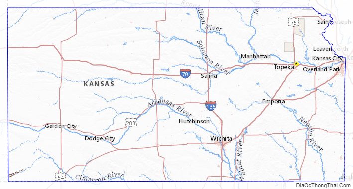
Kansas Lakes and Rivers Map
Geography
Kansas is bordered by Nebraska to the north; Missouri to the east; Oklahoma to the south; and Colorado to the west. The state is divided into 105 counties with 628 cities, with its largest county by area being Butler County. Kansas is located equidistant from the Pacific and Atlantic oceans. The geographic center of the 48 contiguous states is in Smith County near Lebanon. Until 1989, the Meades Ranch Triangulation Station in Osborne County was the geodetic center of North America: the central reference point for all maps of North America. The geographic center of Kansas is in Barton County.
Geology
Kansas is underlain by a sequence of horizontal to gently westward dipping sedimentary rocks. A sequence of Mississippian, Pennsylvanian and Permian rocks outcrop in the eastern and southern part of the state. The state’s western half has exposures of Cretaceous through Tertiary sediments, the latter derived from the erosion of the uplifted Rocky Mountains to the west. These are underlain by older Paleozoic and Mesozoic sediments which correlate well with the outcrops to the east. The state’s northeastern corner was subjected to glaciation in the Pleistocene and is covered by glacial drift and loess.
Topography
The western two-thirds of the state, lying in the great central plain of the United States, has a generally flat or undulating surface, while the eastern third has many hills and forests. The land gradually rises from east to west; its altitude ranges from 684 ft (208 m) along the Verdigris River at Coffeyville in Montgomery County, to 4,039 ft (1,231 m) at Mount Sunflower, 0.5 miles (0.80 kilometers) from the Colorado border, in Wallace County. It is a common misconception that Kansas is the flattest state in the nation—in 2003, a tongue-in-cheek study famously declared the state “flatter than a pancake”. In fact, Kansas has a maximum topographic relief of 3,360 ft (1,020 m), making it the 23rd flattest U.S. state measured by maximum relief.
Rivers
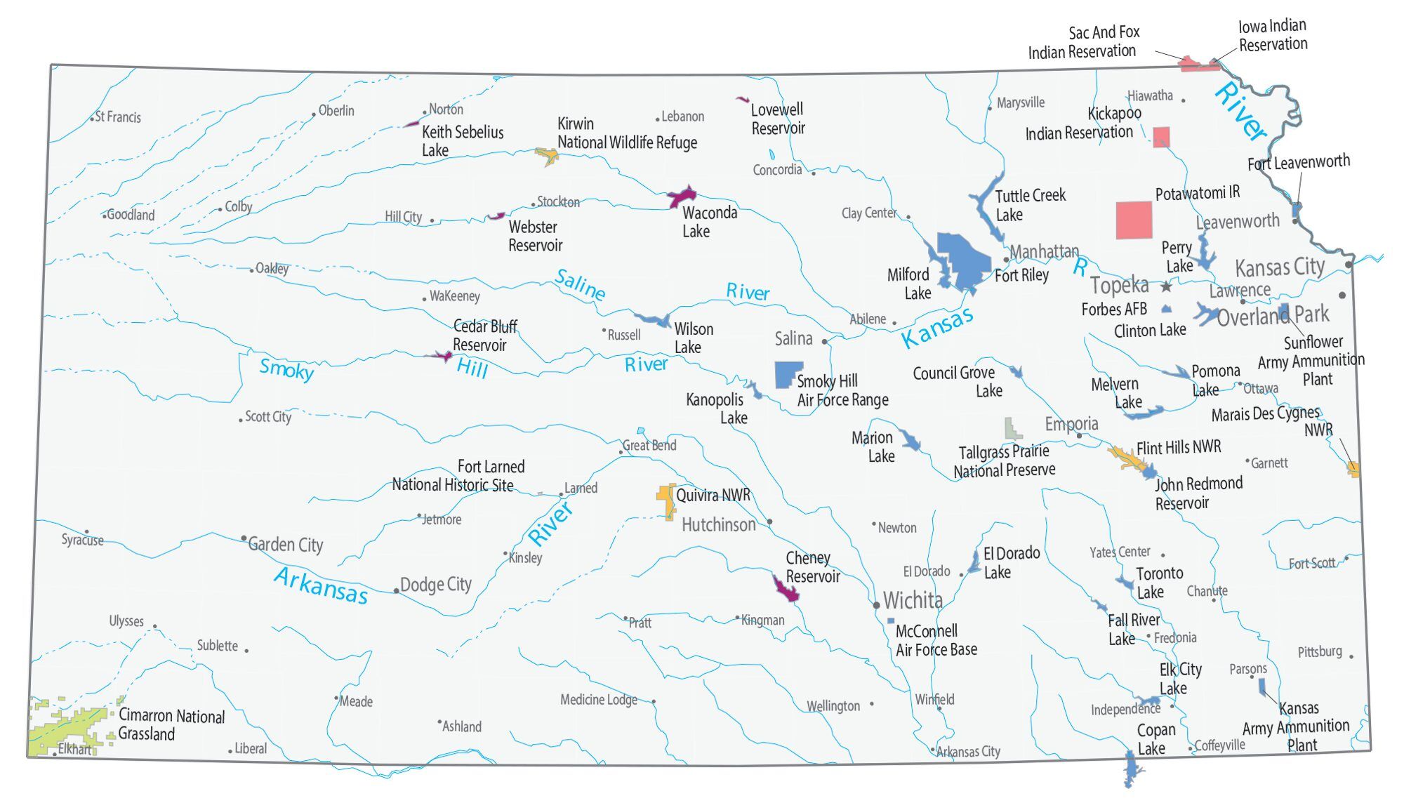
Nearly 75 mi (121 km) of the state’s northeastern boundary is defined by the Missouri River. The Kansas River (locally known as the Kaw), formed by the junction of the Smoky Hill and Republican rivers at appropriately-named Junction City, joins the Missouri River at Kansas City, after a course of 170 mi (270 km) across the northeastern part of the state.
The Arkansas River (pronunciation varies), rising in Colorado, flows with a bending course for nearly 500 mi (800 km) across the western and southern parts of the state. With its tributaries, (the Little Arkansas, Ninnescah, Walnut, Cow Creek, Cimarron, Verdigris, and the Neosho), it forms the southern drainage system of the state.
Kansas’s other rivers are the Saline and Solomon Rivers, tributaries of the Smoky Hill River; the Big Blue, Delaware, and Wakarusa, which flow into the Kansas River; and the Marais des Cygnes, a tributary of the Missouri River. Spring River is located between Riverton and Baxter Springs.
National parks and historic sites
Areas under the protection of the National Park Service include:
- Brown v. Board of Education National Historic Site in Topeka
- California National Historic Trail
- Fort Larned National Historic Site in Larned
- Fort Scott National Historic Site
- Lewis and Clark National Historic Trail
- Nicodemus National Historic Site at Nicodemus
- Oregon National Historic Trail
- Pony Express National Historic Trail
- Santa Fe National Historic Trail
- Tallgrass Prairie National Preserve near Strong City
Flora and fauna
In Kansas, there are currently 238 species of rare animals and 400 rare plants. Among those include: Boechera laevigata, Virginia rail, Cleft Ledge, Royal Fern, Turkey-tangle, Bobolink, Cave salamander, Peregrine falcon, and Black-footed ferret. Common animal species and grasses include: Crows, Deer, Lesser prairie chicken, Mice, Moles, Opossum, Prairie dogs, Raccoon, Tripsacum dactyloides, Prairie Dropseed, Indian Grass, Little Bluestem, Switch grass, Northern Sea Oats, Tussock Sedge, Sideoats grama, and Big Bluestem.
Climate
In the Köppen climate classification, Kansas has three climates: humid continental, semi-arid steppe, and humid subtropical. The eastern two-thirds of the state (especially the northeastern portion) has a humid continental climate, with cool to cold winters and hot, often humid summers. Most of the precipitation falls during both the summer and the spring.
The western third of the state—from roughly the U.S. Route 83 corridor westward—has a semi-arid steppe climate. Summers are hot, often very hot, and generally less humid. Winters are highly changeable between warm and very cold. The western region receives an average of about 16 inches (410 millimeters) of precipitation per year. Chinook winds in the winter can warm western Kansas all the way into the 80 degrees Fahrenheit (27 degrees Celsius) range.
The south-central and southeastern portions of the state, including the Wichita area, have a humid subtropical climate with hot and humid summers, milder winters, and more precipitation than elsewhere in Kansas. Some features of all three climates can be found in most of the state, with droughts and changeable weather between dry and humid not uncommon, and both warm and cold spells in the winter.
Temperatures in areas between U.S. Routes 83 and 81, as well as the southwestern portion of the state along and south of U.S. 50, reach 90 °F (32 °C) or above on most days of June, July, and August. High humidity added to the high temperatures sends the heat index into life-threatening territory, especially in Wichita, Hutchinson, Salina, Russell, Hays, and Great Bend. Temperatures are often higher in Dodge City, Garden City, and Liberal, but the heat index in those three cities is usually lower than the actual air temperature.
Although temperatures of 100 °F (38 °C) or higher are not as common in areas east of U.S. 81, higher humidity and the urban heat island effect lead most summer days to heat indices between 107 °F (42 °C) and 114 °F (46 °C) in Topeka, Lawrence, and the Kansas City metropolitan area. Also, combined with humidity between 85 and 95 percent, dangerous heat indices can be experienced at every hour of the day.
Precipitation ranges from about 47 inches (1,200 mm) annually in the state’s southeast corner to about 16 inches (410 mm) in the southwest. Snowfall ranges from around 5 inches (130 mm) in the fringes of the south, to 35 inches (890 mm) in the far northwest. Frost-free days range from more than 200 days in the south, to 130 days in the northwest. Thus, Kansas is the country’s ninth or tenth sunniest state, depending on the source. Western Kansas is as sunny as parts of California and Arizona.
Kansas is prone to severe weather, especially in the spring and the early-summer. Despite the frequent sunshine throughout much of the state, due to its location at a climatic boundary prone to intrusions of multiple air masses, the state is vulnerable to strong and severe thunderstorms. Some of these storms become supercell thunderstorms; these can produce some tornadoes, occasionally those of EF3 strength or higher. Kansas averages more than 50 tornadoes annually. Severe thunderstorms sometimes drop some very large hail over Kansas as well. Furthermore, these storms can even bring in flash flooding and damaging straight line winds.
According to NOAA, the all-time highest temperature recorded in Kansas is (121 °F or 49.4 °C) on July 24, 1936, near Alton in Osborne County, and the all-time low is −40 °F (−40 °C) on February 13, 1905, near Lebanon in Smith County. Alton and Lebanon are approximately 50 miles (80 km) apart.
Kansas’s record high of 121 °F (49.4 °C) ties with North Dakota for the fifth-highest record high in an American state, behind California (134 °F or 56.7 °C), Arizona (128 °F or 53.3 °C), Nevada (125 °F or 51.7 °C), and New Mexico (122 °F or 50 °C).
Kansas Physical Map

Kansas Topographic Map
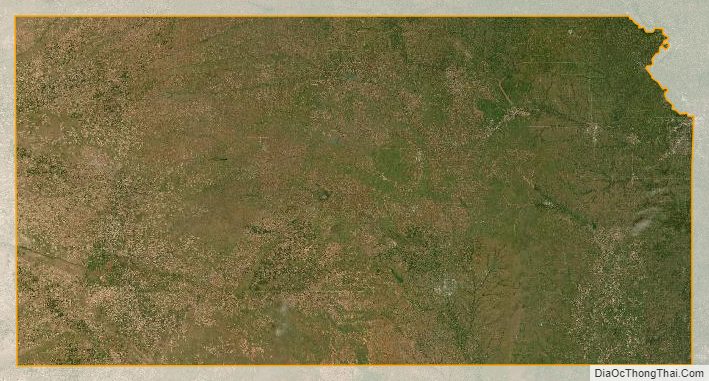
Kansas Satellite Map
Others printable maps
Kansas Outline Map

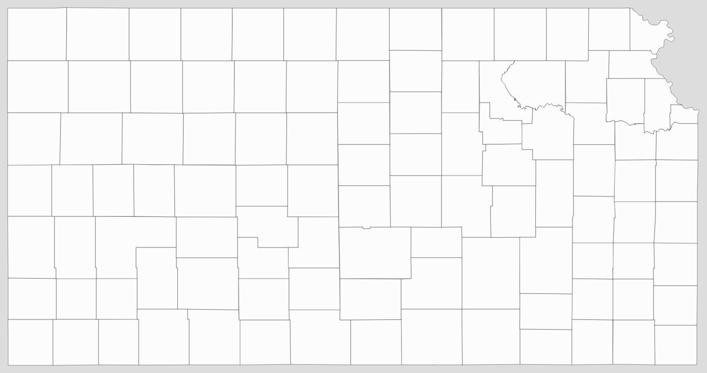
Blank Kansas County Map
See also
Map of Kansas State and its subdivision:- Allen
- Anderson
- Atchison
- Barber
- Barton
- Bourbon
- Brown
- Butler
- Chase
- Chautauqua
- Cherokee
- Cheyenne
- Clark
- Clay
- Cloud
- Coffey
- Comanche
- Cowley
- Crawford
- Decatur
- Dickinson
- Doniphan
- Douglas
- Edwards
- Elk
- Ellis
- Ellsworth
- Finney
- Ford
- Franklin
- Geary
- Gove
- Graham
- Grant
- Gray
- Greeley
- Greenwood
- Hamilton
- Harper
- Harvey
- Haskell
- Hodgeman
- Jackson
- Jefferson
- Jewell
- Johnson
- Kearny
- Kingman
- Kiowa
- Labette
- Lane
- Leavenworth
- Lincoln
- Linn
- Logan
- Lyon
- Marion
- Marshall
- McPherson
- Meade
- Miami
- Mitchell
- Montgomery
- Morris
- Morton
- Nemaha
- Neosho
- Ness
- Norton
- Osage
- Osborne
- Ottawa
- Pawnee
- Phillips
- Pottawatomie
- Pratt
- Rawlins
- Reno
- Republic
- Rice
- Riley
- Rooks
- Rush
- Russell
- Saline
- Scott
- Sedgwick
- Seward
- Shawnee
- Sheridan
- Sherman
- Smith
- Stafford
- Stanton
- Stevens
- Sumner
- Thomas
- Trego
- Wabaunsee
- Wallace
- Washington
- Wichita
- Wilson
- Woodson
- Wyandotte
- Alabama
- Alaska
- Arizona
- Arkansas
- California
- Colorado
- Connecticut
- Delaware
- District of Columbia
- Florida
- Georgia
- Hawaii
- Idaho
- Illinois
- Indiana
- Iowa
- Kansas
- Kentucky
- Louisiana
- Maine
- Maryland
- Massachusetts
- Michigan
- Minnesota
- Mississippi
- Missouri
- Montana
- Nebraska
- Nevada
- New Hampshire
- New Jersey
- New Mexico
- New York
- North Carolina
- North Dakota
- Ohio
- Oklahoma
- Oregon
- Pennsylvania
- Rhode Island
- South Carolina
- South Dakota
- Tennessee
- Texas
- Utah
- Vermont
- Virginia
- Washington
- West Virginia
- Wisconsin
- Wyoming


