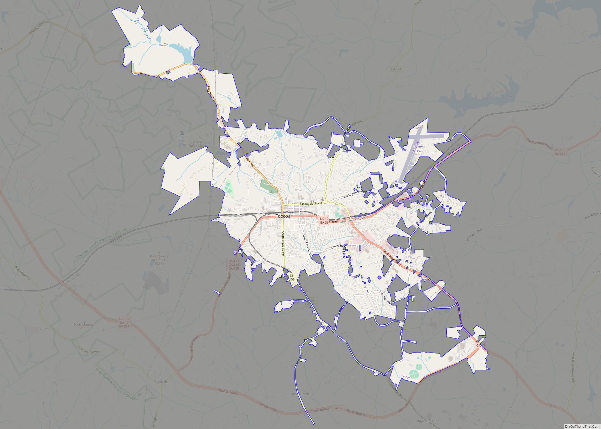
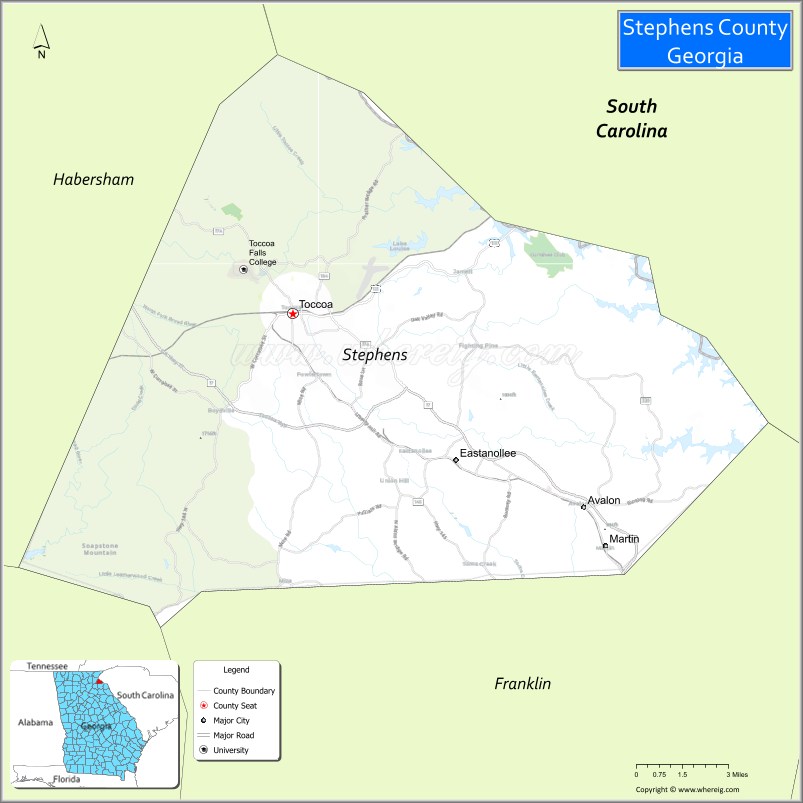
Stephens County is a county in the northeastern part of the U.S. state of Georgia, in the Piedmont and near the foothills of the Blue Ridge Mountains. It is bounded by the Tugaloo River and Lake Hartwell on the east. As of the 2020 census, the population was 26,784. The county seat is Toccoa.
Stephens County comprises the Toccoa, Georgia Micropolitan Statistical Area.
| Name: | Stephens County |
|---|---|
| FIPS code: | 13-257 |
| State: | Georgia |
| Founded: | 1905 |
| Named for: | Alexander Stephens |
| Seat: | Toccoa |
| Largest city: | Toccoa |
| Total Area: | 184 sq mi (480 km²) |
| Land Area: | 179 sq mi (460 km²) |
| Total Population: | 26,784 |
| Population Density: | 150/sq mi (60/km²) |
| Time zone: | UTC−5 (Eastern) |
| Summer Time Zone (DST): | UTC−4 (EDT) |
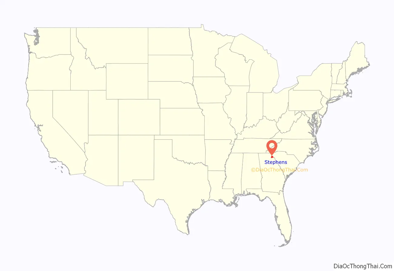
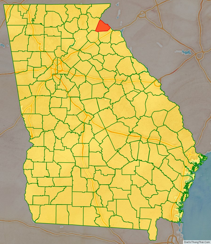
Stephens County location map. Where is Stephens County?
History
The county was long inhabited by indigenous peoples. People of the South Appalachian Mississippian culture developed a village and a platform mound on Tugaloo Island about 800 CE. The village and mound, both known as Tugaloo, were later occupied by other peoples until about 1700. Numerous other villages also developed along the river and its tributaries. Descendants of the Mississippians have been identified as the proto-Creek (Muscogee people). Allied with them in historic times were the Yuchi, who occupied the village known as Tugaloo, where they were replaced by the Cherokee.
While Cherokee began to move into this area from Tennessee under pressure by European Americans during and after the Revolutionary War, the Muscogee Creek continued to dominate the southern part of the county until they ceded their land to the United States in a treaty of 1794.
United States era
It was not until after the American Revolutionary War that European Americans began to settle here. The first were veterans who had been given land grants in lieu of pay; they migrated up the Savannah River and the Tugaloo River after the war.
The county was created on August 18, 1905, from parts of Franklin and Habersham counties, and was named for Alexander Stephens, U.S. representative, Vice President of the Confederate States of America, and fifty-third governor of Georgia.
Toccoa was designated as the county seat and was the site of the county’s two courthouses. The first courthouse was built in 1907, and is now listed on the National Register of Historic Places. The second was built in 2000. The former courthouse is now used for county offices.
Despite the Great Depression, more industry developed in the county in the 1930s. J&P Coats Company purchased the Capps Cotton Mill in 1937 and operated it for nearly 70 years, before textile manufacturing jobs moved offshore to cheaper labor markets. In 1938 industrialist R.G. LeTourneau opened a manufacturing plant for earth-moving equipment. Later that year the Toccoa Airport was constructed. During World War II, the LeTourneau plant produced equipment for use by the military, employing 2000 people in this effort. In addition the US Army developed Camp Toccoa here, for training paratroopers.
Beginning in 1950, planning began for what was called the Hartwell Project, which envisioned dams on the Savanna and tributary rivers for flood control and hydropower generation. In addition, a large reservoir would be created, known as Lake Hartwell.
Prior to the flooding of this area by Lake Hartwell, produced behind the Hartwell Dam on the Savannah River, archeological studies were conducted in 1958 of known prehistoric and historic sites in the area. Among them, the Tugaloo Mound and village site by a team from the University of Georgia. The mound is still visible above the water, and a historic marker on Highway 123 at the Georgia-South Carolina border helps mark this spot.
On November 6, 1977, the earthen Kelly Barnes Dam collapsed after a period of heavy rainfall. The resulting flood swept through the campus of Toccoa Falls College, killing 39 people and causing $2.8 million in damage.
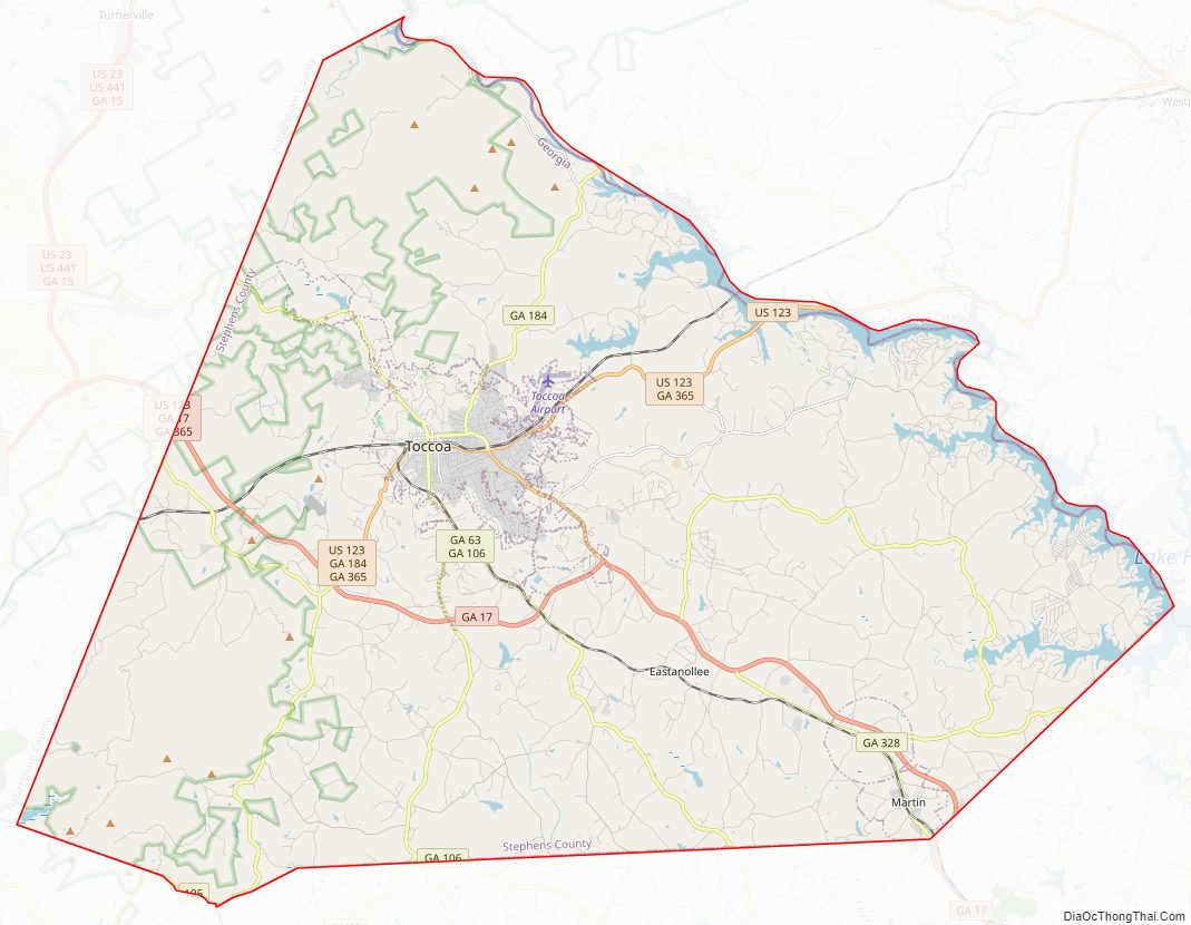
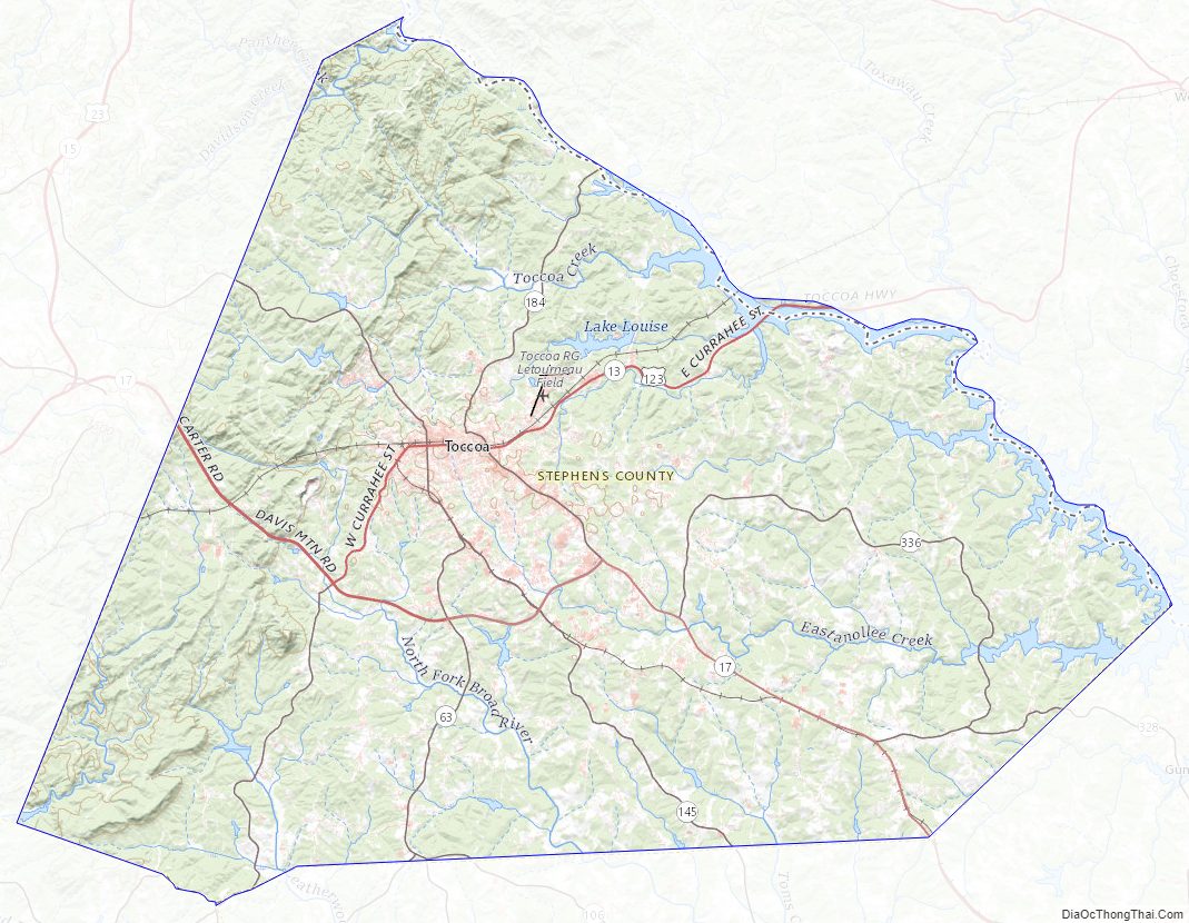
Stephens County Road Map
Geography
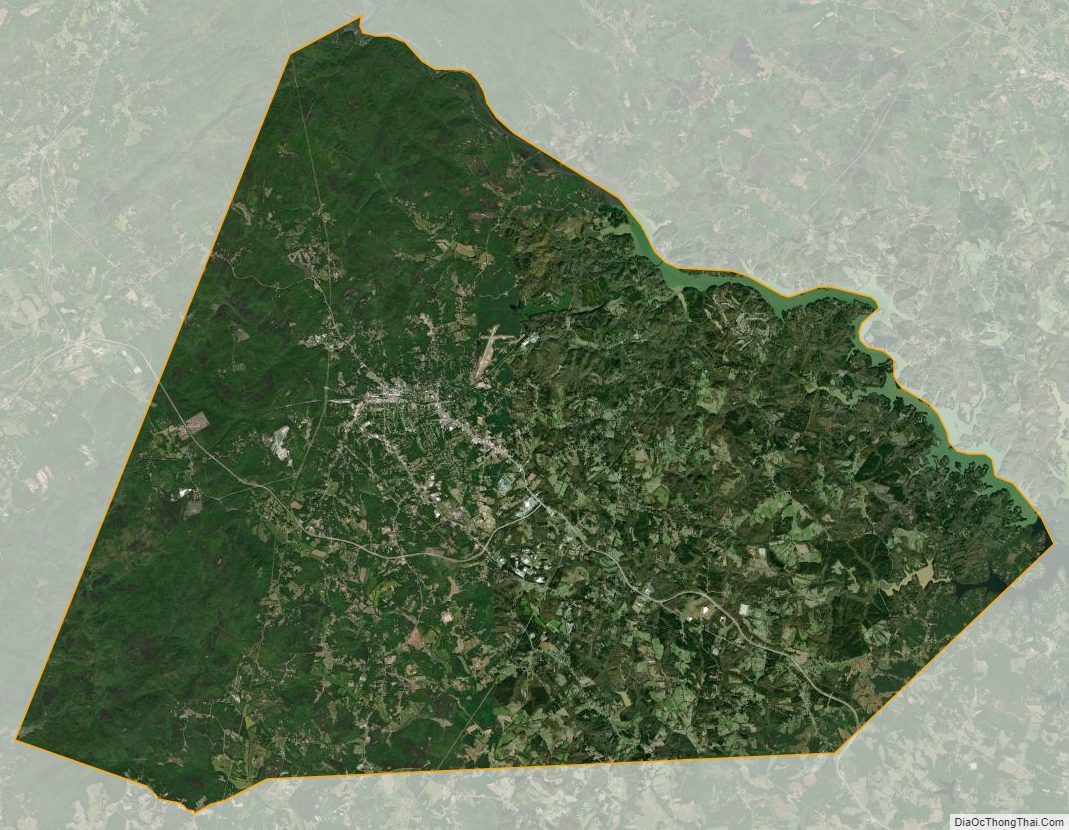
According to the U.S. Census Bureau, the county has a total area of 184 square miles (480 km), of which 179 square miles (460 km) is land and 5.1 square miles (13 km) (2.8%) is water. The county is located mainly within the upper Piedmont region of the state, with western portions of the county having the highest elevations and located in the foothills of the Blue Ridge Mountains.
The northern half of Stephens County is located in the Tugaloo River sub-basin of the Savannah River basin. Lake Hartwell was created as a reservoir on the river after the construction of Hartwell Dam on the Savannah, completed in 1962. The southern half of the county is located in the Broad River sub-basin of the same Savannah River basin.
Major highways
- U.S. Route 123
- State Route 17
- State Route 17 Alternate
- State Route 63
- State Route 105
- State Route 106
- State Route 145
- State Route 184
- State Route 328
- State Route 365
Adjacent counties
- Oconee County, South Carolina (north)
- Franklin County (south)
- Banks County (southwest)
- Habersham County (west)
National protected area
- Chattahoochee National Forest (part)
Stephens County Topographic Map
Stephens County Satellite Map
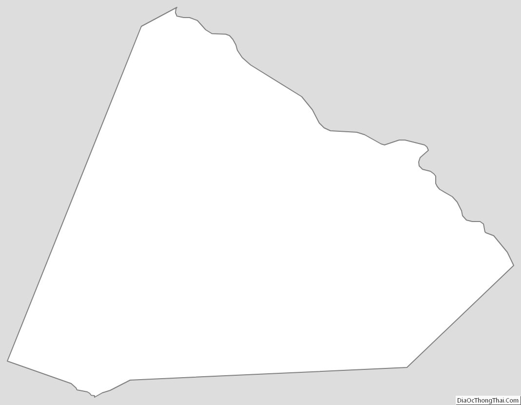
Stephens County Outline Map