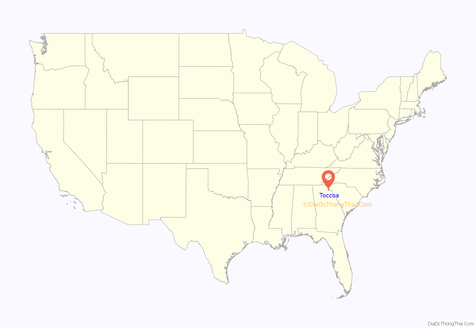
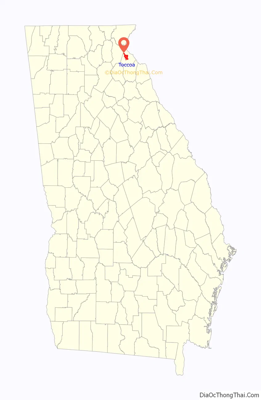
Toccoa is a city in far Northeast Georgia near the border with South Carolina. It is the county seat of Stephens County, Georgia, United States, located about 50 miles (80 km) from Athens and about 90 miles (140 km) northeast of Atlanta. The population was 9,133 as of the 2020 census.
| Name: | Toccoa city |
|---|---|
| LSAD Code: | 25 |
| LSAD Description: | city (suffix) |
| State: | Georgia |
| County: | Stephens County |
| Elevation: | 994 ft (303 m) |
| Total Area: | 9.23 sq mi (23.90 km²) |
| Land Area: | 9.16 sq mi (23.72 km²) |
| Water Area: | 0.07 sq mi (0.17 km²) |
| Total Population: | 9,133 |
| Population Density: | 997.05/sq mi (384.97/km²) |
| ZIP code: | 30577 |
| Area code: | 706 |
| FIPS code: | 1376756 |
| GNISfeature ID: | 0333240 |
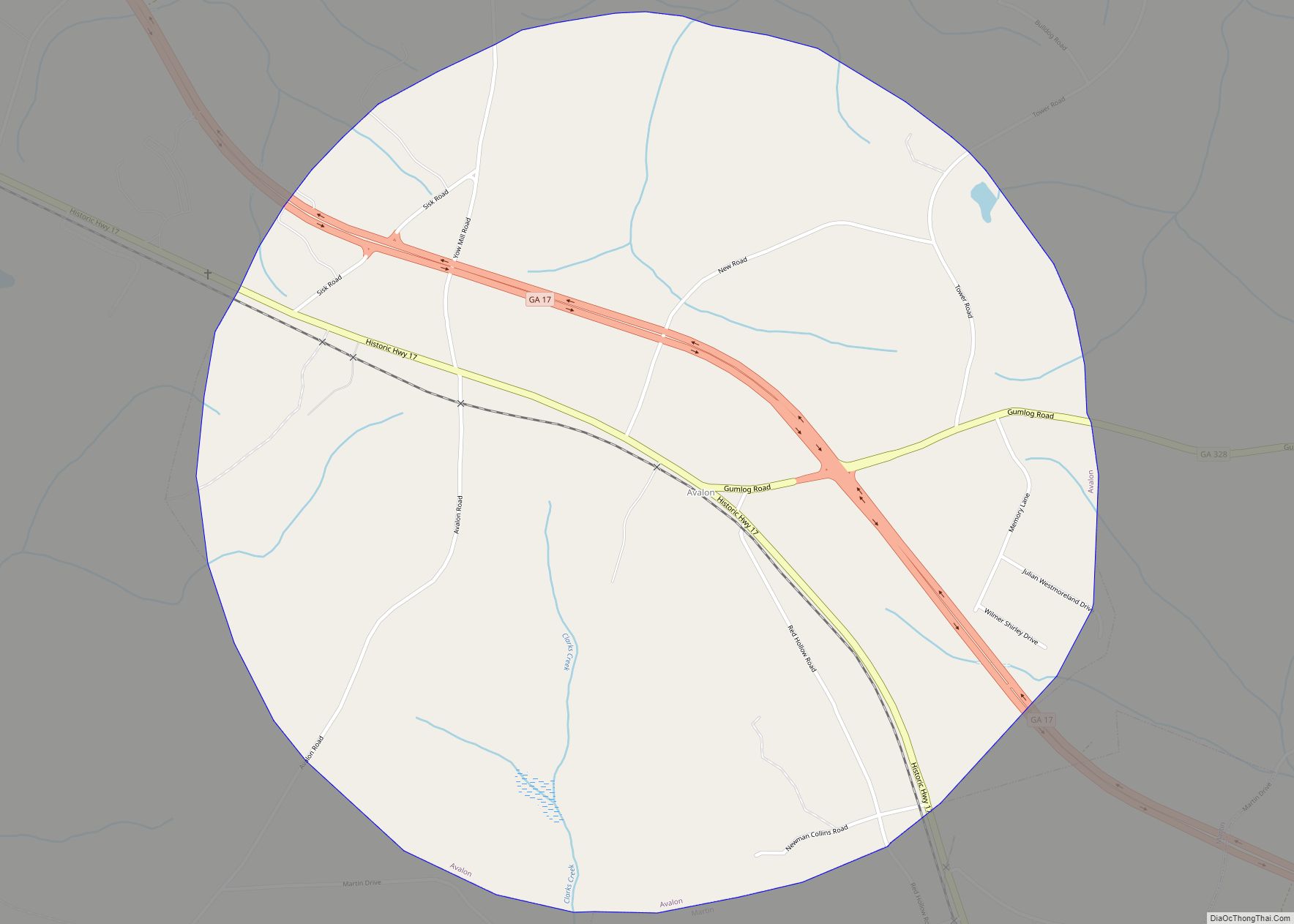
Online Interactive Map
Click on ![]() to view map in "full screen" mode.
to view map in "full screen" mode.
Toccoa location map. Where is Toccoa city?
History
Native Americans, including indigenous peoples of the Mississippian culture, and historic Yuchi (linked to the Muscogee Creek confederacy and later allies of the Cherokee), occupied Tugaloo and the area of Toccoa for at least 1,000 years prior to European settlement.
The Mississippian culture was known for building earthen platform mounds; in the Mississippi and Ohio valleys, the people developed some large, dense cities and complexes featuring multiple mounds and, in some cases, thousands of residents. In what is known as the regional South Appalachian Mississippian culture, by contrast, settlements were smaller and the peoples typically built a single platform mound in the larger villages.
Salvage archeological studies were conducted by Dr. Joseph Caldwell of the University of Georgia in 1957, prior to flooding of this area after construction of a dam downriver. He determined the first settlement was founded about 800 CE and lasted to 1700, when the village was burned. By that time, it was occupied by proto-Creek who were descendants of the Mississippians. Colonial maps until the American Revolution identified this village as one of the Hogeloge people (now known as Yuchi). While they later became allies of the Cherokee, they were of a different ethnicity and language group.
Colonial period
Habersham County).
Travelers had to rely on using fords, and later ferries, to get across the Tugaloo River. The first Prather’s Bridge was a swinging bridge built in 1804 by James Jeremiah Prather. The first bridge was washed away during a freshet (an overflow caused by heavy rain).
Georgia conducted a Land Lottery of 1820, although the Cherokee had not yet ceded this area to the United States. Scots-Irish who acquired land in the lottery moved to this area from the backcountry of North Carolina and the Georgia coast. The Georgia Gold Rush, starting in 1828, also attracted many new settlers to North Georgia.
European Americans pressed the government to take over the land of the Five Civilized Tribes, seeking cheaper land to develop for cotton plantations. Short-staple cotton, which could be grown in the uplands through this area, had become profitable since the invention of the cotton gin for processing it. At the urging of President Andrew Jackson, Congress passed the Indian Removal Act of 1830, authorizing the government to force cessions of land by Southeast tribes in exchange for lands west of the Mississippi River, in what became known as Indian Territory (now Oklahoma). The 1838 removal of the Cherokee on the infamous “Trail of Tears” extinguished most of their land claims to this area. The US government released former Cherokee and Creek (Muscogee) lands for sale and settlement by European Americans in Georgia.
A more substantial bridge was built across the Tugaloo River in 1850. That year James D. Prather supervised the construction of his plantation house known as Riverside, on a hill overlooking the upper Tugalo River. The Greek revival antebellum house was built by his enslaved African-American workers, and the timber for the house was harvested from his plantation. The Prather family cemetery was developed to the right of the house.
During the Civil War, General Robert Toombs, a close friend of Prather, used this house as a refuge from Union troops. The soldiers pursued him to Riverside, but he hid and escaped capture.
The Prather Bridge was burned in 1863 by Confederate troops during the Civil War to keep the Union enemy from crossing. James Jeremiah Prather and his son, James Devereaux Prather, rebuilt the bridge in 1868. This bridge lasted until 1918, when it was washed away. It was rebuilt in 1920 by James D. Prather. It was afterward replaced by a concrete bridge, but the wooden bridge was kept as a landmark. Vandals burned it down in 1978.
According to historical accounts, the Johns House, a Victorian cottage near Prather Bridge Road, was built in 1898. When the Georgia General Assembly created Stephens County in 1905, Toccoa was established as the county seat.
President Franklin Delano Roosevelt visited Toccoa on March 23, 1938 during the Great Depression. Roosevelt’s train made a brief stop there, and he made remarks from the rear platform of the presidential train. He traveled to Gainesville to deliver a major speech, and finished at Warm Springs for a vacation.
Camp Toccoa was developed nearby as a World War II paratrooper training base. It was the first training base for the 506th Parachute Infantry Regiment of the Army’s 101st Airborne Division. Its Easy Company was subject of the non-fiction book and an HBO miniseries adaptation of the same name: Band of Brothers.
Traveler’s Rest, an antebellum 19th-century inn, known locally as Jarrett Manor, is located outside Toccoa. It stands near Lake Hartwell, which was created by flooding an area of the Tugaloo River after completion of the Hartwell Dam in 1962. The inn has been designated as a National Historic Landmark.
Toccoa Falls is located on the campus of Toccoa Falls College. The short 100-yard path to the base of the 186-foot (57 m) high natural waterfall is handicap accessible.
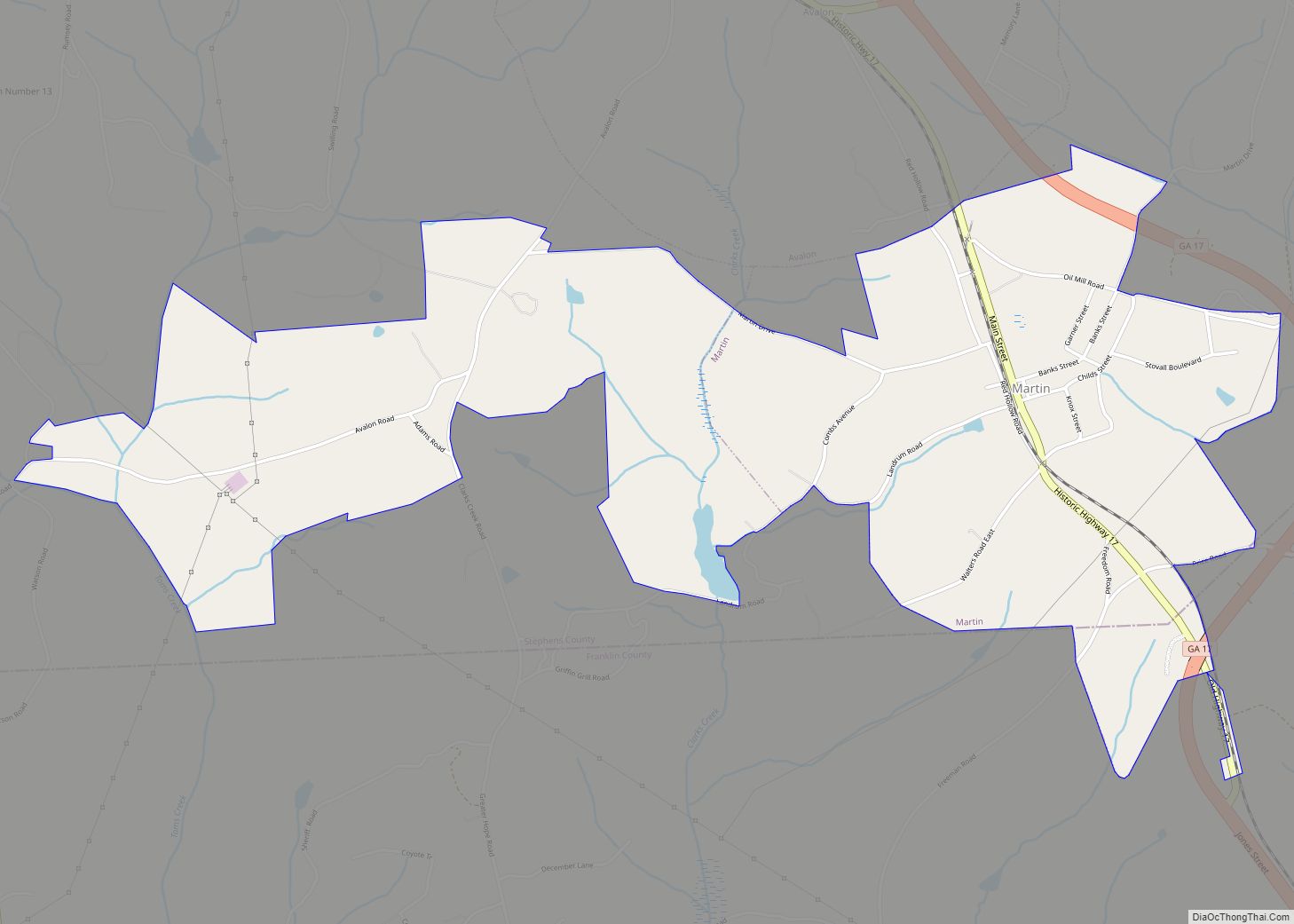
Toccoa Road Map

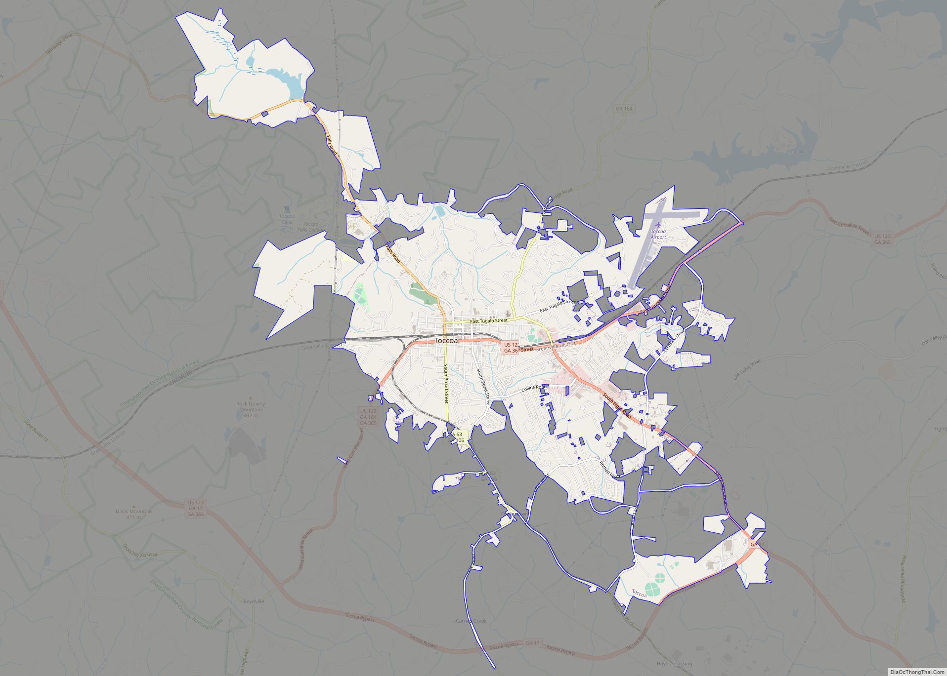
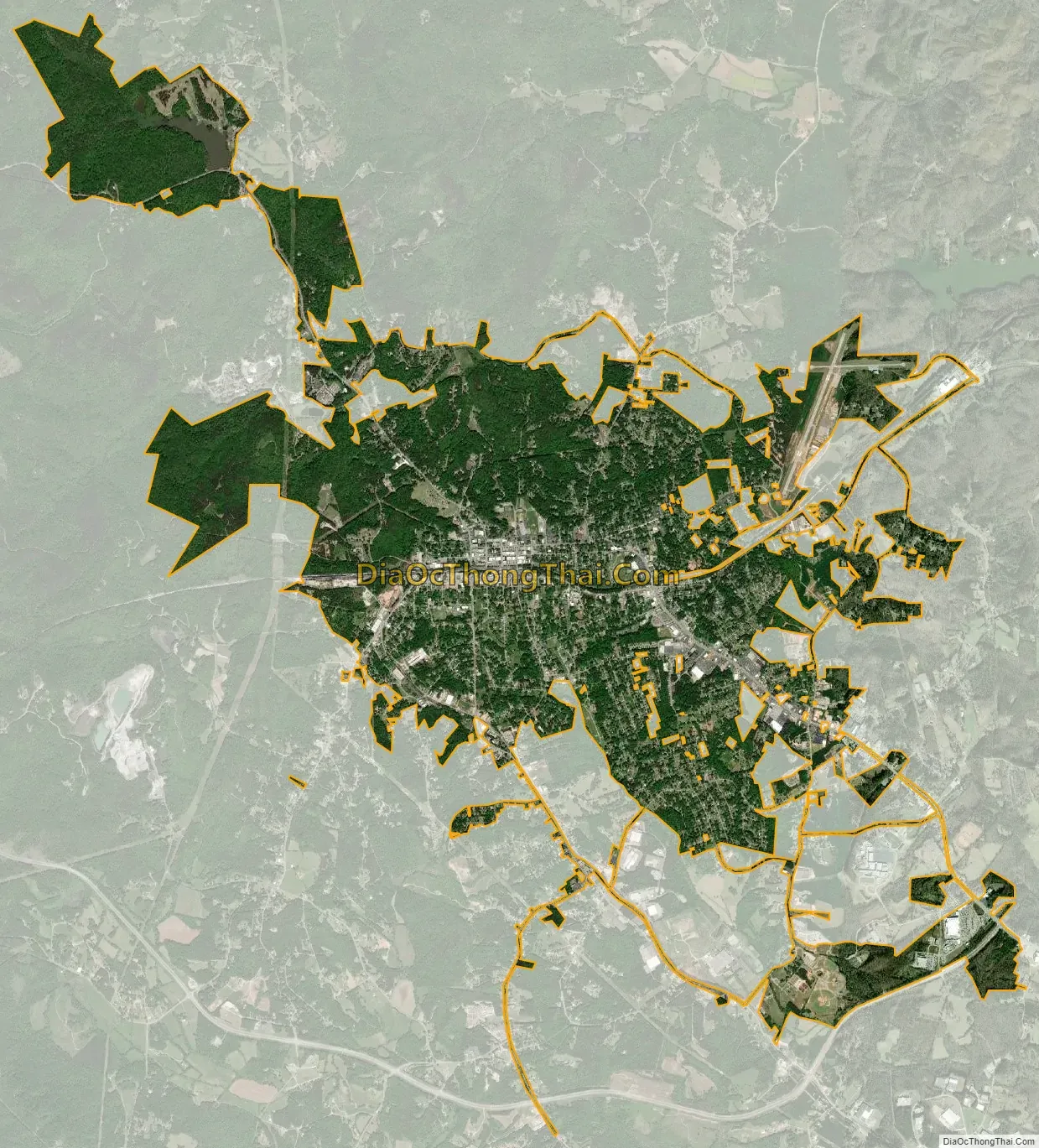
Toccoa city Satellite Map
Geography
Toccoa is located at 34°34′29″N 83°19′12″W / 34.57472°N 83.32000°W / 34.57472; -83.32000 (34.574725, −83.319865).
According to the United States Census Bureau, the city has a total area of 8.4 square miles (22 km), of which 8.3 square miles (21 km) is land and 0.1 square miles (0.26 km) (0.60%) is water.
Altitude is 313 m (1,027 ft).
Toccoa has a humid subtropical climate similar to much of the rest of the state of Georgia.
See also
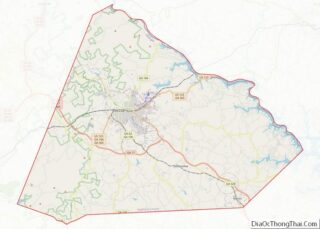
Map of Georgia State and its subdivision:- Appling
- Atkinson
- Bacon
- Baker
- Baldwin
- Banks
- Barrow
- Bartow
- Ben Hill
- Berrien
- Bibb
- Bleckley
- Brantley
- Brooks
- Bryan
- Bulloch
- Burke
- Butts
- Calhoun
- Camden
- Candler
- Carroll
- Catoosa
- Charlton
- Chatham
- Chattahoochee
- Chattooga
- Cherokee
- Clarke
- Clay
- Clayton
- Clinch
- Cobb
- Coffee
- Colquitt
- Columbia
- Cook
- Coweta
- Crawford
- Crisp
- Dade
- Dawson
- Decatur
- DeKalb
- Dodge
- Dooly
- Dougherty
- Douglas
- Early
- Echols
- Effingham
- Elbert
- Emanuel
- Evans
- Fannin
- Fayette
- Floyd
- Forsyth
- Franklin
- Fulton
- Gilmer
- Glascock
- Glynn
- Gordon
- Grady
- Greene
- Gwinnett
- Habersham
- Hall
- Hancock
- Haralson
- Harris
- Hart
- Heard
- Henry
- Houston
- Irwin
- Jackson
- Jasper
- Jeff Davis
- Jefferson
- Jenkins
- Johnson
- Jones
- Lamar
- Lanier
- Laurens
- Lee
- Liberty
- Lincoln
- Long
- Lowndes
- Lumpkin
- Macon
- Madison
- Marion
- McDuffie
- McIntosh
- Meriwether
- Miller
- Mitchell
- Monroe
- Montgomery
- Morgan
- Murray
- Muscogee
- Newton
- Oconee
- Oglethorpe
- Paulding
- Peach
- Pickens
- Pierce
- Pike
- Polk
- Pulaski
- Putnam
- Quitman
- Rabun
- Randolph
- Richmond
- Rockdale
- Schley
- Screven
- Seminole
- Spalding
- Stephens
- Stewart
- Sumter
- Talbot
- Taliaferro
- Tattnall
- Taylor
- Telfair
- Terrell
- Thomas
- Tift
- Toombs
- Towns
- Treutlen
- Troup
- Turner
- Twiggs
- Union
- Upson
- Walker
- Walton
- Ware
- Warren
- Washington
- Wayne
- Webster
- Wheeler
- White
- Whitfield
- Wilcox
- Wilkes
- Wilkinson
- Worth
- Alabama
- Alaska
- Arizona
- Arkansas
- California
- Colorado
- Connecticut
- Delaware
- District of Columbia
- Florida
- Georgia
- Hawaii
- Idaho
- Illinois
- Indiana
- Iowa
- Kansas
- Kentucky
- Louisiana
- Maine
- Maryland
- Massachusetts
- Michigan
- Minnesota
- Mississippi
- Missouri
- Montana
- Nebraska
- Nevada
- New Hampshire
- New Jersey
- New Mexico
- New York
- North Carolina
- North Dakota
- Ohio
- Oklahoma
- Oregon
- Pennsylvania
- Rhode Island
- South Carolina
- South Dakota
- Tennessee
- Texas
- Utah
- Vermont
- Virginia
- Washington
- West Virginia
- Wisconsin
- Wyoming