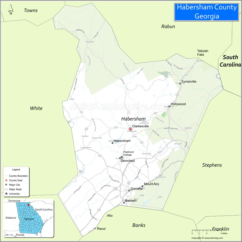
Habersham County is a county located in the northeastern part of the U.S. state of Georgia. As of the 2020 census, the population was 46,031. The county seat is Clarkesville. The county was created on December 15, 1817, and named for Colonel Joseph Habersham of the Continental Army in the Revolutionary War.
Habersham County comprises the Cornelia, GA Micropolitan Statistical Area.
| Name: | Habersham County |
|---|---|
| FIPS code: | 13-137 |
| State: | Georgia |
| Founded: | 1818 |
| Named for: | Joseph Habersham |
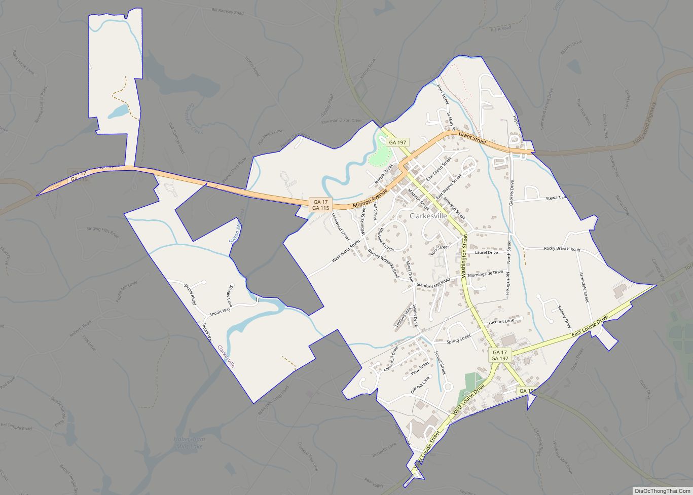
| Seat: | Clarkesville |
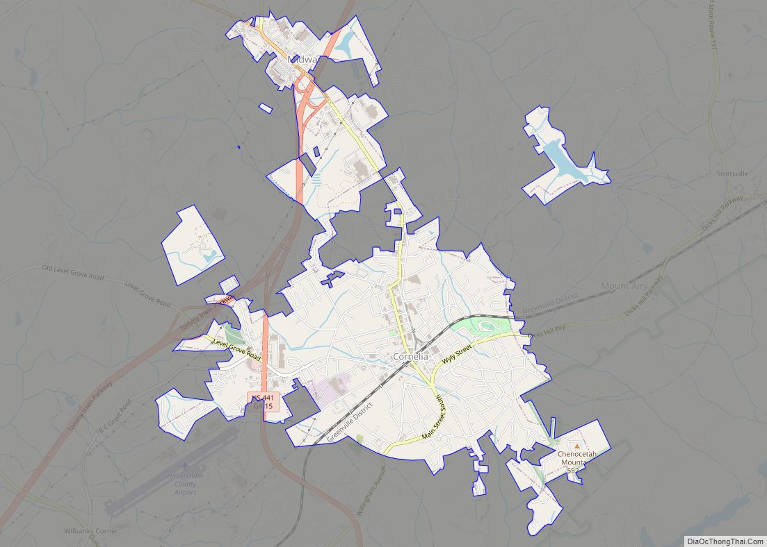
| Largest city: | Cornelia |
| Total Area: | 279 sq mi (720 km²) |
| Land Area: | 277 sq mi (720 km²) |
| Total Population: | 46,031 |
| Population Density: | 166/sq mi (64/km²) |
| Time zone: | UTC−5 (Eastern) |
| Summer Time Zone (DST): | UTC−4 (EDT) |
| Website: | www.co.habersham.ga.us |
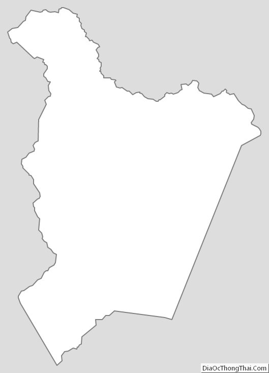
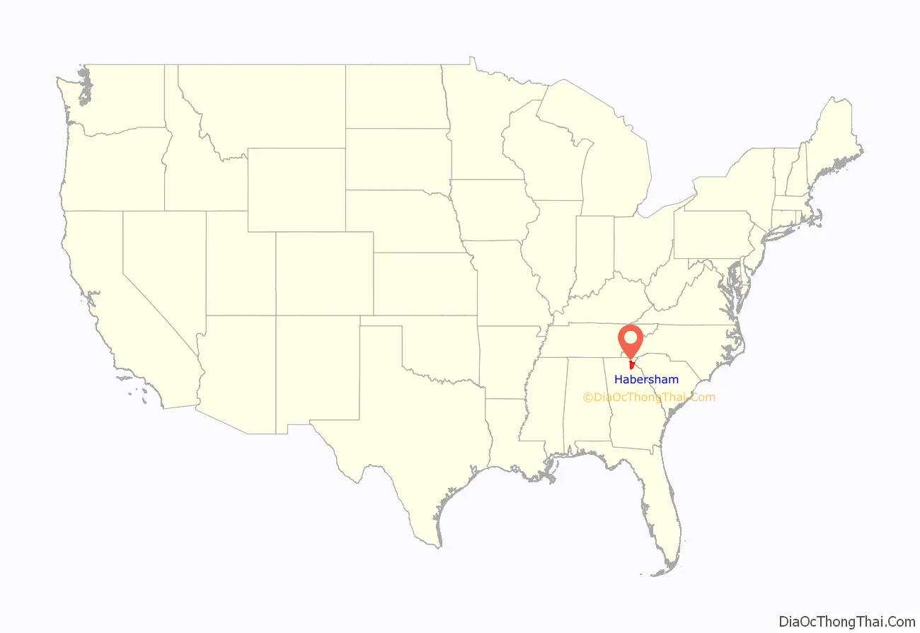
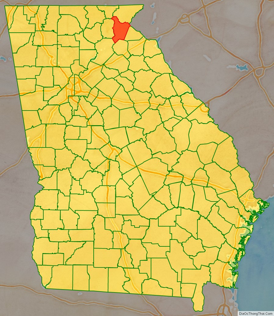
Habersham County location map. Where is Habersham County?
Habersham County Road Map
Geography
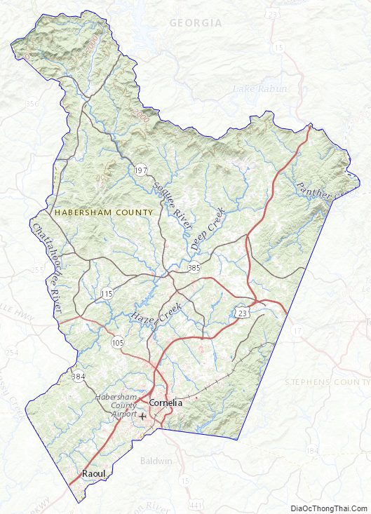
According to the U.S. Census Bureau, the county has a total area of 279 square miles (720 km), of which 277 square miles (720 km) is land and 2.3 square miles (6.0 km) (0.8%) is water. The county is located within the Blue Ridge Mountains, a segment of the Appalachian Mountains. The county also includes part of the Chattahoochee National Forest.
The highest point in the county is a 4,400-foot (1,300 m) knob less than 700 feet (210 m) southeast of the top of Tray Mountain, the seventh-highest mountain in Georgia. Habersham shares this portion of Tray Mountain, just 30 vertical feet shy of the peak’s 4,430-foot summit, with White County to the west and Towns County to the north. 2.4 miles to the northeast of Tray Mountain is Young Lick (elevation 3,809 feet (1,161 m)). The Appalachian Trail runs along the top of the high ridge between Young Lick and Tray, a part of the Blue Ridge Mountain crest.
Habersham is mostly located in the Upper Chattahoochee River sub-basin of the ACF River Basin (Apalachicola-Chattahoochee-Flint River Basin), with the northeastern corner of the county located in the Tugaloo River sub-basin in the larger Savannah River basin, and the southeastern portion located in the Broad River sub-basin of the same Savannah River basin.
The Chattahoochee River rises in what used to be Habersham County, as portrayed in Sidney Lanier’s poem “Song of the Chattahoochee”:
The county, originally comprising much of Northeast Georgia, was cut up dramatically in the latter half of the 19th century and the first years of the 20th century; as population increased in the area, new counties were organized from it and borders were changed. In 1857, its most western part was added to Lumpkin County, which had been created in 1832. That same year, the area east of Lumpkin and west of present-day Habersham became White County. In 1859, Banks County was carved from Habersham’s southernmost territory. Finally, in 1905, Stephens County was formed from parts of Habersham and Banks.
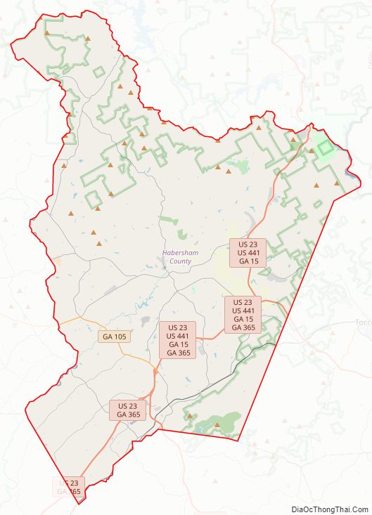
Major highways
- U.S. Route 23
- U.S. Route 123
- U.S. Route 441
U.S. Route 441 Business (west of Toccoa)- State Route 15
- State Route 15 Connector
- State Route 15 Loop
- State Route 17
- State Route 17 Alternate
- State Route 105
- State Route 115
- State Route 197
- State Route 197 Connector
- State Route 255
- State Route 255 Alternate
- State Route 356
- State Route 365
- State Route 384
- State Route 385
Adjacent counties
- Rabun County – north
- Oconee County, South Carolina – east
- Stephens County – east
- Banks County – south
- Hall County – southwest
- White County – west
- Towns County – northwest
Habersham County Topographic Map
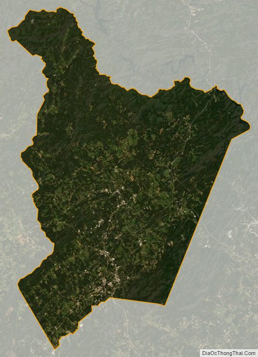
Habersham County Satellite Map
Habersham County Outline Map