Sublette County is a county in the U.S. state of Wyoming. As of the 2020 United States Census, the population was 8,728. The county seat is Pinedale. It is a sparsely populated rural county in western Wyoming, along the Green River.
| Name: | Sublette County |
|---|---|
| FIPS code: | 56-035 |
| State: | Wyoming |
| Founded: | February 15, 1921(authorized) 1923 (organized) |
| Named for: | William Sublette |
| Seat: | Pinedale |
| Largest town: | Pinedale |
| Total Area: | 4,936 sq mi (12,780 km²) |
| Land Area: | 4,887 sq mi (12,660 km²) |
| Total Population: | 8,728 |
| Population Density: | 1.8/sq mi (0.68/km²) |
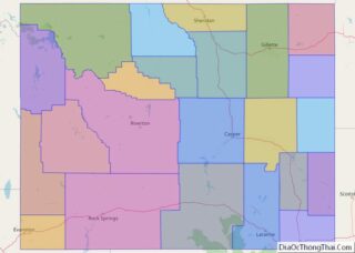
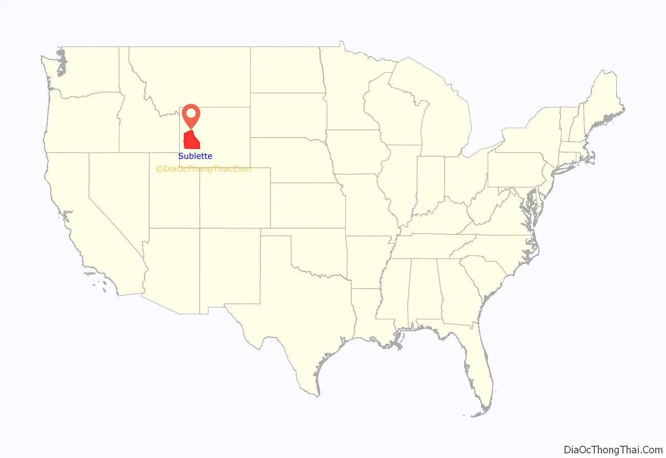
Sublette County location map. Where is Sublette County?
History
Sublette County was created February 15, 1921, of land partitioned from Fremont and Lincoln counties. Its governing organization was completed by 1923. Before settlement, the western Wyoming mountains were traversed and harvested by fur trappers and traders. Sublette County is named for one of those early characters, William Lewis Sublette. Today the county celebrates its fur trade heritage with the Museum of the Mountain Man in Pinedale. In the early 1900s the majority of the population in what is today Sublette County were first generation immigrants from England and Germany. A majority of the population in Sublette County supported America’s entry into World War I and at the time the county was known for its “pro-British” sentiments. The German immigrants in the county were not anti-British, and most of them were outspoken about England being their favorite foreign country other than Germany, however they did support neutrality and want America to stay out of the war. Even during the war, relations between first generation English immigrants and first generation German immigrants were known for being exceptionally cordial (Sublette County, Wyoming stood out in this regard because this was not the norm nation-wide).
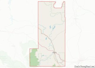
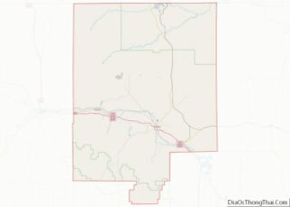
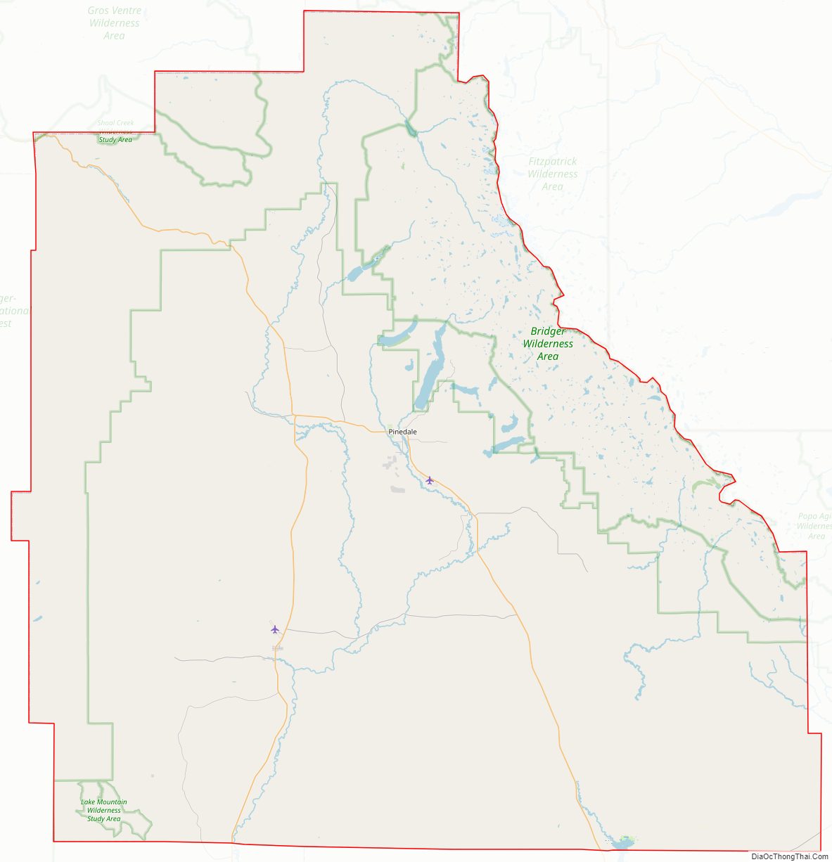
Sublette County Road Map
Geography
According to the US Census Bureau, the county has a total area of 4,936 square miles (12,780 km), of which 4,887 square miles (12,660 km) is land and 49 square miles (130 km) (1.0%) is water.
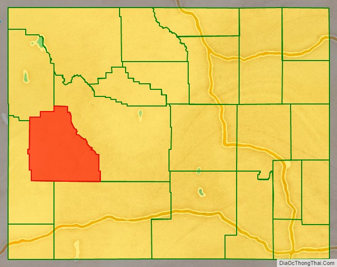
Adjacent counties
- Fremont County – east
- Sweetwater County – southeast
- Lincoln County – southwest
- Teton County – northwest
National protected areas
- Bridger National Forest (part)
- Shoshone National Forest (part)
- Teton National Forest (part)
At present, Bridger National Forest and Teton National Forest are administratively combined into the Bridger-Teton National Forest. Sublette County contains portions of both original forests.
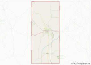
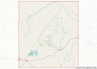
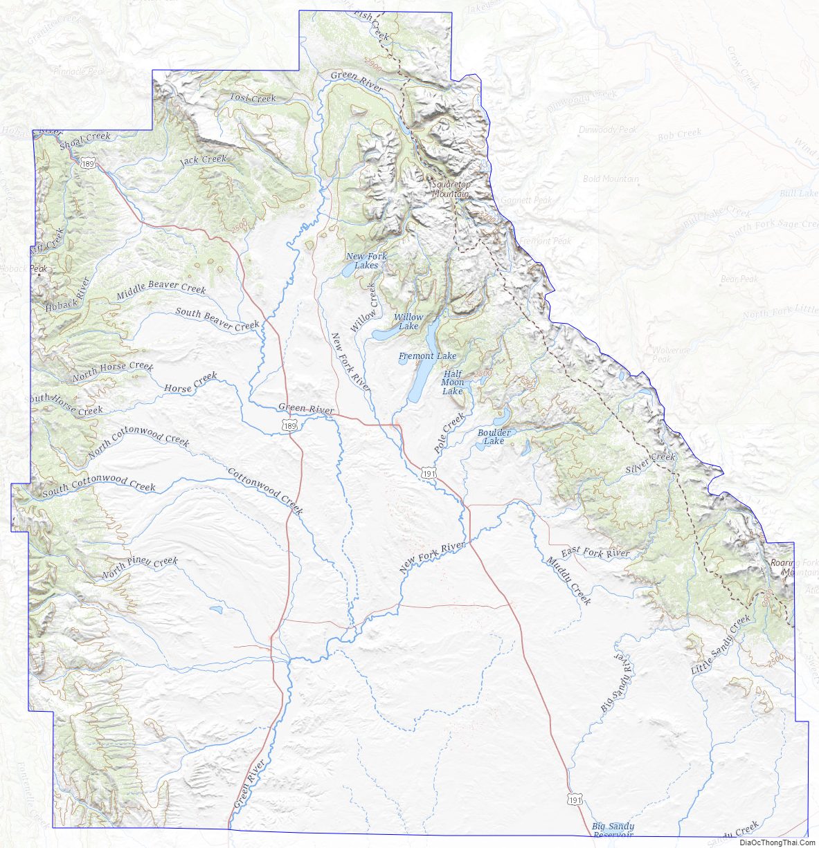
Sublette County Topographic Map
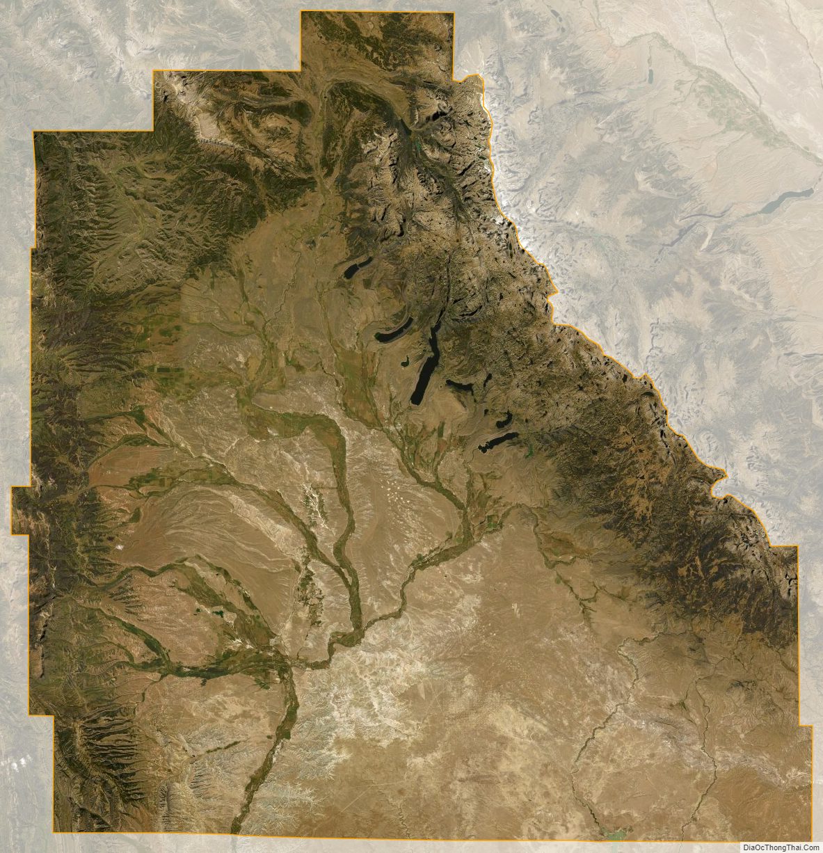
Sublette County Satellite Map
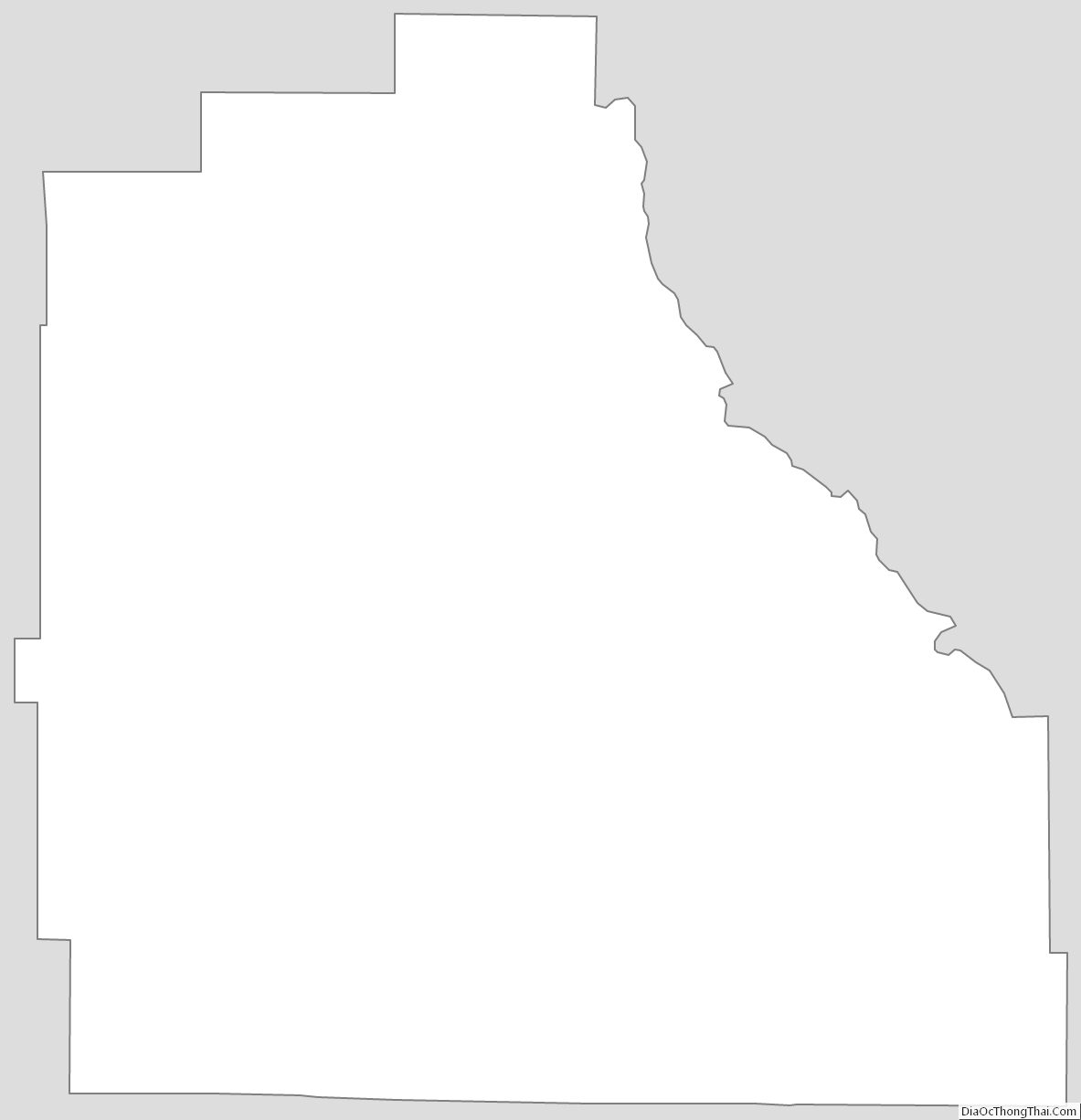
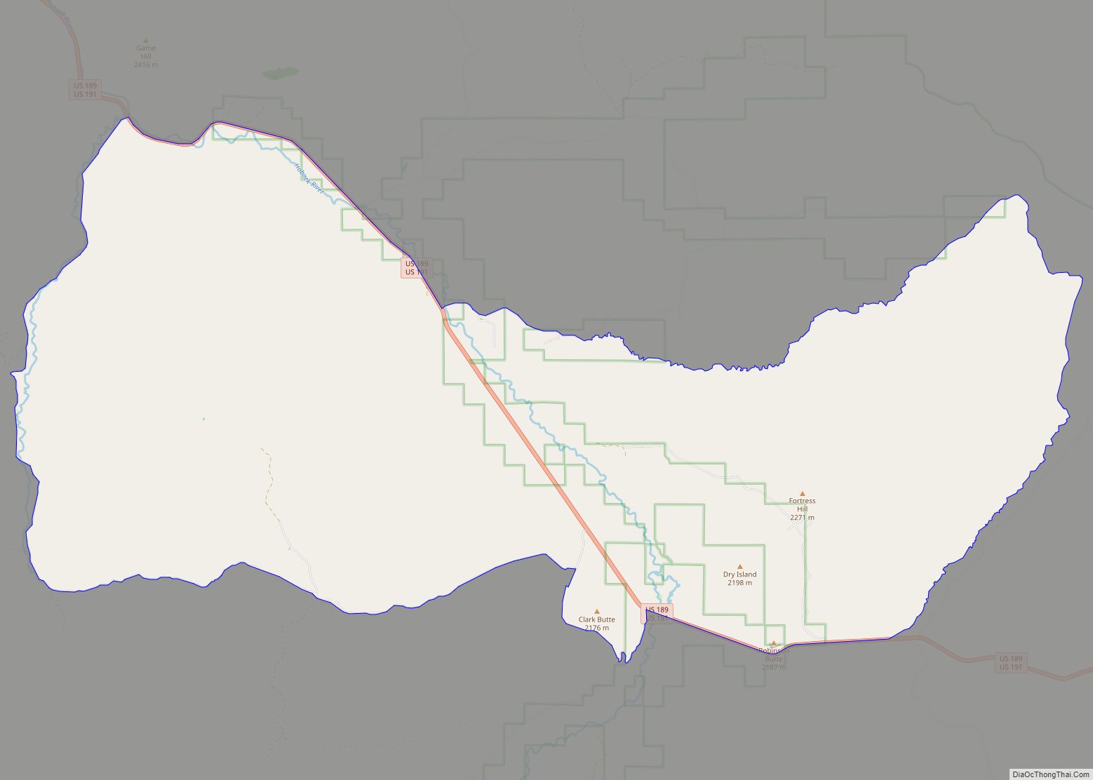
Sublette County Outline Map