| Name: | Tama County |
|---|---|
| FIPS code: | 19-171 |
| State: | Iowa |
| Founded: | 1843 |
| Named for: | Taimah |
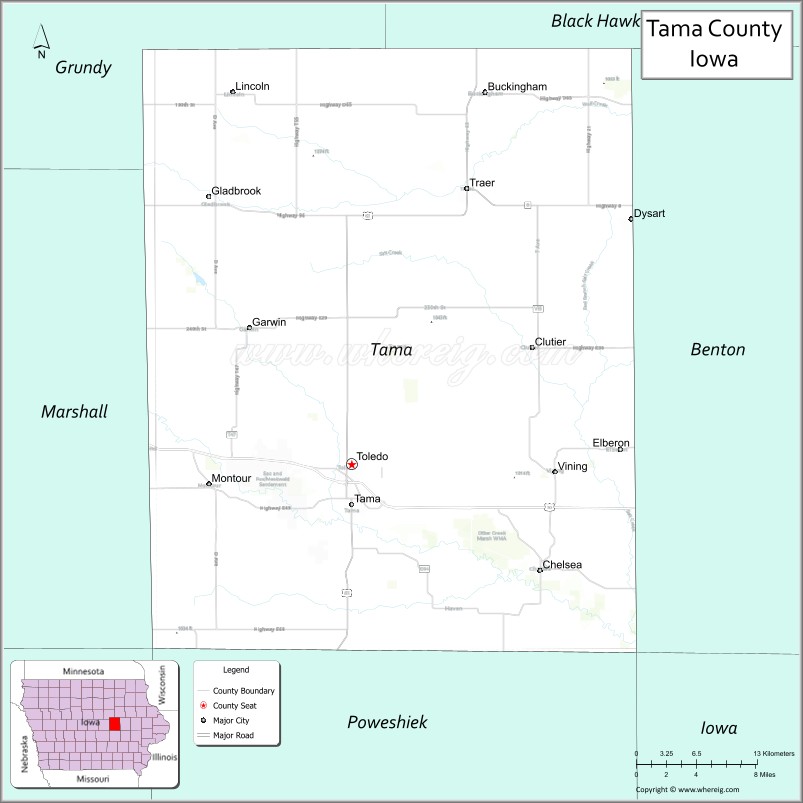
| Seat: | Toledo |
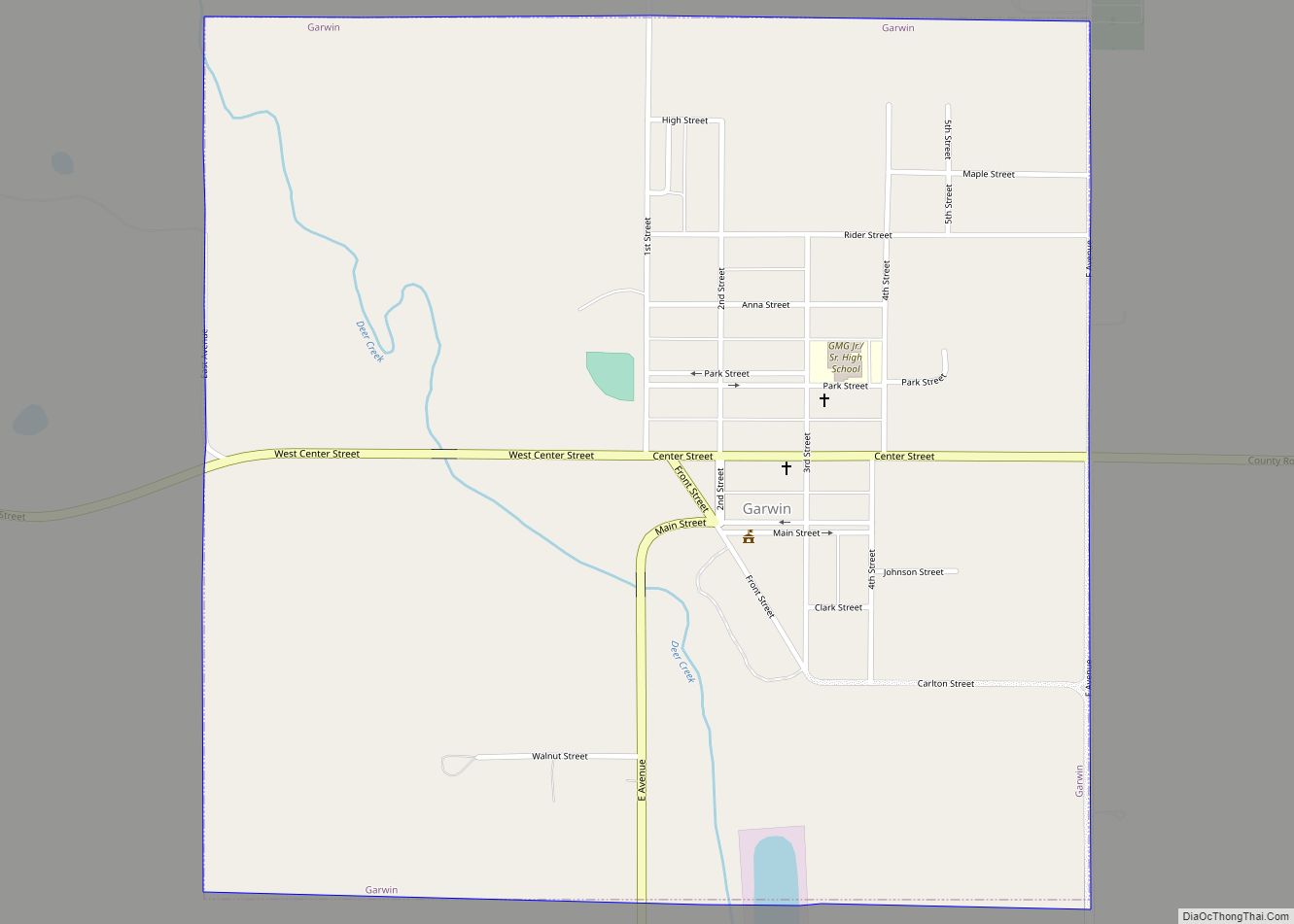
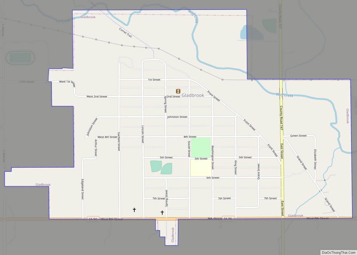
| Largest city: | Tama |
| Total Area: | 722 sq mi (1,870 km²) |
| Land Area: | 721 sq mi (1,870 km²) |
| Total Population: | 17,135 |
| Population Density: | 24/sq mi (9.2/km²) |
| Time zone: | UTC−6 (Central) |
| Summer Time Zone (DST): | UTC−5 (CDT) |
| Website: | www.tamacounty.iowa.gov |
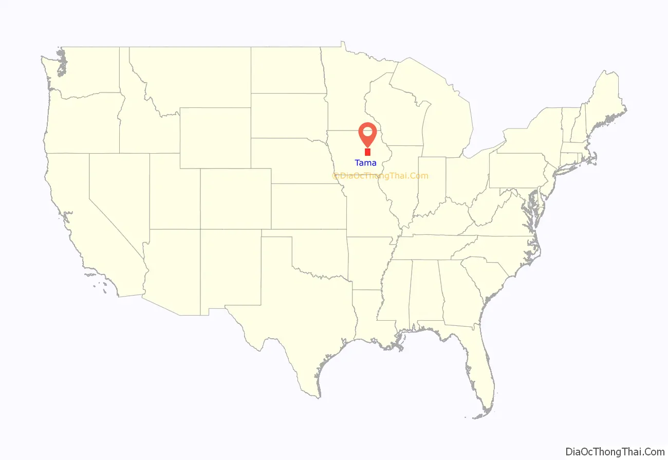
Tama County location map. Where is Tama County?
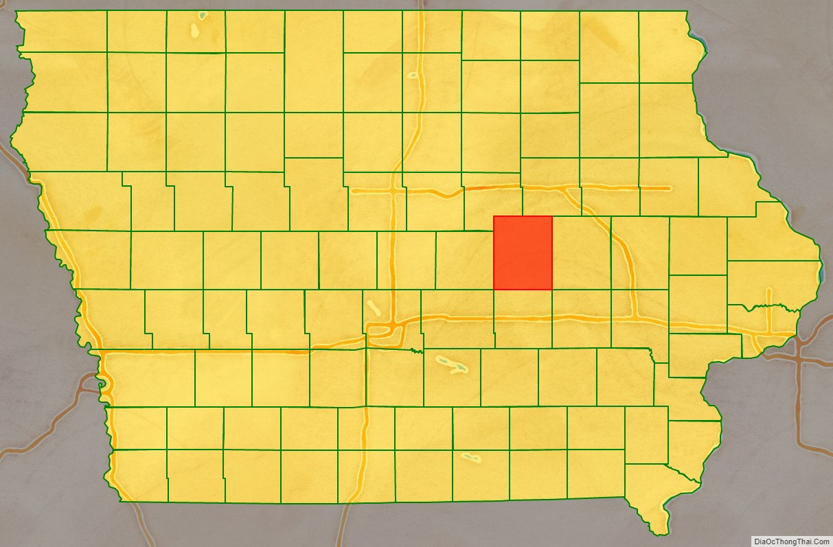
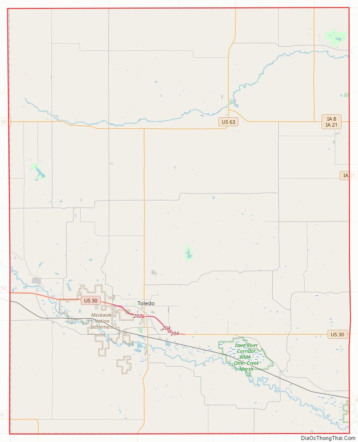
Tama County Road Map
Geography
According to the U.S. Census Bureau, the county has a total area of 722 square miles (1,870 km), of which 721 square miles (1,870 km) is land and 1.1 square miles (2.8 km) (0.1%) is water.
Major highways
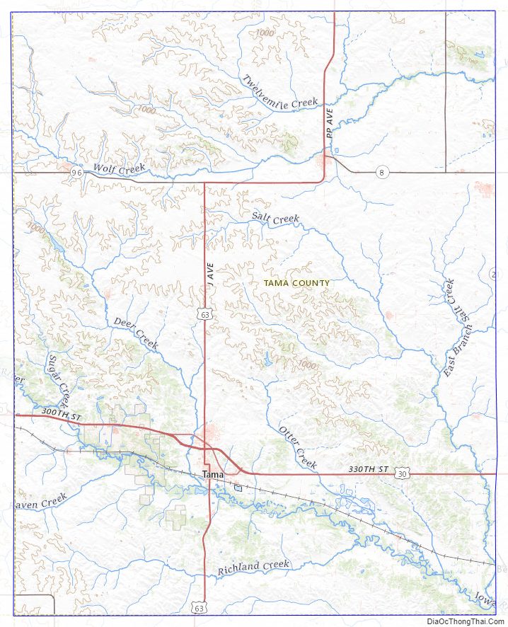
- U.S. Highway 30
- U.S. Highway 63
- Iowa Highway 8
- Iowa Highway 21
- Iowa Highway 96
- Iowa Highway 146
Adjacent counties
- Grundy County (northwest)
- Black Hawk County (northeast)
- Benton County (east)
- Poweshiek County (south)
- Marshall County (west)
- Iowa County (southeast)
- Jasper County (southwest)
Tama County Topographic Map
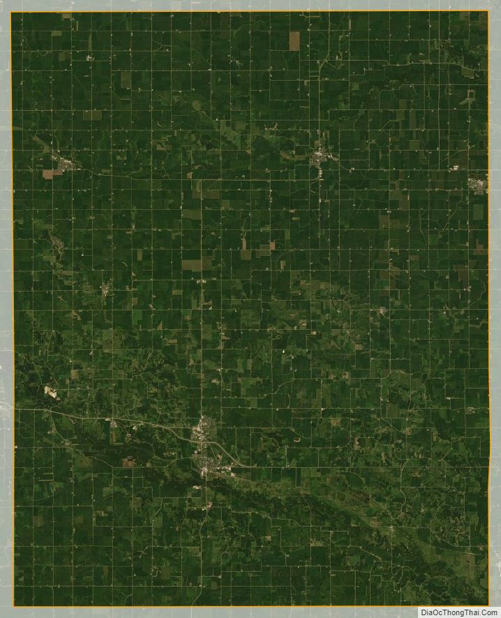
Tama County Satellite Map
Tama County Outline Map