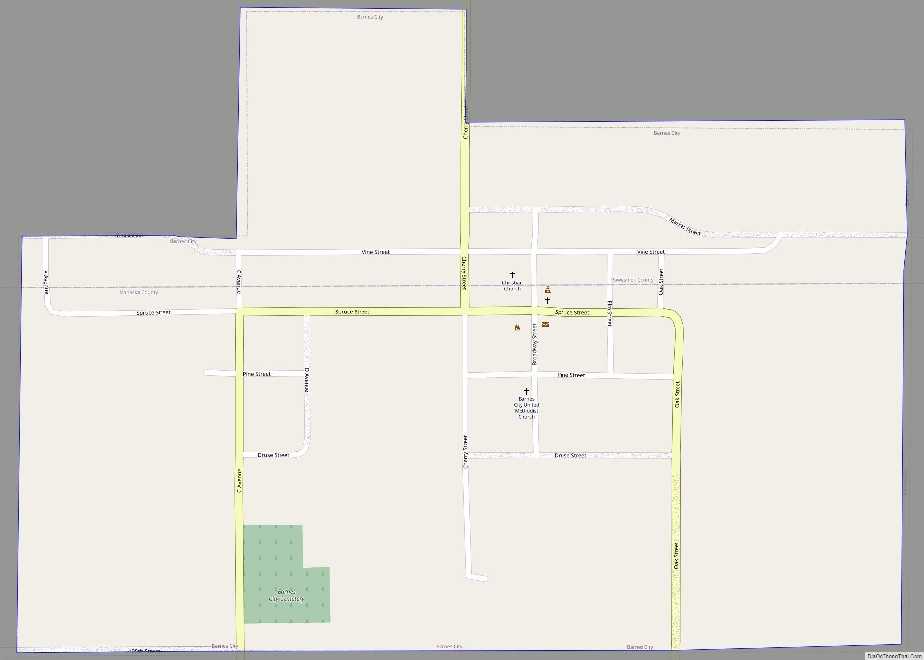
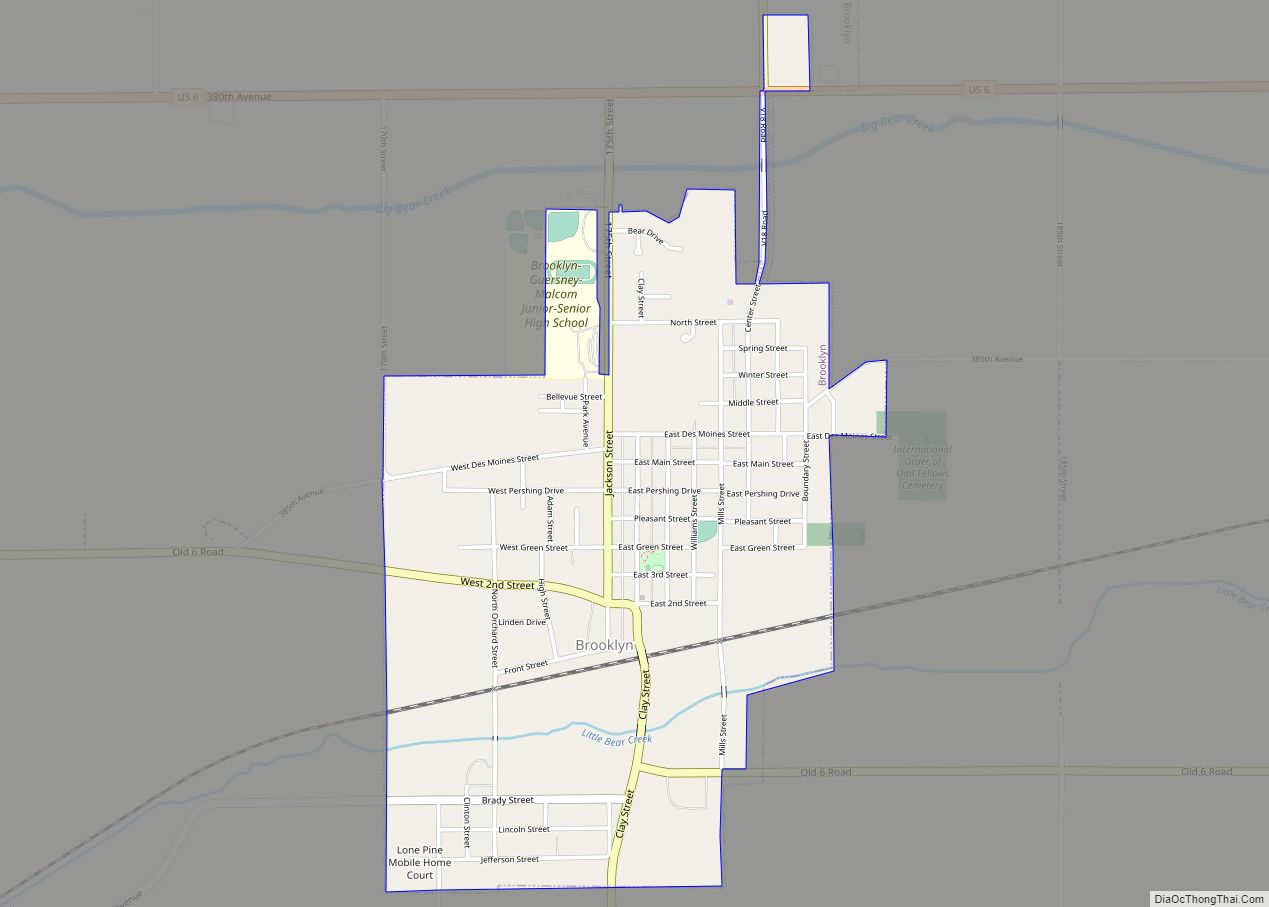
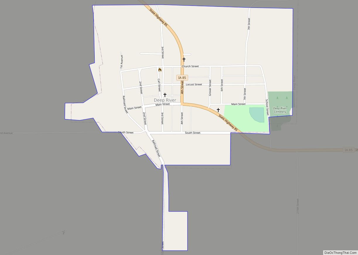
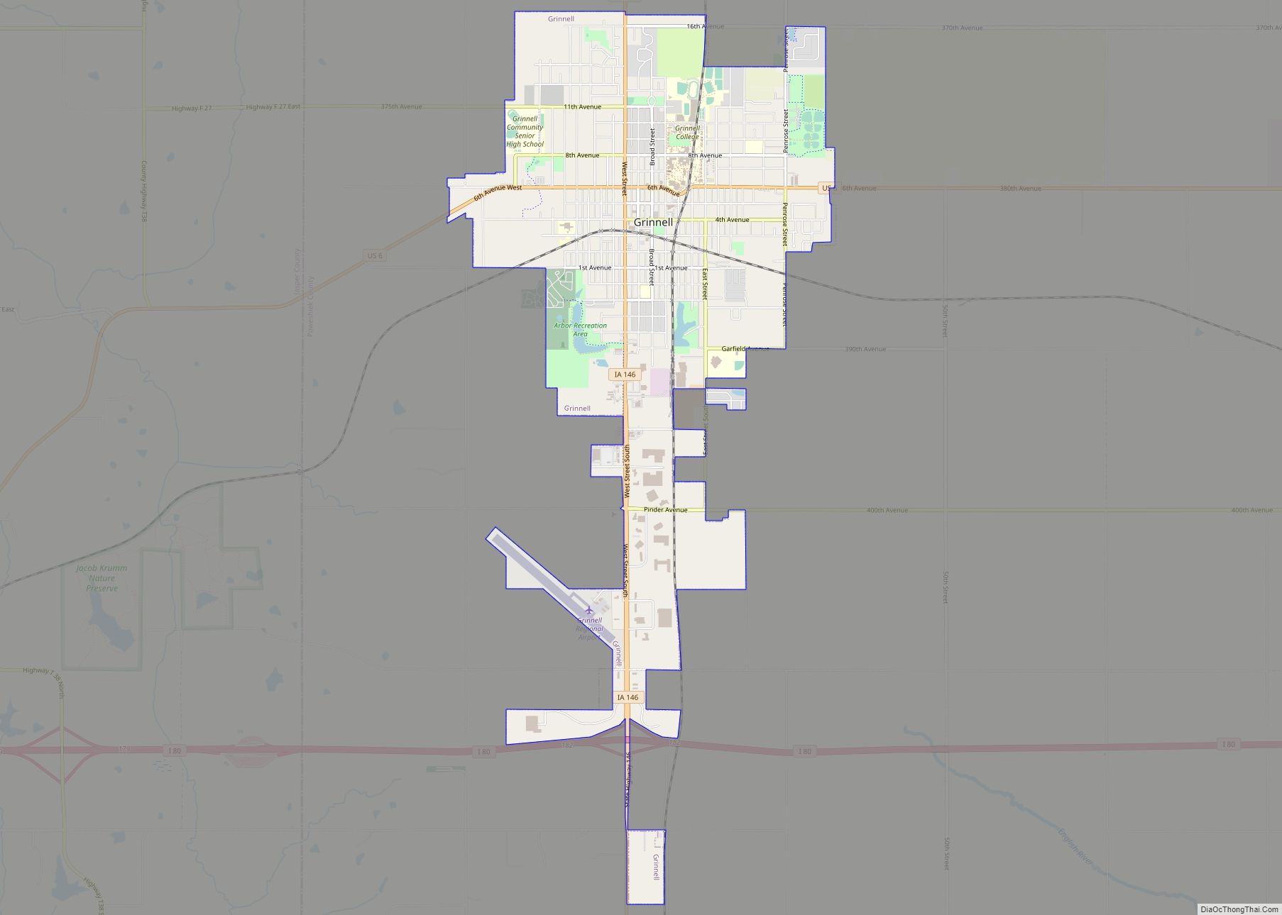
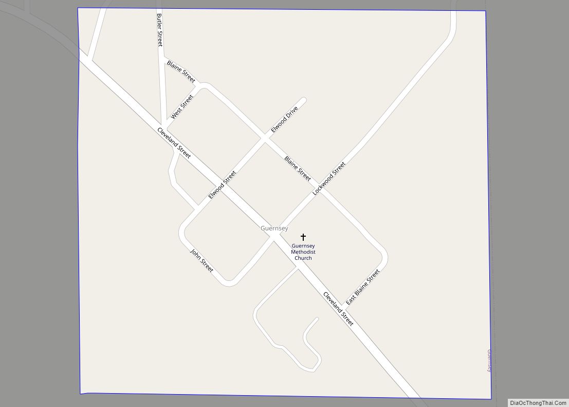
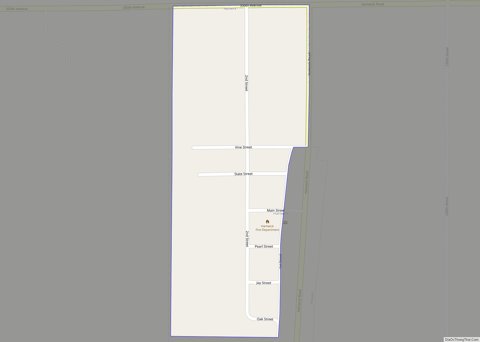
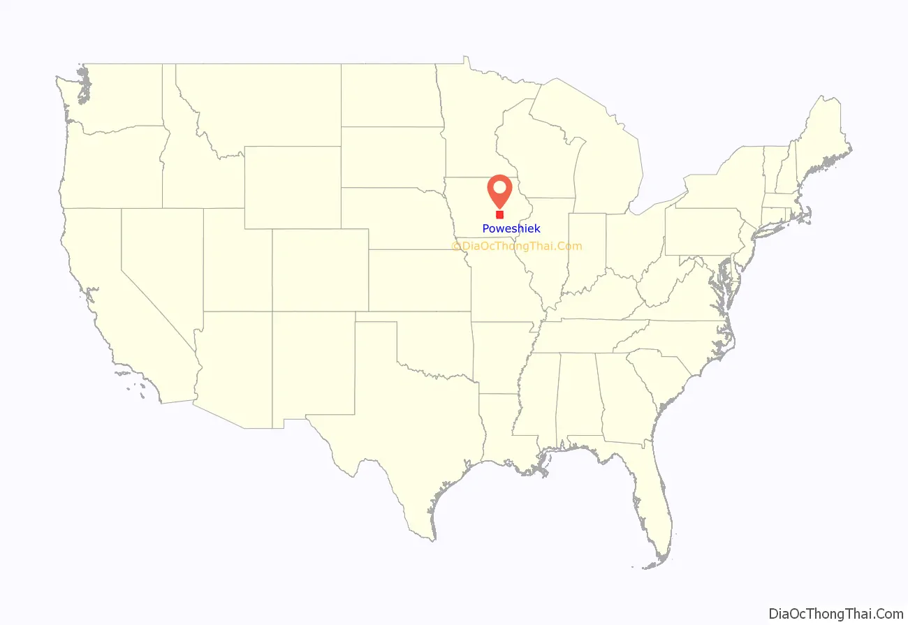
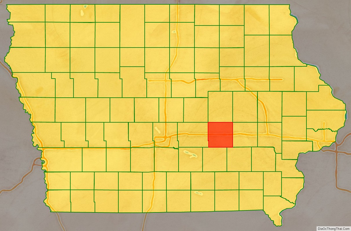
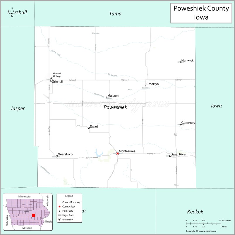
Poweshiek County is a county in the southeastern part of the U.S. state of Iowa. As of the 2020 census, the population was 18,662. The county seat is Montezuma. The county is named for the chief of the Fox tribe who signed the treaty ending the Black Hawk War. It lies along Interstate 80 between Des Moines and Iowa City. Poweshiek County’s largest city is Grinnell.
| Name: | Poweshiek County |
|---|---|
| FIPS code: | 19-157 |
| State: | Iowa |
| Founded: | 1843 |
| Named for: | Poweshiek, Meskwaki chief |
| Seat: | Montezuma |
| Largest city: | Grinnell |
| Total Area: | 586 sq mi (1,520 km²) |
| Land Area: | 585 sq mi (1,520 km²) |
| Total Population: | 18,662 |
| Population Density: | 32/sq mi (12/km²) |
| Time zone: | UTC−6 (Central) |
| Summer Time Zone (DST): | UTC−5 (CDT) |
| Website: | poweshiekcounty.org |
Poweshiek County location map. Where is Poweshiek County?
History
Poweshiek County was formed in 1843. It was named for Meskwaki Chief Poweshiek (1791–1854), a chief of the Fox Indian people. The Poweshiek County Courthouse, completed in 1859, is listed on the National Register of Historic Places.
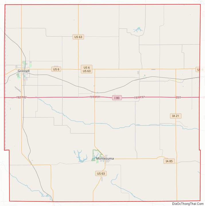
Poweshiek County Road Map
Geography
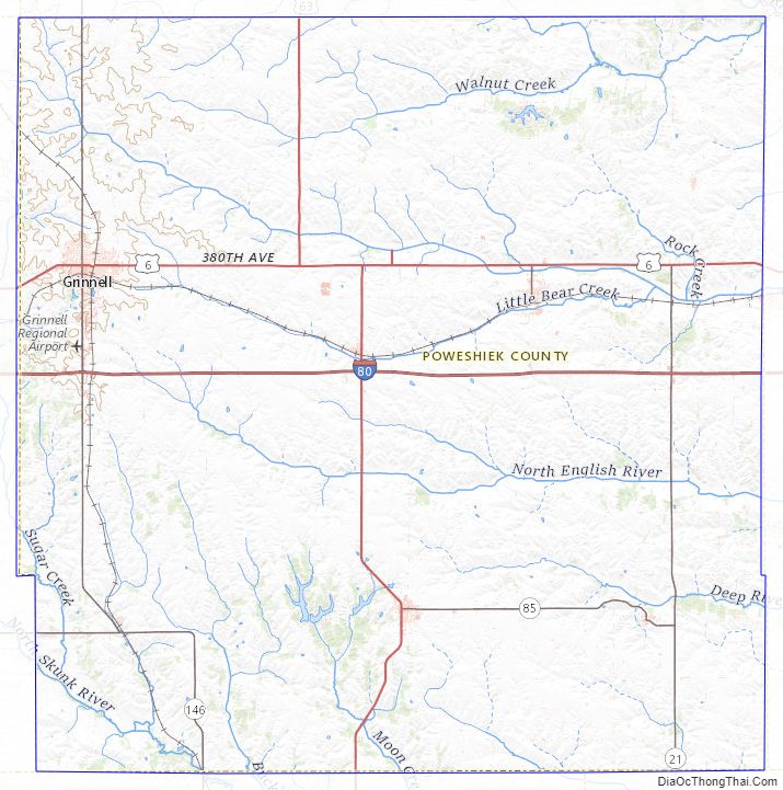
According to the U.S. Census Bureau, the county has a total area of 586 square miles (1,520 km), of which 585 square miles (1,520 km) is land and 1.1 square miles (2.8 km) (0.2%) is water. It is drained by the north fork of Skunk River, which crosses the southwest corner, and by English River and other streams.
Major highways
- Interstate 80
- U.S. Highway 6
- U.S. Highway 63
- Iowa Highway 21
- Iowa Highway 85
- Iowa Highway 146
Transit
- List of intercity bus stops in Iowa
Adjacent counties
- Tama County (north)
- Iowa County (east)
- Keokuk County (southeast)
- Mahaska County (south)
- Jasper County (west)
Poweshiek County Topographic Map
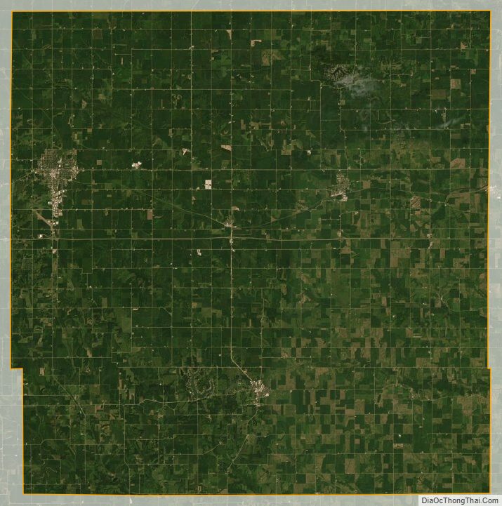
Poweshiek County Satellite Map
Poweshiek County Outline Map