Toombs County is a county located in the east central portion of the U.S. state of Georgia. As of the 2020 census, the population was 27,030. The county seat is Lyons and the largest city is Vidalia. The county was created on August 18, 1905.
Toombs County is part of the Vidalia, Georgia Micropolitan Statistical Area.
| Name: | Toombs County |
|---|---|
| FIPS code: | 13-279 |
| State: | Georgia |
| Founded: | 1905 |
| Named for: | Robert Toombs |
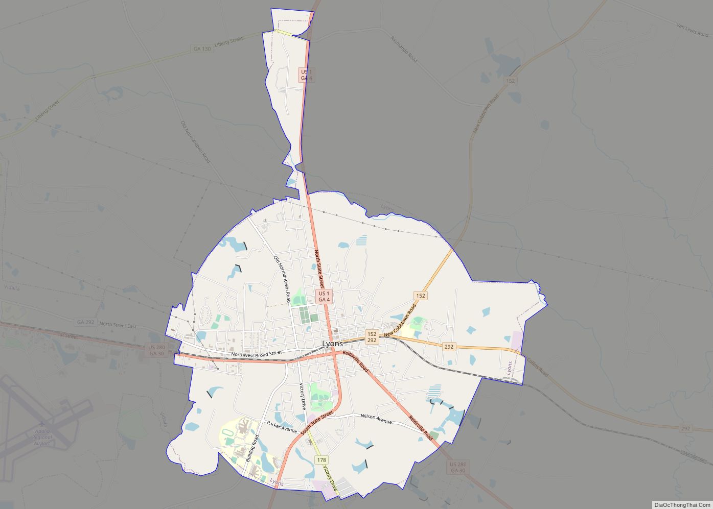
| Seat: | Lyons |
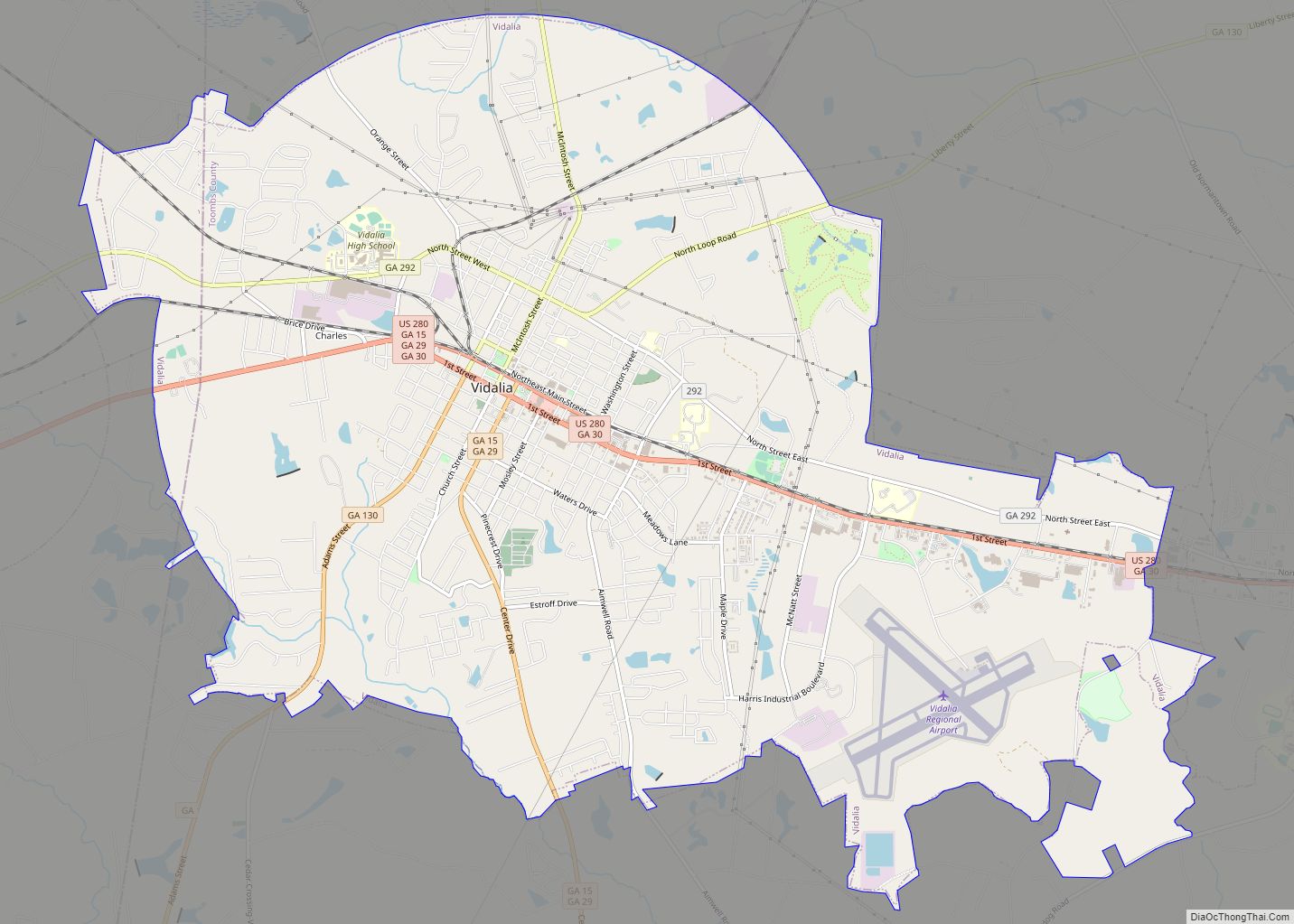
| Largest city: | Vidalia |
| Total Area: | 371 sq mi (960 km²) |
| Land Area: | 364 sq mi (940 km²) |
| Total Population: | 27,030 |
| Population Density: | 74/sq mi (29/km²) |
| Time zone: | UTC−5 (Eastern) |
| Summer Time Zone (DST): | UTC−4 (EDT) |
| Website: | www.toombscountyga.gov |
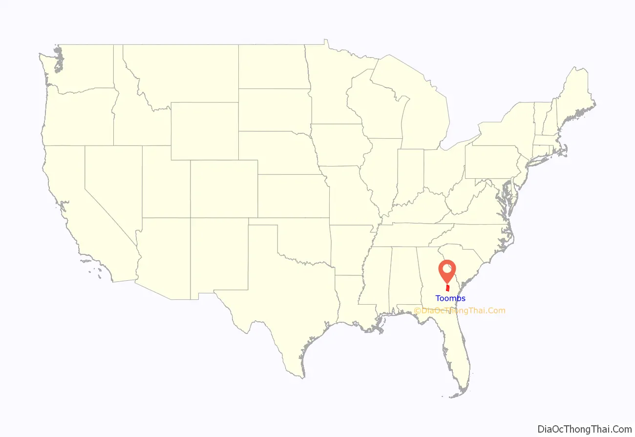
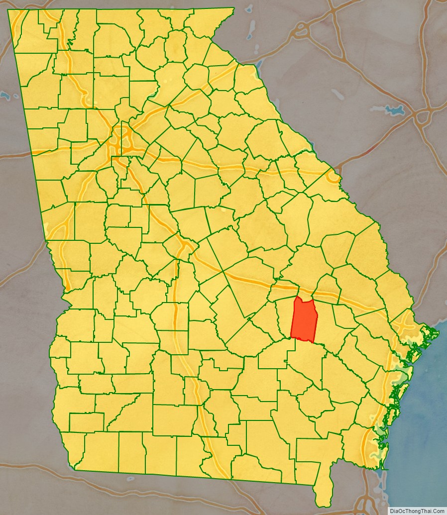
Toombs County location map. Where is Toombs County?
History
Toombs County was founded as the 144th county in Georgia by the State Legislature on August 18, 1905 and organized on October 9 of that year. The county was originally formed from portions of Tattnall and Montgomery Counties; a small piece of Emanuel County was added in 1907 to give Toombs County its present-day boundaries.
The County is named for Robert Toombs, United States representative and senator. During the Civil War, Toombs also served in the Confederate Provisional Congress, as Secretary of State of the Confederate States, and a brigadier general in the Confederate Army.
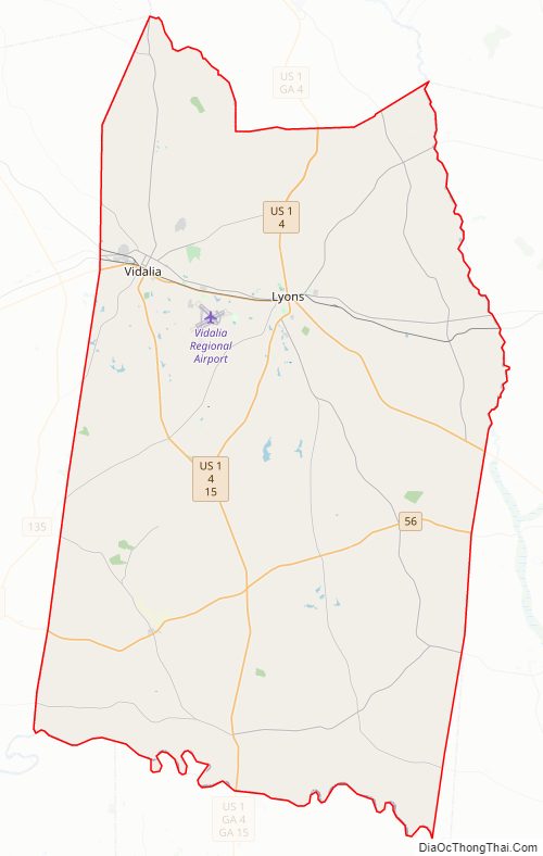
Toombs County Road Map

Geography
According to the U.S. Census Bureau, the county has a total area of 371 square miles (960 km), of which 364 square miles (940 km) is land and 7.0 square miles (18 km) (1.9%) is water.
The southern half of Toombs County, from south of Vidalia southeast to State Route 147, is located in the Altamaha River sub-basin of the larger river basin by the same name. The northern half of the county, centered on Lyons, is located in the Ohoopee River sub-basin of the Altamaha River basin.
Major highways
- U.S. Route 1
- U.S. Route 280
- State Route 4
- State Route 15
- State Route 29
- State Route 30
- State Route 56
- State Route 86
- State Route 130
- State Route 147
- State Route 152
- State Route 178
- State Route 292
- State Route 297
- State Route 298
Adjacent counties
- Emanuel County (north)
- Tattnall County (east)
- Appling County (south)
- Jeff Davis County (southwest)
- Montgomery County (west)
- Treutlen County (northwest)
- Candler County (northeast)
Toombs County Topographic Map
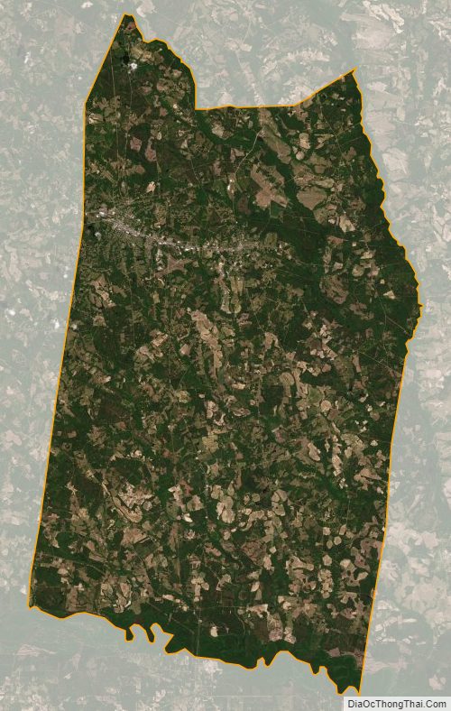
Toombs County Satellite Map
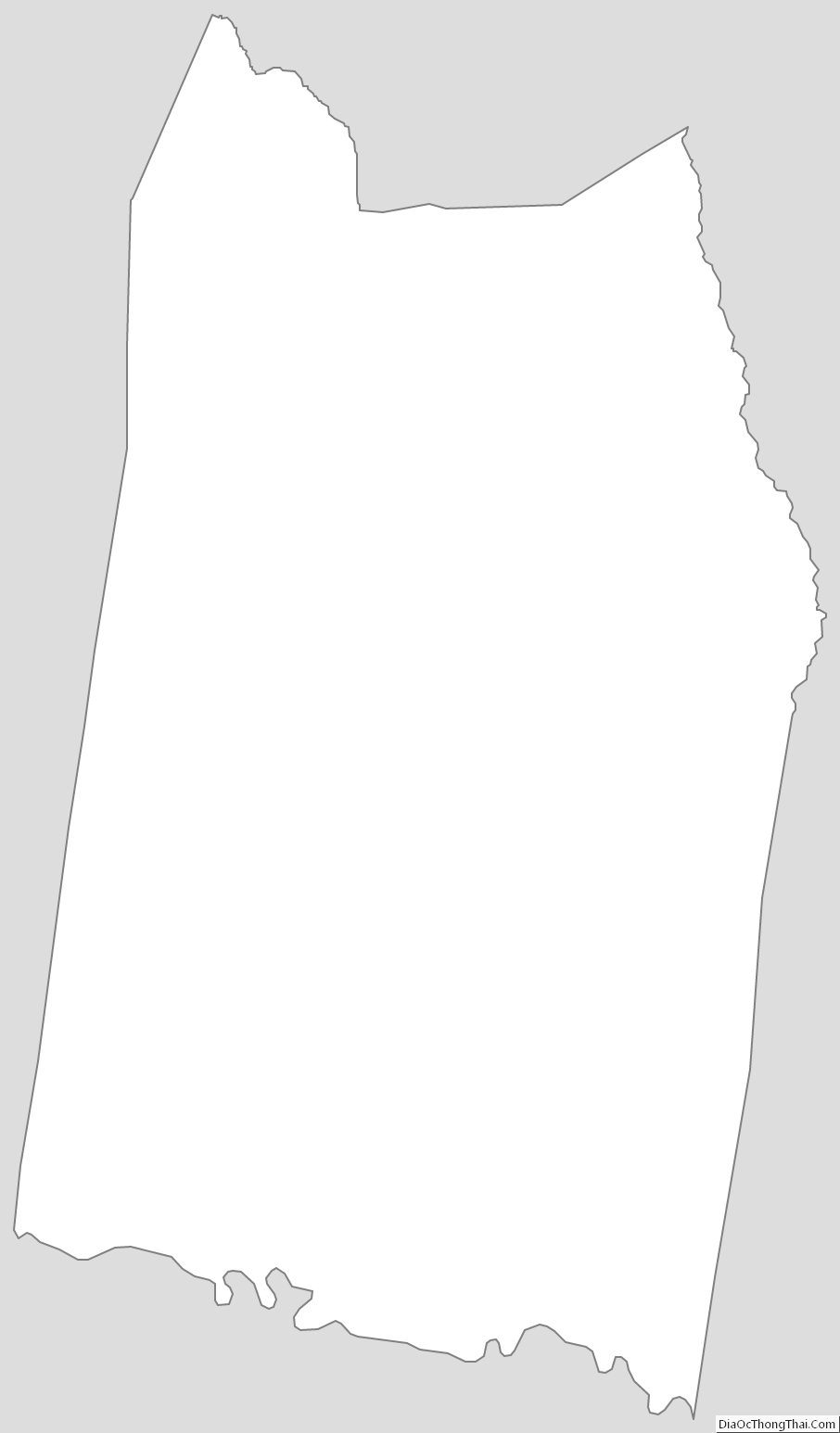
Toombs County Outline Map