Jeff Davis County is a county located in the southeastern part of the U.S. state of Georgia. As of the 2020 census, the population was 14,779. The county seat is Hazlehurst. The county was created on August 18, 1905, and named for Jefferson Davis, the only Confederate president.
| Name: | Jeff Davis County |
|---|---|
| FIPS code: | 13-161 |
| State: | Georgia |
| Founded: | 1905 |
| Named for: | Jefferson Davis |
| Seat: | Hazlehurst |
| Largest city: | Hazlehurst |
| Total Area: | 335 sq mi (870 km²) |
| Land Area: | 331 sq mi (860 km²) |
| Total Population: | 14,779 |
| Population Density: | 45/sq mi (17/km²) |
| Time zone: | UTC−5 (Eastern) |
| Summer Time Zone (DST): | UTC−4 (EDT) |
| Website: | www.hazlehurst-jeffdavis.com |
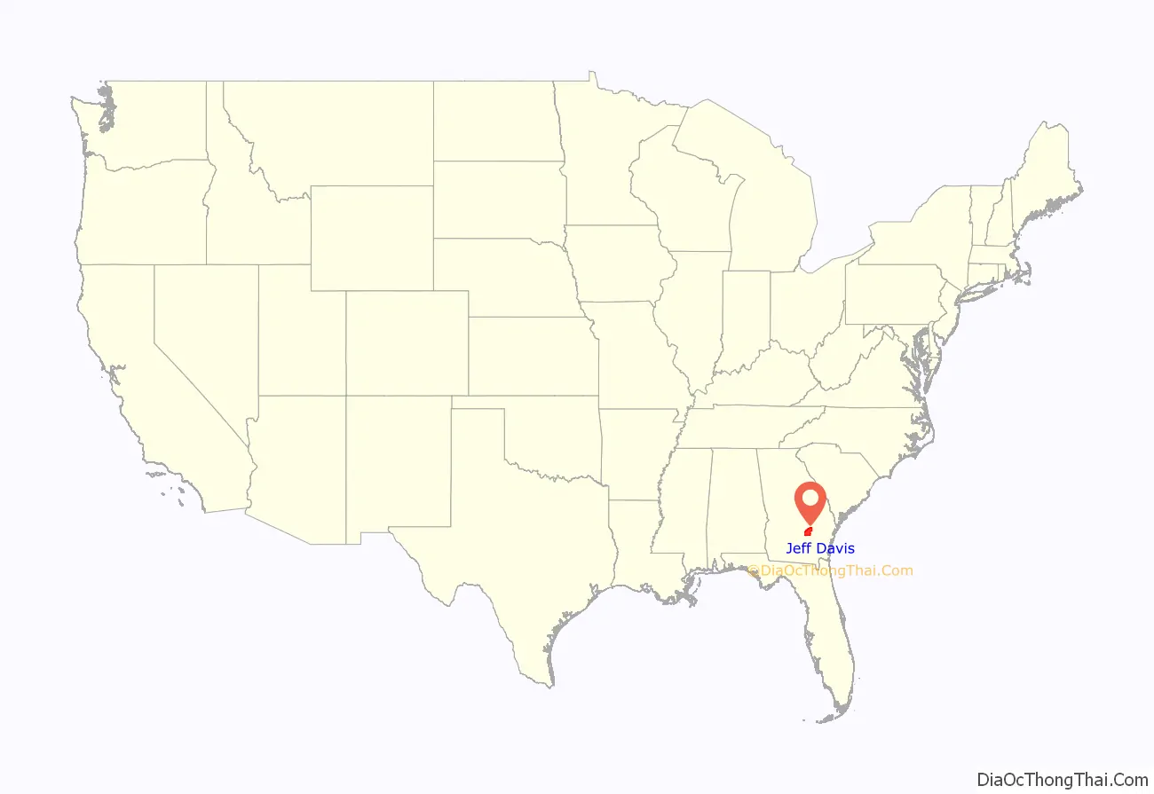
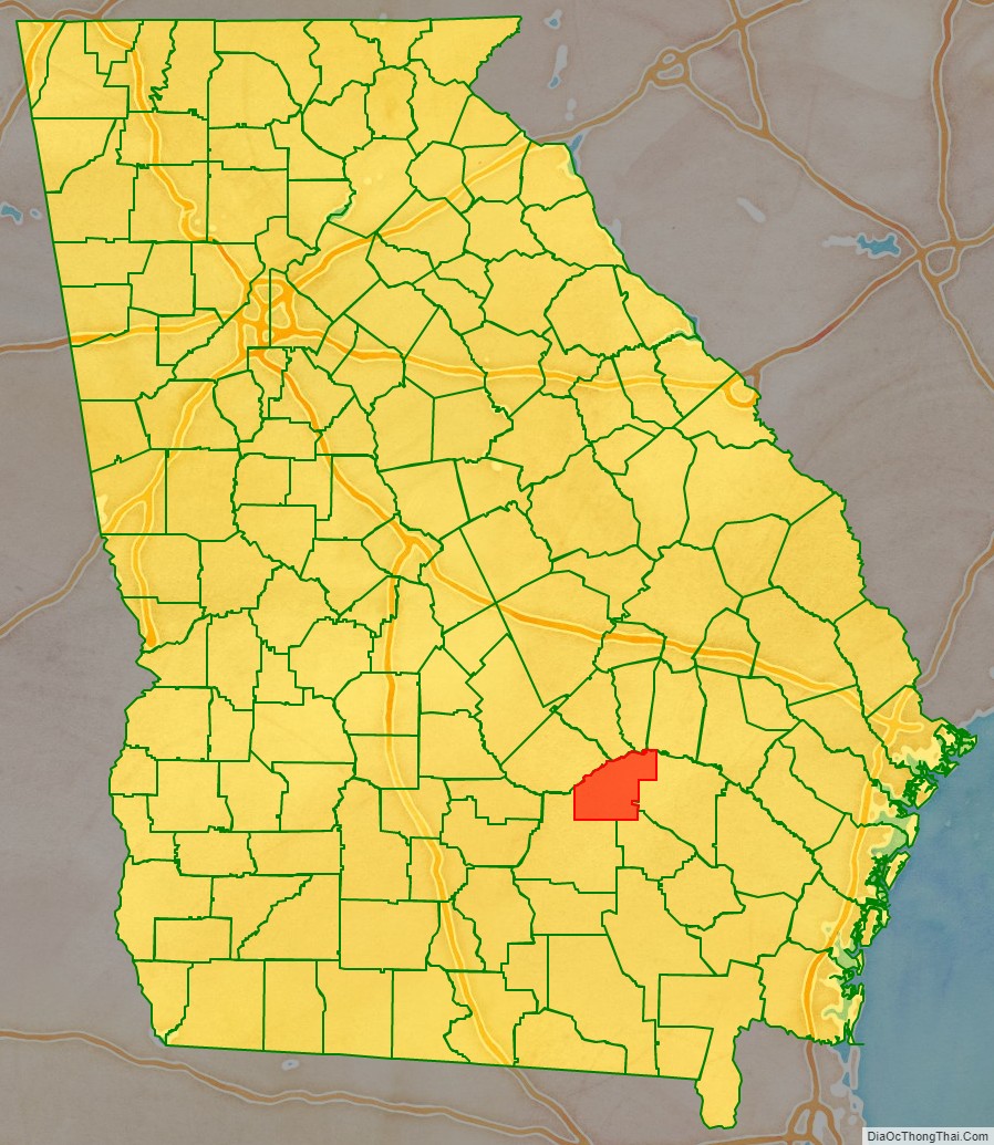
Jeff Davis County location map. Where is Jeff Davis County?
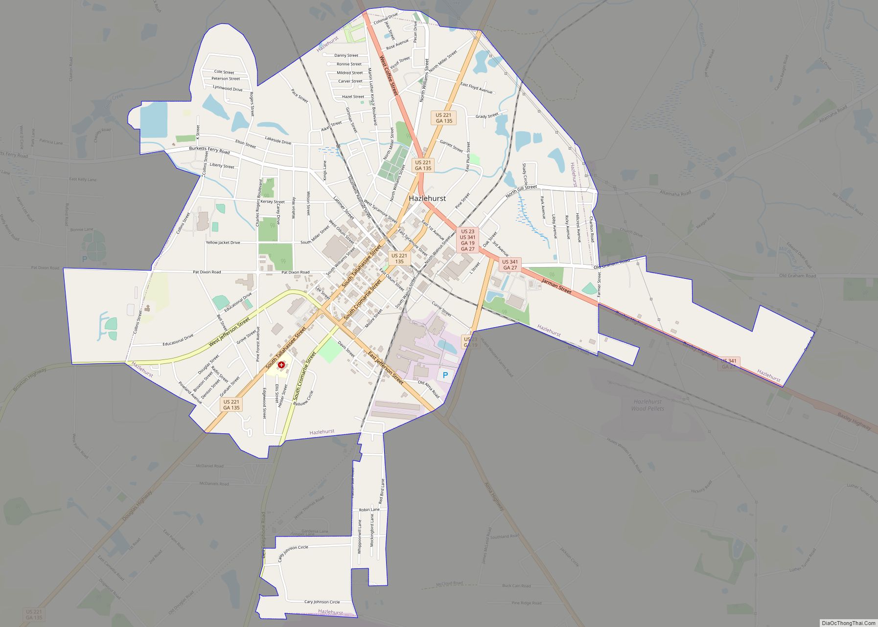
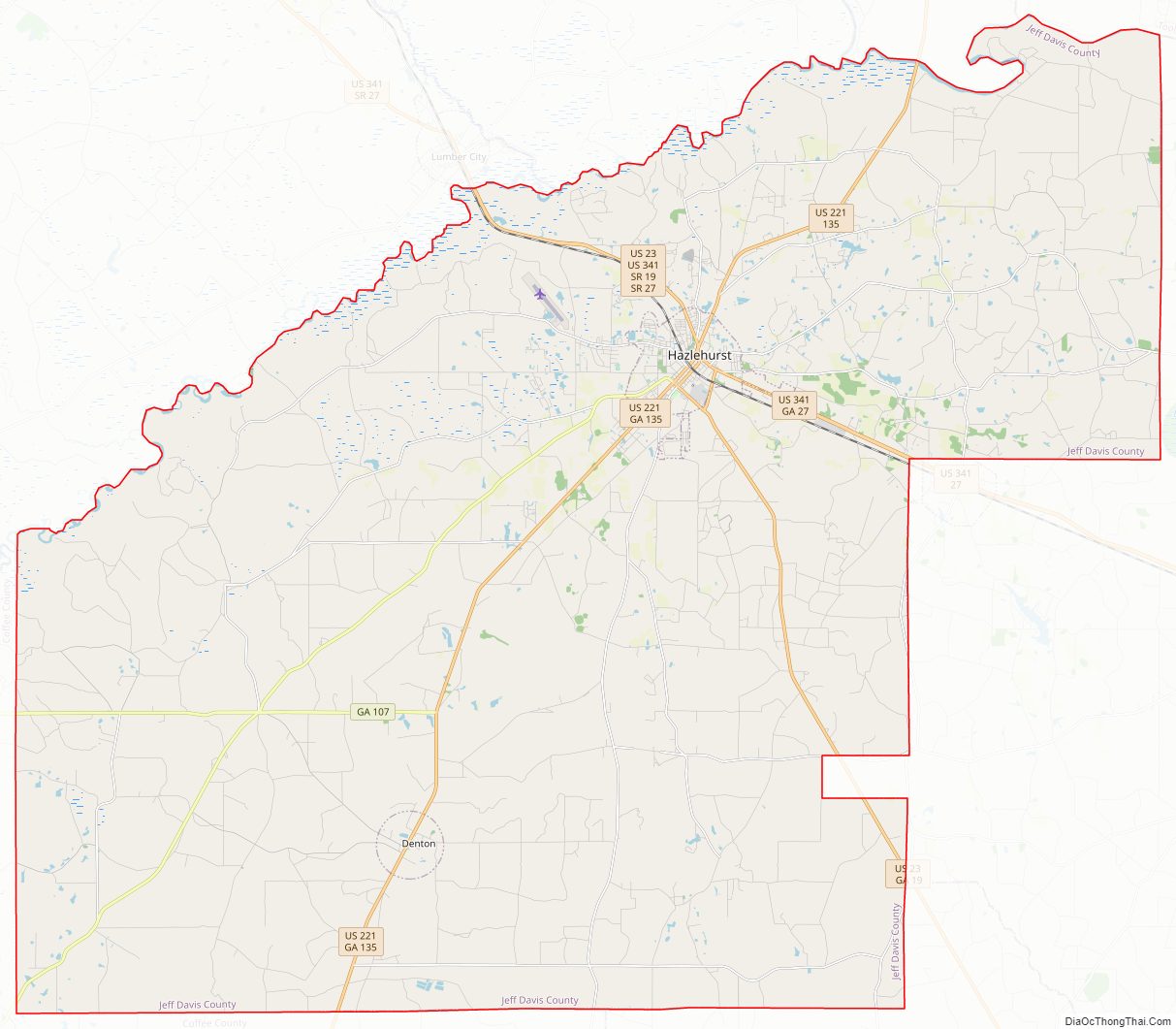
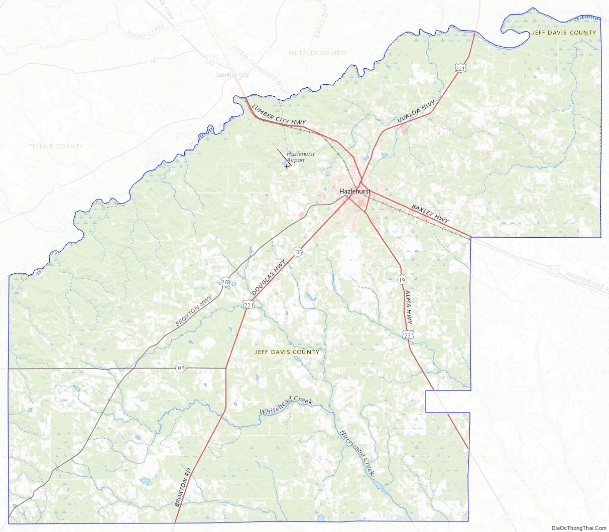
Jeff Davis County Road Map
Geography
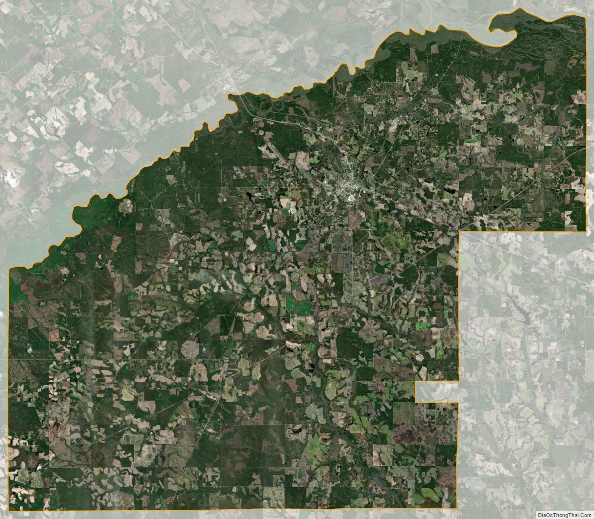
According to the U.S. Census Bureau, the county has a total area of 335 square miles (870 km), of which 331 square miles (860 km) is land and 4.7 square miles (12 km) (1.4%) is water.
Most of the northern border area, as well as part of the western border of Jeff Davis County, from northeast of Hazlehurst to west of Denton, is located in the Lower Ocmulgee River sub-basin of the Altamaha River basin. Most of the eastern corner of the county, east of Hazlehurst and north of Graham, is located in the Altamaha River sub-basin of the larger basin by the same name. The central and southeastern portion of Jeff Davis County, south of Hazlehurst, is located in the Little Satilla River sub-basin of the St. Marys-Satilla River basin. The remaining central and southern portion of the county is located in the Satilla River sub-basin of the St. Marys-Satilla River basin.
Major highways
- U.S. Route 23
- U.S. Route 221
- U.S. Route 341
- State Route 19
- State Route 19 Connector
- State Route 27
- State Route 107
- State Route 135
- State Route 135 Connector
- State Route 268
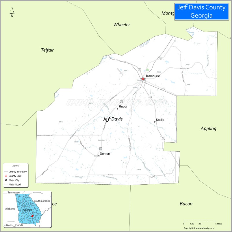
Adjacent counties
- Wheeler County (north)
- Montgomery County (northeast)
- Toombs County (northeast)
- Appling County (southeast)
- Bacon County (southeast)
- Coffee County (southwest)
- Telfair County (northwest)
Jeff Davis County Topographic Map
Jeff Davis County Satellite Map
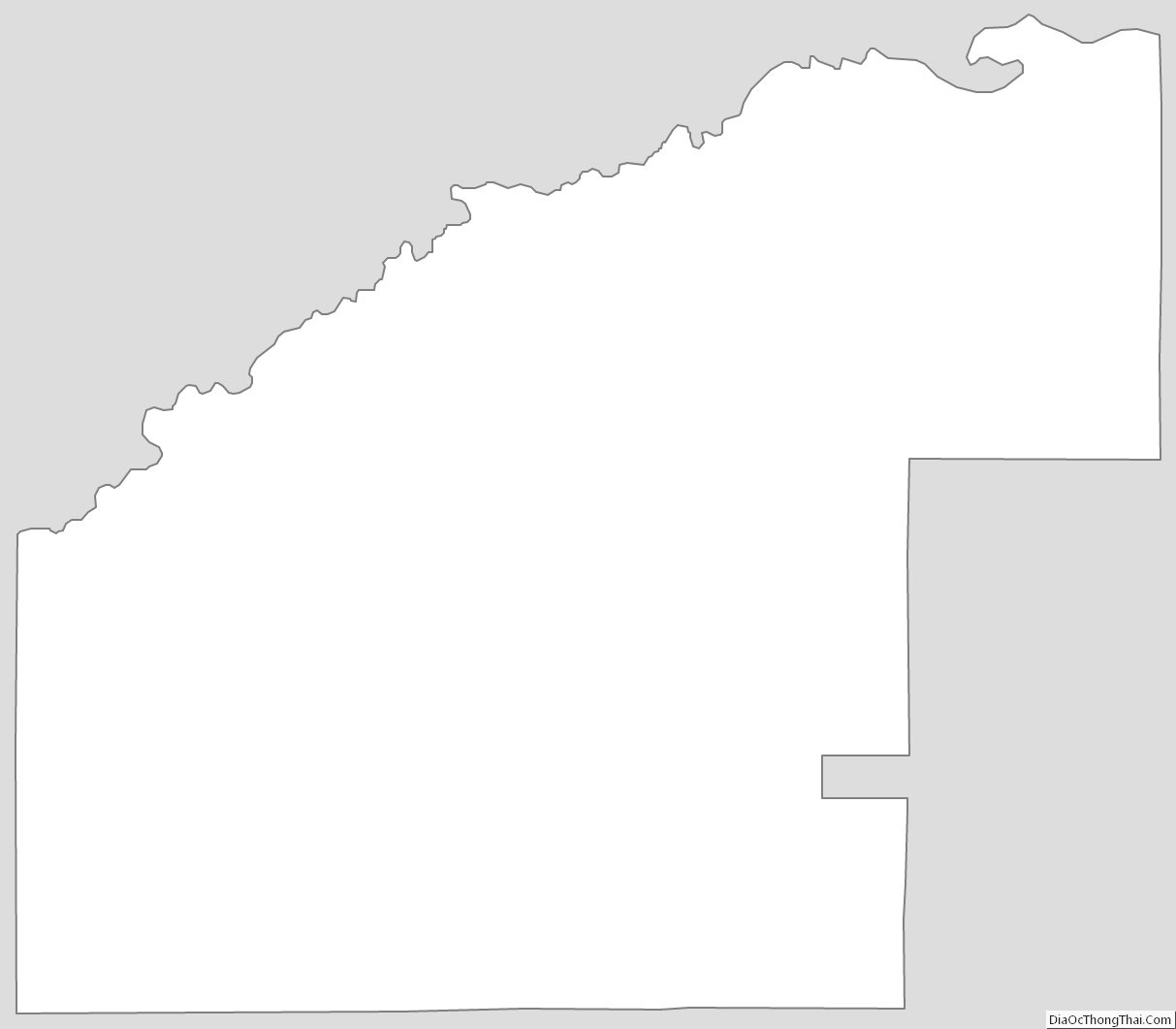
Jeff Davis County Outline Map