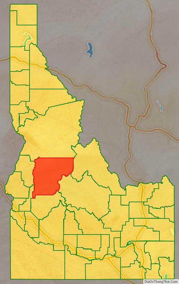
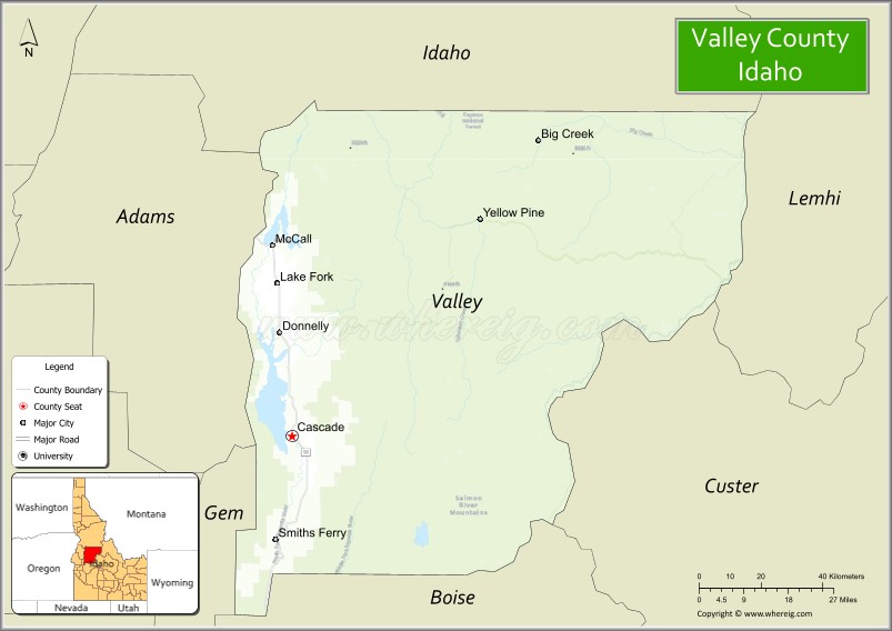
Valley County is a rural county located in the U.S. state of Idaho. As of the 2020 census, the population was 11,746. The county seat is Cascade, and the largest city is McCall. Established in 1917, it was named after the Long Valley of the North Fork of the Payette River, which extends over 30 miles (50 km) from Payette Lake at McCall south to Cascade to Round Valley. The valley was formerly a summer pasture for livestock from the Boise Valley. Since the completion of the Cascade Dam in 1948, much of the northern valley has been covered by the Cascade Reservoir.
Valley County is home to the Idaho ground squirrel.
| Name: | Valley County |
|---|---|
| FIPS code: | 16-085 |
| State: | Idaho |
| Founded: | February 26, 1917 |
| Named for: | The Long Valley of the North Fork of the Payette River |
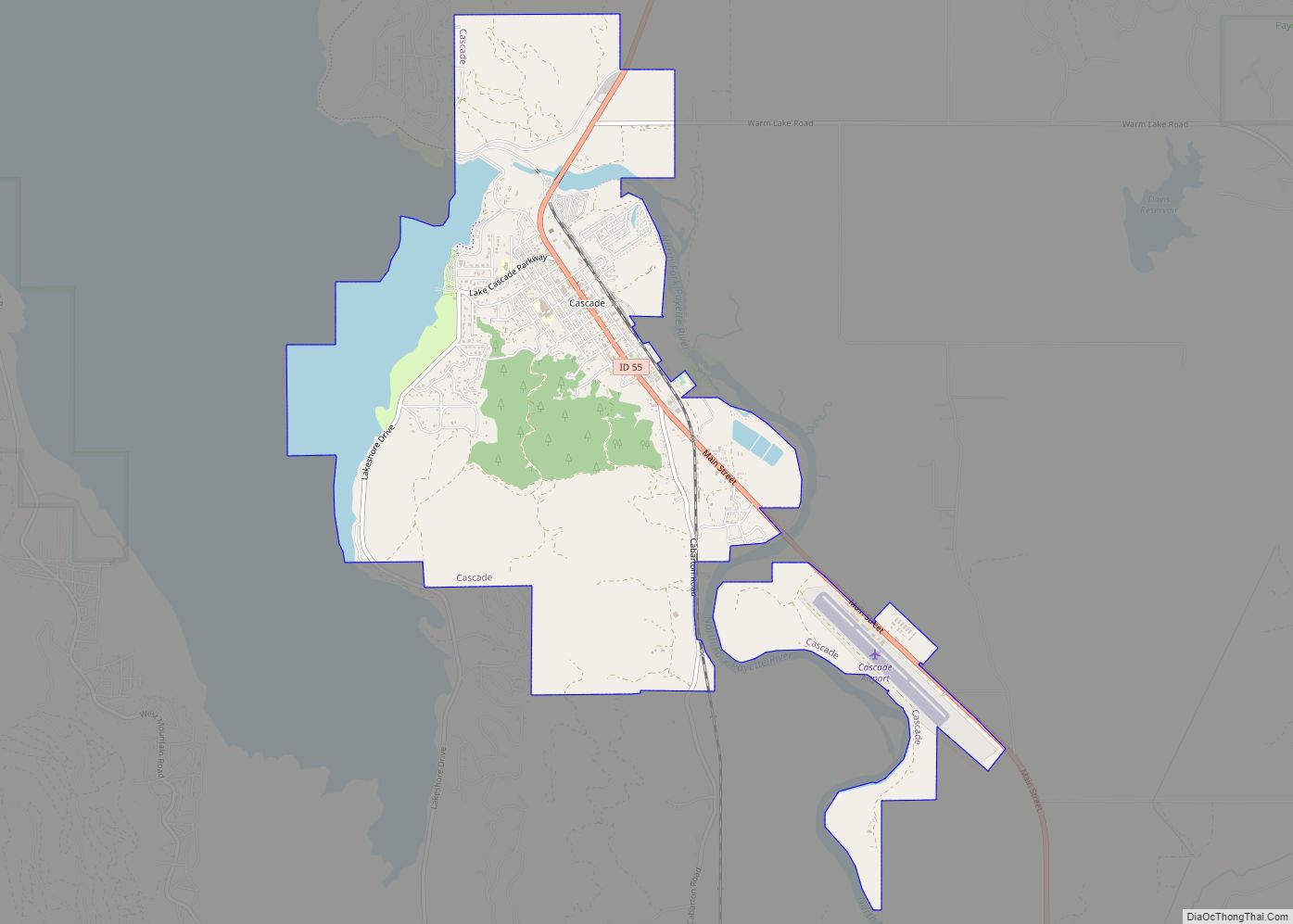
| Seat: | Cascade |
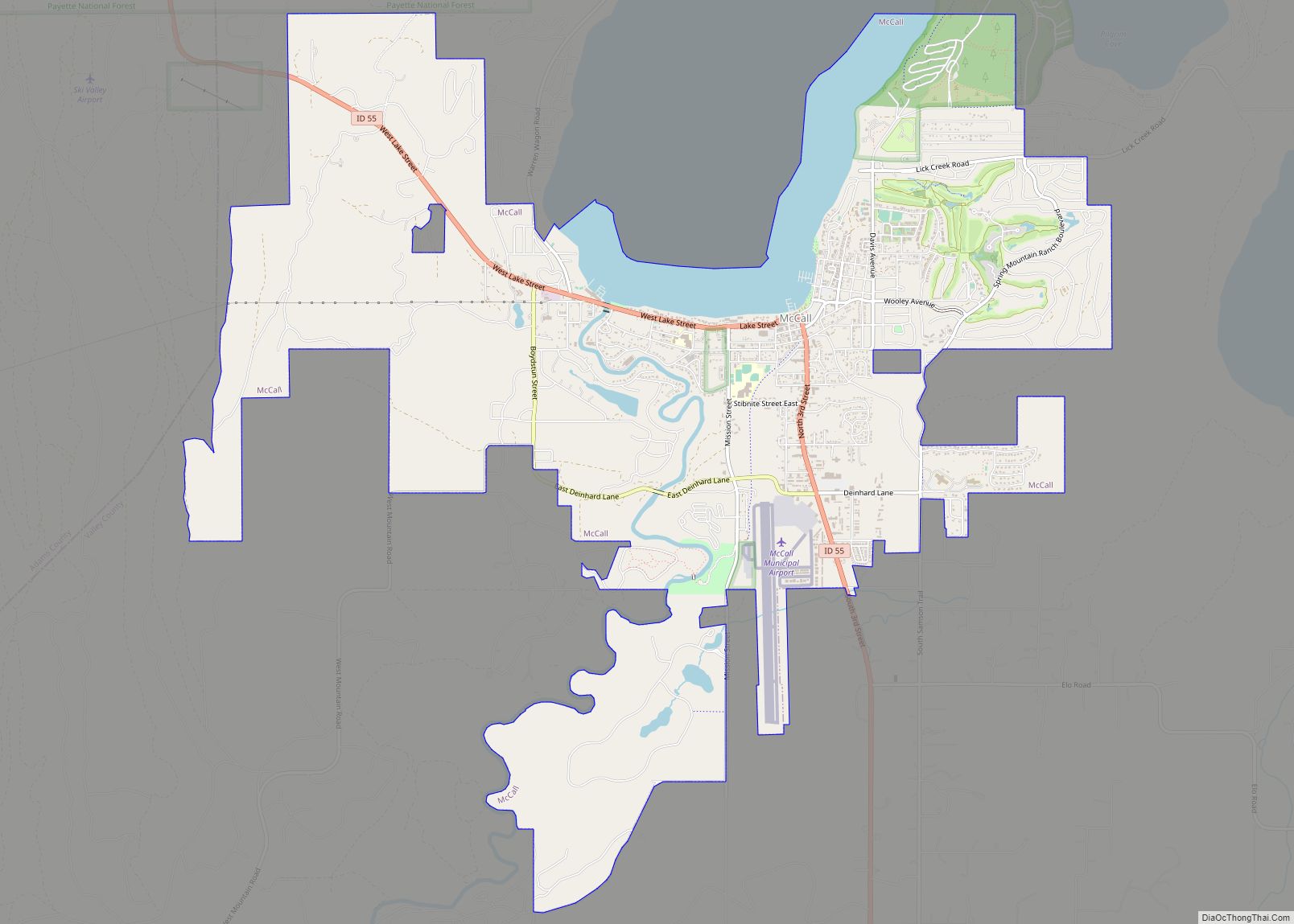
| Largest city: | McCall |
| Total Area: | 3,733 sq mi (9,670 km²) |
| Land Area: | 3,665 sq mi (9,490 km²) |
| Total Population: | 11,746 |
| Population Density: | 3.1/sq mi (1.2/km²) |
| Time zone: | UTC−7 (Mountain) |
| Summer Time Zone (DST): | UTC−6 (MDT) |
| Website: | co.valley.id.us |
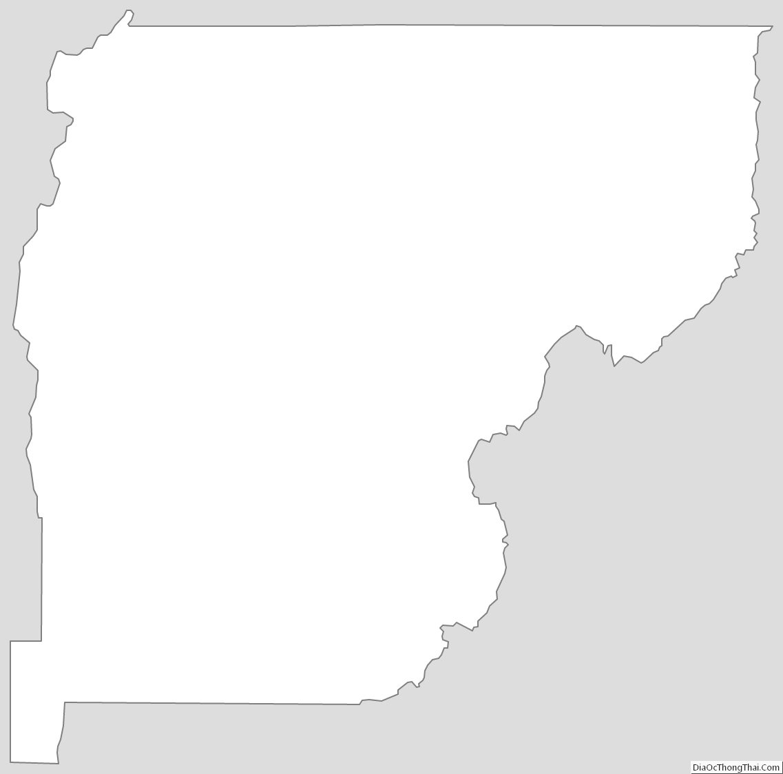
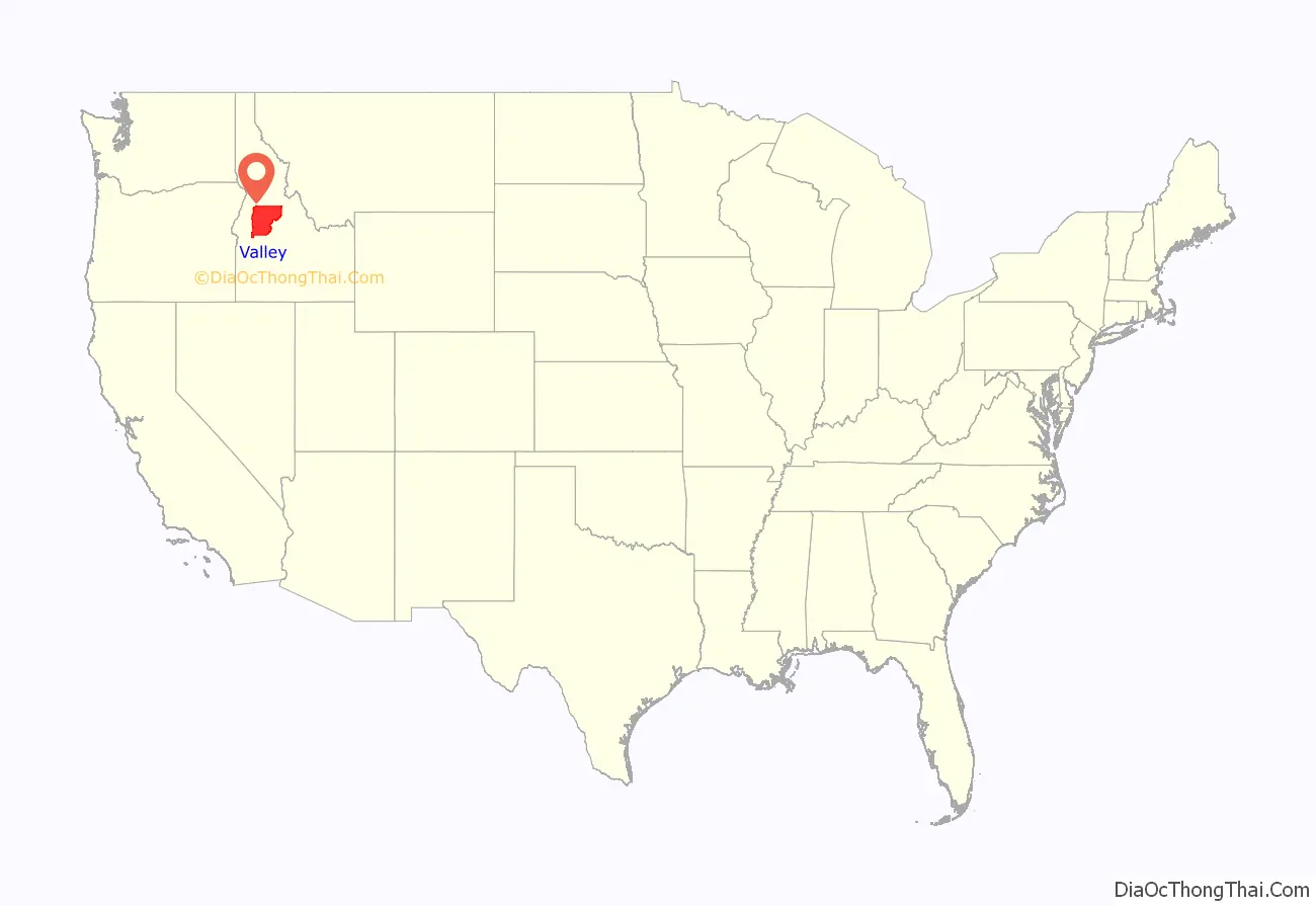
Valley County location map. Where is Valley County?
History
Packer John Welch, who had contracted to freight supplies to miners of Idaho City, established a camp on Gold Fork Creek and a brush cabin on Clear Creek in the 1860s. He also established a station near what later became the town of Cascade.
During the 1870s, prospectors and miners started searching for gold. The Clara Foltz mines opened on Paddy Flat, and other diggings commenced on Boulder and Gold Fork Creeks. In the late 1870s, the last of the Sheepeater Tribe was removed from Long Valley and Round Valley to a reservation. As the gold sources dwindled, a few of the miners took up squatter’s rights. James Horner built a cabin on Clear Creek in 1881, other miners settled on the Payette River.
Also in 1888, the first post offices in Valley County were opened at VanWyck, another one opened at Lardo in 1889. That same year Louis McCall and other settlers took squatter’s rights on Payette Lake. Their homesteads were the nucleus of what would later become the town of McCall. A freight stop was established at Lardo to service the increased mining activity at Warren Meadows.
The 1890 census stated 538 people resided in the VanWyck precinct, and 110 resided in the Alpha precinct. Land survey maps drawn in the 1890s show four schools. The maps also point out sawmills at Warner’s Pond and on Gold Fork Creek. A small reservoir near VanWyck can also be seen on them. The 1890s were a period of strife for the new settlers. Ranchers from south of Long Valley annually brought their large herds of cattle to graze in Long Valley. The homesteaders resented the intrusion and retaliated on several occasions by slaughtering the outsiders’ cattle.
Gold was first discovered in the Thunder Mountain area in 1893, W.H. Dewey began mining on a large scale in 1902. As many as 3,000 miners swarmed into the region.
From the 1910s onwards, logging became, along with farming and ranching, the economic mainstay of Long Valley. Towns distant from the railroad, such as Alpha, Crawford and Roseberry, soon lost their vitality and died. Towns near the railroad, such as Cascade, Donnelly and McCall, thrived and became the population centers of Valley County.
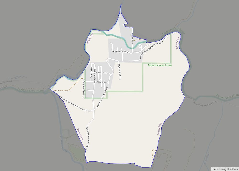
The Stibnite Mining District, located near Yellow Pine, was critical to the country’s war effort during World War II.
Valley County Road Map
Geography
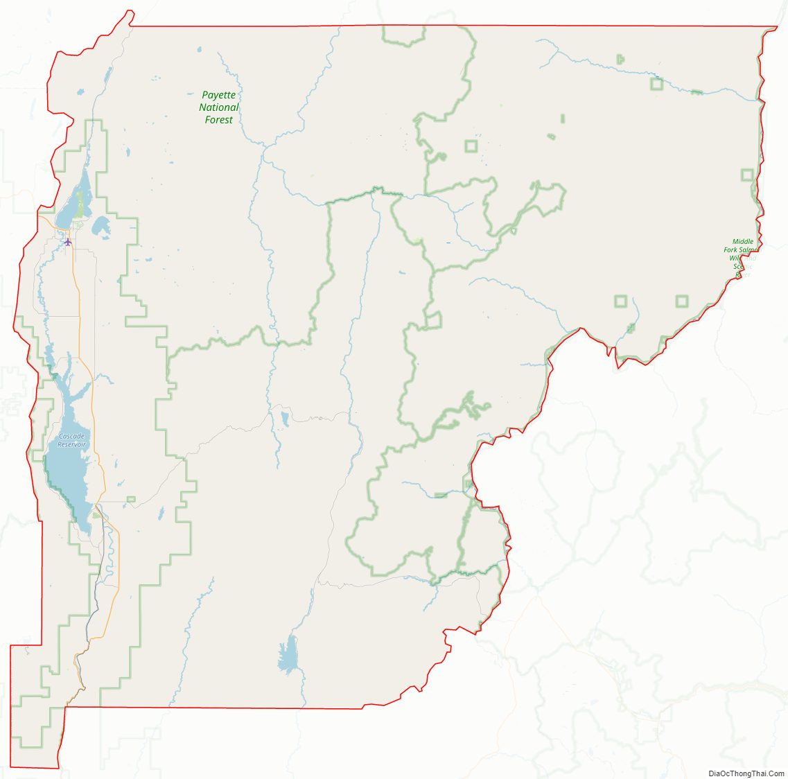
According to the U.S. Census Bureau, the county has a total area of 3,733 square miles (9,670 km), of which 3,665 square miles (9,490 km) is land and 68 square miles (180 km) (1.8%) is water. It is the fifth-largest county in Idaho by area.
Adjacent counties
- Idaho County – north
- Adams County – west
- Gem County – southwest
- Boise County – south
- Custer County – east
- Lemhi County – east
National protected areas
- Boise National Forest (part)
- Payette National Forest (part)
- Salmon-Challis National Forest (part)
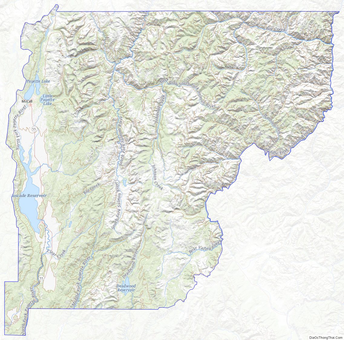
Valley County Topographic Map
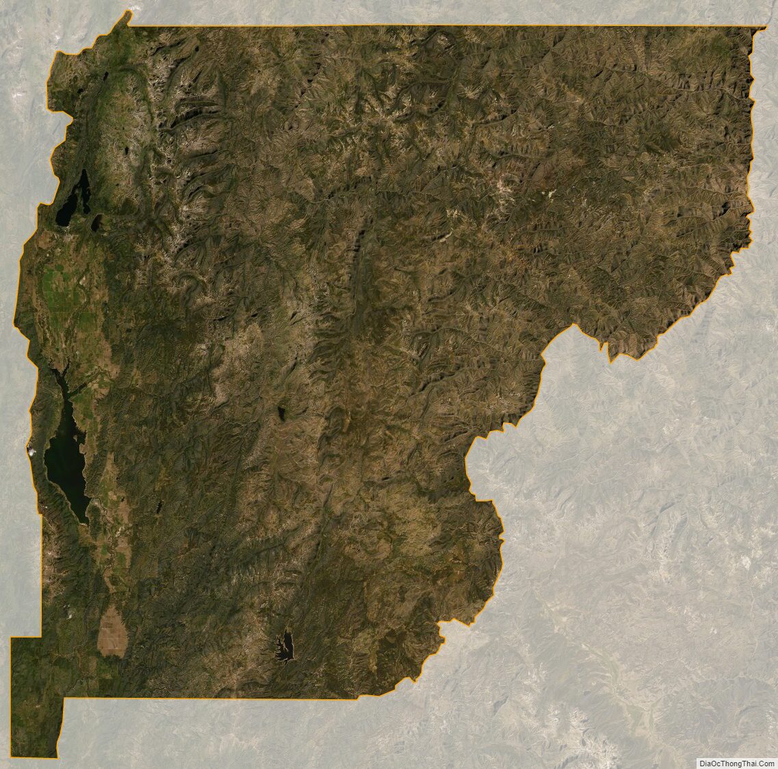
Valley County Satellite Map
Valley County Outline Map