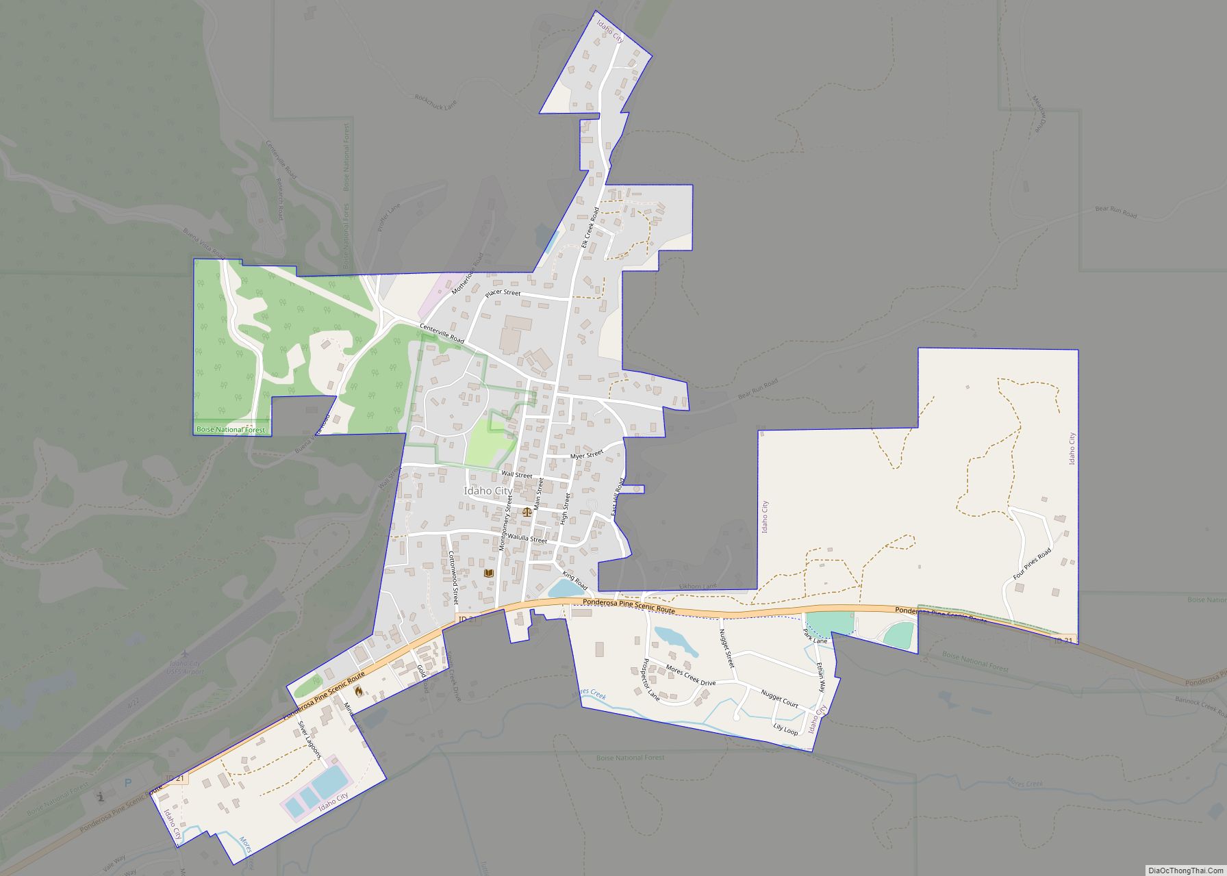
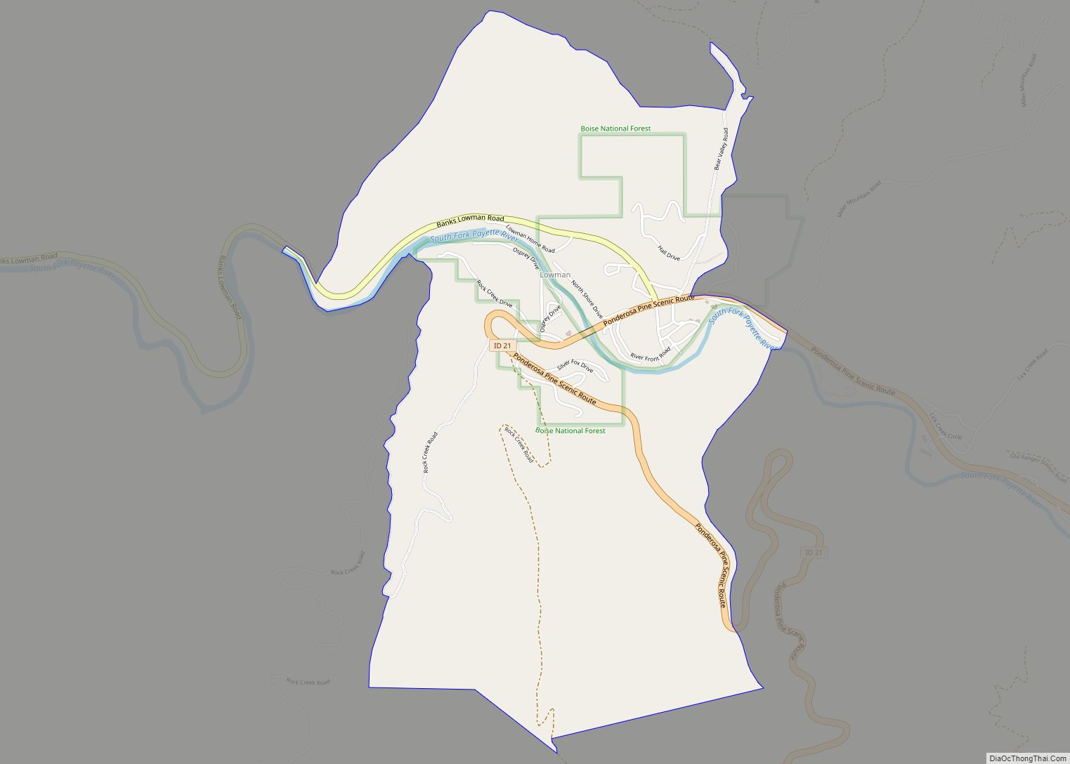
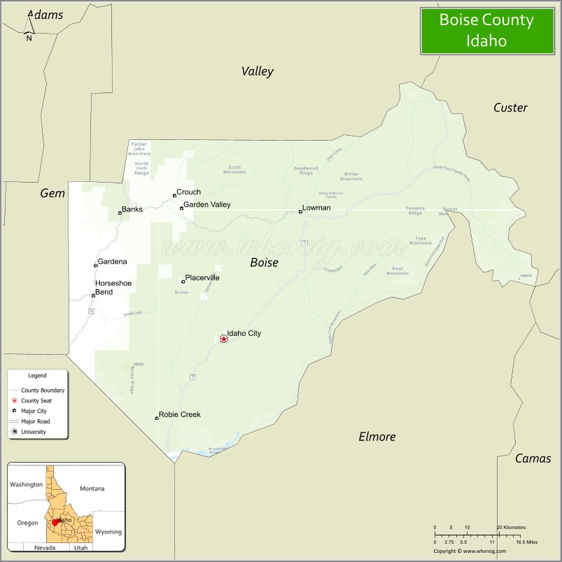
Boise County is a rural mountain county in the U.S. state of Idaho. As of the 2020 United States Census, the population was 7,610. The county seat is historic Idaho City, which is connected through a series of paved and unpaved roads to Lowman, Centerville, Placerville, Pioneerville, Star Ranch, Crouch, Garden Valley, and Horseshoe Bend.
Boise County is part of the Boise, ID Metropolitan Statistical Area.
The Bogus Basin ski area is in the southwestern part of the county. The county’s eastern area contains the central section of the Sawtooth Wilderness, the western part of the Sawtooth National Recreation Area.
In 2010, the center of Idaho’s population was in Boise County.
| Name: | Boise County |
|---|---|
| FIPS code: | 16-015 |
| State: | Idaho |
| Founded: | February 4, 1864 |
| Named for: | Boise River |
| Seat: | Idaho City |
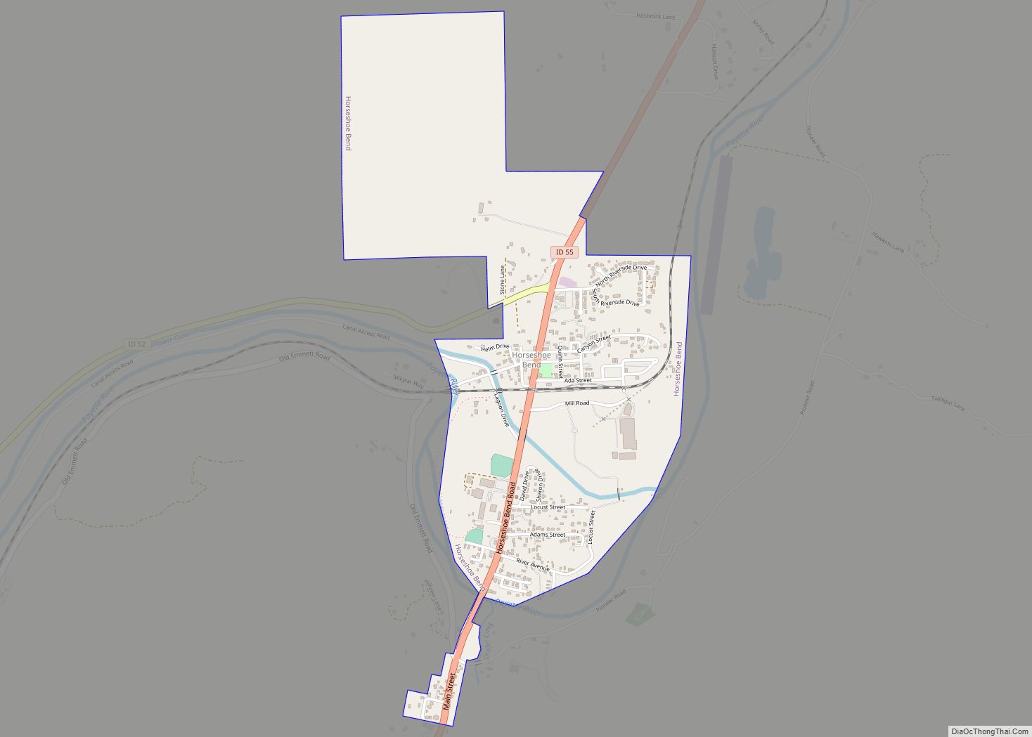
| Largest city: | Horseshoe Bend |
| Total Area: | 1,907 sq mi (4,940 km²) |
| Land Area: | 1,899 sq mi (4,920 km²) |
| Total Population: | 7,610 |
| Population Density: | 3.7/sq mi (1.4/km²) |
| Time zone: | UTC−7 (Mountain) |
| Summer Time Zone (DST): | UTC−6 (MDT) |
| Website: | www.boisecounty.us |
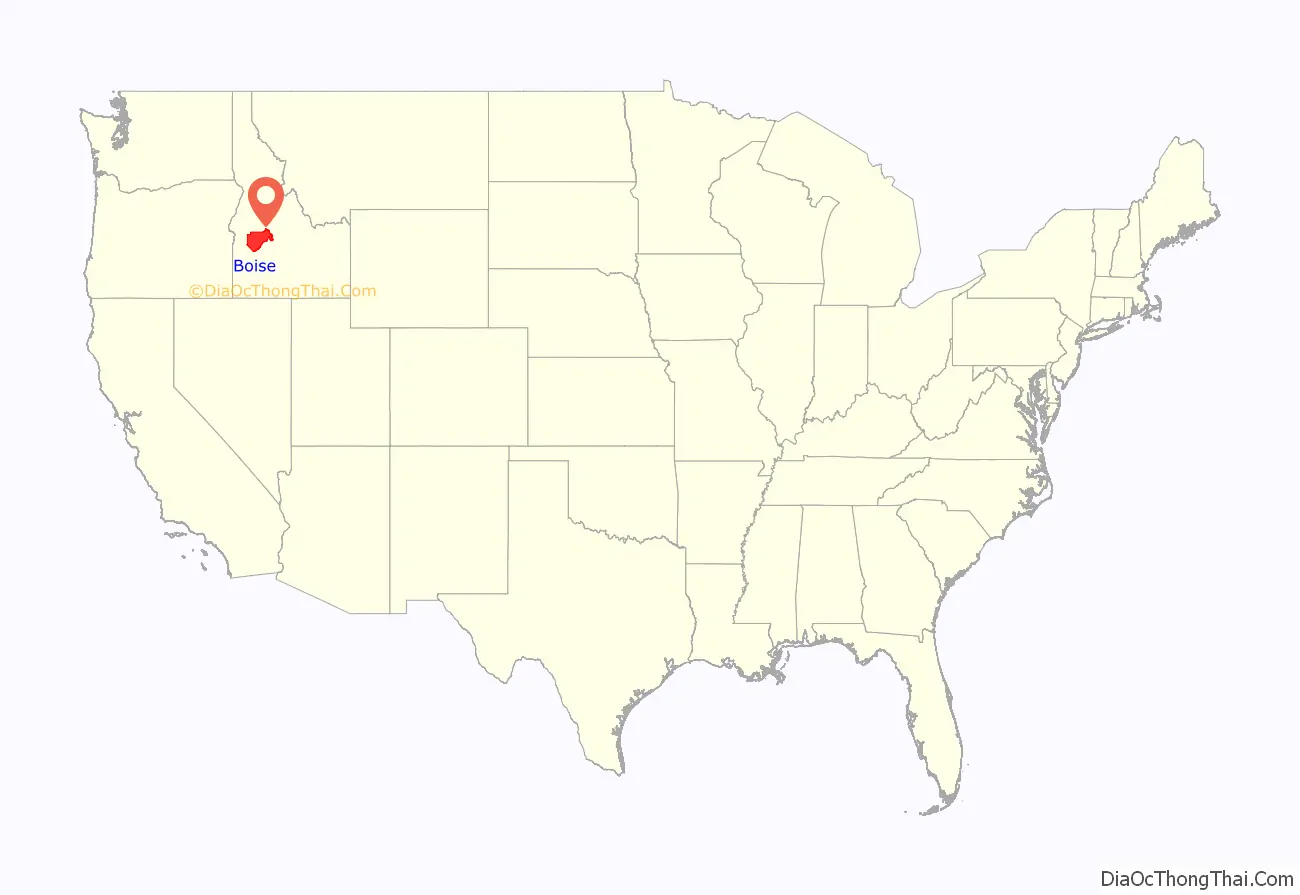
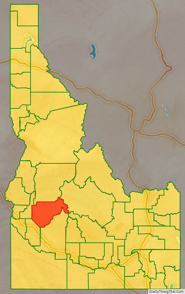
Boise County location map. Where is Boise County?
History
The county was established on February 4, 1864, with its county seat at Idaho City. It was named for the Boise River, which was named by French-Canadian explorers and trappers for the great variety of trees growing along its banks in the lower desert valley. The county is one of four Idaho counties that also existed under Washington Territory. On January 12, 1863, The Washington territorial legislature established the county containing most of Idaho below 114° 30′, excluding the territory lying west of the Payette River. They established its county seat at what later became Idaho City.
The Boise Basin, which contains Idaho City, was one of the nation’s richest gold mining districts; gold was discovered in 1862, and more of it was pulled from present-day Boise County than from the entire state of Alaska. At its peak in the mid-1860s, Idaho City was the largest city in the Northwest, and it was this rapid population influx that led to the establishment of the Idaho Territory in 1863. The lower–elevation communities of Horseshoe Bend (Payette River) and Boise (Boise River) were staging areas for the Boise Basin mines.
The county’s boundaries changed several times during Idaho’s territorial period. Owyhee County (Idaho’s oldest) and a portion of Oneida County were carved from the southern and eastern portion of the county as it existed under Washington Territory in late December 1863 and January 1864. When Idaho Territory established the county in February 1864, it contained all of present Ada, Canyon, and Payette counties. It also included most of present Boise and Gem Counties, the southern half of Washington County, and small portions of Adams, Custer, Owyhee, and Valley counties.
When Ada County was created in December 1864, most of that territory was transferred to Ada County, leaving only small portions of Custer, Gem, Payette, Valley, and Washington counties together with most of present-day Boise County. The Boise River portion of the current western boundary was established by 1866. The southern boundary common to present Ada County was defined the following year. The northern boundary was most volatile Between 1873 and 1887 with the boundary shifting further north into Valley County, back south below Cascade, and then again north to include the North Fork of Payette River Basin. The county obtained its current boundary after Gem County was created in 1915 and Valley County in 1918.
In March 2011, the county filed a Chapter 9 bankruptcy petition due to judgment against the county for violating the Fair Housing Act. The county’s petition for Chapter 9 relief was denied.
Boise County Road Map
Geography
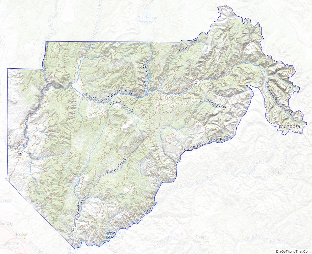
According to the U.S. Census Bureau, the county has an area of 1,907 square miles (4,940 km), of which 1,899 square miles (4,920 km) is land and 7.4 square miles (19 km) (0.4%) is water. The highest point in the county is Thompson Peak at 10,751 feet (3,277 m), on its eastern border in the Sawtooth Wilderness. The county’s lowest point is on the Payette River, on its western border with Gem County, at approximately 2,500 feet (760 m).
The elevated central basin area rises 1,700 feet (520 m) higher than Horseshoe Bend for instance and thus receives significantly more snow during the winter. Star Ranch, Placerville, and Centerville average 4,300 feet (1,310 m) above sea level whereas Horseshoe Bend is 1,700 feet (520 m) lower, Garden Valley is 1,157 feet (355 m) lower, and Idaho City is 400 feet (120 m) lower. Snow volumes around the county are best illustrated by the county Snow Load Map. Placerville roofs must be designed to withstand 150 pounds per square foot of snow whereas Horseshoe Bend is a third of that at 52.
Adjacent counties
- Valley County – north
- Custer County – east
- Elmore County – south
- Ada County – southwest
- Gem County – northwest
National protected areas
- Boise National Forest (part)
- Sawtooth National Recreation Area (part)
- Sawtooth Wilderness (part)
Major highways
- SH-21 – Ponderosa Pine Scenic Byway
- SH-52
- SH-55 – Payette River Scenic Byway
The county’s two primary routes are scenic byways. Both are two-lane undivided highways for most of their length. The Ponderosa Pine Scenic Byway on State Highway 21 climbs northeast from Boise to Idaho City and Lowman, and ends at Stanley in Custer County, at the junction with State Highway 75. The Payette River Scenic Byway on State Highway 55 is a designated national scenic byway. It heads north from Eagle to Horseshoe Bend and climbs the whitewater of the Payette River to Cascade and McCall in Valley County, and ends at New Meadows in Adams County, at the junction with US Route 95.
The closest thing to a traffic signal in Boise County is a flashing red light for Highway 52 where it meets Highway 55, in Horseshoe Bend. Highway 55 has a flashing yellow.
- Highway 52 & Highway 55 Horseshoe Bend
Boise County Topographic Map
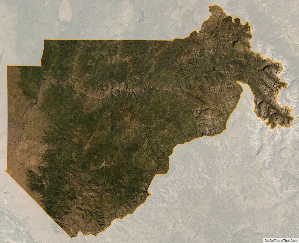
Boise County Satellite Map
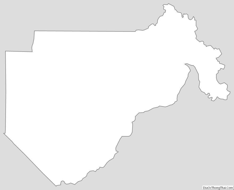
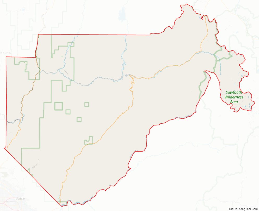
Boise County Outline Map