Warren County is a county located in the south central portion of the U.S. state of Kentucky. As of the 2020 census, the population was 134,554, making it the fifth-most populous county in Kentucky. The county seat is Bowling Green. Warren County is now classified as a wet county after voters approved the measure in 2018. The measure became law in January 2019 that allows alcohol to be sold county wide.
Warren County is included in the Bowling Green, KY Metropolitan Statistical Area. It is located in the Pennyroyal Plateau and Western Coal Fields regions.
| Name: | Warren County |
|---|---|
| FIPS code: | 21-227 |
| State: | Kentucky |
| Founded: | December 19, 1796 |
| Named for: | Joseph Warren |
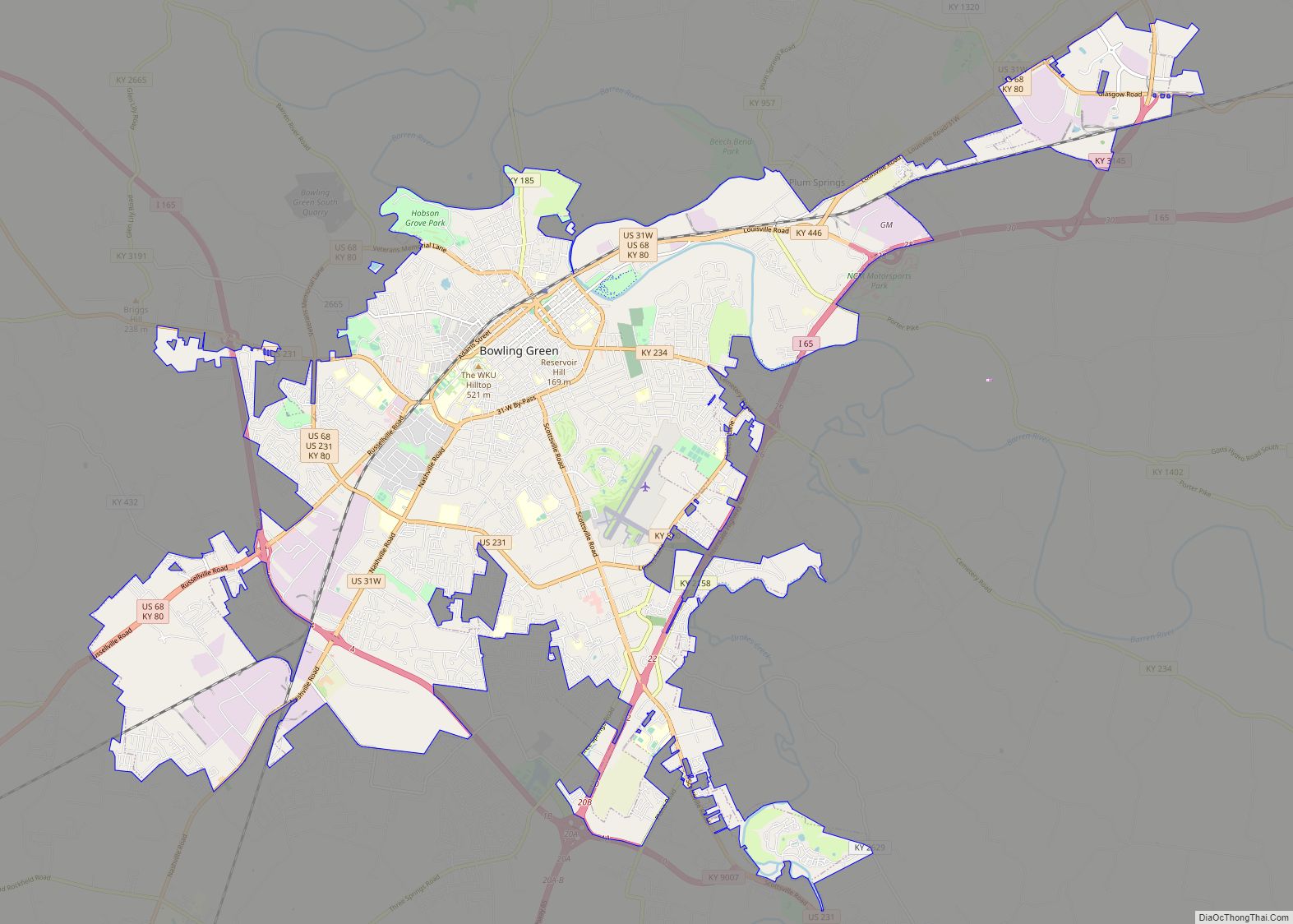
| Seat: | Bowling Green |
| Largest city: | Bowling Green |
| Total Area: | 548 sq mi (1,420 km²) |
| Land Area: | 542 sq mi (1,400 km²) |
| Total Population: | 134,554 |
| Population Density: | 250/sq mi (95/km²) |
| Time zone: | UTC−6 (Central) |
| Summer Time Zone (DST): | UTC−5 (CDT) |
| Website: | www.warrencountyky.gov |
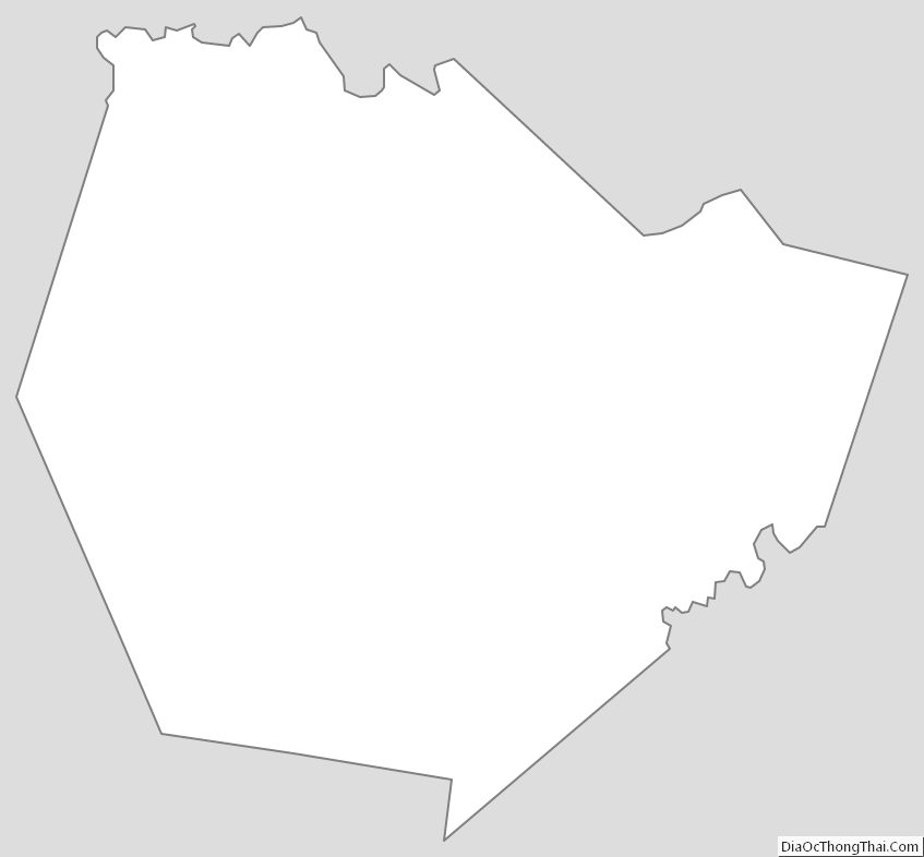
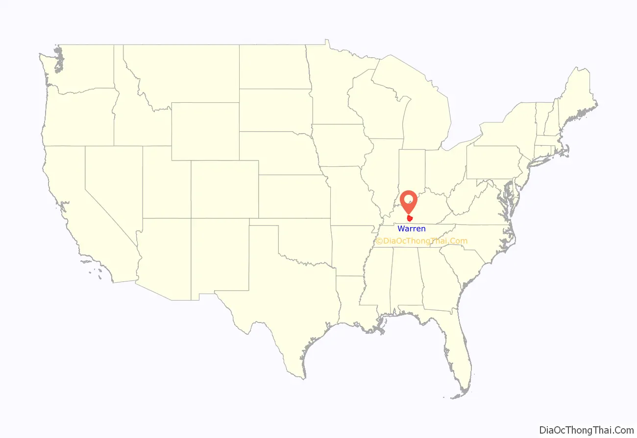
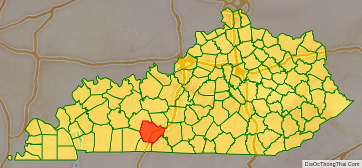
Warren County location map. Where is Warren County?
History
Warren County was the location of several Native American villages and ancient burial mounds constructed by earlier cultures. The first white men to enter the area were the long hunters in the 1770s. General Elijah Covington was among the first landowners. McFadden’s Station, one of the earliest settlements, was established in 1785 by Andrew McFadden/McFadin on the northern bank of the Barren River at the Cumberland Trace.
Warren County became the 23rd county of Kentucky in 1796, from a section of Logan County. It was named after General Joseph Warren of the Revolutionary War. He dispatched William Dawes and Paul Revere on their famous midnight ride to warn residents of the approaching British troops. He was also a hero of the Battle of Bunker Hill.
Through the riverboat trade, Warren County thrived in the agricultural market. In 1859, the Louisville and Nashville Railroad (currently CSX Transportation) was laid through the county.
During the Civil War, most residents are said to have favored the Union. Because of its strategic value Warren County was occupied by Confederate forces in September 1861. It was occupied in turn by the Union Army on February 14, 1862, following the Confederate retreat to Tennessee. During the Confederate withdrawal, they destroyed railroad bridges in Barren County, the Bowling Green train depot and other railroad buildings to hinder Union pursuit.
The completion of Interstate 65 and Green River Parkway, later renamed the William H. Natcher Parkway, (and in 2019 was renamed as the I-165) in the 1960s and 1970s, brought an industrial boom that transformed the farm-oriented county into a more urban one.
In 1997, Bowling Green became a Tree City USA, sponsored by the National Arbor Day Foundation.
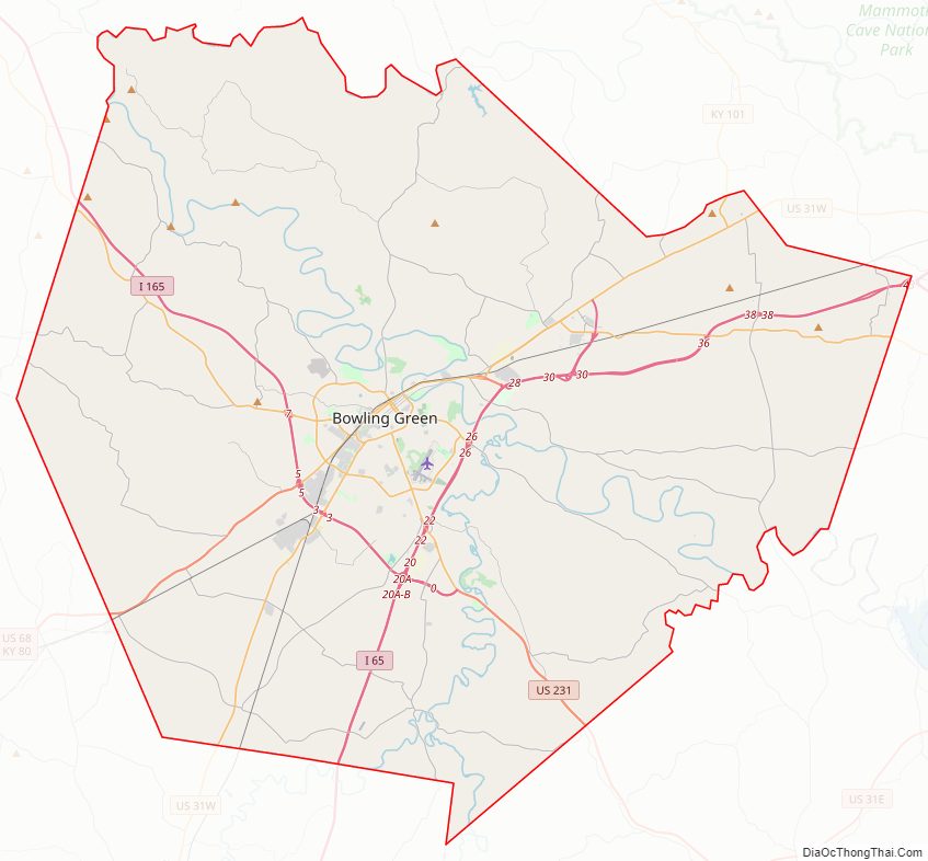
Warren County Road Map
Geography
According to the United States Census Bureau, the county has a total area of 548 square miles (1,420 km), of which 542 square miles (1,400 km) is land and 6.0 square miles (16 km) (1.1%) is water.
Geographic features
The Green River forms the northern boundary of the county, and was a means of transportation for settlers. Tributaries of the Green River that flow through Warren County are the Barren and Gasper rivers, Drake’s and Jennings creeks and Bay’s Fork. In the north the land is possibly the most rugged, since it lies between the Green and Barren rivers, with very tall ridges near Riverside and Richardsville. The major drainage in Warren county is Barren River, which flows through Bowling Green and is surrounded by steep ridges in some areas. Several sizable hills rise in Bowling Green proper. They were favored for forts and other development: a reservoir, hospital, and Civil War fort were built on one; much of Western Kentucky University’s campus on another; Hobson Grove, a historic Italian Renaissance style civil war era plantation estate on another; and a second civil war fort on another. In the east the land is rolling (much like central Kentucky’s landscape) near Drakes Creek. The land in the south and southwest of the county is predominantly flat. In the western side of the county, the land is hilly with steep ridges and rocky and cliff-ridden near Gasper River. Shanty Hollow Lake is in the northwest corner of the county.
The flat elevated areas in the west and the flatland in the south and southwest have soil that is fertile and supports tobacco, hay, corn and soybean crop production. The rest of the land is predominantly clay soil; it is rocky and not very suitable for agriculture. Many residents rear livestock and horses, or hunt in these areas.
Major highways
- Interstate 65
- Interstate 165
- U.S. 231
- U.S. 31-W
- U.S. 68
- KY 80
- KY 185
- KY 234
- KY 880
Adjacent counties
- Butler County – northwest
- Edmonson County – northeast
- Barren County – east
- Allen County – southeast
- Simpson County – south
- Logan County – southwest
Warren County Topographic Map
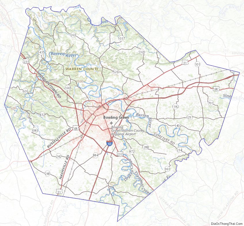
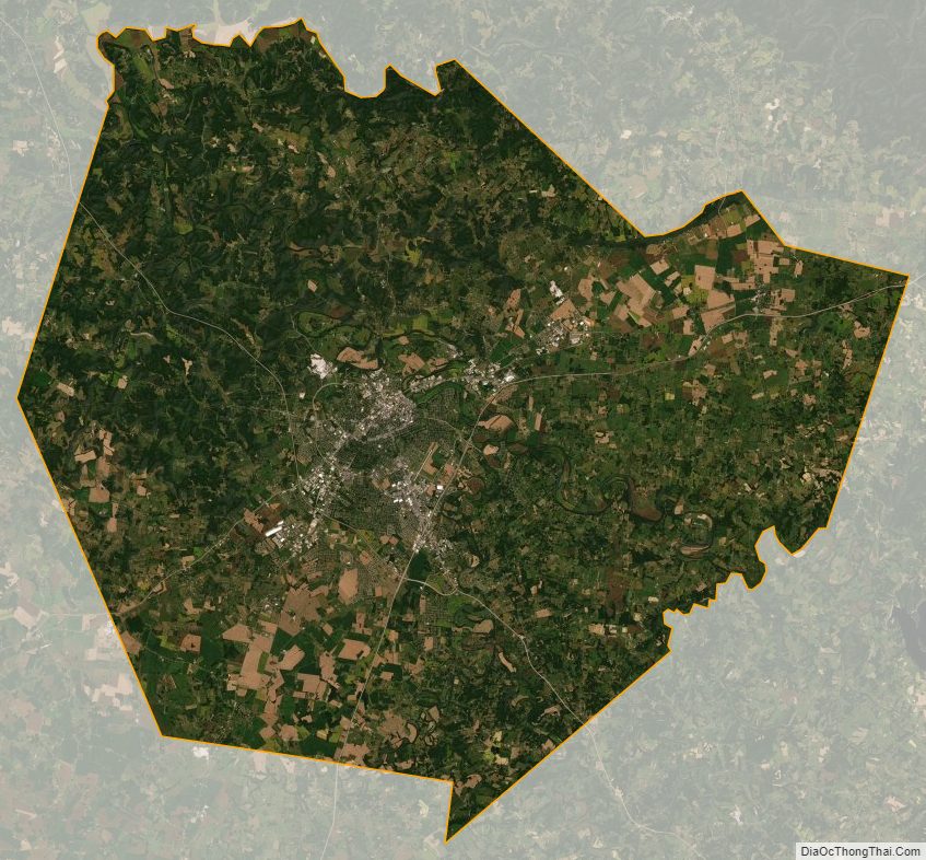
Warren County Satellite Map
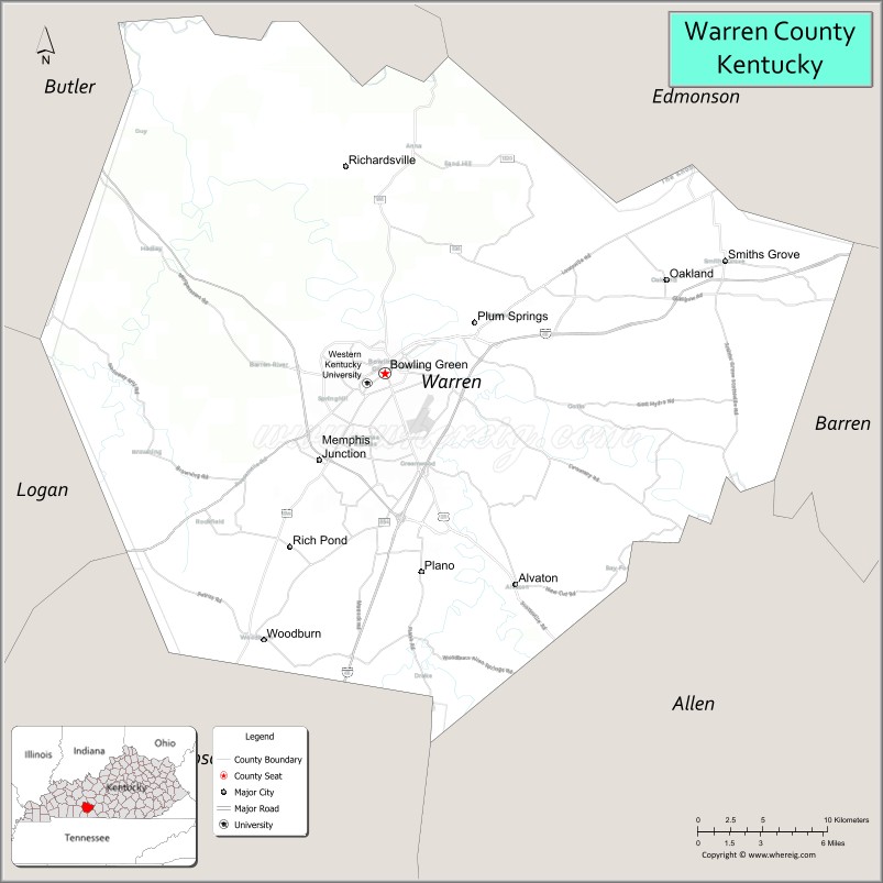
Warren County Outline Map