Butler County is a county located in the US state of Kentucky. As of the 2020 Census, the population was 12,371. Its county seat is Morgantown. The county was formed in 1810, becoming Kentucky’s 53rd county. Butler County is included in the Bowling Green, Kentucky, Metropolitan Statistical Area.
| Name: | Butler County |
|---|---|
| FIPS code: | 21-031 |
| State: | Kentucky |
| Founded: | January 18, 1810 |
| Named for: | Richard Butler |
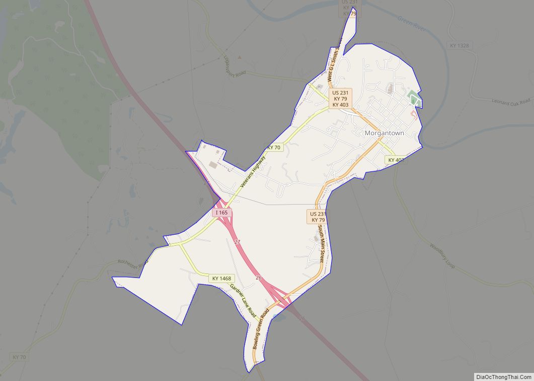
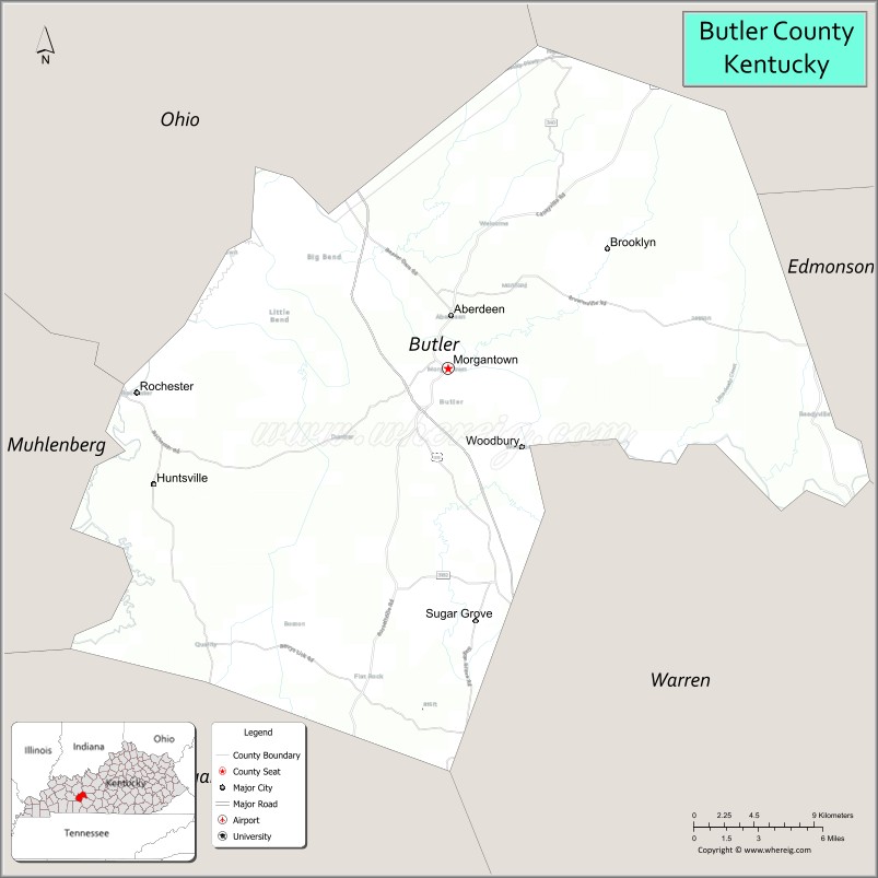
| Seat: | Morgantown |
| Largest city: | Morgantown |
| Total Area: | 431 sq mi (1,120 km²) |
| Land Area: | 426 sq mi (1,100 km²) |
| Total Population: | 12,371 |
| Population Density: | 29/sq mi (11/km²) |
| Time zone: | UTC−6 (Central) |
| Summer Time Zone (DST): | UTC−5 (CDT) |
| Website: | www.butlercounty.ky.gov |
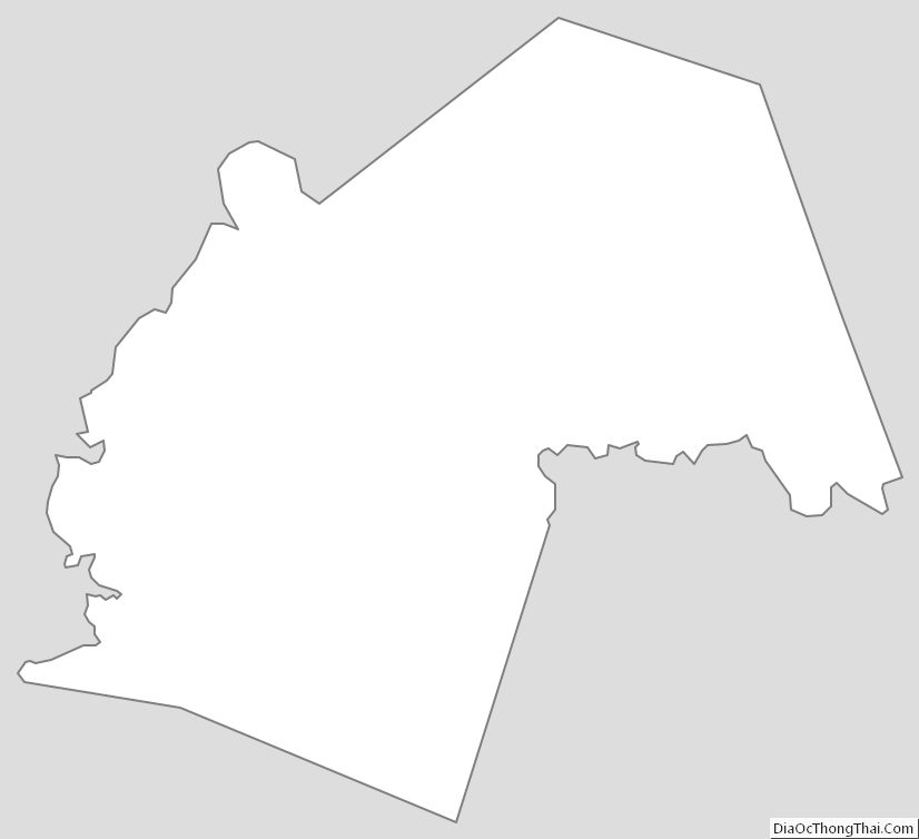
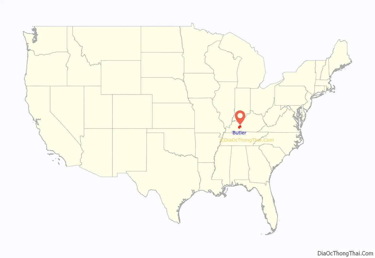
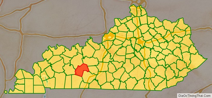
Butler County location map. Where is Butler County?
History
Numerous archaeological sites are located along the Green River in Butler County. A 1932 survey found nine sites, many of which were a group of shell mounds, including the Carlston Annis and DeWeese Shell Mounds.
The area now known as Butler County was first settled by the families of Richard C. Dellium and James Forgy, who founded a town called Berry’s Lick. The first industry was salt-making.
On January 18, 1810, the Kentucky General Assembly created Butler County from portions of Logan and Ohio counties. The new county was named for Major General Richard Butler, who died at the Battle of the Wabash in 1791. In June of that year, the Kentucky Governor commissioned a study to locate a county seat. They selected a two-acre tract belonging to Christopher Funkhouser. This site, at first called Funkhouser Hill, was later named Morgantown. The county site has remained at that site until present times.
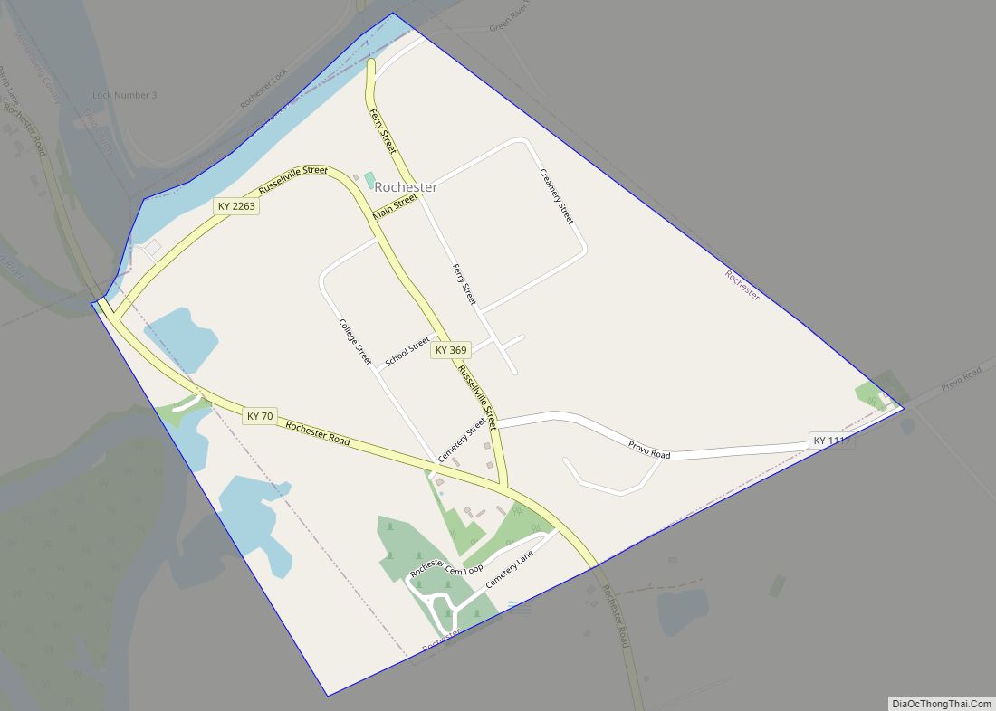
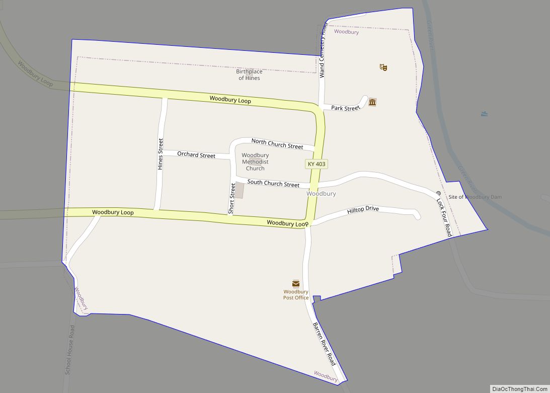
In 1833 a navigation plan for the Green River was initiated. As one result of this plan, a town (Rochester) was founded at Lock/Dam #3, and another (Woodbury) at Lock/Dam #4.
The American Civil War in 1861 slowed the county’s growth. The county was site of a few incidents during the conflict. There was a fight near Morgantown on October 29, 1861, and a skirmish on October 30 where the rebels were encamped. In the latter part of the nineteenth century, veterans from both sides raised funds to raise a monument at the courthouse. It lists county residents who fought in the war on both sides. This is one of only two Civil War monuments in Kentucky that honor the soldiers of both sides. The Confederate-Union Veterans’ Monument in Morgantown, a zinc monument, was dedicated in 1907 on the Butler County Courthouse lawn.
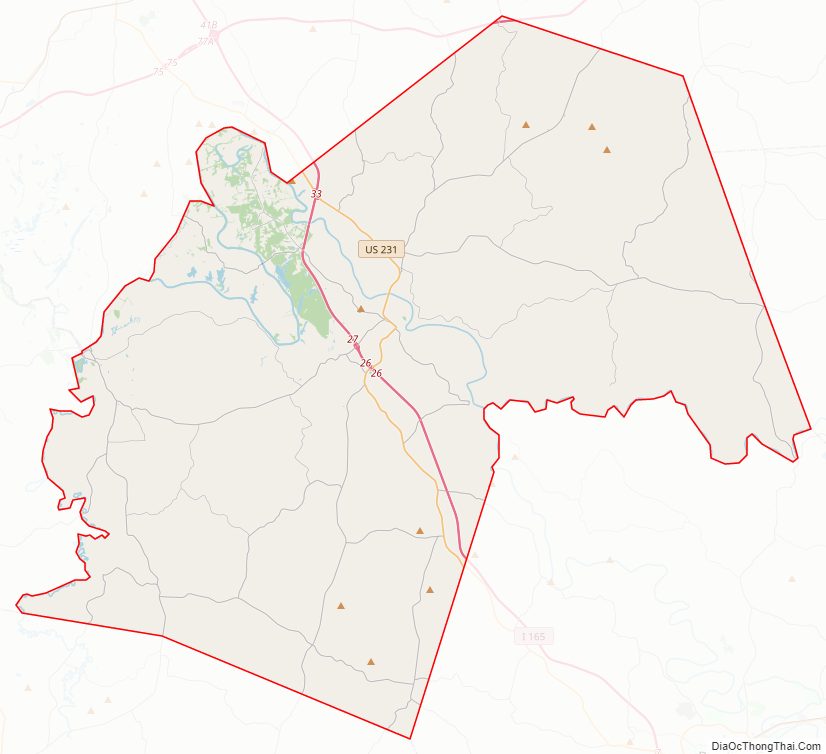
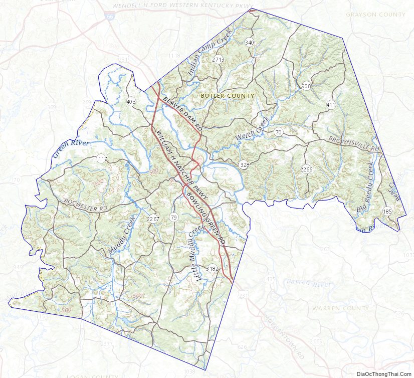
Butler County Road Map
Geography
According to the U.S. Census Bureau, the county has a total area of 431 square miles (1,120 km), of which 426 square miles (1,100 km) is land and 5.4 square miles (14 km) (1.2%) is water. It is part of the Western Coal Fields region of Kentucky.
Adjacent counties
- Ohio County (northwest)
- Grayson County (northeast)
- Edmonson County (east)
- Warren County (southeast)
- Logan County (south)
- Muhlenberg County (west)
Butler County Topographic Map
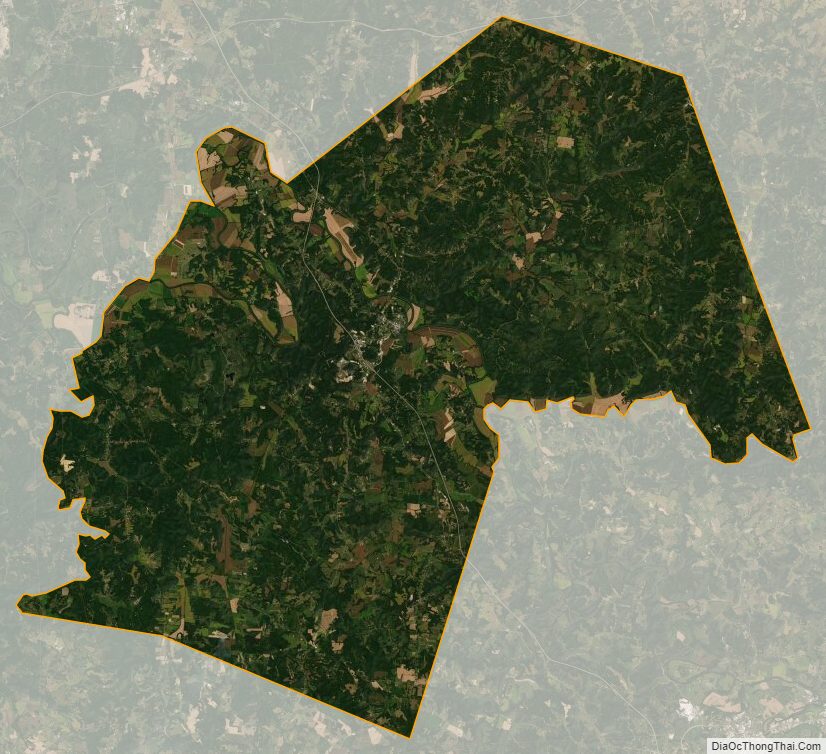
Butler County Satellite Map
Butler County Outline Map