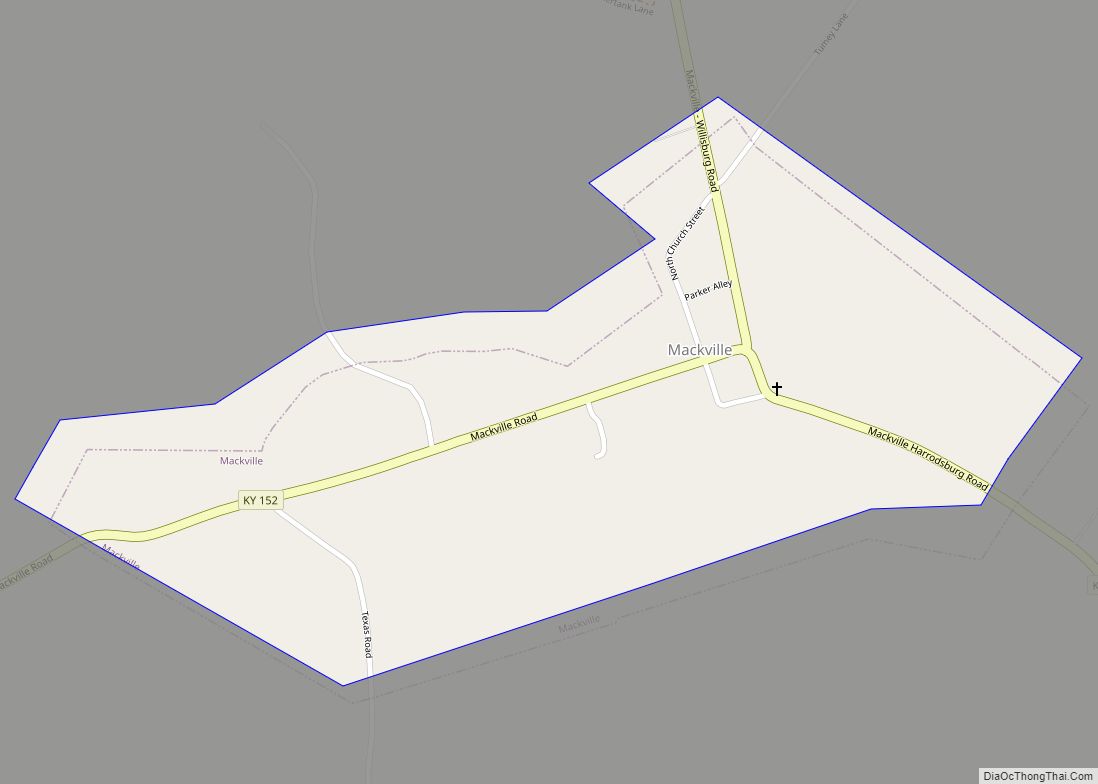
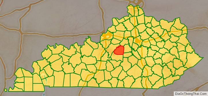
Washington County is a county located in the U.S. state of Kentucky. As of the 2020 census, the population was 12,027. Its county seat is Springfield. The county is named for George Washington. Washington County was the first county formed in the Commonwealth of Kentucky when it reached statehood, and the sixteenth county formed. The center of population of Kentucky is located in Washington County, in the city of Willisburg. The county is dry, meaning that the sale of alcohol is prohibited, but it contains the “wet” city of Springfield, where retail alcohol sales are allowed. This classifies the jurisdiction as a moist county. Three wineries operate in the county and are licensed separately to sell to the public. Jacob Beam, founder of Jim Beam whiskey, sold his first barrel of whiskey in Washington County.
| Name: | Washington County |
|---|---|
| FIPS code: | 21-229 |
| State: | Kentucky |
| Founded: | 1792 |
| Named for: | George Washington |
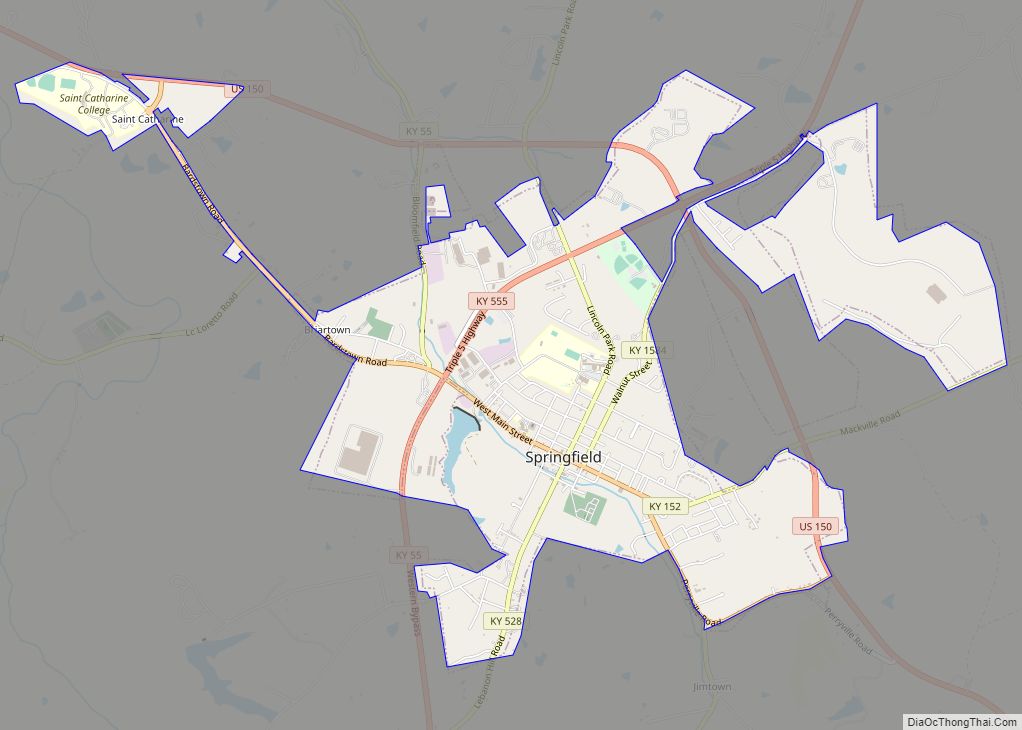
| Seat: | Springfield |
| Largest city: | Springfield |
| Total Area: | 301 sq mi (780 km²) |
| Land Area: | 297 sq mi (770 km²) |
| Total Population: | 12,027 |
| Population Density: | 40/sq mi (15/km²) |
| Time zone: | UTC−5 (Eastern) |
| Summer Time Zone (DST): | UTC−4 (EDT) |
| Website: | www.washingtoncountyky.com |
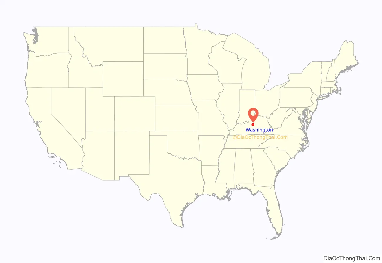
Washington County location map. Where is Washington County?
History
Washington County was established in 1792 from land taken from Nelson County. It was the first county created by the Commonwealth of Kentucky after its separation from Virginia.
The Washington County Courthouse, completed in 1816, is the oldest courthouse still in use in Kentucky. A significant county court record is the marriage bond of Thomas Lincoln and Nancy Hanks, parents of President Abraham Lincoln. The bond is dated June 10, 1806; it was written the day before the marriage in the small community of Beechland, on the Little Beech River. The marriage return was signed by Jesse Head, the Methodist preacher who performed the ceremony, and dates the marriage to June 12, 1806.
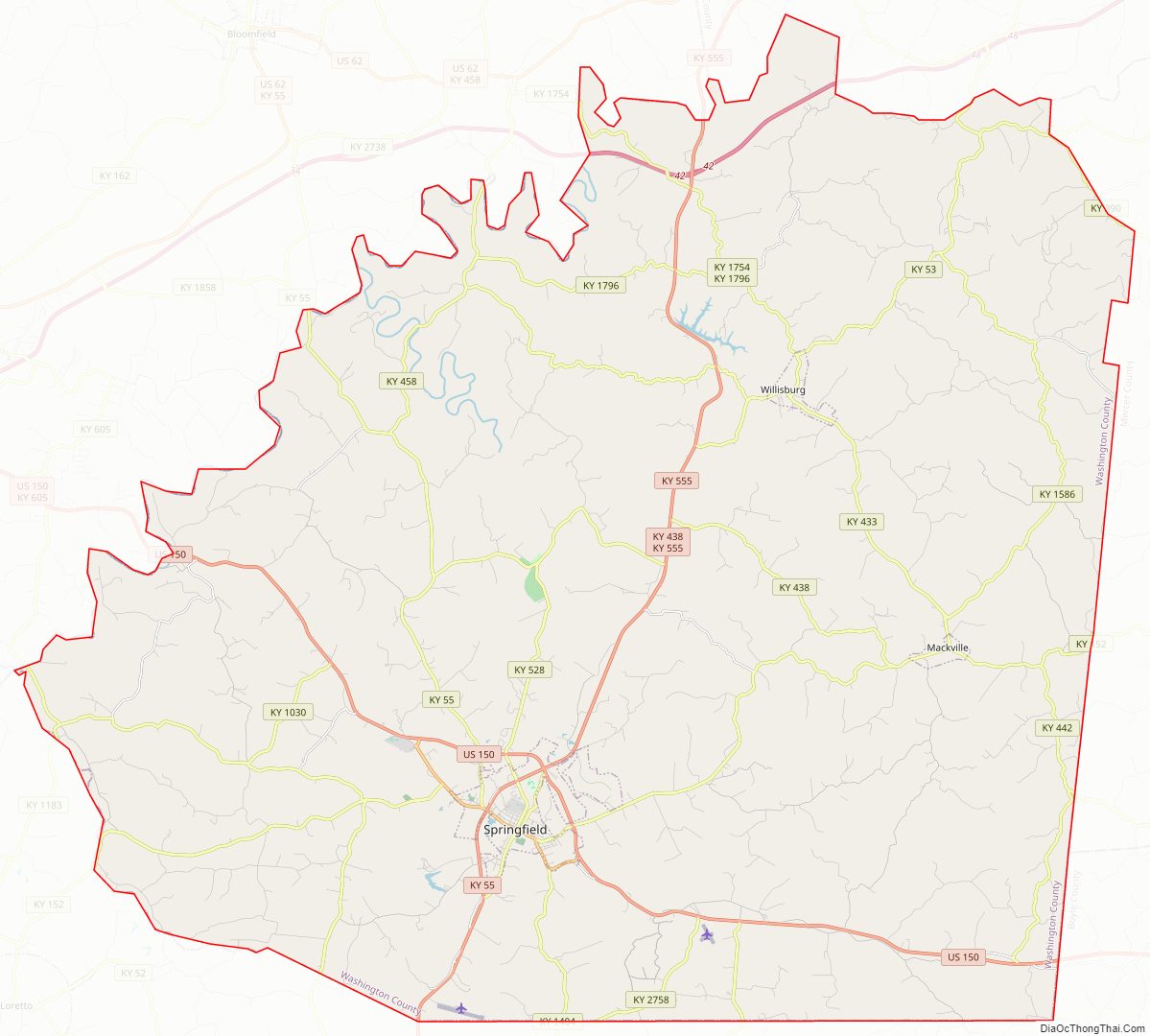
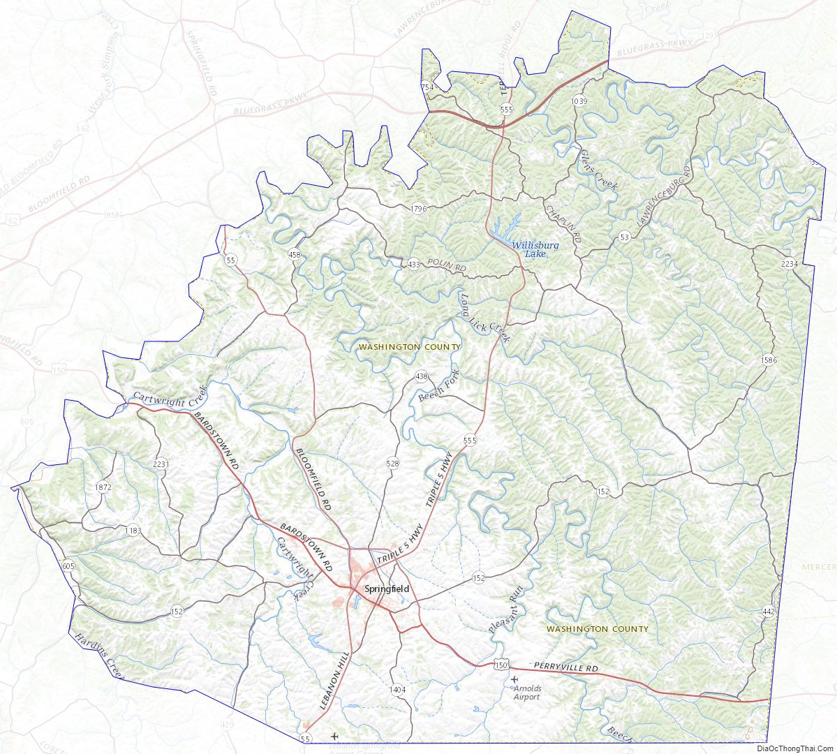
Washington County Road Map
Geography
According to the U.S. Census Bureau, the county has a total area of 301 square miles (780 km), of which 297 square miles (770 km) is land and 3.9 square miles (10 km) (1.3%) is water.
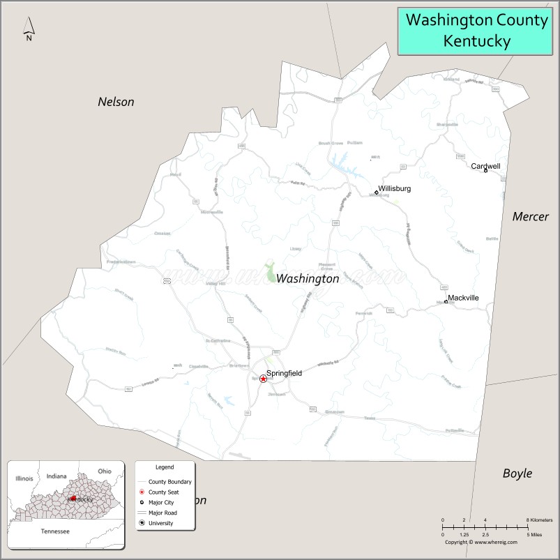
Adjacent counties
- Anderson County – northeast
- Mercer County – east
- Boyle County – east
- Marion County – south
- Nelson County – west
Washington County Topographic Map
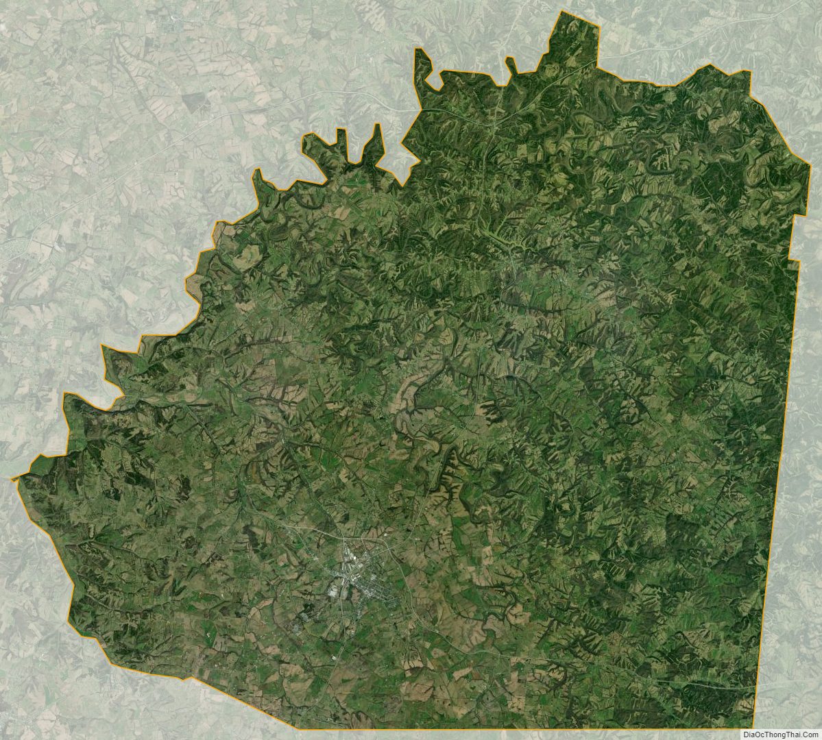
Washington County Satellite Map
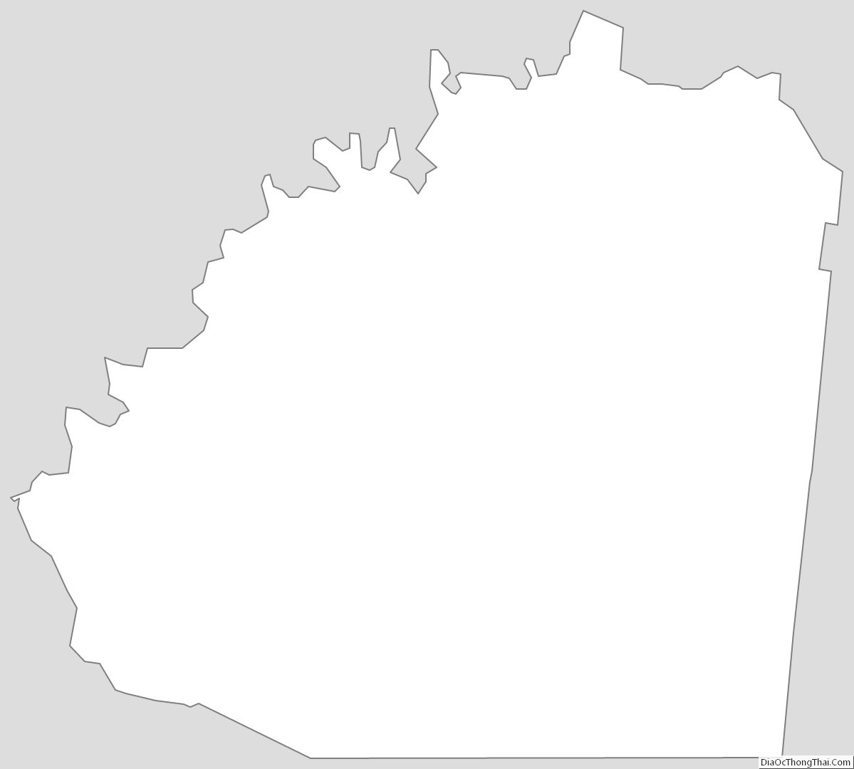
Washington County Outline Map