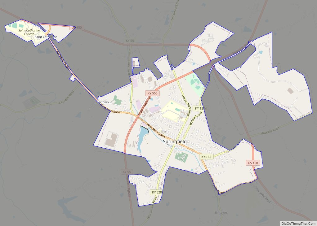
Springfield is a home rule-class city in and county seat of Washington County, Kentucky, United States. The population was 2,846 at the 2020 census.
| Name: | Springfield city |
|---|---|
| LSAD Code: | 25 |
| LSAD Description: | city (suffix) |
| State: | Kentucky |
| County: | Washington County |
| Elevation: | 768 ft (234 m) |
| Total Area: | 4.16 sq mi (10.78 km²) |
| Land Area: | 4.11 sq mi (10.66 km²) |
| Water Area: | 0.05 sq mi (0.13 km²) |
| Total Population: | 2,846 |
| Population Density: | 691.78/sq mi (267.08/km²) |
| ZIP code: | 40069 |
| Area code: | 859 |
| FIPS code: | 2172660 |
| GNISfeature ID: | 0504157 |
| Website: | www.springfieldky.org |
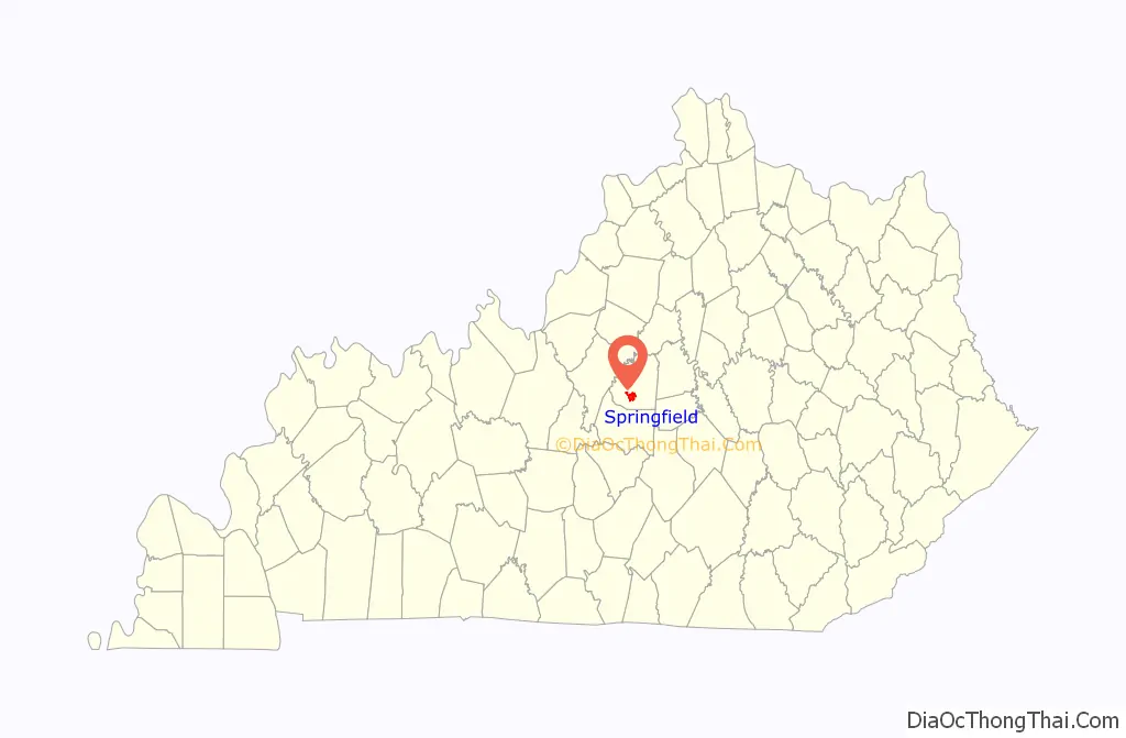
Online Interactive Map
Click on ![]() to view map in "full screen" mode.
to view map in "full screen" mode.
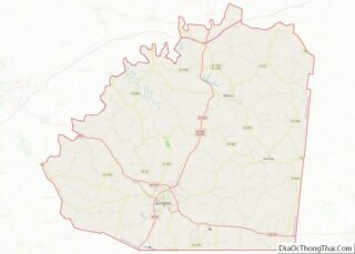
Springfield location map. Where is Springfield city?

History
Springfield was established in 1793 and probably named for springs in the area.
The home of Senator John Pope, Richard Berry Jr. House and the Mordecai Lincoln House are historic houses in Springfield listed on the National Register of Historic Places.
Springfield, noted by filmmakers as Hollywood South, is the site of Kentucky’s first and only movie sound stage. The Springfield Bonded Film Complex came about as a part of the burgeoning film industry in Kentucky, ushered in by the state’s film tax credit. This tax credit has the distinction as the most generous in the nation.
Springfield Road Map

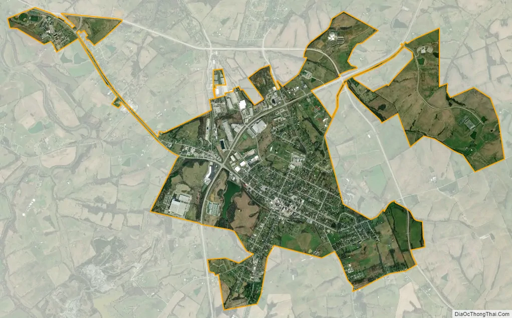
Springfield city Satellite Map
Geography
Springfield is located at 37°41′11″N 85°13′19″W / 37.68639°N 85.22194°W / 37.68639; -85.22194 (37.686328, -85.221955). Springfield is located approximately 15 miles east of Bardstown, 10 miles north of Lebanon, and 17 miles west of Danville.
According to the United States Census Bureau, the city has a total area of 2.5 square miles (6.5 km), all land.
See also
Map of Kentucky State and its subdivision:- Adair
- Allen
- Anderson
- Ballard
- Barren
- Bath
- Bell
- Boone
- Bourbon
- Boyd
- Boyle
- Bracken
- Breathitt
- Breckinridge
- Bullitt
- Butler
- Caldwell
- Calloway
- Campbell
- Carlisle
- Carroll
- Carter
- Casey
- Christian
- Clark
- Clay
- Clinton
- Crittenden
- Cumberland
- Daviess
- Edmonson
- Elliott
- Estill
- Fayette
- Fleming
- Floyd
- Franklin
- Fulton
- Gallatin
- Garrard
- Grant
- Graves
- Grayson
- Green
- Greenup
- Hancock
- Hardin
- Harlan
- Harrison
- Hart
- Henderson
- Henry
- Hickman
- Hopkins
- Jackson
- Jefferson
- Jessamine
- Johnson
- Kenton
- Knott
- Knox
- Larue
- Laurel
- Lawrence
- Lee
- Leslie
- Letcher
- Lewis
- Lincoln
- Livingston
- Logan
- Lyon
- Madison
- Magoffin
- Marion
- Marshall
- Martin
- Mason
- McCracken
- McCreary
- McLean
- Meade
- Menifee
- Mercer
- Metcalfe
- Monroe
- Montgomery
- Morgan
- Muhlenberg
- Nelson
- Nicholas
- Ohio
- Oldham
- Owen
- Owsley
- Pendleton
- Perry
- Pike
- Powell
- Pulaski
- Robertson
- Rockcastle
- Rowan
- Russell
- Scott
- Shelby
- Simpson
- Spencer
- Taylor
- Todd
- Trigg
- Trimble
- Union
- Warren
- Washington
- Wayne
- Webster
- Whitley
- Wolfe
- Woodford
- Alabama
- Alaska
- Arizona
- Arkansas
- California
- Colorado
- Connecticut
- Delaware
- District of Columbia
- Florida
- Georgia
- Hawaii
- Idaho
- Illinois
- Indiana
- Iowa
- Kansas
- Kentucky
- Louisiana
- Maine
- Maryland
- Massachusetts
- Michigan
- Minnesota
- Mississippi
- Missouri
- Montana
- Nebraska
- Nevada
- New Hampshire
- New Jersey
- New Mexico
- New York
- North Carolina
- North Dakota
- Ohio
- Oklahoma
- Oregon
- Pennsylvania
- Rhode Island
- South Carolina
- South Dakota
- Tennessee
- Texas
- Utah
- Vermont
- Virginia
- Washington
- West Virginia
- Wisconsin
- Wyoming