Washington County is a county located in the U.S. state of Mississippi. As of the 2020 census, the population was 44,922. Its county seat is Greenville. The county is named in honor of the first president of the United States, George Washington. It is located to the Arkansas border.
The Greenville, MS Micropolitan Statistical Area includes all of Washington County. It is located in the Mississippi Delta.
| Name: | Washington County |
|---|---|
| FIPS code: | 28-151 |
| State: | Mississippi |
| Founded: | 1827 |
| Named for: | George Washington |
| Seat: | Greenville |
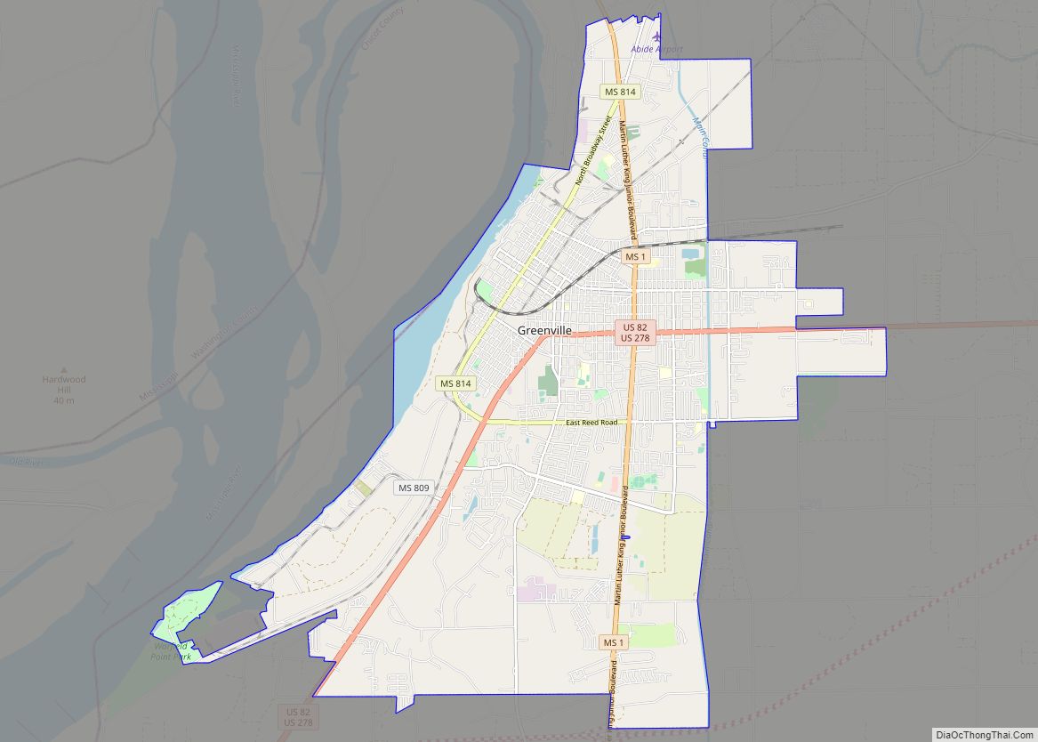
| Largest city: | Greenville |
| Total Area: | 761 sq mi (1,970 km²) |
| Land Area: | 725 sq mi (1,880 km²) |
| Total Population: | 44,922 |
| Population Density: | 59/sq mi (23/km²) |
| Time zone: | UTC−6 (Central) |
| Summer Time Zone (DST): | UTC−5 (CDT) |
| Website: | www.washingtoncounty.ms |
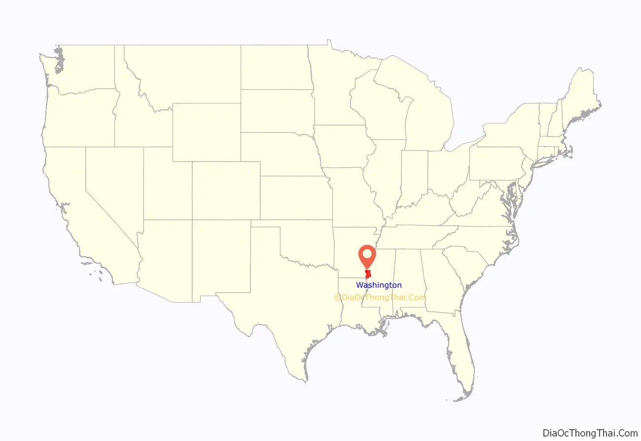
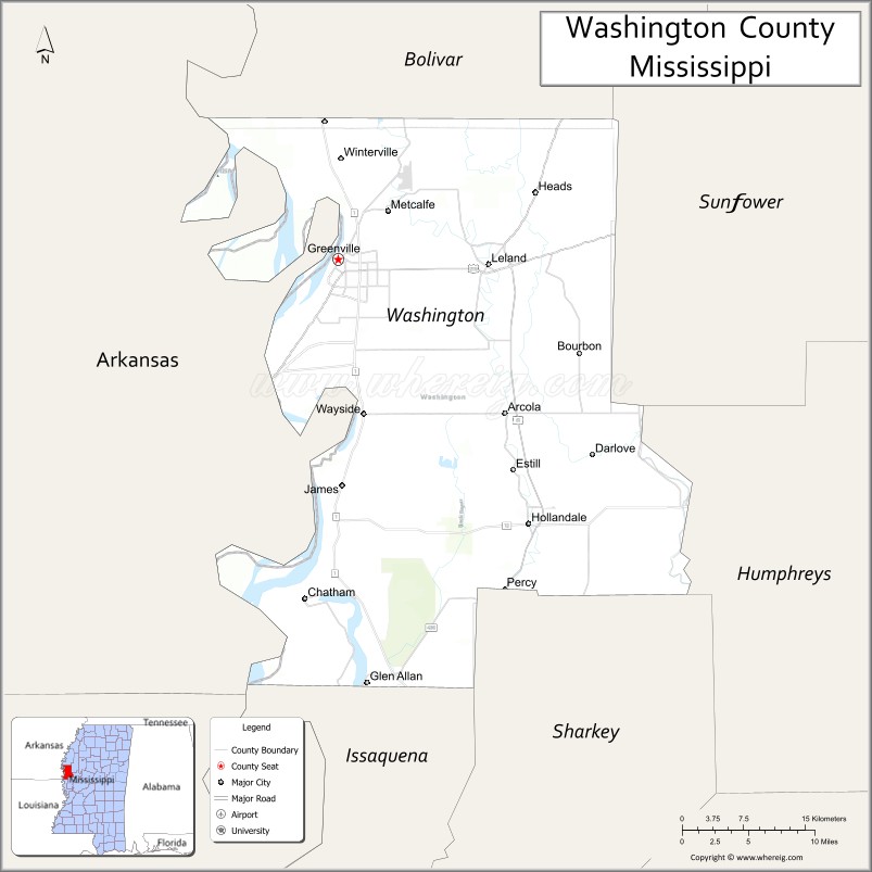
Washington County location map. Where is Washington County?
History
Located in the Mississippi Delta, Washington County was first developed for cotton cultivation in the antebellum years. Most plantations were developed to have access to the rivers, which were the major transportation routes. Cotton was based on slave labor.
In an 1860 Census, Washington County had an enslaved population of 92.3%, the second-highest anywhere in the country, only behind Issaquena County, Mississippi (92.5%). In the period from 1877 to 1950, Washington County had 12 documented lynchings of African Americans. Most occurred around the turn of the 20th century, as part of white imposition of Jim Crow conditions and suppression of black voting.
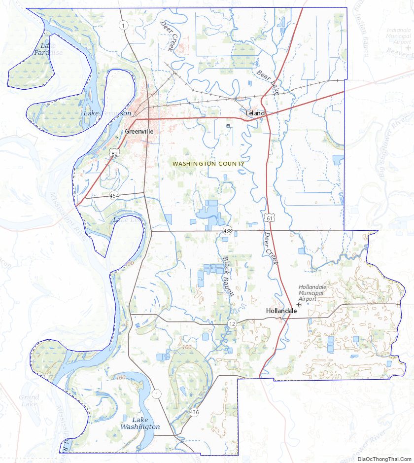
Washington County Road Map
Geography
According to the U.S. Census Bureau, the county has a total area of 761 square miles (1,970 km), of which 725 square miles (1,880 km) is land and 36 square miles (93 km) (4.8%) is water.
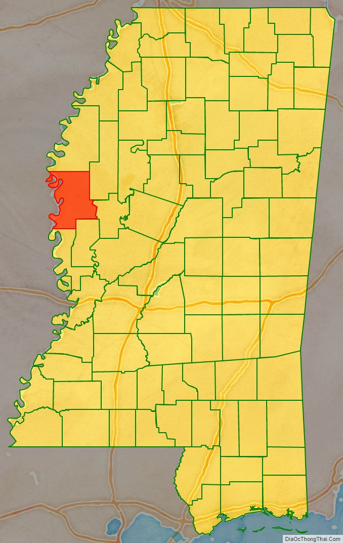
Adjacent counties
- Bolivar County (north)
- Sunflower County (northeast)
- Humphreys County (east)
- Sharkey County (southeast)
- Issaquena County (south)
- Chicot County, Arkansas (west)
- Desha County, Arkansas (northwest)
National protected areas
- Holt Collier National Wildlife Refuge
- Theodore Roosevelt National Wildlife Refuge (part)
- Yazoo National Wildlife Refuge
Washington County Topographic Map
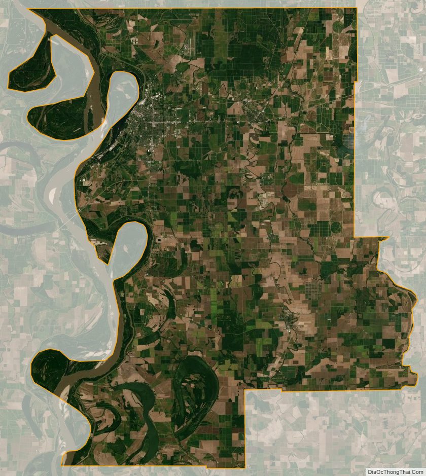
Washington County Satellite Map
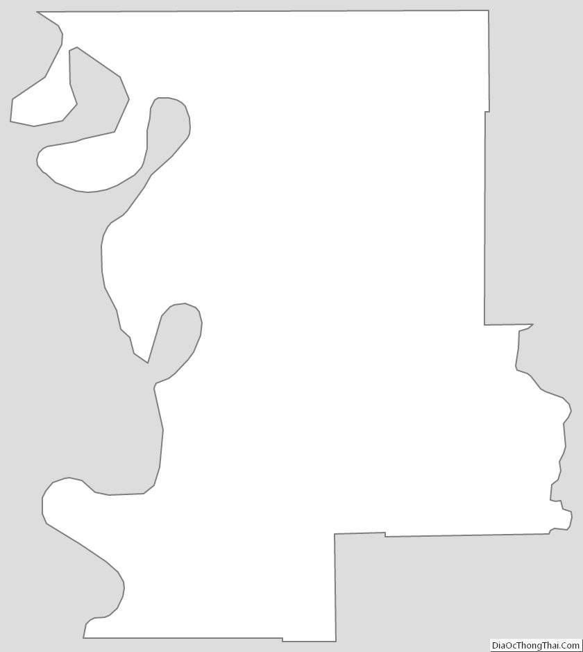
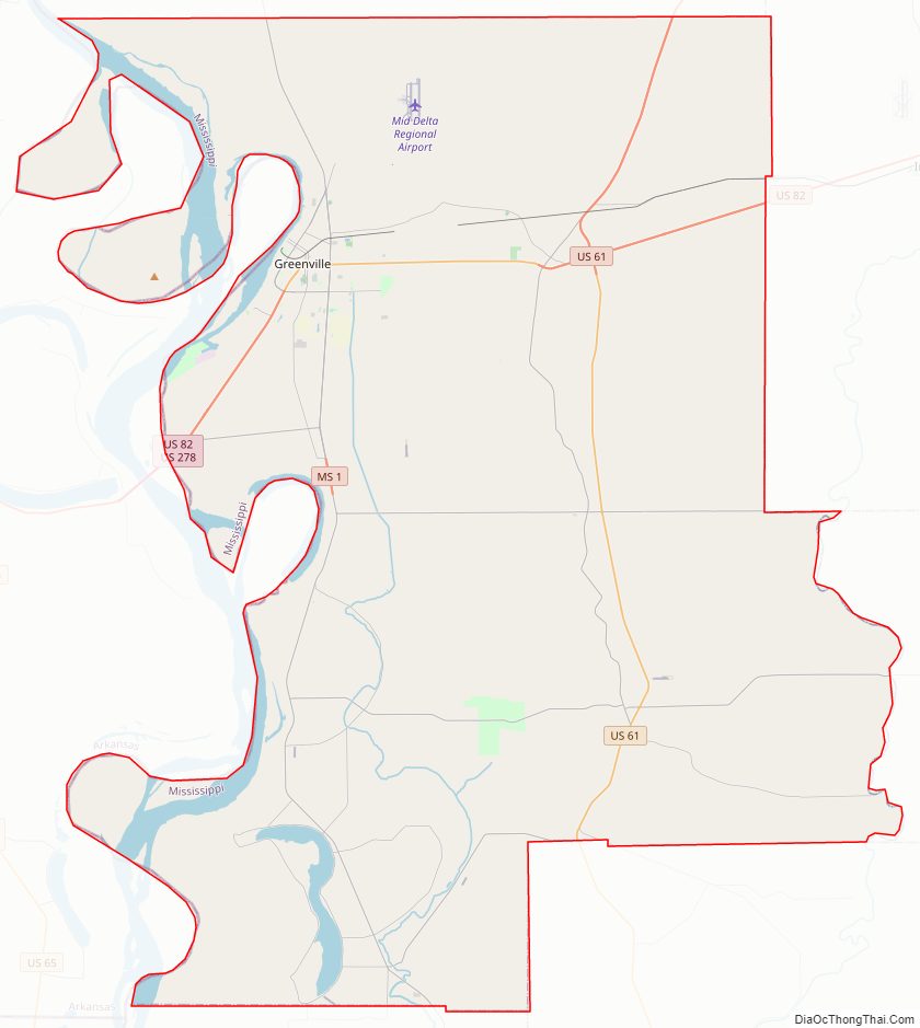
Washington County Outline Map