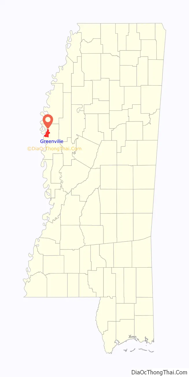
Greenville is a city in and the county seat of Washington County, Mississippi, United States. The population was 34,400 at the 2010 census. It is located in the area of historic cotton plantations and culture known as the Mississippi Delta.
| Name: | Greenville city |
|---|---|
| LSAD Code: | 25 |
| LSAD Description: | city (suffix) |
| State: | Mississippi |
| County: | Washington County |
| Incorporated: | June 24, 1870(152 years ago) (1870-06-24) |
| Elevation: | 131 ft (40 m) |
| Land Area: | 26.89 sq mi (69.66 km²) |
| Water Area: | 0.77 sq mi (2.00 km²) |
| Population Density: | 1,103.18/sq mi (425.95/km²) |
| ZIP code: | 38701–38704, 38731 |
| Area code: | 662 |
| FIPS code: | 2829180 |
| GNISfeature ID: | 0670711 |
| Website: | www.greenvillems.org |
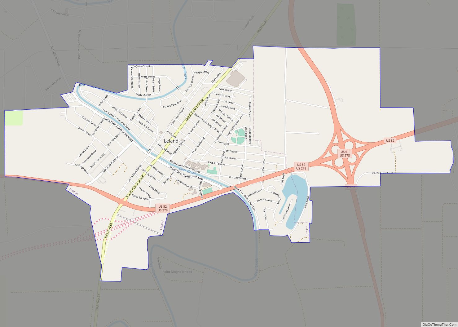
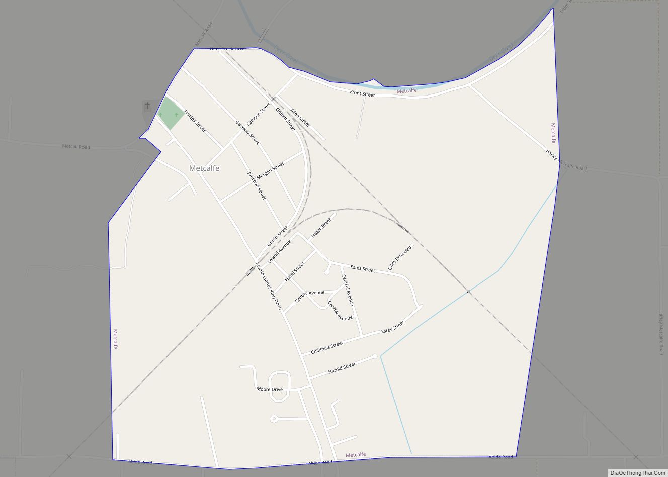
Online Interactive Map
Click on ![]() to view map in "full screen" mode.
to view map in "full screen" mode.
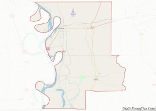
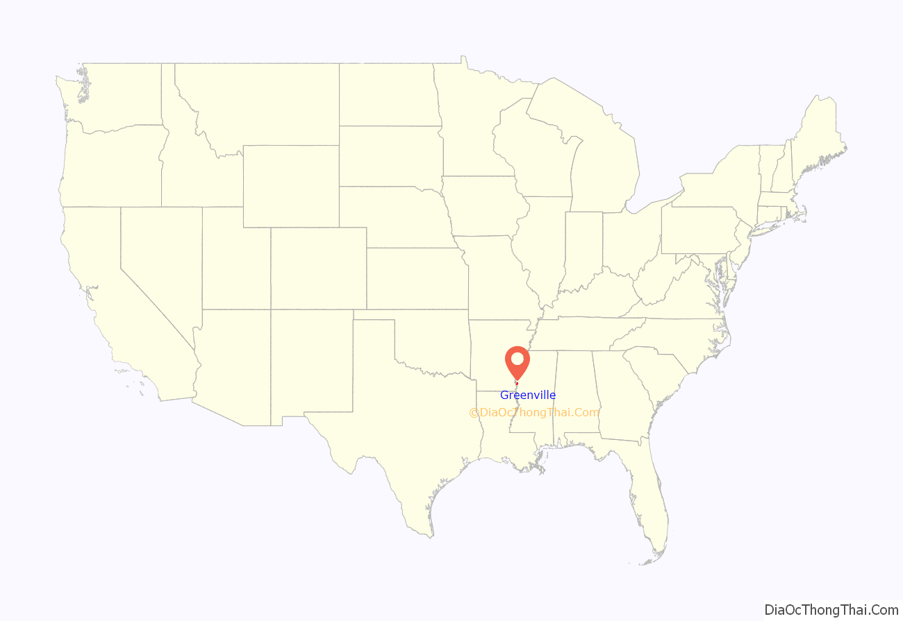
Greenville location map. Where is Greenville city?
History
Early history
This area was occupied by indigenous peoples for thousands of years. When the French explored here, they encountered the historic Natchez people. As part of their colony known as La Louisiane, the French established a settlement at what became Natchez, Mississippi. Other Native American tribes also lived in what is now known as Mississippi.
The current city of Greenville is the third in the State to bear the name. The first, (known as Old Greenville) located to the south near Natchez, became defunct soon after the American Revolution, as European-American settlement was then still concentrated in the eastern states.
The second Greenville was founded in 1824 by American William W. Blanton, who filed for land from the United States government. He was granted section four, township eighteen, range eight west. This plot now constitutes most of downtown Greenville. It was named by its founders for General Nathanael Greene, friend of President George Washington, for whom the county was named.
Many migrants came to the area from the eastern and Upper South states, seeking land for developing cotton plantations. In 1830 the United States Congress passed the Indian Removal Act, which authorized the government to make treaties to extinguish Native American land claims in exchange for lands west of the Mississippi River. They forced most of the Southeastern tribes to Indian Territory during the following decade.
The second town was thriving hamlet in the antebellum years, as cotton plantations developed in the area generated high profits for major planters. They built their wealth on the labor of enslaved African Americans.
Greenville was designated as the county seat in 1844. It had become a trading center for the region’s plantations. The two previous county seats, New Mexico and Princeton, had also been located along the Mississippi River, and had been eroded by the waters, to the point that they were destroyed. As county seat, it was the trading, business, and cultural center for the large cotton plantations that surrounded it. Most plantations were located directly on the Mississippi and other major navigable tributaries. The interior bottomlands were not developed until after the Civil War.
The destruction of Greenville and the Civil War
The town was destroyed during the Union Army’s actions related to the siege of Vicksburg. Troops from a Union gunboat landed at Greenville. In retaliation for being fired upon, they burned every building. The inhabitants took refuge in plantation homes of the area. When the war ended, veterans of Mississippi regiments returned to find Greenville in a state of ruin.
The former residents soon decided to build again. They chose a new site three miles away, at the highest point on the Mississippi River between the towns of Vicksburg and Memphis. Much of the land belonged to the Roach and Blanton families; the major part of the area selected was within property owned by Mrs. Harriet Blanton Theobald. She welcomed the idea of a new Greenville, and donated land for schools, churches and public buildings. She was called the “Mother of Greenville”. Major Richard O’Hea, who had planned the wartime defense fortifications at Vicksburg, was hired to lay out the new town.
Greenville recovered prosperity, still based on cotton, despite the decline in world markets for this commodity. In the early 20th century, its elite families had considerable political influence in the state, and US Senator Leroy Percy was from here. Several residences and other buildings from the late 19th and early 20th centuries have been listed on the National Register of Historic Places. It was a center of Delta culture in the early 20th century. This city adapted the former site to serve as industrial fill.
Nelson Street
African Americans in the Delta developed rich varieties of innovative music. Nelson Street is a historic strip of blues clubs that drew crowds in the 1940s and 1950s to the flourishing club scene to hear Delta blues, big band, jump blues and jazz. Record companies came to Greenville to recruit talent. It was similar to Beale Street in mid-20th century Memphis.
In the early 21st century, the Mississippi Blues Commission was established to commemorate this music in the state’s history and culture. It has identified sites throughout the Delta as part of the Mississippi Blues Trail.
Southern Whispers Restaurant on Nelson Street in Greenville was the second site identified on this trail; this was a stop on the Chitlin’ Circuit in the early days of the blues. The historic marker in front of the restaurant commemorates its importance in the history of the blues in Mississippi.
21st century
In 2020 the city ordered churches to shut down to prevent the spread of COVID-19 and issued citations and fines to those attending a drive-in church gathering. The U.S. Justice Department intervened on behalf of the church.
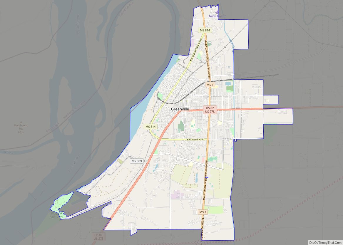
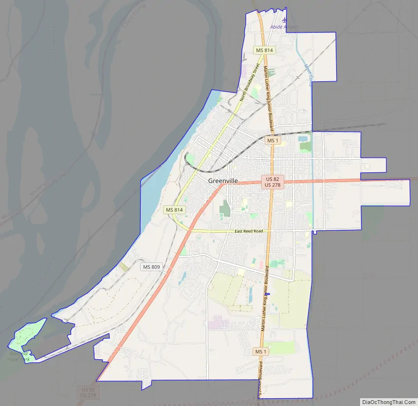
Greenville Road Map
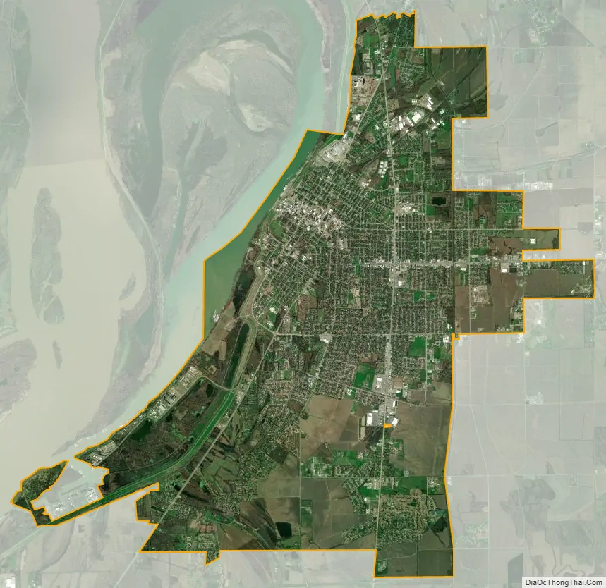
Greenville city Satellite Map
Geography
Greenville is located on the eastern bank of Lake Ferguson, an oxbow lake left from an old channel of the Mississippi River.
One floating casino is located on the lake near the downtown area known as the Trop Casino Greenville, with a second just west of the city near the Greenville Bridge known as Harlow’s Casino Resort. Chicago Mill and Lumber Co. operated a lumber mill on the lake two-tenths of a mile south of the casino levee parking lot; the mill specialized in making hardwood boxes until it closed.
According to the United States Census Bureau, the city has a total area of 27.7 square miles (72 km), of which 26.9 square miles (70 km) is land and 0.8 square miles (2.1 km) (2.82%) is water.
Climate
See also
Map of Mississippi State and its subdivision:- Adams
- Alcorn
- Amite
- Attala
- Benton
- Bolivar
- Calhoun
- Carroll
- Chickasaw
- Choctaw
- Claiborne
- Clarke
- Clay
- Coahoma
- Copiah
- Covington
- Desoto
- Forrest
- Franklin
- George
- Greene
- Grenada
- Hancock
- Harrison
- Hinds
- Holmes
- Humphreys
- Issaquena
- Itawamba
- Jackson
- Jasper
- Jefferson
- Jefferson Davis
- Jones
- Kemper
- Lafayette
- Lamar
- Lauderdale
- Lawrence
- Leake
- Lee
- Leflore
- Lincoln
- Lowndes
- Madison
- Marion
- Marshall
- Monroe
- Montgomery
- Neshoba
- Newton
- Noxubee
- Oktibbeha
- Panola
- Pearl River
- Perry
- Pike
- Pontotoc
- Prentiss
- Quitman
- Rankin
- Scott
- Sharkey
- Simpson
- Smith
- Stone
- Sunflower
- Tallahatchie
- Tate
- Tippah
- Tishomingo
- Tunica
- Union
- Walthall
- Warren
- Washington
- Wayne
- Webster
- Wilkinson
- Winston
- Yalobusha
- Yazoo
- Alabama
- Alaska
- Arizona
- Arkansas
- California
- Colorado
- Connecticut
- Delaware
- District of Columbia
- Florida
- Georgia
- Hawaii
- Idaho
- Illinois
- Indiana
- Iowa
- Kansas
- Kentucky
- Louisiana
- Maine
- Maryland
- Massachusetts
- Michigan
- Minnesota
- Mississippi
- Missouri
- Montana
- Nebraska
- Nevada
- New Hampshire
- New Jersey
- New Mexico
- New York
- North Carolina
- North Dakota
- Ohio
- Oklahoma
- Oregon
- Pennsylvania
- Rhode Island
- South Carolina
- South Dakota
- Tennessee
- Texas
- Utah
- Vermont
- Virginia
- Washington
- West Virginia
- Wisconsin
- Wyoming