Desha County (/dəˈʃeɪ/ duh-SHAY) is a county located in the southeast part of the U.S. state of Arkansas, with its eastern border the Mississippi River. At the 2020 census, the population was 11,395. The county seat is Arkansas City. Located in the Arkansas Delta, Desha County’s rivers and fertile soils became prosperous for planters under the cotton-based economy of plantation agriculture in the antebellum years and late 19th century. Still largely rural, it has suffered population losses and economic decline since the mid-20th century.
But following widespread farm mechanization, Desha County underwent a demographic and economic transformation. Farm workers left the area because of the lack of work, and there was a decline in population. Farm holdings have been consolidated into industrial style farms and the economy cannot support much activity. In the 21st century, the county is seeking to reverse population and economic losses through better education for its workforce, and developing tourism based on its cultural, historical and outdoor recreation amenities.
| Name: | Desha County |
|---|---|
| FIPS code: | 05-041 |
| State: | Arkansas |
| Founded: | December 12, 1838 |
| Named for: | Benjamin Desha |
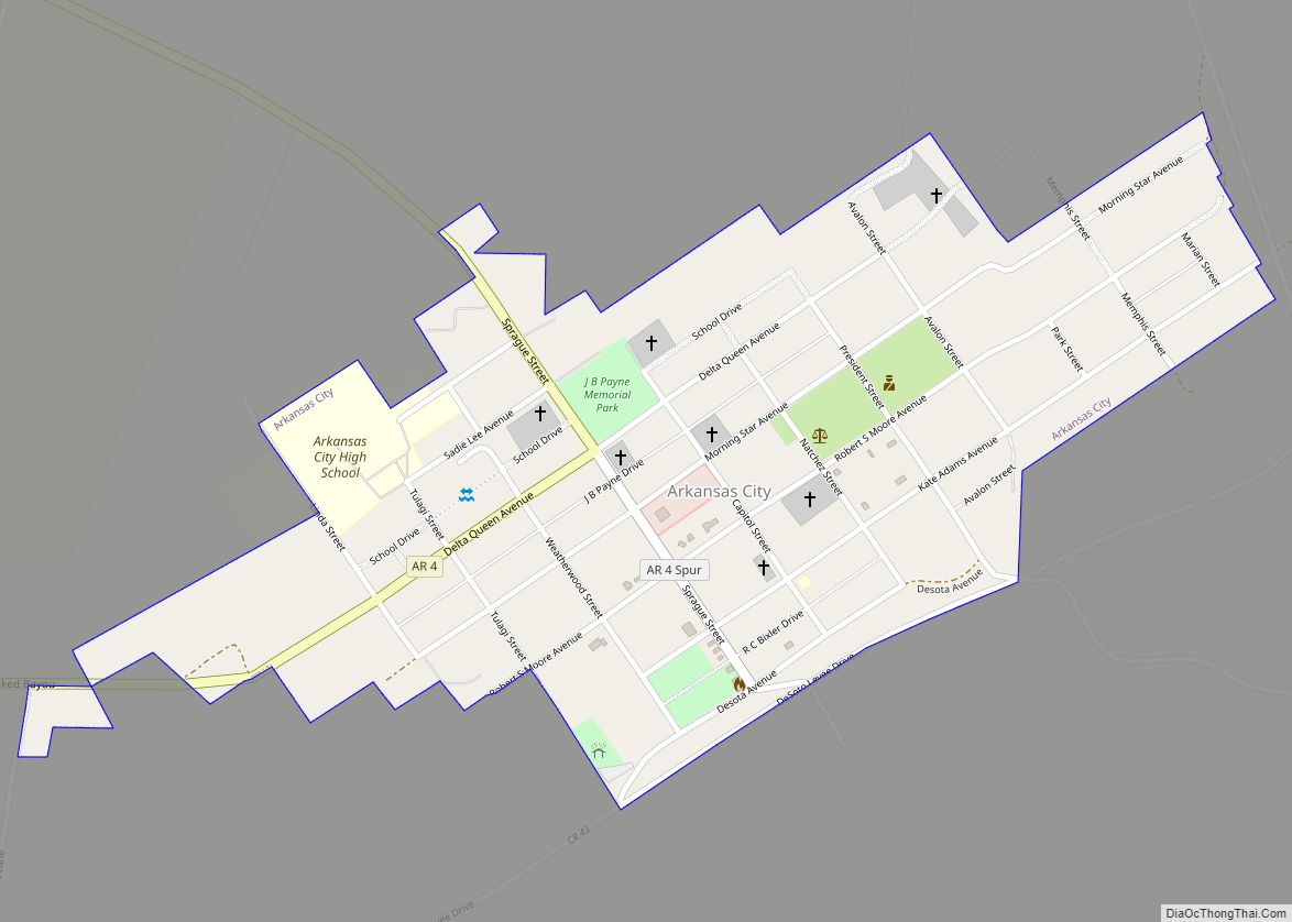
| Seat: | Arkansas City |
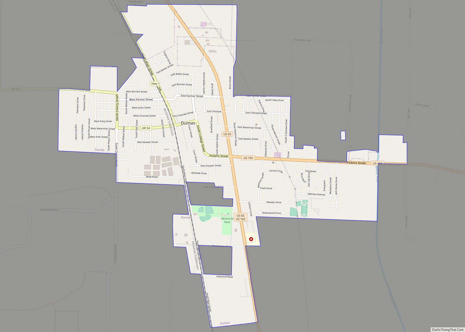
| Largest city: | Dumas |
| Total Area: | 820 sq mi (2,100 km²) |
| Land Area: | 768 sq mi (1,990 km²) |
| Total Population: | 11,395 |
| Population Density: | 14/sq mi (5.4/km²) |
| Time zone: | UTC−6 (Central) |
| Summer Time Zone (DST): | UTC−5 (CDT) |
| Website: | deshacounty.arkansas.gov |
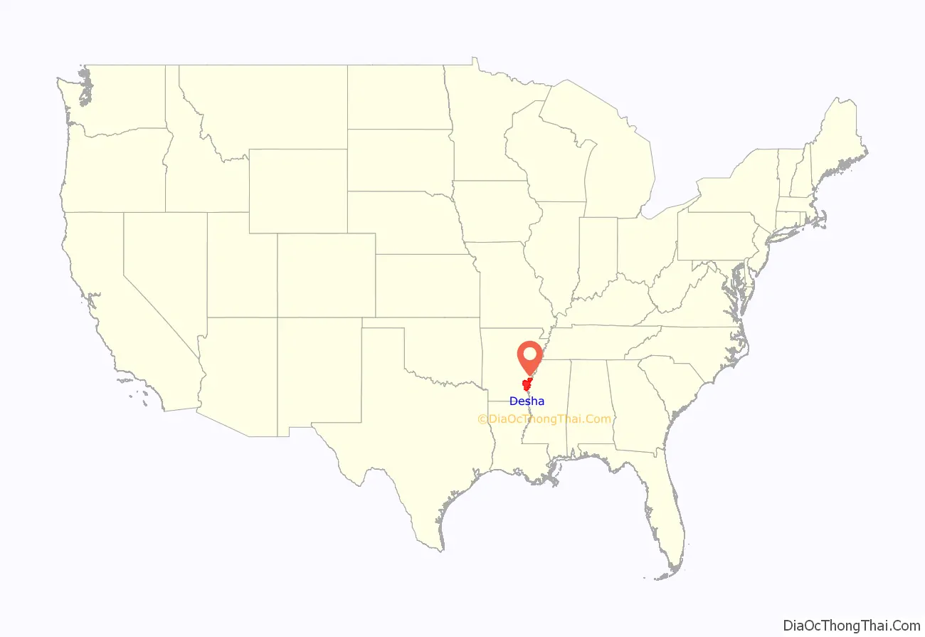
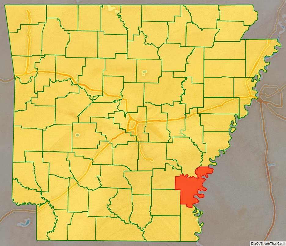
Desha County location map. Where is Desha County?
History
Desha County was created by the Arkansas Legislature on December 12, 1838, consisting of the lands of Arkansas County separated from the county seat by the Arkansas River and the White River, and land from Chicot County. The county was named for Captain Benjamin Desha, who fought in the War of 1812.
Located in the Arkansas Delta, Desha County’s rivers and fertile soils prosperous for planters under the cotton-based slave society of plantation agriculture in the antebellum years. After the Civil War, cotton continued as the primary commodity crop into the early 20th century, and planters did well. Labor was provided by sharecroppers and tenant farmers.
But following widespread farm mechanization, laborers were thrown off the land, and Desha County had a demographic and economic transformation. Thousands of African-American farm workers left the area and went north or west in the Great Migration, and there was a decline in population. Farm holdings have been consolidated into industrial-scale farms, with few governmental benefits for small farmers, and the economy cannot support much activity. In the 21st century, the county is seeking to reverse population and economic losses through better education for its workforce, and developing tourism based on its cultural, historical and outdoor recreation amenities.
During World War II, the federal government established the Rohwer War Relocation Center, an internment camp for Japanese nationals and Japanese Americans it forced out of the coastal area of California, the U.S. Pacific Northwest, and Alaska. The camp operated from late 1942 into 1945 and the end of the war, holding up to nearly 8500 ethnic Japanese, many American-born citizens. The Rohwer War Relocation Center Cemetery has been designated as a National Historic Landmark.
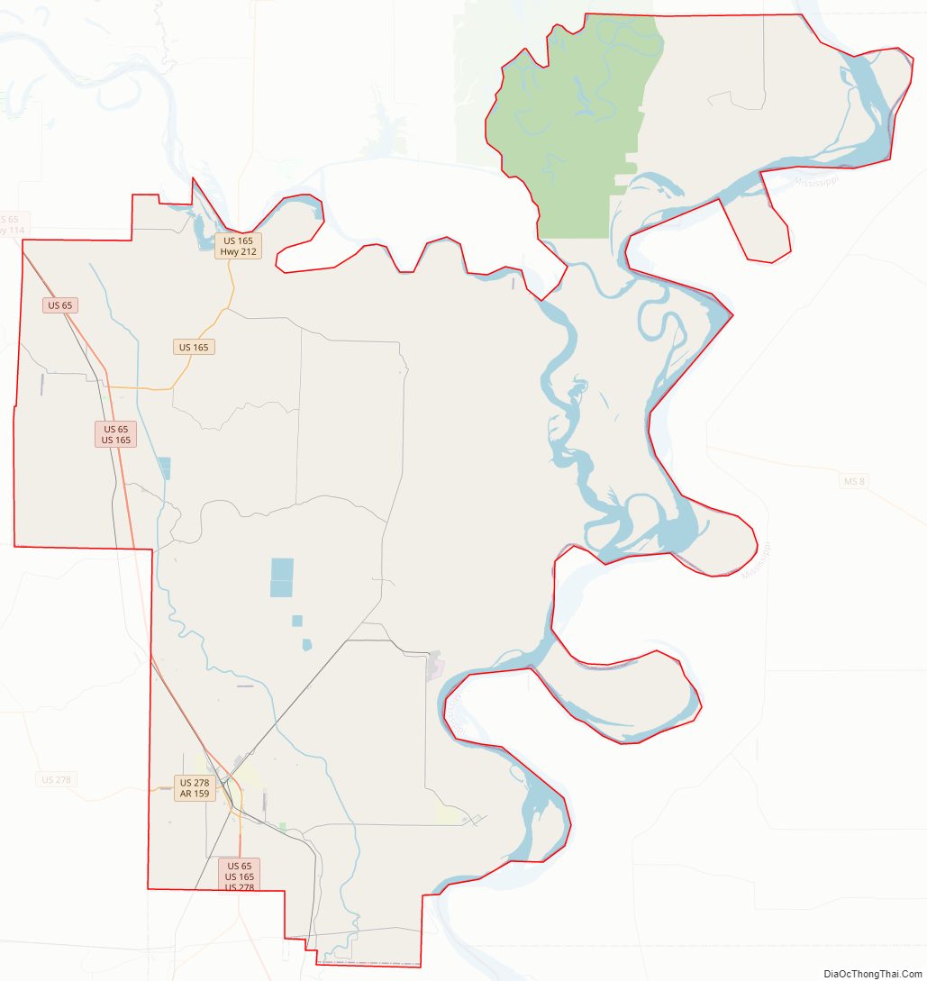
Desha County Road Map
Geography
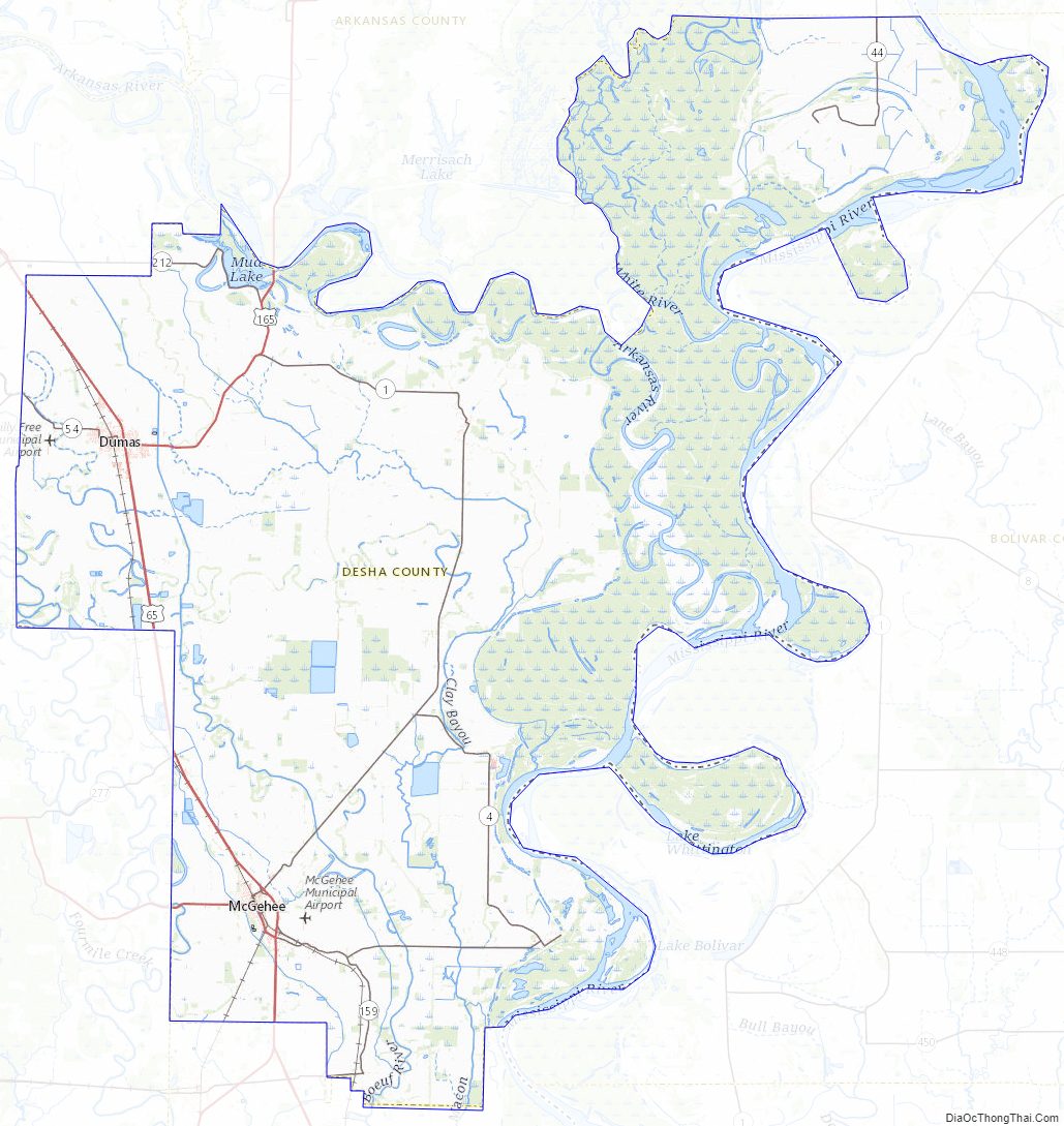
According to the U.S. Census Bureau, the county has a total area of 820 square miles (2,100 km), of which 768 square miles (1,990 km) is land and 51 square miles (130 km) (6.3%) is water. Desha County is within the Arkansas Delta and is considered a member of the Southeast Arkansas region.
Major highways
- Future Interstate 69
- U.S. Highway 65
- U.S. Highway 165
- U.S. Highway 278
- Highway 1
- Highway 4
- Highway 138
Adjacent counties
- Arkansas County (north)
- Phillips County (northeast)
- Bolivar County, Mississippi (east)
- Chicot County (south)
- Drew County (southwest)
- Lincoln County (northwest)
National protected area
- White River National Wildlife Refuge (part)
Desha County Topographic Map
Desha County Satellite Map
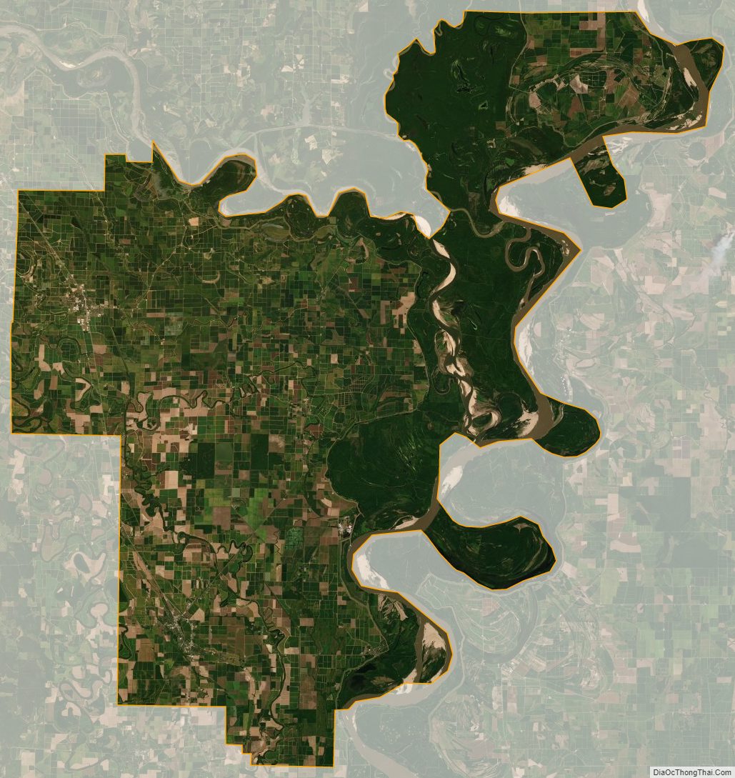
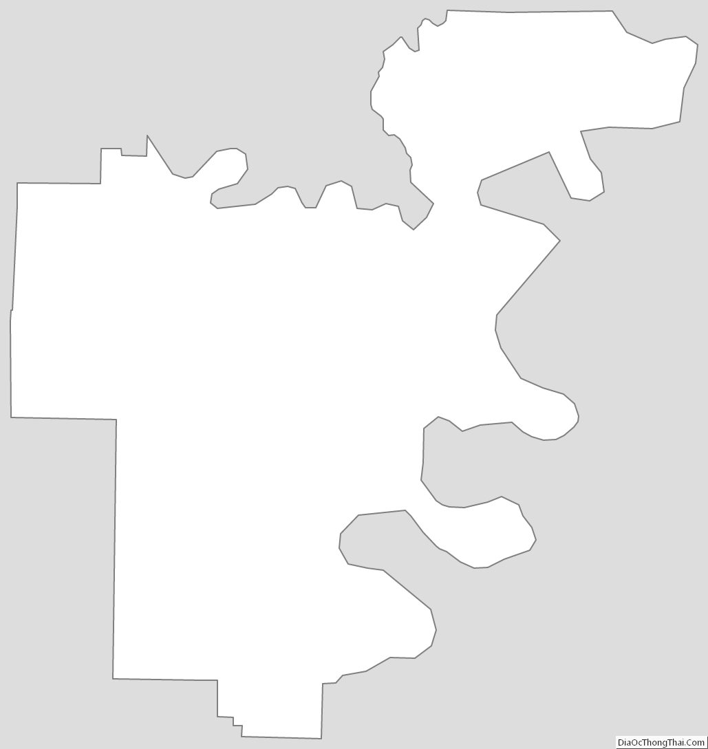
Desha County Outline Map