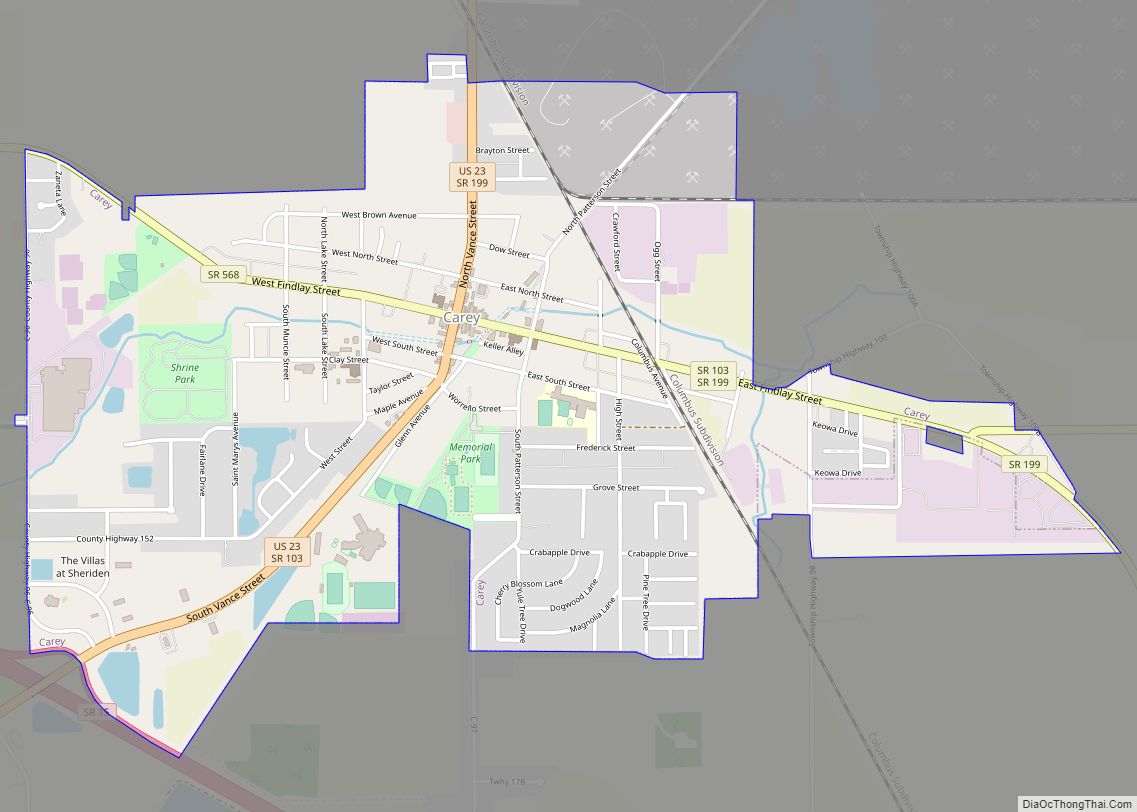
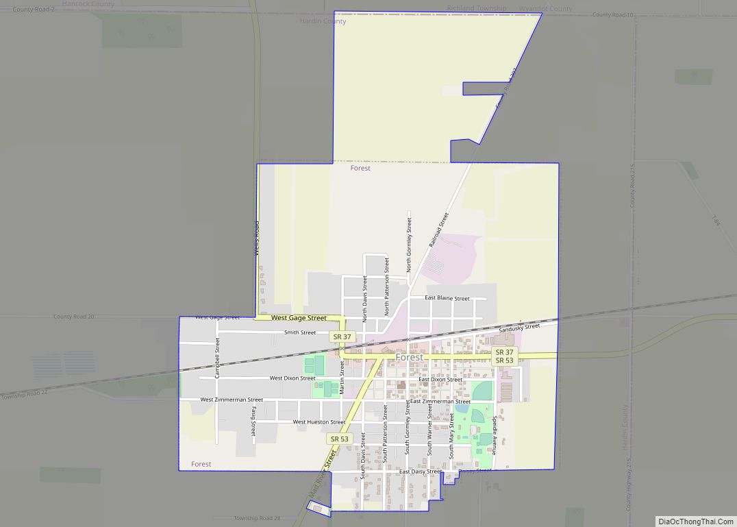
Wyandot County is a county located in the northwestern part of the U.S. state of Ohio. As of the 2020 census, the population was 21,900. Its county seat is Upper Sandusky. It was named for the Wyandot Indians, who lived here before and after European encounter. Their autonym is variously translated from their language as “around the plains” and “dwellers on the peninsula”.
The county was organized by the state legislature from parts of Crawford, Marion, Hardin and Hancock counties on February 3, 1845.
| Name: | Wyandot County |
|---|---|
| FIPS code: | 39-175 |
| State: | Ohio |
| Founded: | February 3, 1845 |
| Named for: | the Wyandot people |
| Seat: | Upper Sandusky |
| Largest city: | Upper Sandusky |
| Total Area: | 408 sq mi (1,060 km²) |
| Land Area: | 407 sq mi (1,050 km²) |
| Total Population: | 21,900 |
| Population Density: | 54/sq mi (21/km²) |
| Time zone: | UTC−5 (Eastern) |
| Summer Time Zone (DST): | UTC−4 (EDT) |
| Website: | www.co.wyandot.oh.us |
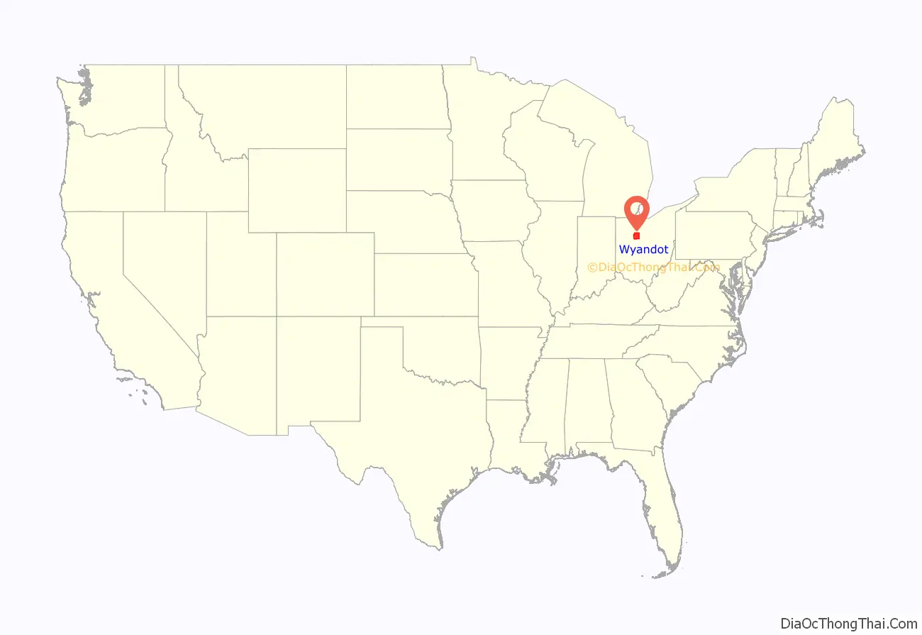
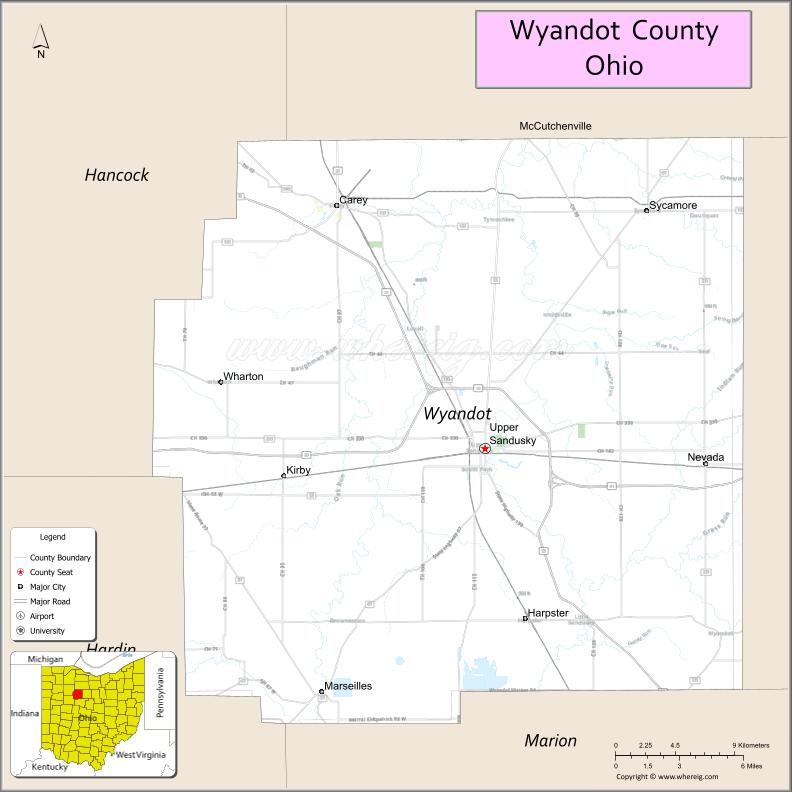
Wyandot County location map. Where is Wyandot County?
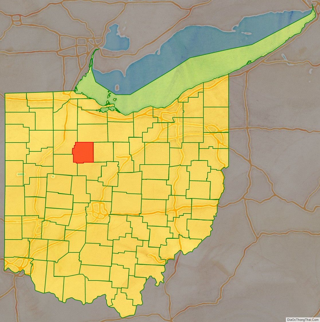
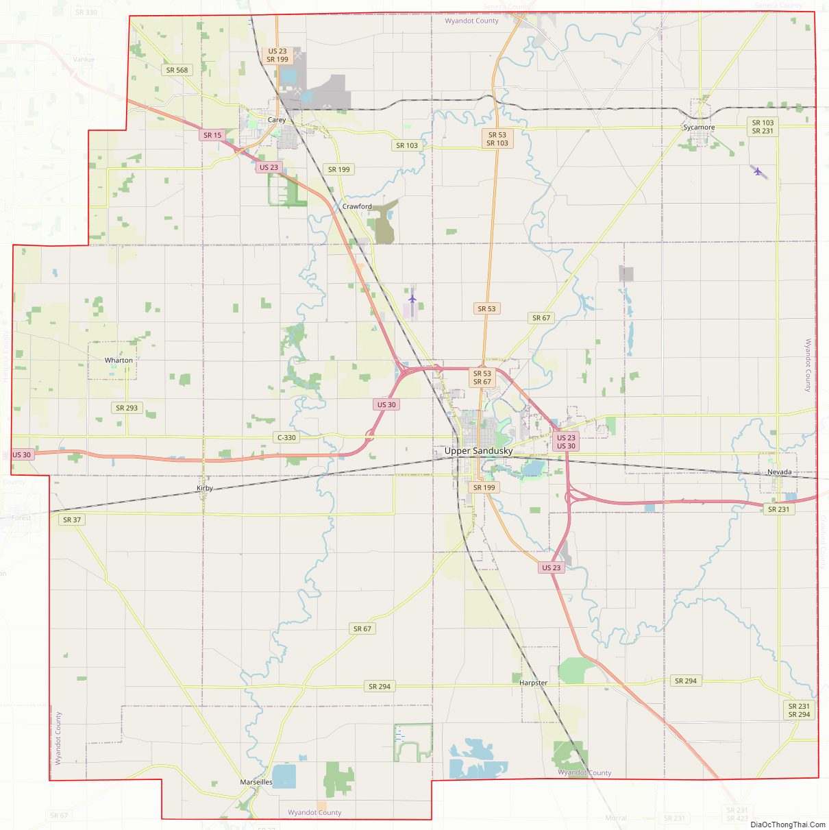
Wyandot County Road Map
Geography
According to the U.S. Census Bureau, the county has a total area of 408 square miles (1,060 km), of which 407 square miles (1,050 km) is land and 0.7 square miles (1.8 km) (0.2%) is water.
Adjacent counties
- Seneca County (north)
- Crawford County (east)
- Marion County (south)
- Hardin County (southwest)
- Hancock County (northwest)
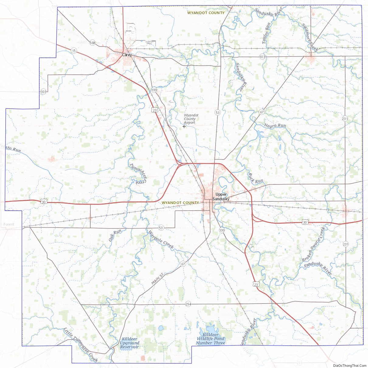
Wyandot County Topographic Map
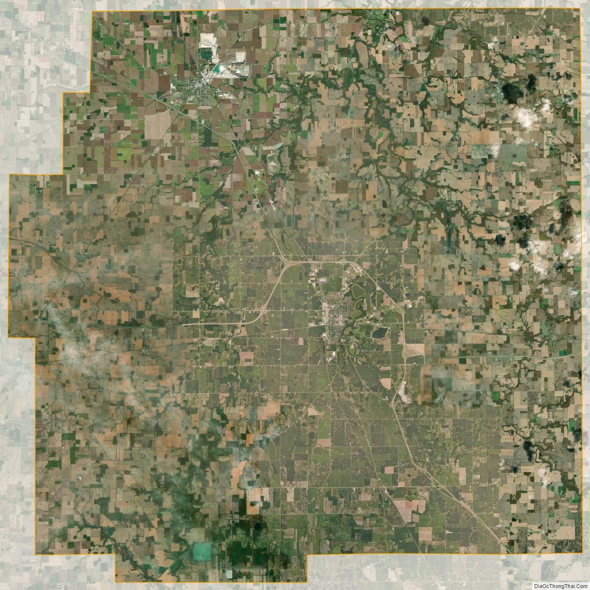
Wyandot County Satellite Map
Wyandot County Outline Map