Upper Sandusky is a city and the county seat of Wyandot County, Ohio, United States, along the upper Sandusky River, which flows north to Sandusky Bay and Lake Erie. The city is approximately 59 mi (96 km) south of Toledo and 62 mi (99 km) north of Columbus. The population was 6,596 at the 2010 census. The city was founded in 1843 and named for an earlier Wyandot Indian village of the same name, which was located nearby. It was named “Upper” because it is located near the headwaters of the Sandusky River.
| Name: | Upper Sandusky city |
|---|---|
| LSAD Code: | 25 |
| LSAD Description: | city (suffix) |
| State: | Ohio |
| County: | Wyandot County |
| Elevation: | 846 ft (258 m) |
| Total Area: | 6.93 sq mi (17.96 km²) |
| Land Area: | 6.75 sq mi (17.48 km²) |
| Water Area: | 0.18 sq mi (0.48 km²) |
| Total Population: | 6,698 |
| Population Density: | 992.15/sq mi (383.10/km²) |
| ZIP code: | 43351 |
| Area code: | 419, 567 |
| FIPS code: | 3979044 |
| GNISfeature ID: | 1065414 |
| Website: | http://www.uppersanduskyoh.com/ |
Online Interactive Map
Click on ![]() to view map in "full screen" mode.
to view map in "full screen" mode.
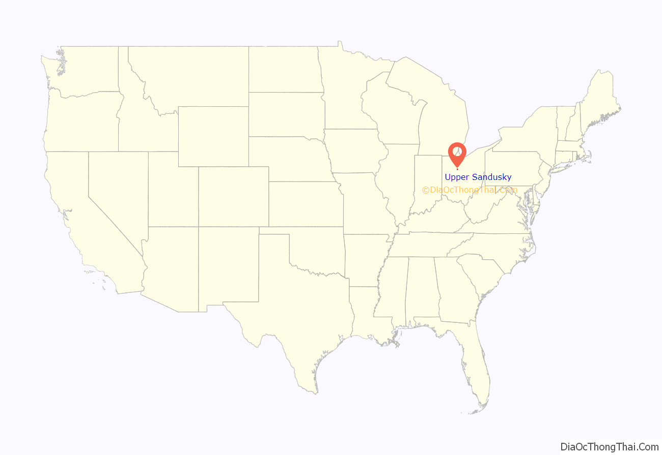
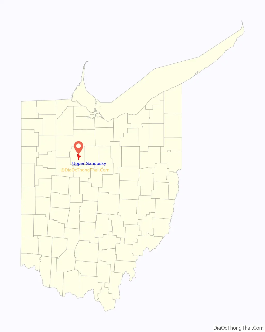
Upper Sandusky location map. Where is Upper Sandusky city?
History
Upper Sandusky was a 19th-century Wyandot town named for its location at the headwaters of the Sandusky River in northwestern Ohio. This was the primary Wyandot town during the American Revolutionary War (1775–1783), and was sometimes also known as Half-King’s Town, after Dunquat, the Wyandot “Half-King”. The town and the surrounding settlements, like Captain Pipe’s Town, were closely allied with the British at Fort Detroit. During the Crawford expedition of 1782, Pennsylvania militiamen sought to destroy the town, but were defeated en route.
After the war, in September 1783, a number of Native Americans met at Upper Sandusky and formed the Western Confederacy, a confederation intended to resist U.S. expansion into the Northwest Territory. The Northwest Indian War followed.
In the War of 1812, the village became the site of Fort Feree (or Ferree) on a bluff overlooking the flood plain of the Sandusky River The Fort was built in late 1812 by Pennsylvania militia led by Lieutenant Colonel Joel Ferree, by order of General William Henry Harrison.
Upper Sandusky became part of the Wyandot Grand Reserve in the Upper Sandusky River area created by the Treaty of Fort Meigs in 1817. Prior to that, it was in northwestern Ohio Indian country above the Greenville Treaty line of 1795. Numerous indigenous Wyandot kept their settlements here until 1842, when they were driven out under the Indian Removal Act of 1830 to what became Wyandotte County, Kansas. A small community of free Black people also lived in the old village.
A new town of Upper Sandusky was platted nearby the forcibly abandoned Wyandot village in 1843 and the first colonizer’s house was built in 1845. The first building in town was the county jail in 1846. It was designated as the seat of Wyandot County in 1848.
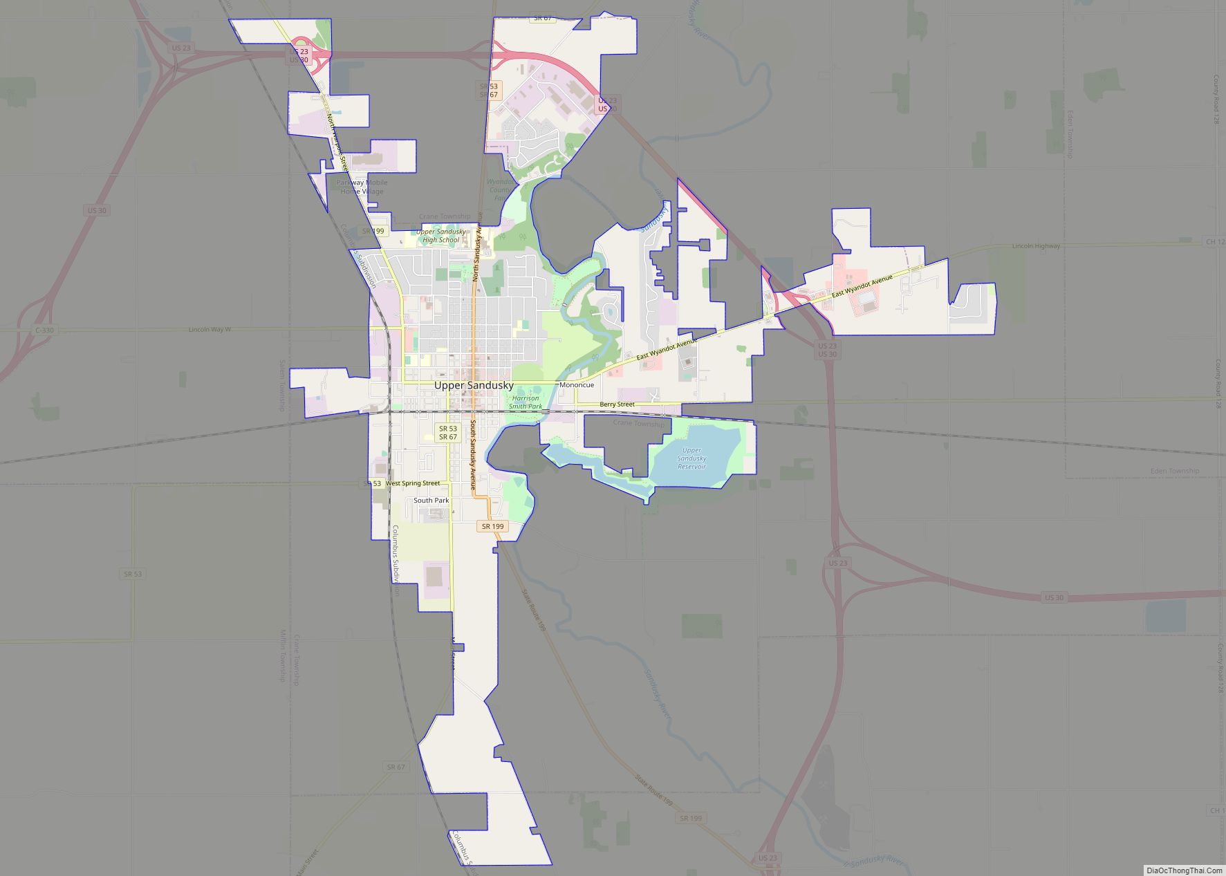
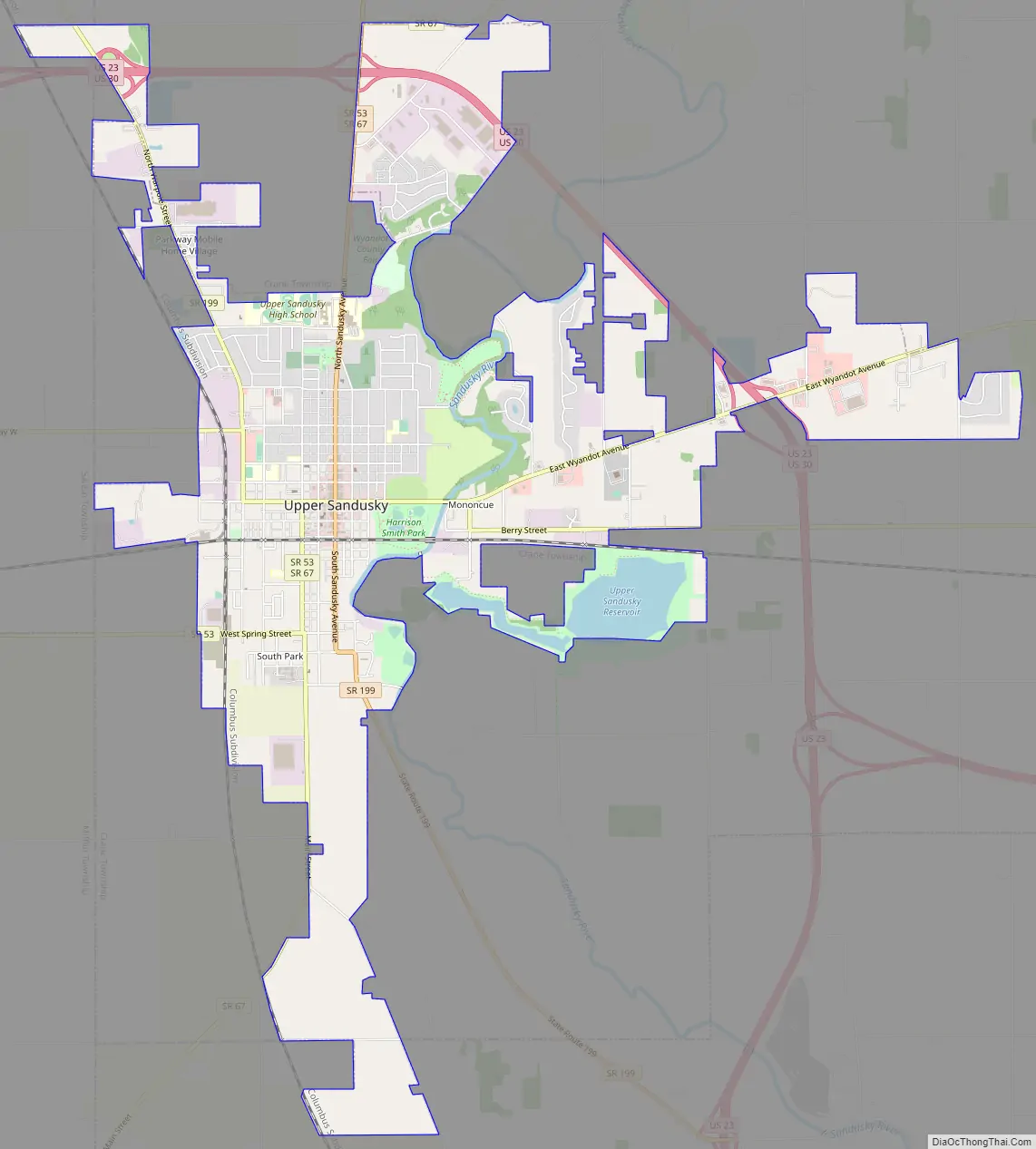
Upper Sandusky Road Map
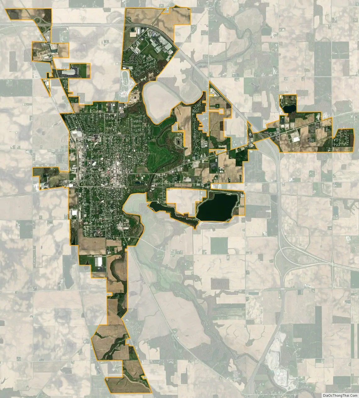
Upper Sandusky city Satellite Map
Geography
Upper Sandusky is located at 40°49′47″N 83°16′45″W / 40.82972°N 83.27917°W / 40.82972; -83.27917 (40.829608, -83.279102).
According to the United States Census Bureau, the city has a total area of 7.19 square miles (18.62 km), of which 7.01 square miles (18.16 km) is land and 0.18 square miles (0.47 km) is water.
See also
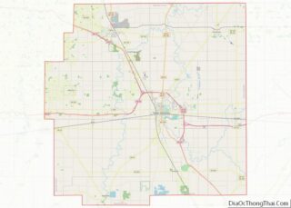
Map of Ohio State and its subdivision:- Adams
- Allen
- Ashland
- Ashtabula
- Athens
- Auglaize
- Belmont
- Brown
- Butler
- Carroll
- Champaign
- Clark
- Clermont
- Clinton
- Columbiana
- Coshocton
- Crawford
- Cuyahoga
- Darke
- Defiance
- Delaware
- Erie
- Fairfield
- Fayette
- Franklin
- Fulton
- Gallia
- Geauga
- Greene
- Guernsey
- Hamilton
- Hancock
- Hardin
- Harrison
- Henry
- Highland
- Hocking
- Holmes
- Huron
- Jackson
- Jefferson
- Knox
- Lake
- Lake Erie
- Lawrence
- Licking
- Logan
- Lorain
- Lucas
- Madison
- Mahoning
- Marion
- Medina
- Meigs
- Mercer
- Miami
- Monroe
- Montgomery
- Morgan
- Morrow
- Muskingum
- Noble
- Ottawa
- Paulding
- Perry
- Pickaway
- Pike
- Portage
- Preble
- Putnam
- Richland
- Ross
- Sandusky
- Scioto
- Seneca
- Shelby
- Stark
- Summit
- Trumbull
- Tuscarawas
- Union
- Van Wert
- Vinton
- Warren
- Washington
- Wayne
- Williams
- Wood
- Wyandot
- Alabama
- Alaska
- Arizona
- Arkansas
- California
- Colorado
- Connecticut
- Delaware
- District of Columbia
- Florida
- Georgia
- Hawaii
- Idaho
- Illinois
- Indiana
- Iowa
- Kansas
- Kentucky
- Louisiana
- Maine
- Maryland
- Massachusetts
- Michigan
- Minnesota
- Mississippi
- Missouri
- Montana
- Nebraska
- Nevada
- New Hampshire
- New Jersey
- New Mexico
- New York
- North Carolina
- North Dakota
- Ohio
- Oklahoma
- Oregon
- Pennsylvania
- Rhode Island
- South Carolina
- South Dakota
- Tennessee
- Texas
- Utah
- Vermont
- Virginia
- Washington
- West Virginia
- Wisconsin
- Wyoming