York County is a county in the U.S. state of Nebraska. As of the 2010 United States Census, the population was 13,665. Its county seat is York.
In the Nebraska license plate system, York County is represented by the prefix 17 (it had the seventeenth-largest number of vehicles registered in the county when the license plate system was established in 1922).
| Name: | York County |
|---|---|
| FIPS code: | 31-185 |
| State: | Nebraska |
| Founded: | 1855 |
| Seat: | York |
| Largest city: | York |
| Total Area: | 576 sq mi (1,490 km²) |
| Land Area: | 573 sq mi (1,480 km²) |
| Total Population: | 14,244 |
| Population Density: | 24.1/sq mi (9.3/km²) |
| Time zone: | UTC−6 (Central) |
| Summer Time Zone (DST): | UTC−5 (CDT) |
| Website: | www.yorkcounty.ne.gov |
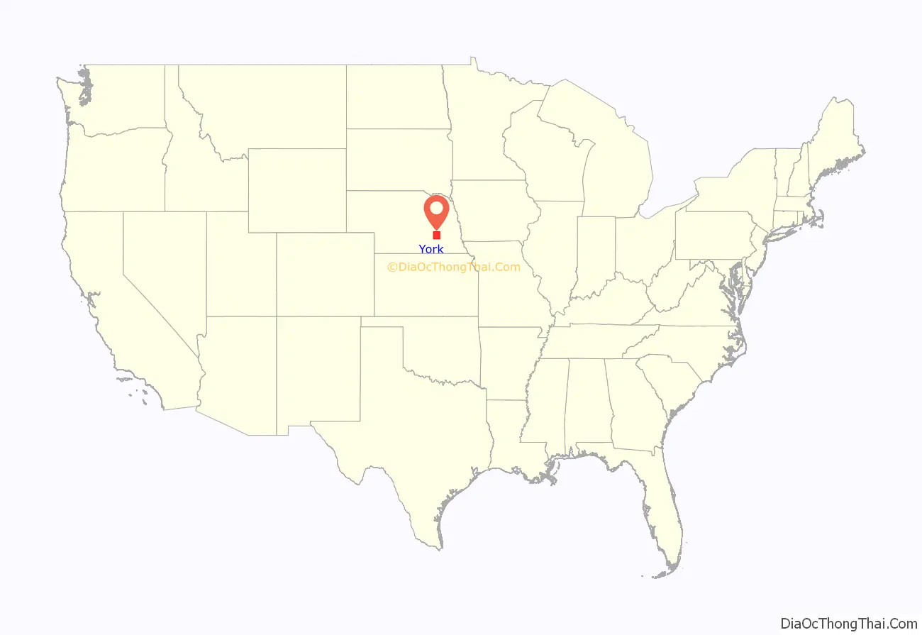
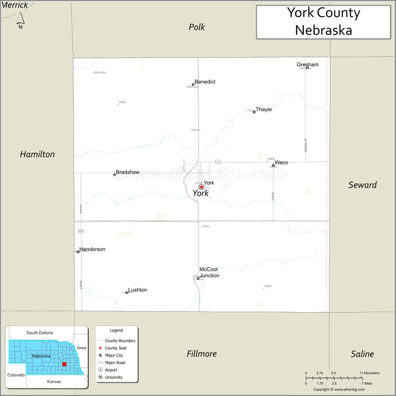
York County location map. Where is York County?
History
York County was organized in 1870. Sources differ on the origin of the county’s name: some state it was named after York in England, while others maintain it was named by early settlers from York County, Pennsylvania.
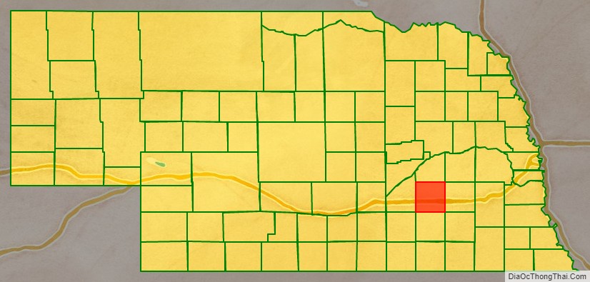
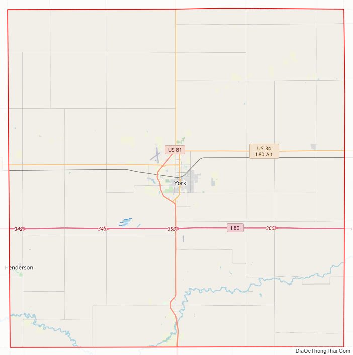
York County Road Map
Geography
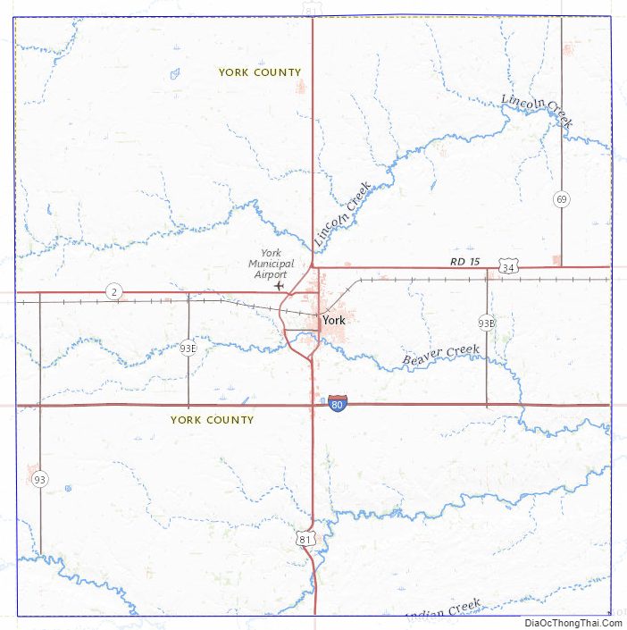
The terrain of York County consists of rolling prairie, mostly devoted to agriculture. The ground slopes toward the Platte River, to the northwest. The county has a total area of 576 square miles (1,490 km), of which 573 square miles (1,480 km) is land and 3.3 square miles (8.5 km) (0.6%) is water.
Major highways
- Interstate 80
- U.S. Highway 34
- U.S. Highway 81
- Nebraska Highway 69
Adjacent counties
- Butler County – northeast
- Seward County – east
- Saline County – southeast
- Fillmore County – south
- Clay County – southwest
- Hamilton County – west
- Polk County – north
Protected areas
- Kirkpatrick Basin North State Wildlife Area
- Kirkpatrick Basin South State Wildlife Area
- Renquist Basin State Wildlife Management Area
- Waco Waterfowl Production Area
York County Topographic Map
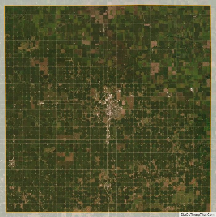
York County Satellite Map
York County Outline Map