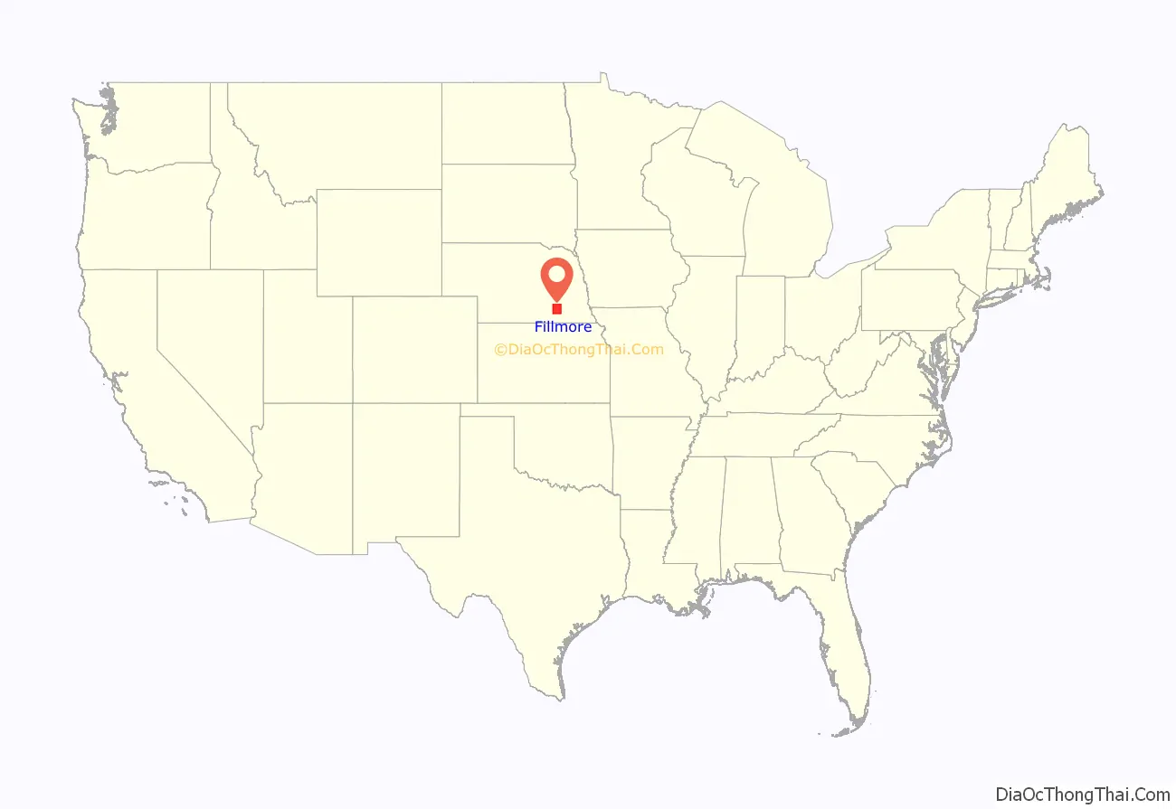
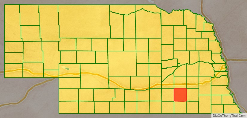
Fillmore County is a county located in the U.S. state of Nebraska. As of the 2010 United States Census, the population was 5,890. Its county seat is Geneva. The county was named for President Millard Fillmore.
In the Nebraska license plate system, Fillmore County is represented by the prefix 34 (it had the thirty-fourth largest number of vehicles registered in the county when the license plate system was established in 1922).
| Name: | Fillmore County |
|---|---|
| FIPS code: | 31-059 |
| State: | Nebraska |
| Founded: | 1856 |
| Named for: | Millard Fillmore |
| Seat: | Geneva |
| Largest city: | Geneva |
| Total Area: | 577 sq mi (1,490 km²) |
| Land Area: | 575 sq mi (1,490 km²) |
| Total Population: | 5,546 |
| Population Density: | 9.7/sq mi (3.7/km²) |
| Time zone: | UTC−6 (Central) |
| Summer Time Zone (DST): | UTC−5 (CDT) |
| Website: | www.fillmorecounty.org |
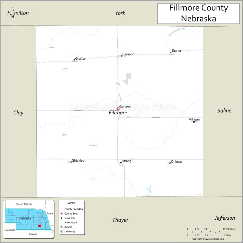
Fillmore County location map. Where is Fillmore County?
History
Fillmore County was established, and its boundaries defined, by the Nebraska Territorial Legislature in 1856. It was named for Millard Fillmore, the thirteenth president of the United States, who had left office in 1853.
The first homesteaders arrived in the county in 1866. Ohio natives William O. Bussard and William C. Whitaker filed claims on the West Fork of the Big Blue River in the county’s northeastern portion. Settlement of the area was slow until 1870; it was concentrated in the county’s northern part, in part because the surveyed route of the Burlington and Missouri River Railroad ran through York County just north of the present-day York-Fillmore county line. In 1870, Fillmore City, the county’s first town, was established on the Big Blue about four miles (6 km) north of present-day Grafton; in 1871, the county’s first post office opened in Fillmore City.
In 1871, the Burlington and Missouri laid its tracks through the area. A recent change in federal law allowed them to alter their route, shifting it about five miles (8 km) south of their original surveyed path. This placed the route on more level country, reducing the cost of cutting and bridging; it also shifted the line from York County to northern Fillmore County.
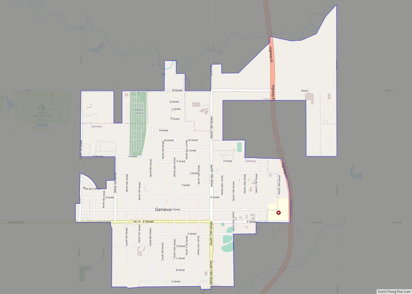
The county was formally organized in 1871; up to this time, it had been administered from, and taxed by, Saline County, its neighbor to the east. In April, an election was held to choose officers to organize the county; at this time, it was decided to place the county seat in the county’s center. The town site was surveyed and platted, and given the name “Henry”. It could not be occupied, since it was on school land owned by the State; an act of the Legislature was necessary before the land could be sold.
The Legislature passed a bill in the summer of 1872 to allow sale of the school lands. At about that time, the new county seat’s name was changed from “Henry” to “Geneva”, at the suggestion of the daughter of a local settler, who wanted it named after her family’s old home of Geneva, Illinois.
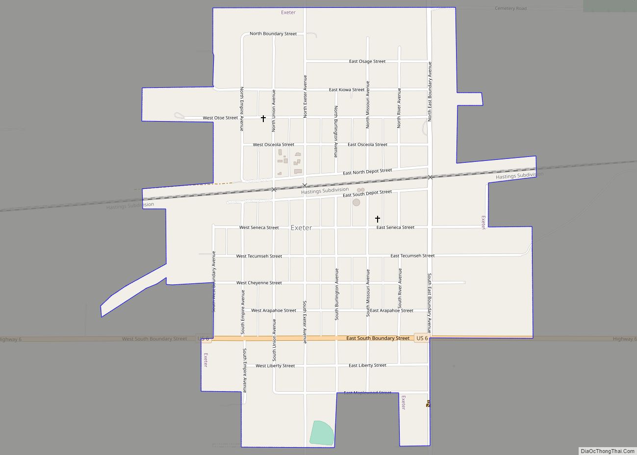
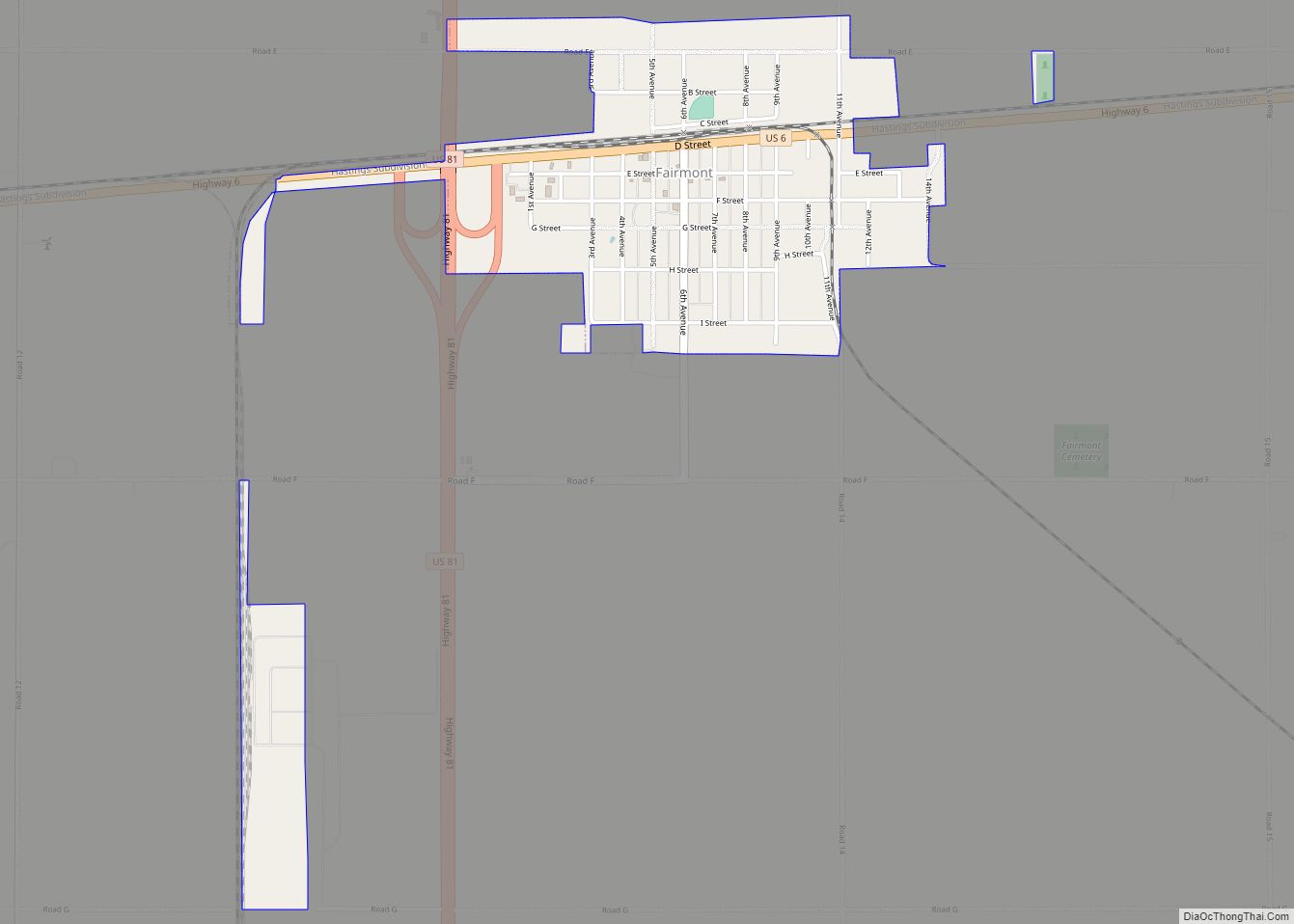
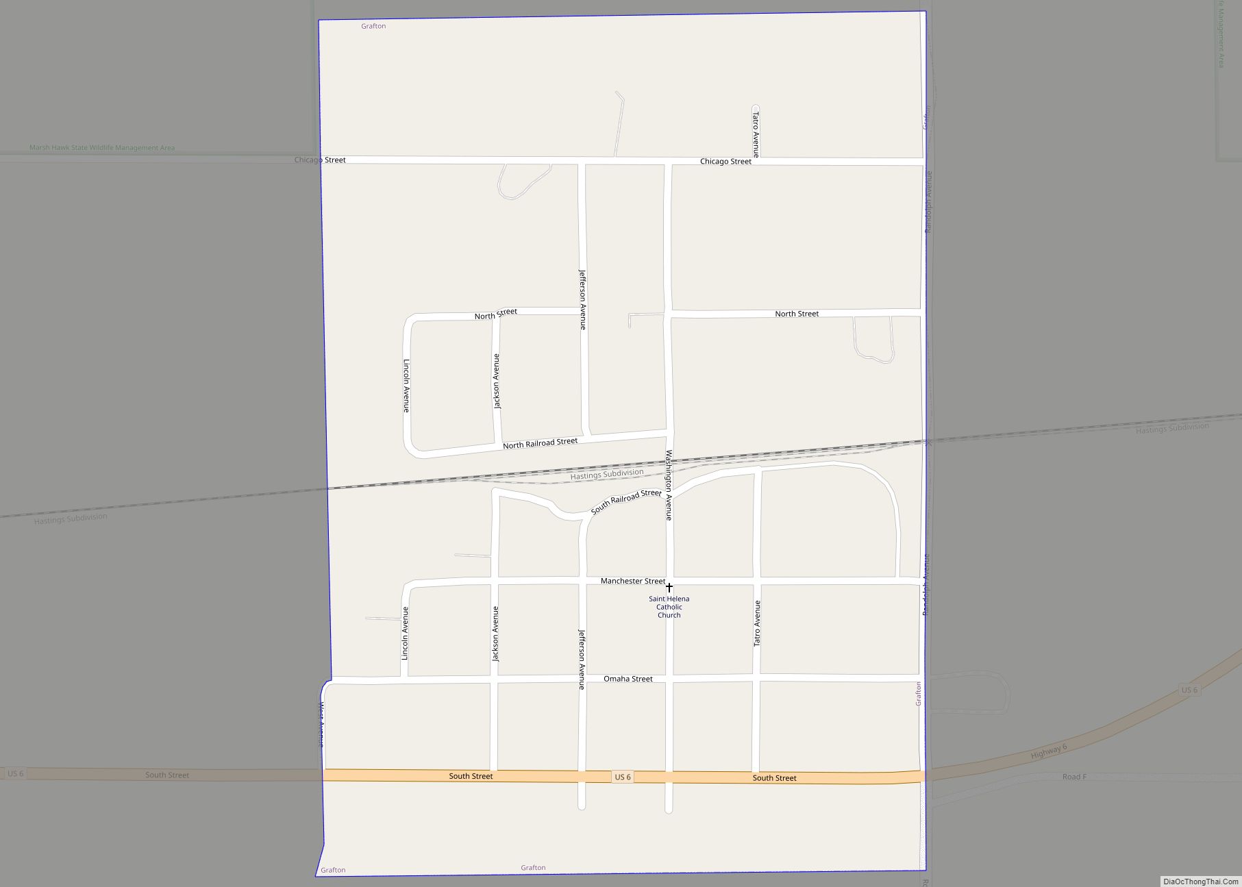
The county grew rapidly through the first years of the 1870s. Three towns were established along the Burlington line; in keeping with the railroad’s practice of naming their towns alphabetically, they were dubbed Exeter, Fairmont, and Grafton. By 1873, the entire county had been “thickly settled”. Its growth suffered a check in the mid-1870s, due to the worldwide depression following the Panic of 1873 and an infestation of grasshoppers in the late summer of 1874.
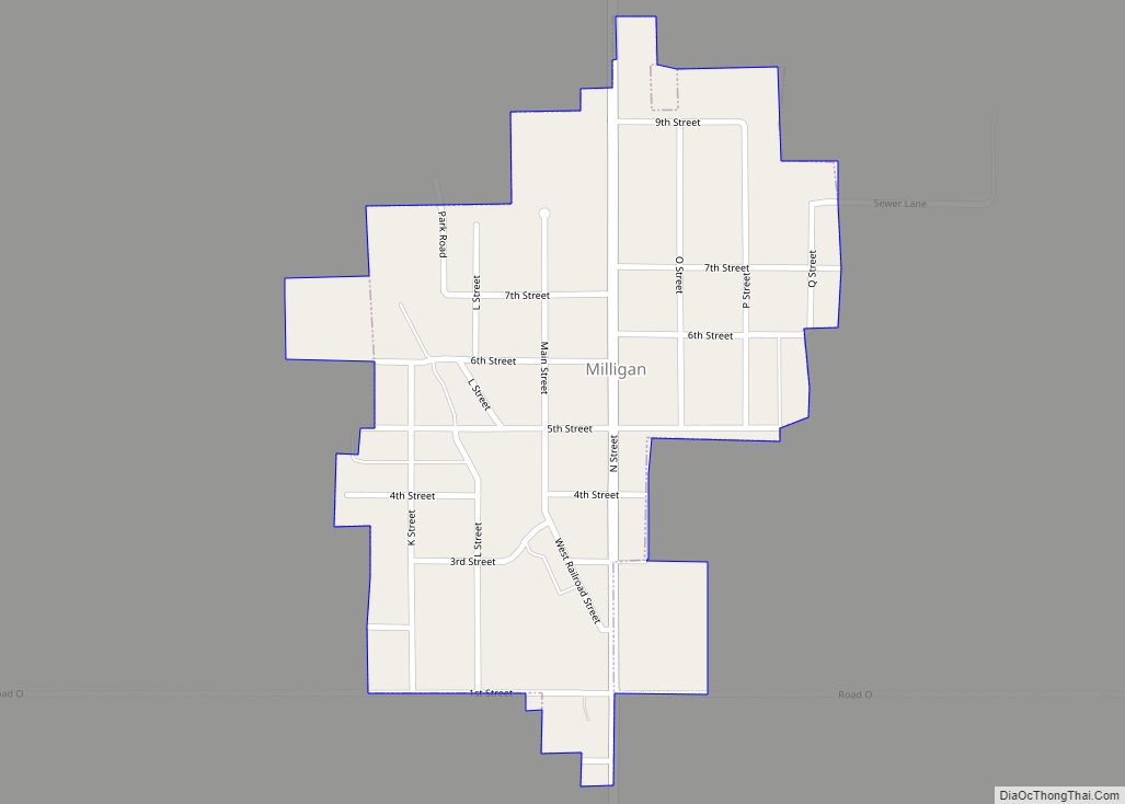
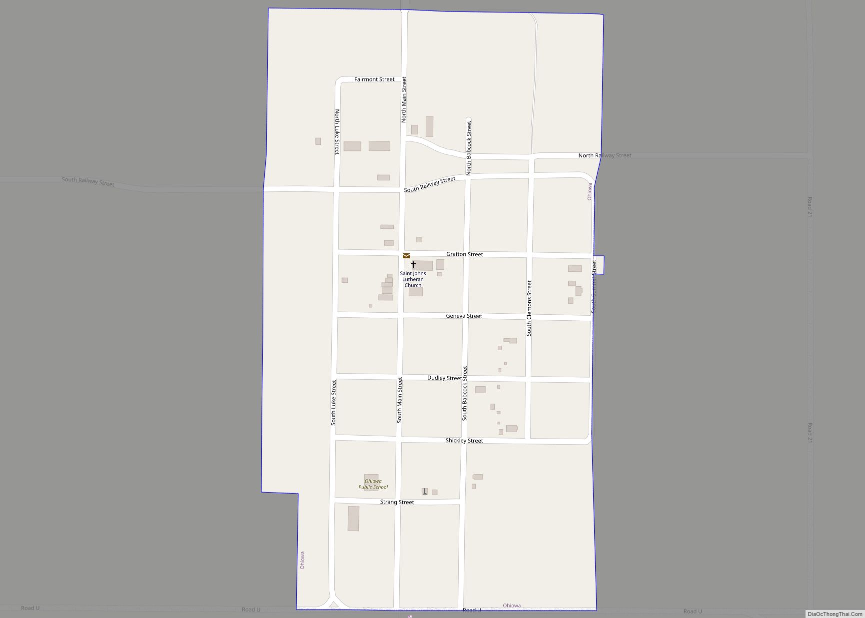
As additional railroad lines were constructed through the county, new towns were established. In about 1886, the Burlington built a branch line from Beatrice to Holdrege, running east–west through southern Fillmore County; Shickley, Strang, and Ohiowa were founded on or near the route. A north–south line connected this branch to the Burlington’s main line, running from Strang to Fairmont. Milligan was established in 1887, on the Kansas City and Omaha line.
Several ethnic European enclaves developed during the time of the county’s homesteading. An extensive Czech settlement covered much of Saline County and extended into eastern Fillmore County, including Milligan. A concentration of Swedish immigrants developed in eastern Clay County, extending into southwestern Fillmore County in the area between Shickley and Ong. German settlements formed in both the county’s southeastern and southwestern corners.
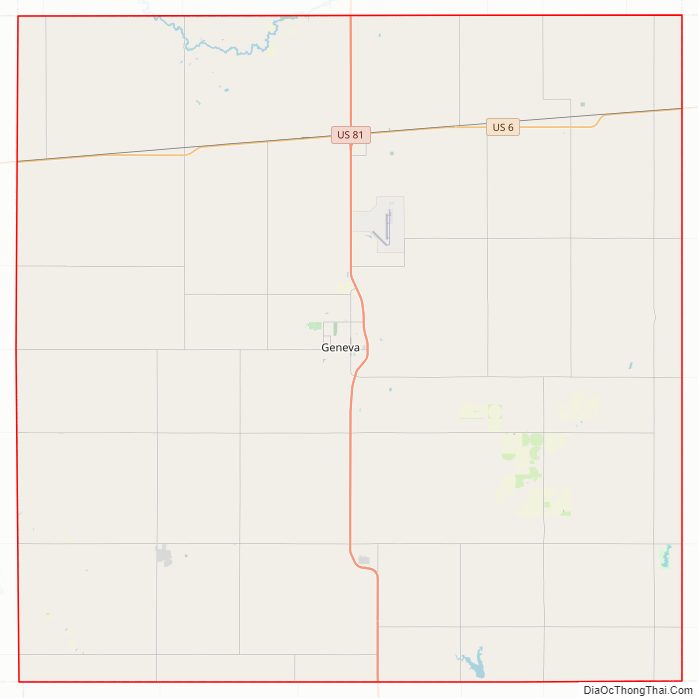
Fillmore County Road Map
Geography
According to the US Census Bureau, the county has an area of 577 square miles (1,490 km), of which 575 square miles (1,490 km) is land and 1.2 square miles (3.1 km) (0.2%) is water.
The county lies within the watershed of the Big Blue River. Water in the county drains via the West Fork of the Big Blue; via Turkey Creek, which runs into the Big Blue near De Witt, Nebraska; and via the Little Blue, which joins the Big Blue in Kansas.
Fillmore County lies within the eastern portion of Nebraska’s loess plain, a region of soil deposited by the wind between 25,000 and 13,000 years ago, forming a plain that slopes to the southeast. The Big Blue and its tributaries have incised channels into the loess surface in places, but in much of the county the original plain remains. These loess-plain regions are characterized by extensive upland flats with shallow depressions, lined with fine-grained and relatively impermeable silt, and tend to form shallow ephemeral wetlands when filled with rain or snowmelt; such wetlands range in area from less than 40 acres (16 ha) to more than 500 acres (200 ha).
The county’s surface is underlain by Cretaceous sedimentary bedrock, topped with unconsolidated Quaternary sediments. The bedrock was eroded into hills and valleys before the deposition of the overlying sediments, so the thickness of the latter varies. The unconsolidated sediments range in thickness from 60 to 450 feet (18 to 137 m); they form an aquifer whose saturated zone ranges in thickness from 20 to 350 feet (6.1 to 106.7 m).
Adjacent counties
- York County – north
- Seward County – northeast
- Saline County – east
- Jefferson County – southeast
- Thayer County – south
- Nuckolls County – southwest
- Clay County – west
- Hamilton County – northwest
Protected areas
- Bluebill State Wildlife Management Area
- Marsh Hawk State Wildlife Management Area
- Morphy Lagoon National Wildlife Management Area
- Rauscher Lagoon National Wildlife Management Area
- Redhead Wildlife Management Area
- Rolland Lagoon National Wildlife Management Area
- Sandpiper State Wildlife Management Area
- Sora Wildlife Management Area
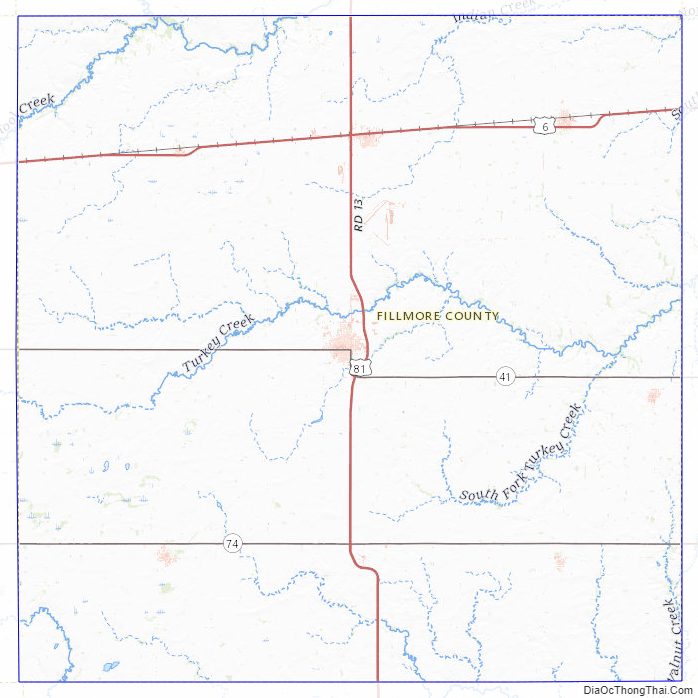
Fillmore County Topographic Map
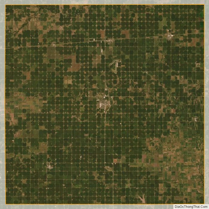
Fillmore County Satellite Map
Fillmore County Outline Map