Stilwell is a city and county seat of Adair County, Oklahoma, United States. The population was 3,700 as of the 2020 U.S. census, a decline of 6.7 percent from the 3,949 population recorded in 2010. The Oklahoma governor and legislature proclaimed Stilwell as the “Strawberry Capital of the World” in 1949, but the role of strawberries in the local economy has diminished significantly since then. Today, residents of Stilwell are among the poorest and most impoverished in the United States. Stilwell also serves as a gateway to Lake Tenkiller and Adair Park, formerly called Adair State Park before it was defunded.
| Name: | Stilwell city |
|---|---|
| LSAD Code: | 25 |
| LSAD Description: | city (suffix) |
| State: | Oklahoma |
| County: | Adair County |
| Incorporated: | 1897 |
| Elevation: | 1,089 ft (332 m) |
| Total Area: | 3.46 sq mi (8.95 km²) |
| Land Area: | 3.43 sq mi (8.89 km²) |
| Water Area: | 0.02 sq mi (0.06 km²) |
| Total Population: | 3,700 |
| Population Density: | 1,077.77/sq mi (416.12/km²) |
| ZIP code: | 74960 |
| Area code: | 539/918 |
| FIPS code: | 4070350 |
| GNISfeature ID: | 1098544 |
| Website: | cityofstilwell.com |
Online Interactive Map
Click on ![]() to view map in "full screen" mode.
to view map in "full screen" mode.
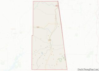
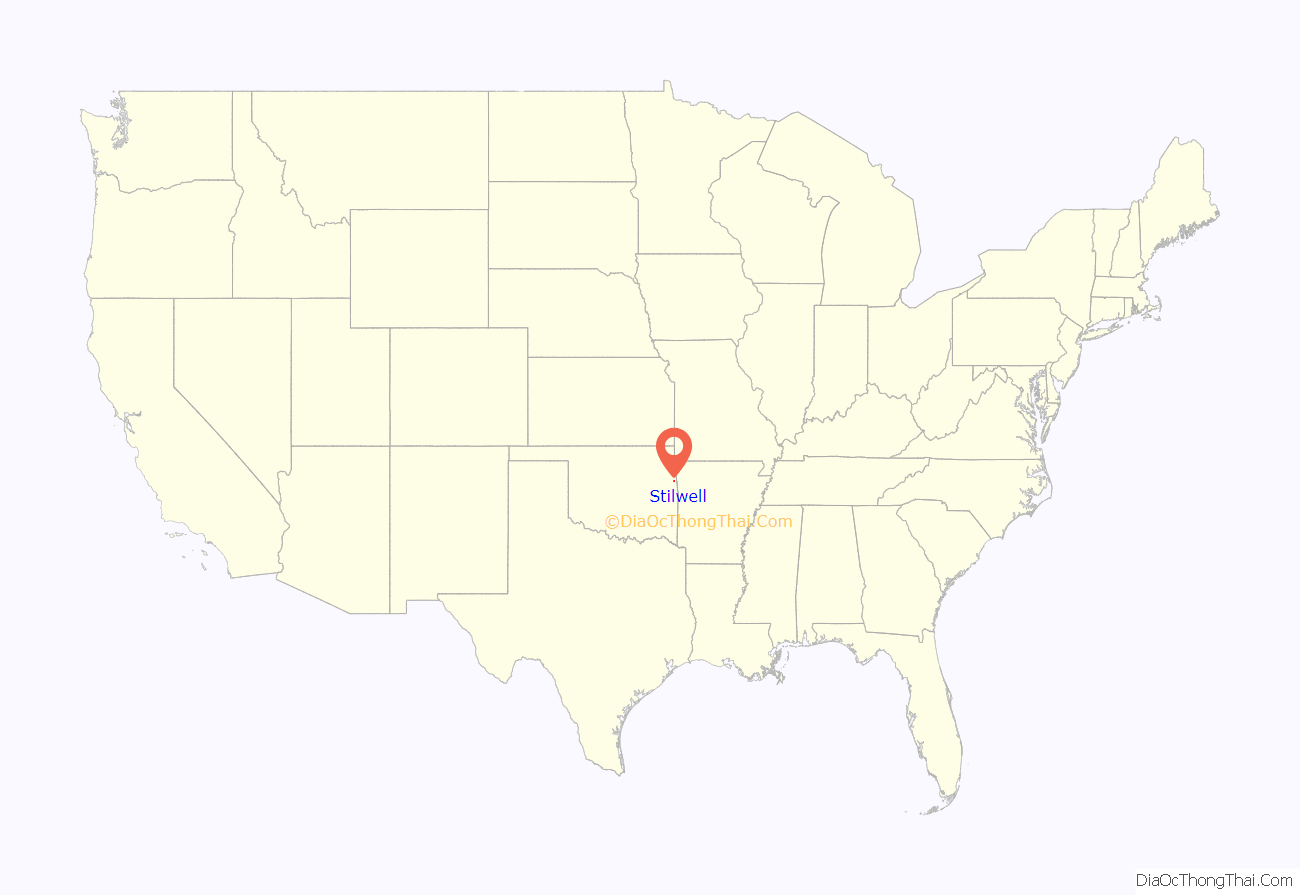
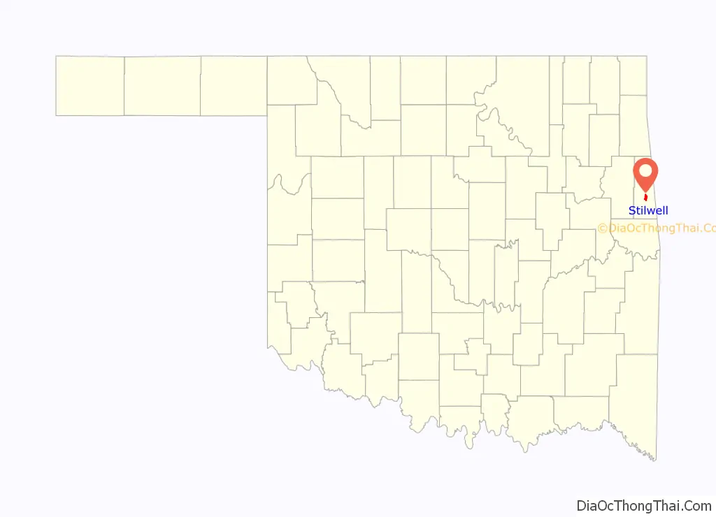
Stilwell location map. Where is Stilwell city?
History
Stilwell’s history began in 1838 as an end point of the Trail of Tears when the U.S. federal government forcibly relocated thousands of Indigenous people to the area. The event was called nu na da ul tsun yi in Cherokee language, or “the place where they cried”. The U.S. federal government set up a “disbandment depot” outside what is present-day Stilwell in the early months of 1839 to distribute food and supplies to the newly arrived Indigenous people. Those with resources quickly left to settle across the rest of Indian Territory, but the sickest and poorest stayed in the Stilwell area, close to the safety of the depot.
The Kansas City Southern Railway built a rail line through what is present-day Stilwell in 1896. The municipality developed because of the rail line and was incorporated as a town on January 2, 1897. The town was named after Arthur Stilwell, founder of the Kansas City Southern Railway.
As early as 1901, Stilwell and Westville vied for the role of county seat. When Adair County was formed in 1907, Westville was identified as the county seat, due partly to its location at the intersection of two major railroads: the Kansas City Southern Railway and the St. Louis–San Francisco Railway. After three intensely contested elections, however, Oklahoma governor Charles Haskell proclaimed Stilwell as the county seat on May 6, 1910.
In 1944, during World War II, a prisoner of war (P.O.W.) camp was established 5 miles (8 km) south of Stilwell. The camp housed 200 axis soldiers.
Stilwell was served by Kansas City Southern’s Southern Belle passenger rail line until November 2, 1969. The rail line connected Stilwell with daily trains to New Orleans and Kansas City, with stops in Northwest Arkansas, Joplin, Shreveport, Baton Rouge and many other cities in-between. A second line, The Flying Crow, also stopped in the town. The town’s train station fell into disrepair due to vandalism and was closed on February 22, 1971. The station building itself was restored in 2004 though passenger rail service was not.
During the Great Depression, strawberries emerged a major crop and cornerstone of the local economy. In 1948, a strawberry festival was organized, and in 1949, the state governor and legislature proclaimed Stilwell as “Strawberry Capital of the World.” Stilwell’s strawberry festival became an annual event. Over time, the strawberry industry weakened, cultivated acreage decreased and the role of strawberries in the local economy dissipated. Despite this, Stilwell still holds a strawberry festival annually and the town’s 2015 festival had approximately 30,000 people in attendance. Stilwell’s 2022 strawberry festival featured the largest parade in its 75 year history with over 100 floats.
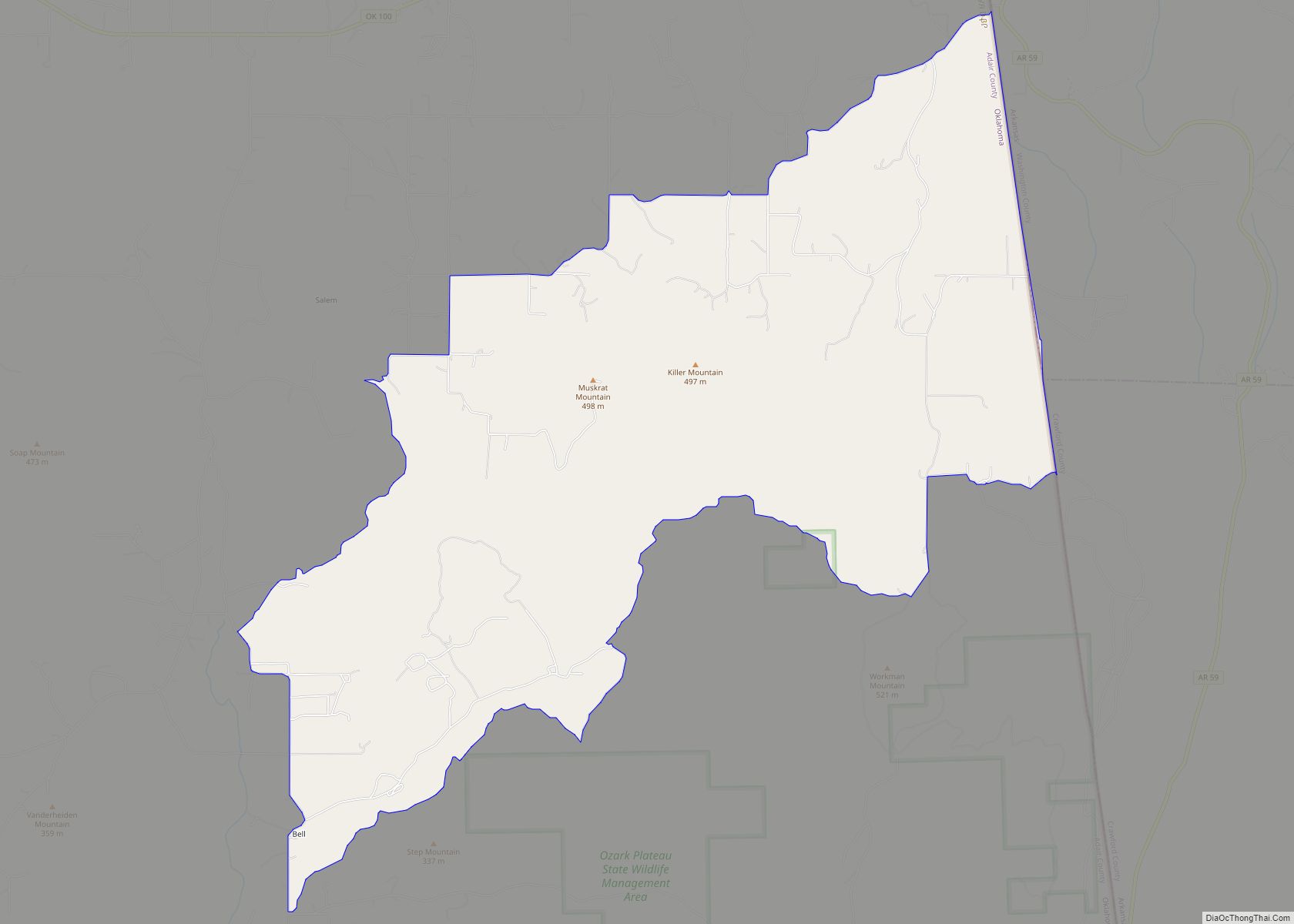
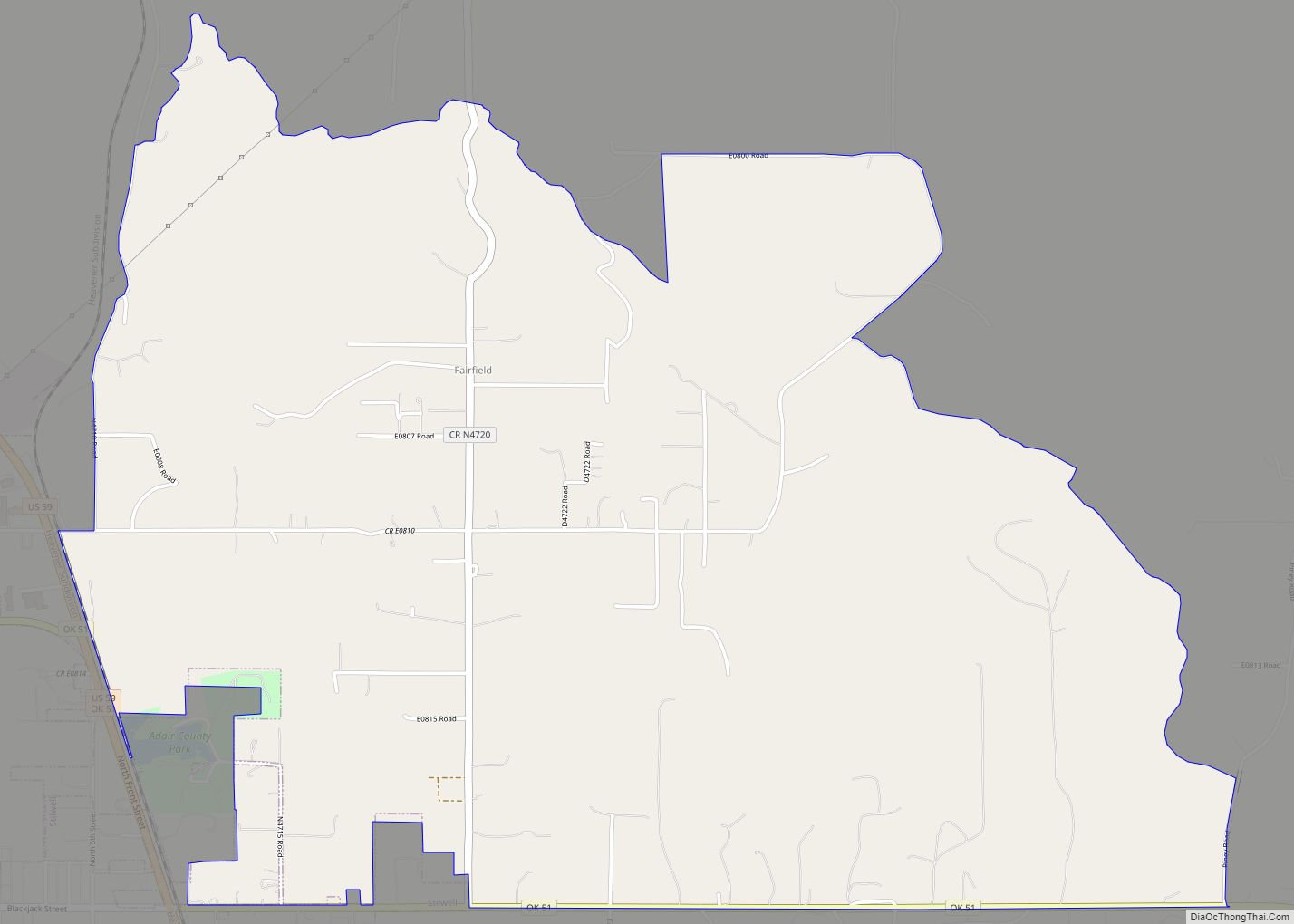
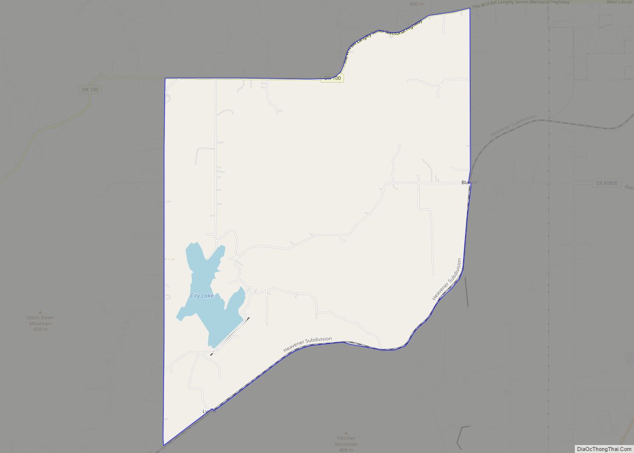
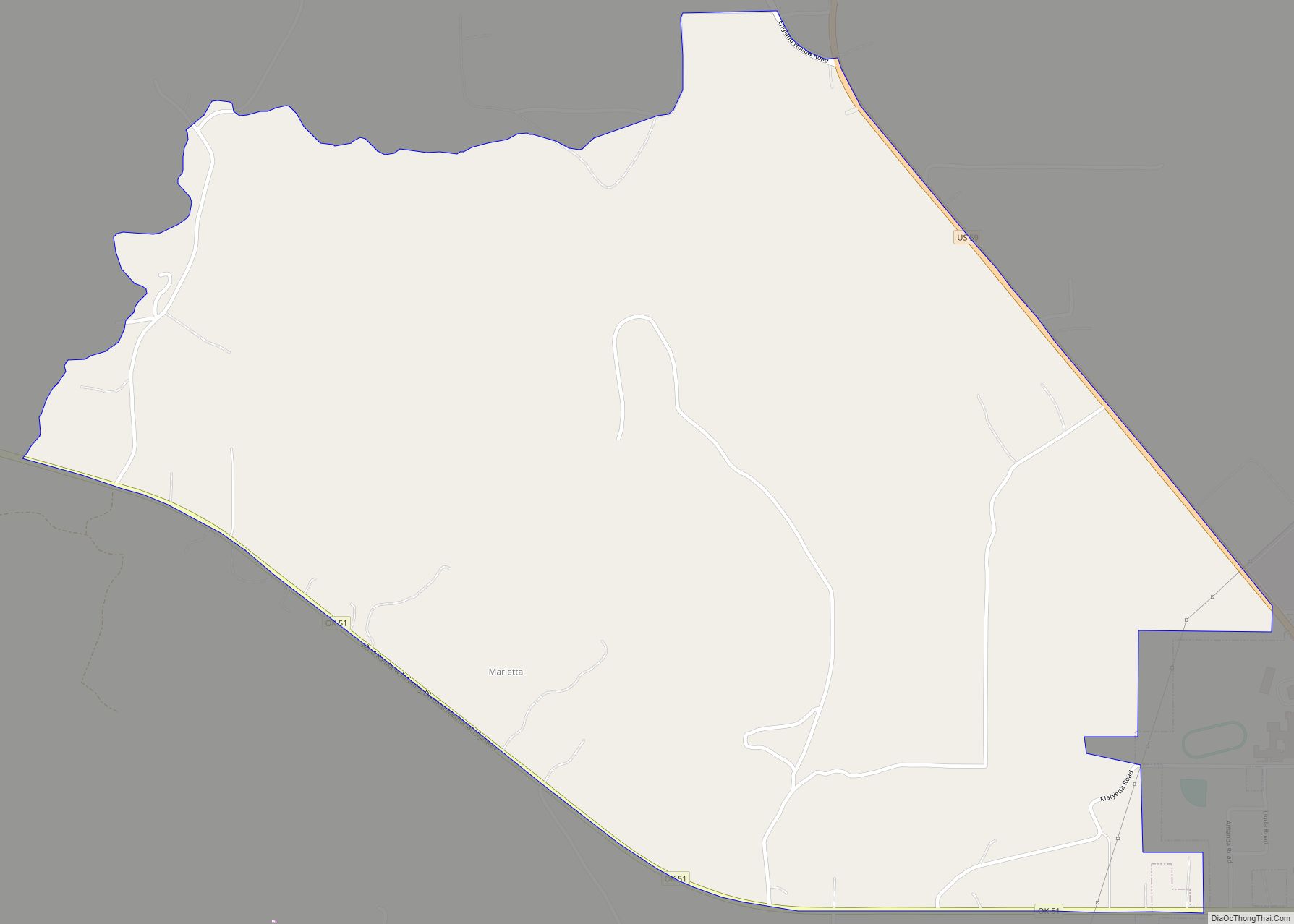
Stilwell Road Map
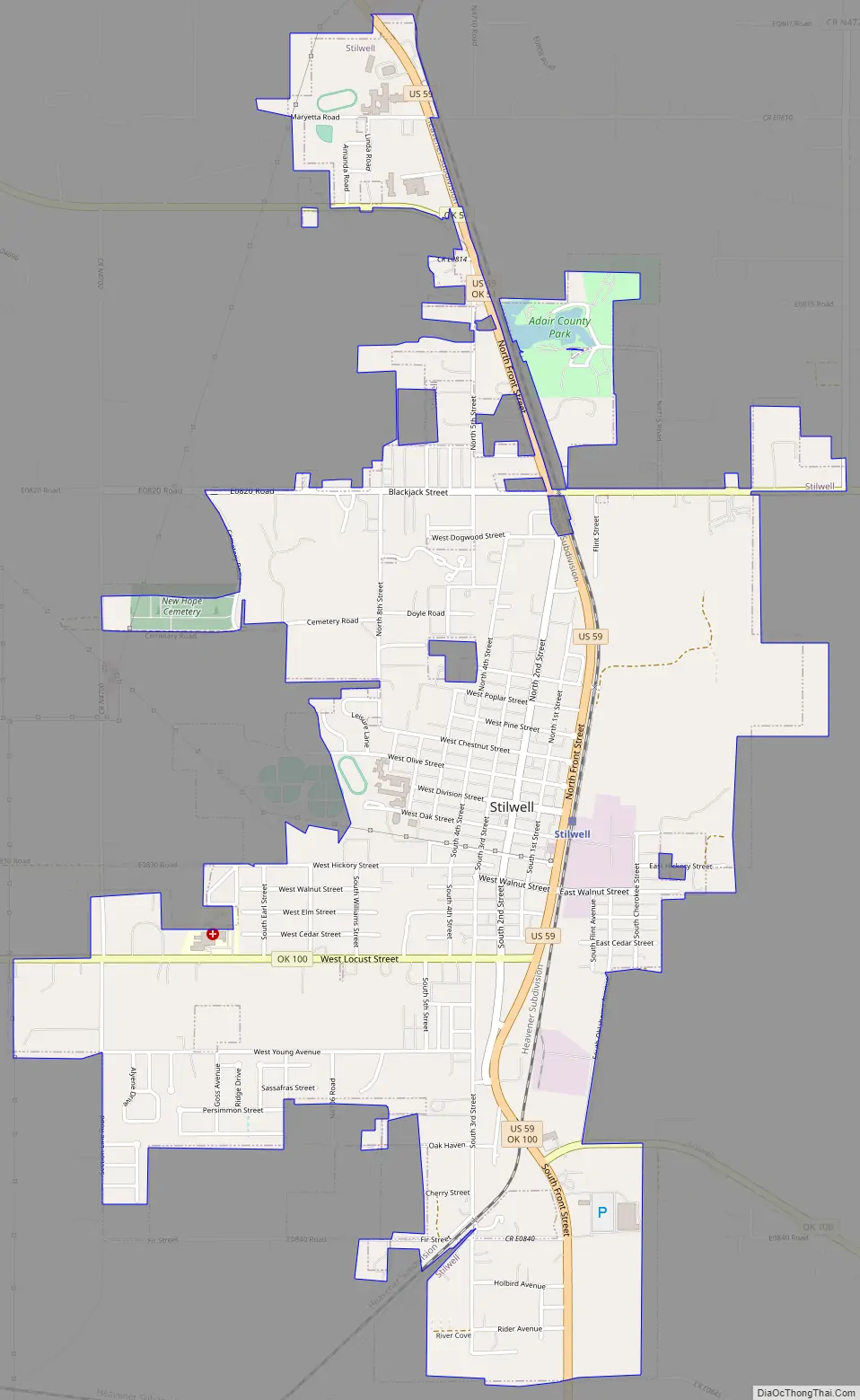
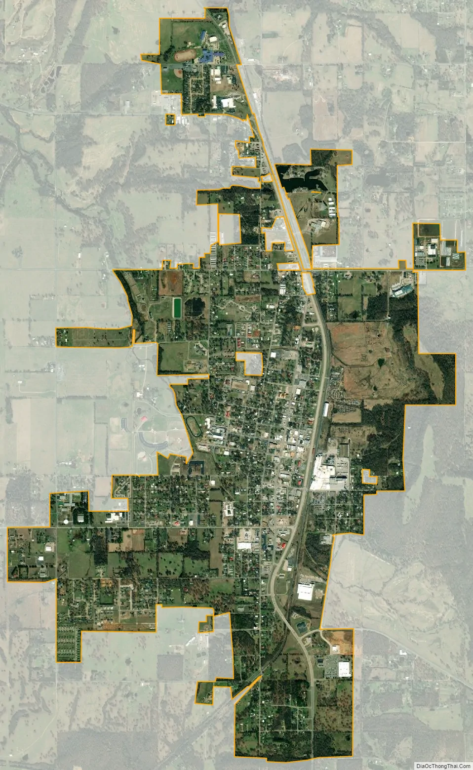
Stilwell city Satellite Map
Geography
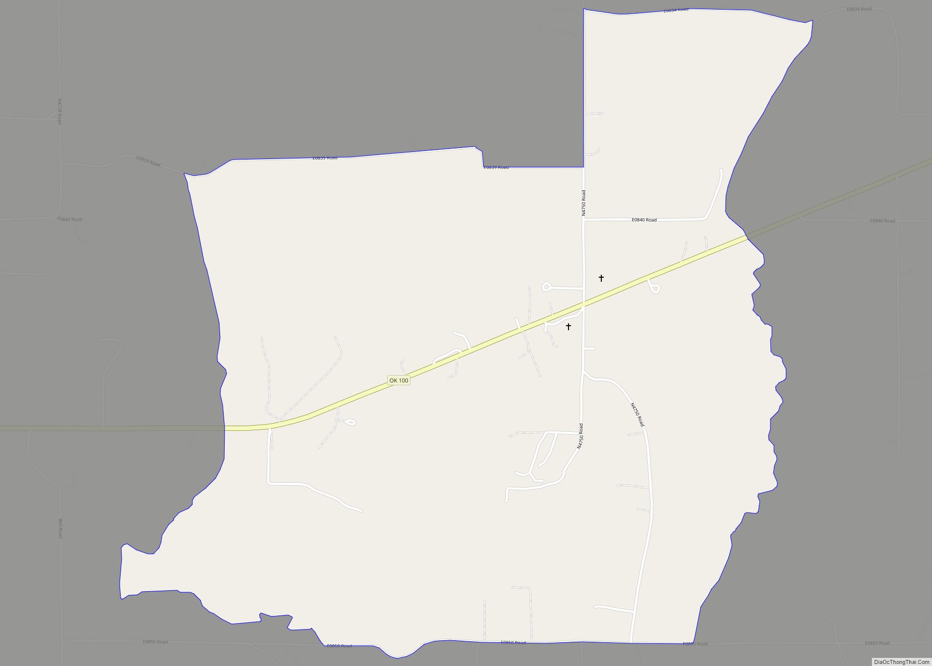
Stilwell is located at 35°48′55″N 94°37′53″W / 35.81528°N 94.63139°W / 35.81528; -94.63139 (35.815234, -94.631359). It is 8 miles (13 km) west of the Arkansas state line and 23 miles (37 km) east of Tahlequah, Oklahoma. Stilwell is at the intersection of U.S. Highway 59 and State Highway 51. Sallisaw and Little Lee creeks are nearby. According to the United States Census Bureau, the town has a total area of 3.2 square miles (8.3 km), of which 3.2 square miles (8.3 km) is land and 0.04 square miles (0.10 km) (0.63%) is water.
Earthquakes are often felt in Stilwell due to oil and gas production activities in central Oklahoma.
According to Jennifer Patterson, Oklahoma State University Adair County Extension Director, Stilwell is good for growing strawberries because of its rocky, acidic soil and good drainage. Below the ground in Stilwell lays chert rock, which breaks down into the soil and purportedly gives strawberries a unique taste.
See also
Map of Oklahoma State and its subdivision:- Adair
- Alfalfa
- Atoka
- Beaver
- Beckham
- Blaine
- Bryan
- Caddo
- Canadian
- Carter
- Cherokee
- Choctaw
- Cimarron
- Cleveland
- Coal
- Comanche
- Cotton
- Craig
- Creek
- Custer
- Delaware
- Dewey
- Ellis
- Garfield
- Garvin
- Grady
- Grant
- Greer
- Harmon
- Harper
- Haskell
- Hughes
- Jackson
- Jefferson
- Johnston
- Kay
- Kingfisher
- Kiowa
- Latimer
- Le Flore
- Lincoln
- Logan
- Love
- Major
- Marshall
- Mayes
- McClain
- McCurtain
- McIntosh
- Murray
- Muskogee
- Noble
- Nowata
- Okfuskee
- Oklahoma
- Okmulgee
- Osage
- Ottawa
- Pawnee
- Payne
- Pittsburg
- Pontotoc
- Pottawatomie
- Pushmataha
- Roger Mills
- Rogers
- Seminole
- Sequoyah
- Stephens
- Texas
- Tillman
- Tulsa
- Wagoner
- Washington
- Washita
- Woods
- Woodward
- Alabama
- Alaska
- Arizona
- Arkansas
- California
- Colorado
- Connecticut
- Delaware
- District of Columbia
- Florida
- Georgia
- Hawaii
- Idaho
- Illinois
- Indiana
- Iowa
- Kansas
- Kentucky
- Louisiana
- Maine
- Maryland
- Massachusetts
- Michigan
- Minnesota
- Mississippi
- Missouri
- Montana
- Nebraska
- Nevada
- New Hampshire
- New Jersey
- New Mexico
- New York
- North Carolina
- North Dakota
- Ohio
- Oklahoma
- Oregon
- Pennsylvania
- Rhode Island
- South Carolina
- South Dakota
- Tennessee
- Texas
- Utah
- Vermont
- Virginia
- Washington
- West Virginia
- Wisconsin
- Wyoming