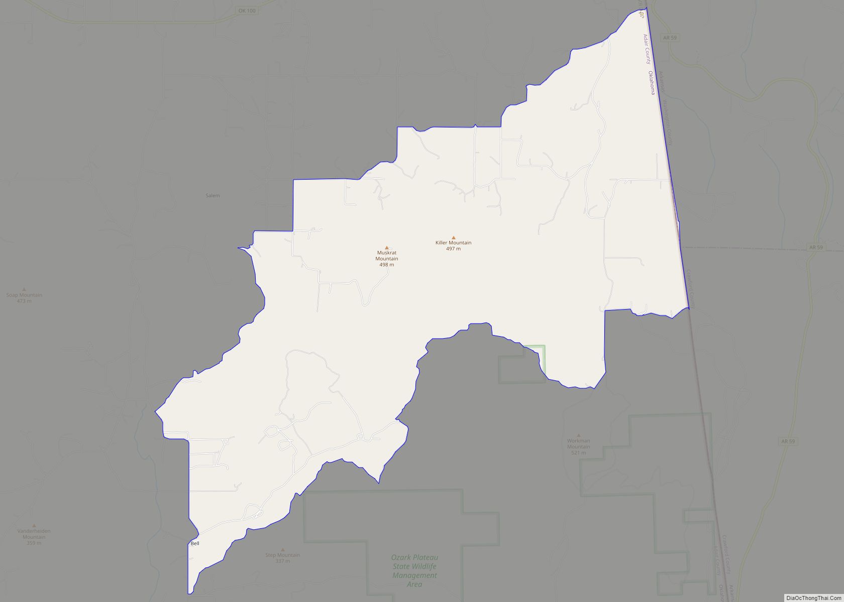
Westville is a town in Adair County, Oklahoma, located in the foothills of the Ozark Mountains. Westville lies at the junction of U.S. Highways 59 and 62, and approximately 13 miles north of Stilwell, the county seat.
| Name: | Westville town |
|---|---|
| LSAD Code: | 43 |
| LSAD Description: | town (suffix) |
| State: | Oklahoma |
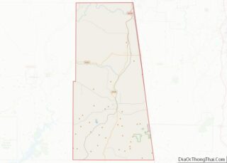
| County: | Adair County |
| Incorporated: | 1920 |
| Elevation: | 1,129 ft (344 m) |
| Total Area: | 1.66 sq mi (4.29 km²) |
| Land Area: | 1.65 sq mi (4.28 km²) |
| Water Area: | 0.00 sq mi (0.00 km²) |
| Total Population: | 1,364 |
| Population Density: | 825.17/sq mi (318.62/km²) |
| ZIP code: | 74965 |
| Area code: | 539/918 |
| FIPS code: | 4080450 |
| GNISfeature ID: | 1099641 |
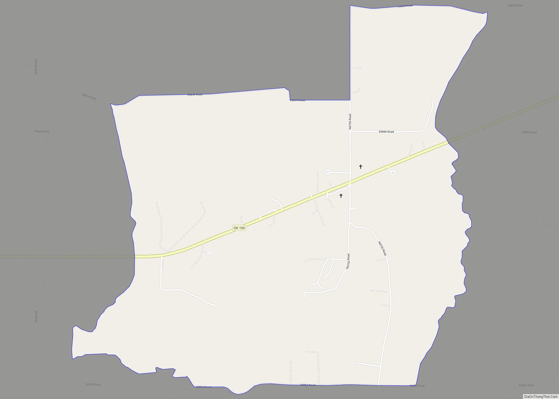
Online Interactive Map
Click on ![]() to view map in "full screen" mode.
to view map in "full screen" mode.
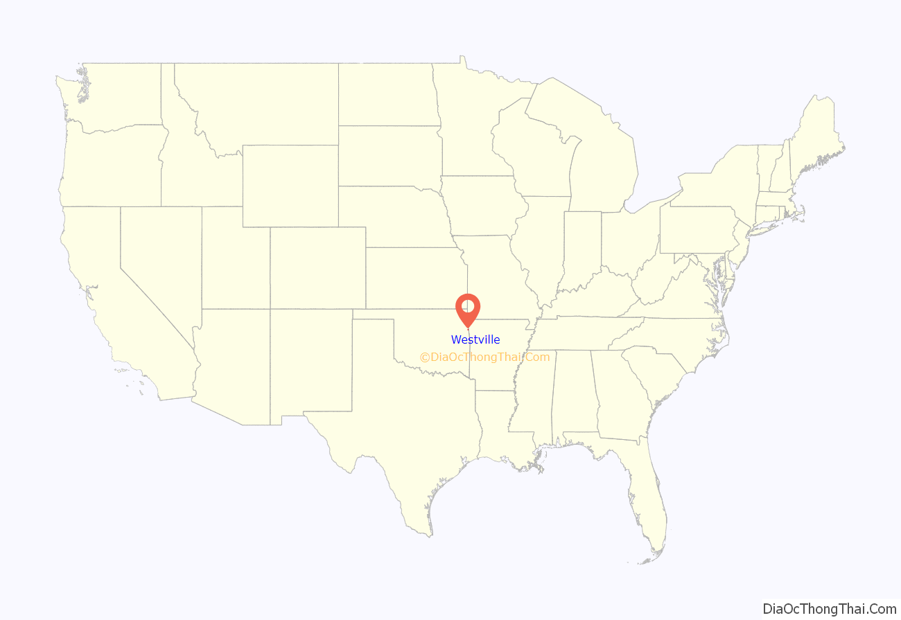
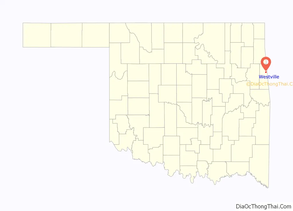
Westville location map. Where is Westville town?
History
Before statehood, Westville was a community in the Goingsnake District of the Cherokee Nation. The town was founded in 1895, when the Kansas City, Pittsburg and Gulf Railroad (later acquired by the Kansas City Southern Railroad) was constructing a rail line from Kansas City to the Gulf Coast. The Westville post office was established on November 18, 1895. The town name honored Jim West, who lived one mile south of nearby Cincinnati, Arkansas, and whose son, Jim West Jr., was an attorney for the Kansas City Southern Railway.
The original plat for the included 175 acres. Expansion came soon with the development of the William D. Williams addition and the Pat Dore Addition.
In 1902 a second rail line, the Ozark and Cherokee Central Railway, which ran from Fayetteville, Arkansas, to Okmulgee, Oklahoma, began operations through Westville, giving the town an enviable position at the rail junction. That line, later owned by St. Louis – San Francisco Railway, discontinued service to Westville in the late 1940s.
When Adair County was formed in 1907, Westville was identified as the county seat, due partly to its location at the intersection of two major railroads: the Kansas City Southern Railway and the St. Louis – San Francisco Railway. The county seat was moved to Stilwell in 1910.
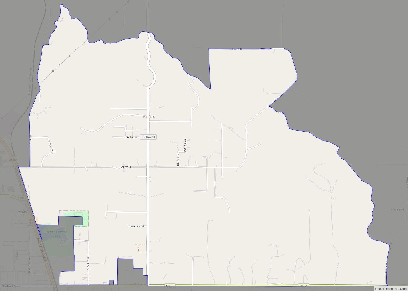
Westville Road Map
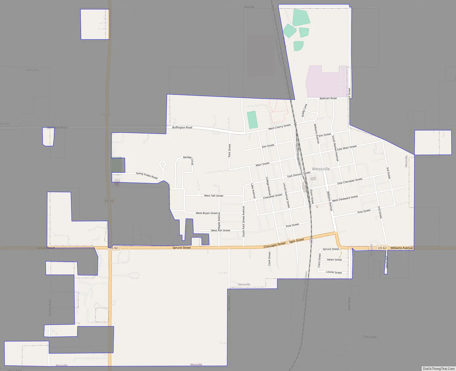
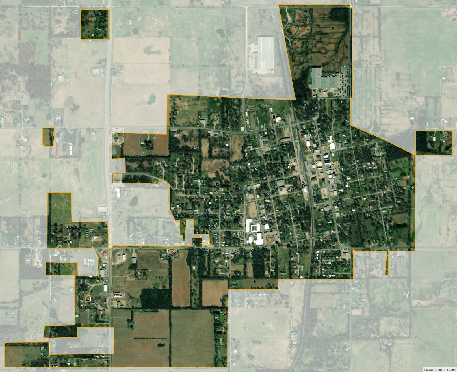
Westville city Satellite Map
Geography
Westville is located at 35°59′29″N 94°34′16″W / 35.99139°N 94.57111°W / 35.99139; -94.57111 (35.991414, -94.571088). It is 13 miles (21 km) north of Stilwell and 15 miles (24 km) south of Siloam Springs, Arkansas.
According to the United States Census Bureau, the town has a total area of 1.2 square miles (3.1 km), all land.
Westville is located at the intersection of U.S. Routes 59 and 62.
See also
Map of Oklahoma State and its subdivision:- Adair
- Alfalfa
- Atoka
- Beaver
- Beckham
- Blaine
- Bryan
- Caddo
- Canadian
- Carter
- Cherokee
- Choctaw
- Cimarron
- Cleveland
- Coal
- Comanche
- Cotton
- Craig
- Creek
- Custer
- Delaware
- Dewey
- Ellis
- Garfield
- Garvin
- Grady
- Grant
- Greer
- Harmon
- Harper
- Haskell
- Hughes
- Jackson
- Jefferson
- Johnston
- Kay
- Kingfisher
- Kiowa
- Latimer
- Le Flore
- Lincoln
- Logan
- Love
- Major
- Marshall
- Mayes
- McClain
- McCurtain
- McIntosh
- Murray
- Muskogee
- Noble
- Nowata
- Okfuskee
- Oklahoma
- Okmulgee
- Osage
- Ottawa
- Pawnee
- Payne
- Pittsburg
- Pontotoc
- Pottawatomie
- Pushmataha
- Roger Mills
- Rogers
- Seminole
- Sequoyah
- Stephens
- Texas
- Tillman
- Tulsa
- Wagoner
- Washington
- Washita
- Woods
- Woodward
- Alabama
- Alaska
- Arizona
- Arkansas
- California
- Colorado
- Connecticut
- Delaware
- District of Columbia
- Florida
- Georgia
- Hawaii
- Idaho
- Illinois
- Indiana
- Iowa
- Kansas
- Kentucky
- Louisiana
- Maine
- Maryland
- Massachusetts
- Michigan
- Minnesota
- Mississippi
- Missouri
- Montana
- Nebraska
- Nevada
- New Hampshire
- New Jersey
- New Mexico
- New York
- North Carolina
- North Dakota
- Ohio
- Oklahoma
- Oregon
- Pennsylvania
- Rhode Island
- South Carolina
- South Dakota
- Tennessee
- Texas
- Utah
- Vermont
- Virginia
- Washington
- West Virginia
- Wisconsin
- Wyoming