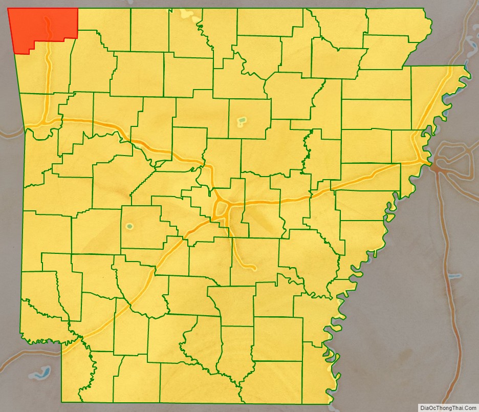
Benton County is a county within the Northwest Arkansas region with a culture, economy, and history that have transitioned from rural and agricultural to suburban and white collar since the growth of Walmart, which is headquartered in Benton County. Created as Arkansas’s 35th county on September 30, 1836, Benton County contains thirteen incorporated municipalities, including Bentonville, the county seat, and Rogers, the most populous city. The county was named after Thomas Hart Benton, a U.S. Senator from Missouri influential in Arkansas statehood.
The county is located within the gently rolling terrain of the Springfield Plateau, a subset of the Ozark Mountains. Much of eastern Benton County is located along Beaver Lake, a reservoir of the White River. The county contains three protected areas: Logan Cave National Wildlife Refuge, Pea Ridge National Military Park, and Devil’s Eyebrow Natural Area, as well as parts of the Ozark National Forest, Hobbs State Park – Conservation Area, and two state wildlife management areas. Other historical features such as log cabins, one-room school houses, community centers, and museums describe the history and culture of Benton County.
Benton County occupies 884.86 square miles (229,180 ha) and contained a population of 284,333 people in 100,749 households as of the 2020 Census, ranking it tenth in size and second in population among the state’s 75 counties. The economy is heavily influenced by the presence of Walmart and the hundreds of associated businesses, with agriculture, tourism, and construction also important sectors. Benton County has the highest median household income in the state, slightly above the national median.
| Name: | Benton County |
|---|---|
| FIPS code: | 05-007 |
| State: | Arkansas |
| Founded: | September 30, 1836 |
| Named for: | Thomas Hart Benton |
| Seat: | Bentonville |
| Largest city: | Rogers |
| Total Area: | 884 sq mi (2,290 km²) |
| Land Area: | 847 sq mi (2,190 km²) |
| Total Population: | 284,333 |
| Population Density: | 320/sq mi (120/km²) |
| Time zone: | UTC−6 (Central) |
| Summer Time Zone (DST): | UTC−5 (CDT) |
| Website: | www.bentoncountyar.gov |
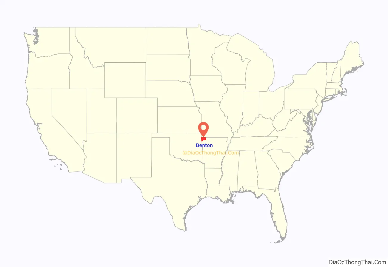
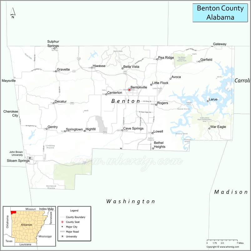
Benton County location map. Where is Benton County?
History
Benton County was created from Washington County by the 1st Arkansas General Assembly on September 30, 1836. Created shortly after statehood, it was named for Thomas Hart Benton, a U.S. Senator from Missouri influential in Arkansas’s statehood. Early white settlements were established at Maysville and Cross Hollow, but a new centrally located community was laid out, named Bentonville, and designated as county seat.
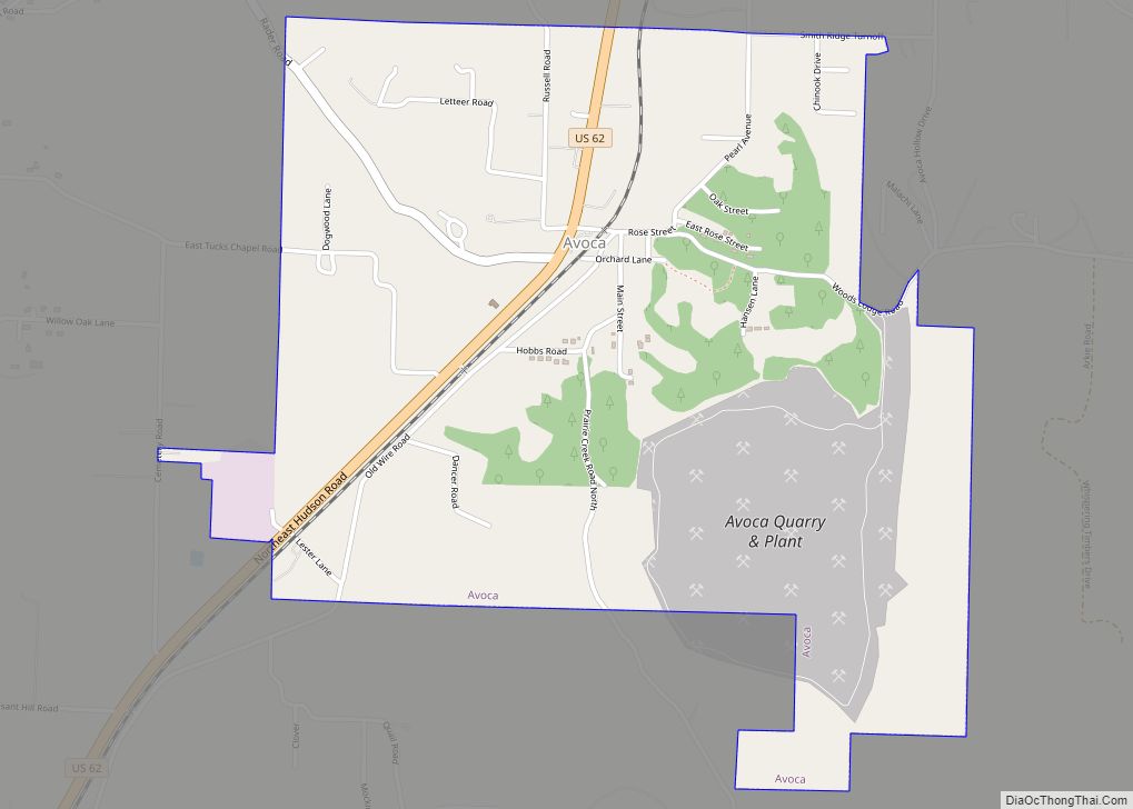
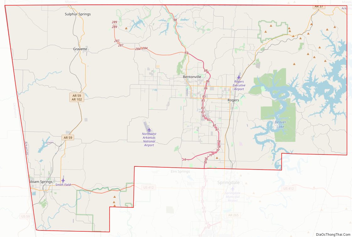
Benton County Road Map
Geography
According to the U.S. Census Bureau, the county has a total area of 884 square miles (2,290 km), of which 847 square miles (2,190 km) is land and 37 square miles (96 km) (4.1%) is water. Most of the water is in Beaver Lake.
Adjacent counties
- Barry County, Missouri (north)
- Carroll County (east)
- Madison County (southeast)
- Washington County (south)
- Adair County, Oklahoma (southwest)
- Delaware County, Oklahoma (west)
- McDonald County, Missouri (northwest)
National protected areas
- Logan Cave National Wildlife Refuge
- Ozark National Forest (part)
- Pea Ridge National Military Park
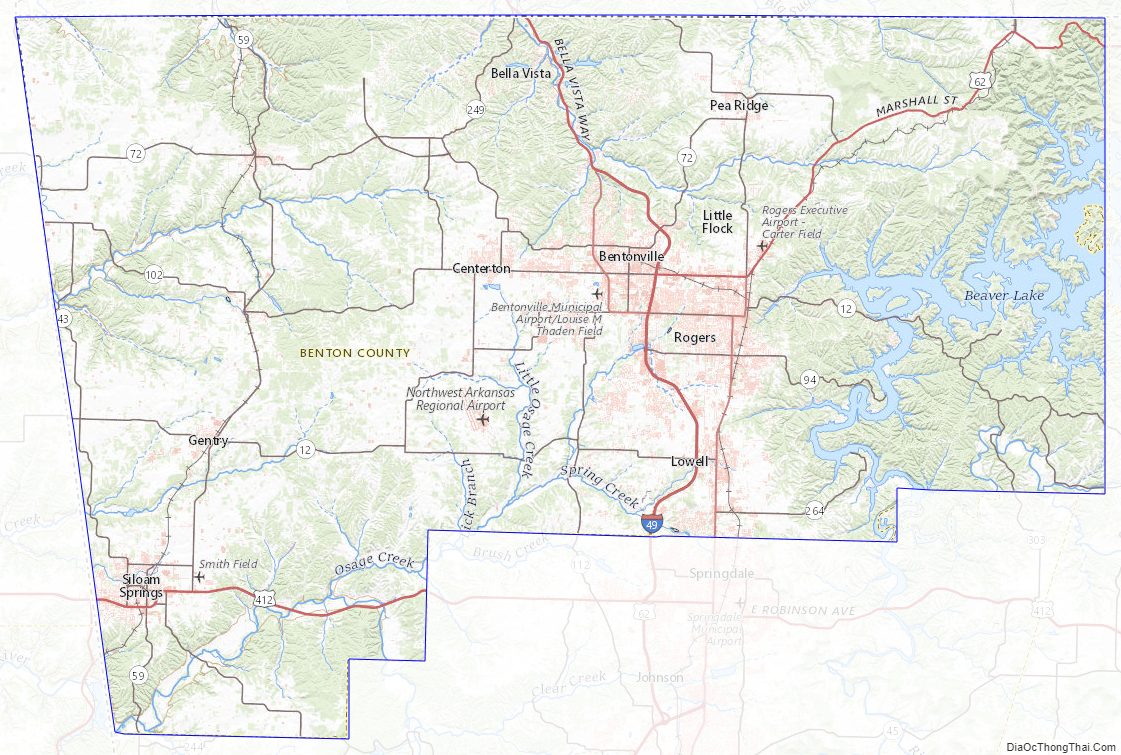
Benton County Topographic Map
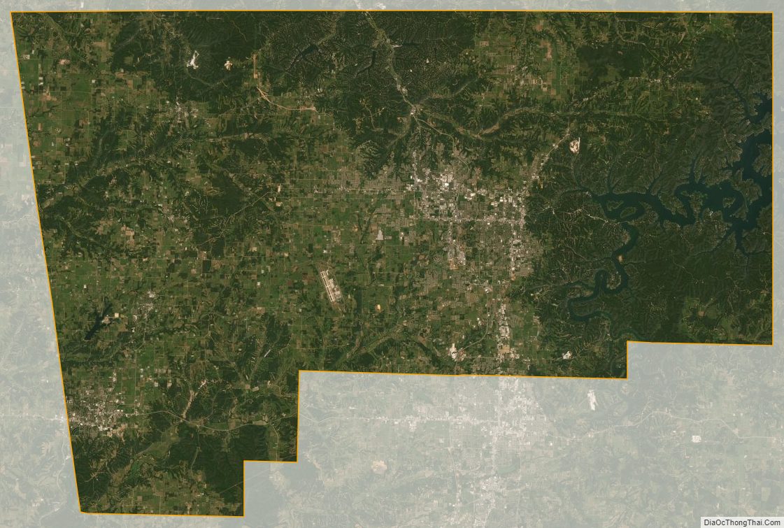
Benton County Satellite Map
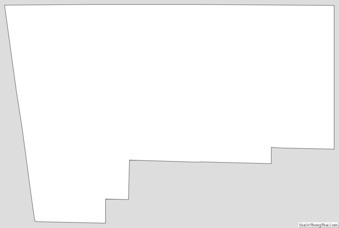
Benton County Outline Map