Crawford County is a county located in the Ozarks region of the U.S. state of Arkansas. As of the 2020 census, the population was 60,133. The county seat and largest city is Van Buren. Crawford County was formed on October 18, 1820, from the former Lovely County and Indian Territory, and was named for William H. Crawford, the United States Secretary of War in 1815.
Located largely within the Ozarks, the southern border of the county is the Arkansas River, placing the extreme southern edge of the county in the Arkansas River Valley. The frontier county became an early crossroads, beginning with a California Gold Rush and developing into the Butterfield Overland Mail, Civil War trails and railroads such as the St. Louis and San Francisco Railway, the Little Rock and Fort Smith Railroad, and the St. Louis, Iron Mountain and Southern Railway. Today the county is home to the intersection of two major interstate highways, Interstate 40 (I-40) and I-49. Crawford County is part of the Fort Smith metropolitan area. As a dry county, alcohol sales are generally prohibited, though recent changes to county law provide for exemptions.
| Name: | Crawford County |
|---|---|
| FIPS code: | 05-033 |
| State: | Arkansas |
| Named for: | William H. Crawford |
| Seat: | Van Buren |
| Largest city: | Van Buren |
| Total Area: | 604 sq mi (1,560 km²) |
| Land Area: | 593 sq mi (1,540 km²) |
| Total Population: | 60,133 |
| Population Density: | 100/sq mi (38/km²) |
| Time zone: | UTC−6 (Central) |
| Summer Time Zone (DST): | UTC−5 (CDT) |
| Website: | www.crawford-county.org |
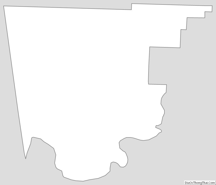
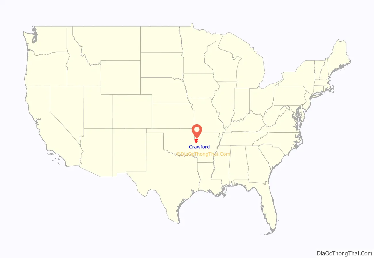
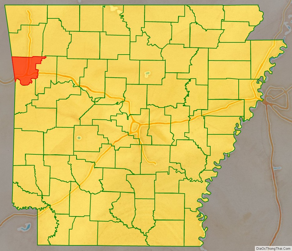
Crawford County location map. Where is Crawford County?
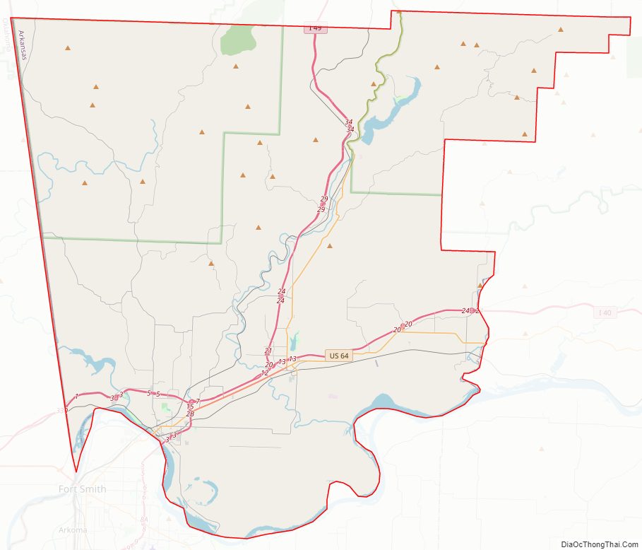
Crawford County Road Map
Geography
Crawford County is located in the northwest region of Arkansas. According to the U.S. Census Bureau, the county has a total area of 604 square miles (1,560 km), of which 593 square miles (1,540 km) is land and 11 square miles (28 km) (1.8%) is water.
Major highways
- Interstate 40
- Interstate 49
- US 64
- US 71
- Highway 59
- Highway 60
- Highway 162
- Highway 282
- Highway 348
Crawford County is included in an area designated for a planned extension of I-49 into Arkansas. The final project will connect New Orleans, Louisiana, to Kansas City, Missouri, a large trucking corridor which is currently not served by an Interstate highway. The proposed highway would utilize portions of I-49 which currently runs north from Van Buren toward the Missouri state line passing through Benton County, home of Walmart. The corridor was listed as the number-one high-priority corridor by transportation officials in the Intermodal Surface Transportation Efficiency Act.
Adjacent counties
- Washington County (north)
- Madison County (northeast)
- Franklin County (east)
- Sebastian County (south)
- Le Flore County, Oklahoma (southwest)
- Sequoyah County, Oklahoma (west)
- Adair County, Oklahoma (northwest)
National protected area
- Ozark National Forest (part)
Crawford County Topographic Map
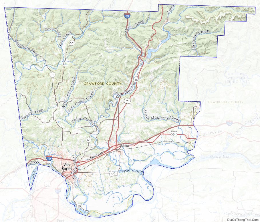
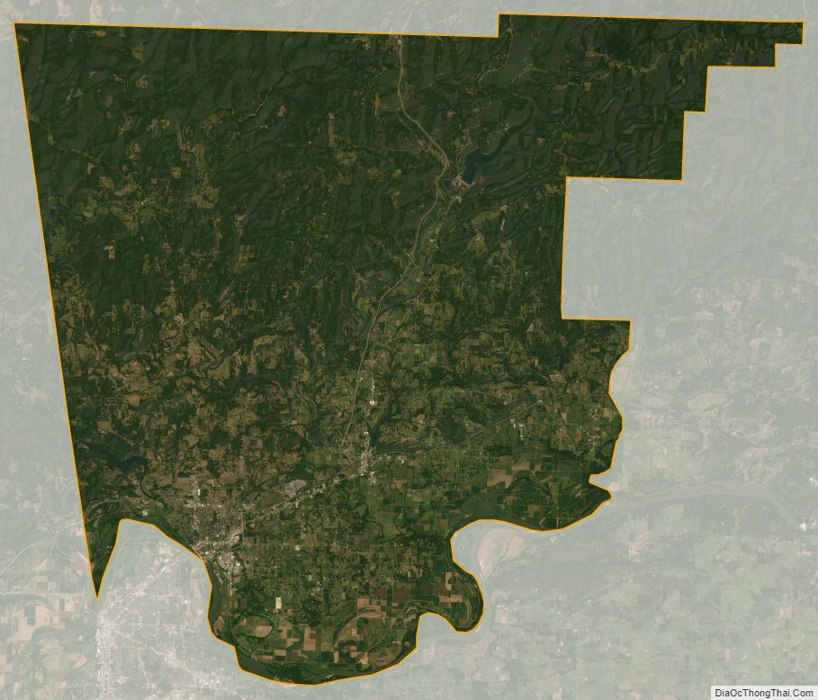
Crawford County Satellite Map
Crawford County Outline Map