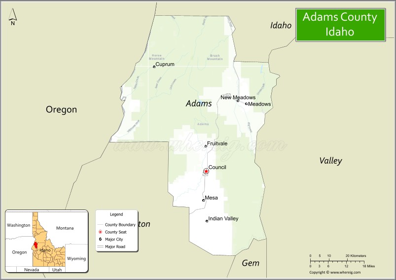
Adams County is a rural county in the state of Idaho. As of the 2020 census, the county had a population of 4,379, making it the fifth-least populous county in Idaho. The county seat and largest city is Council. Established in 1911, the county was named for second U.S. President John Adams.
Adams County is home to the Brundage Mountain ski area, northeast of New Meadows, and the Little Ski Hill, just west of McCall.
| Name: | Adams County |
|---|---|
| FIPS code: | 16-003 |
| State: | Idaho |
| Founded: | March 3, 1911 |
| Named for: | John Adams |
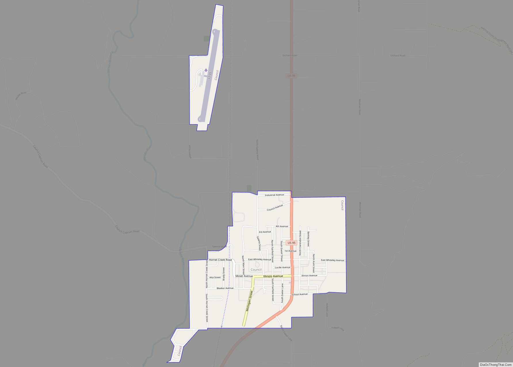
| Seat: | Council |
| Largest city: | Council |
| Total Area: | 1,370 sq mi (3,500 km²) |
| Land Area: | 1,363 sq mi (3,530 km²) |
| Total Population: | 4,379 |
| Population Density: | 3.2/sq mi (1.2/km²) |
| Time zone: | UTC−7 (Mountain) |
| Summer Time Zone (DST): | UTC−6 (MDT) |
| Website: | www.co.adams.id.us |
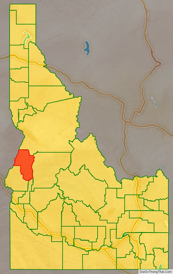
Adams County location map. Where is Adams County?

Adams County Road Map
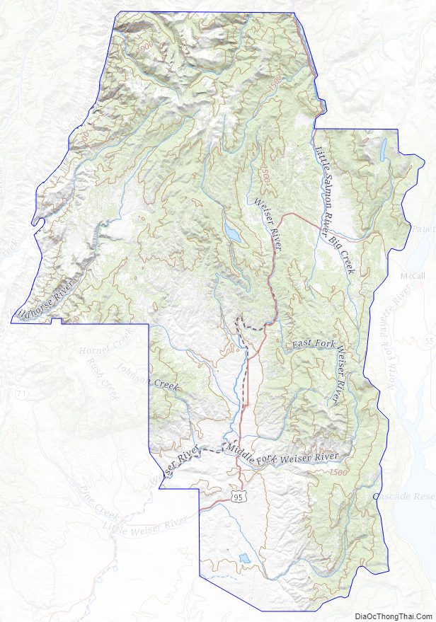
Geography
The west boundary line of Adams County abuts the east line of the state of Oregon, across the Snake River.
According to the U.S. Census Bureau, the county has a total area of 1,370 square miles (3,500 km), of which 1,363 square miles (3,530 km) is land and 6.7 square miles (17 km) (0.5%) is water.
Adjacent counties
- Idaho County – north
- Valley County – east
- Gem County – southeast
- Washington County – south
- Baker County, Oregon – southwest
- Wallowa County, Oregon – northwest
Highways
- – US 95
- – SH-55 – Payette River Scenic Byway
National protected areas
- Hells Canyon National Recreation Area (part)
- Payette National Forest (part)
Adams County Topographic Map
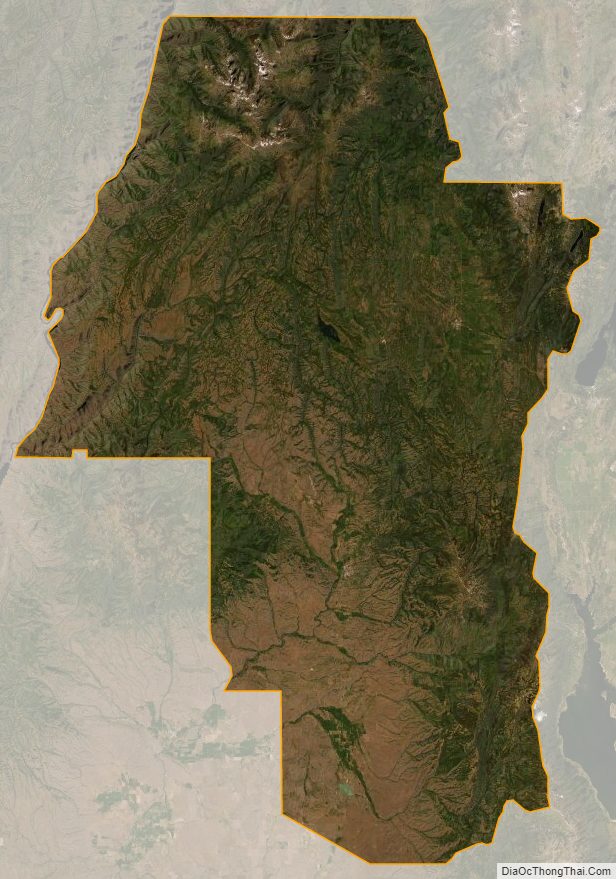
Adams County Satellite Map
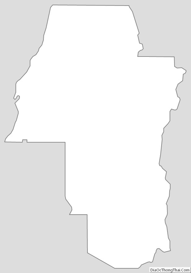
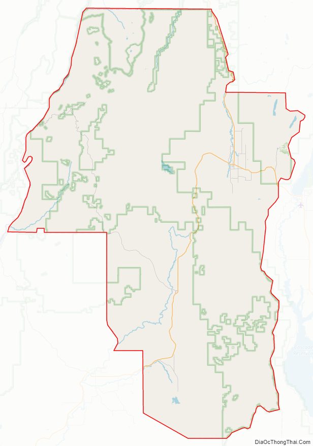
Adams County Outline Map