Adams County is a county located in the U.S. state of Nebraska. As of the 2020 United States Census, the population was 31,205. Its county seat is Hastings. The county was formed in 1867 and organized in 1871. It is named for John Adams, the second President of the United States.
Adams County comprises the Hastings, NE Micropolitan Statistical Area.
In the Nebraska license plate system, Adams County is represented by the prefix 14 (it had the 14th-largest number of vehicles registered in the state when the license plate system was established in 1922).
| Name: | Adams County |
|---|---|
| FIPS code: | 31-001 |
| State: | Nebraska |
| Founded: | 1867 |
| Named for: | John Adams |
| Seat: | Hastings |
| Largest city: | Hastings |
| Total Area: | 564 sq mi (1,460 km²) |
| Land Area: | 563 sq mi (1,460 km²) |
| Total Population: | 31,027 |
| Population Density: | 56/sq mi (22/km²) |
| Time zone: | UTC−6 (Central) |
| Summer Time Zone (DST): | UTC−5 (CDT) |
| Website: | www.adamscounty.org |
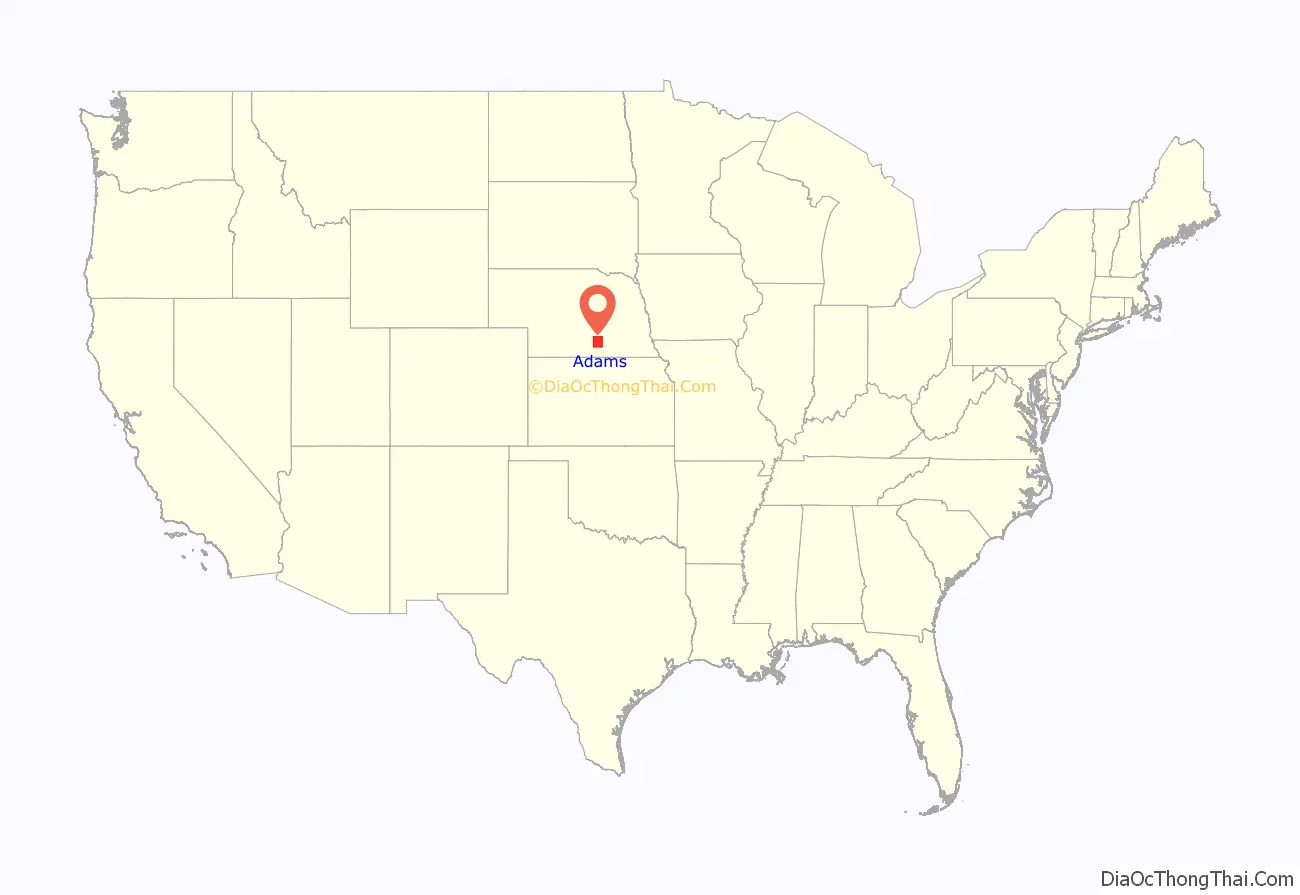
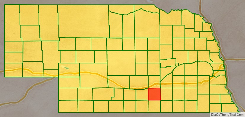
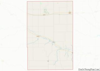
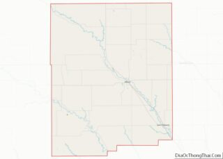
Adams County location map. Where is Adams County?
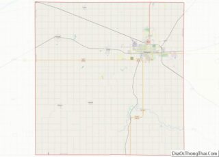
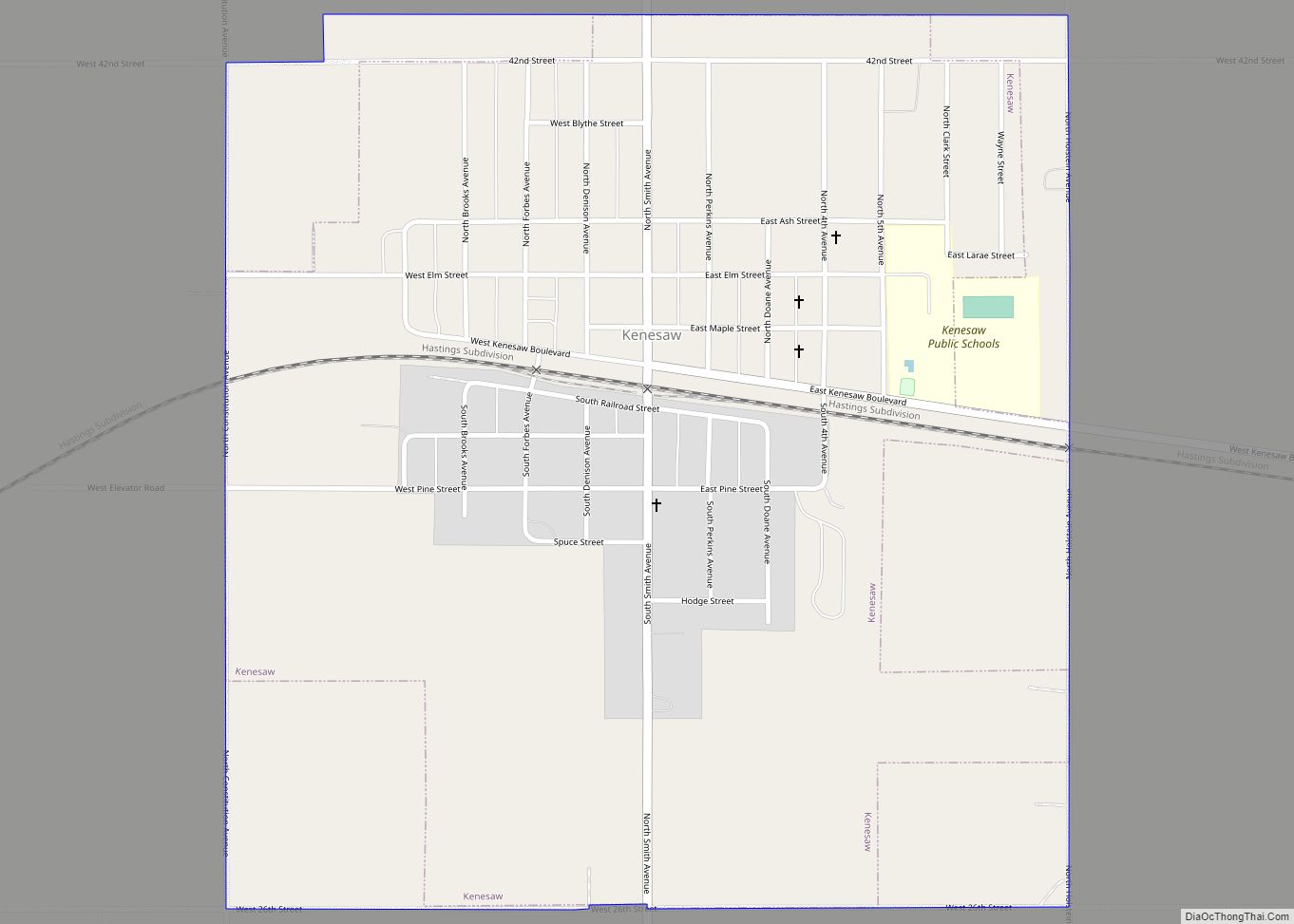
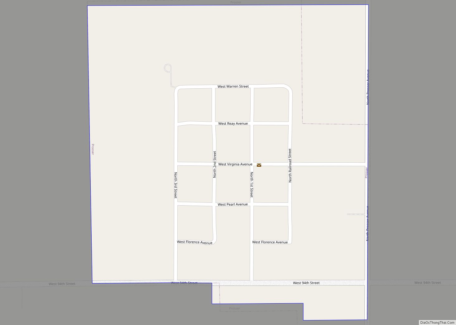
Adams County Road Map
Geography
According to the US Census Bureau, the county has an area of 564 square miles (1,460 km), of which 563 square miles (1,460 km) is land and 1.0 square mile (2.6 km) (0.2%) is water.
Major highways
- U.S. Highway 6
- U.S. Highway 34
- U.S. Highway 281
- Nebraska Highway 74
Adjacent counties
- Hamilton County – northeast
- Clay County – east
- Webster County – south
- Kearney County – west
- Buffalo County – northwest
- Hall County – north
