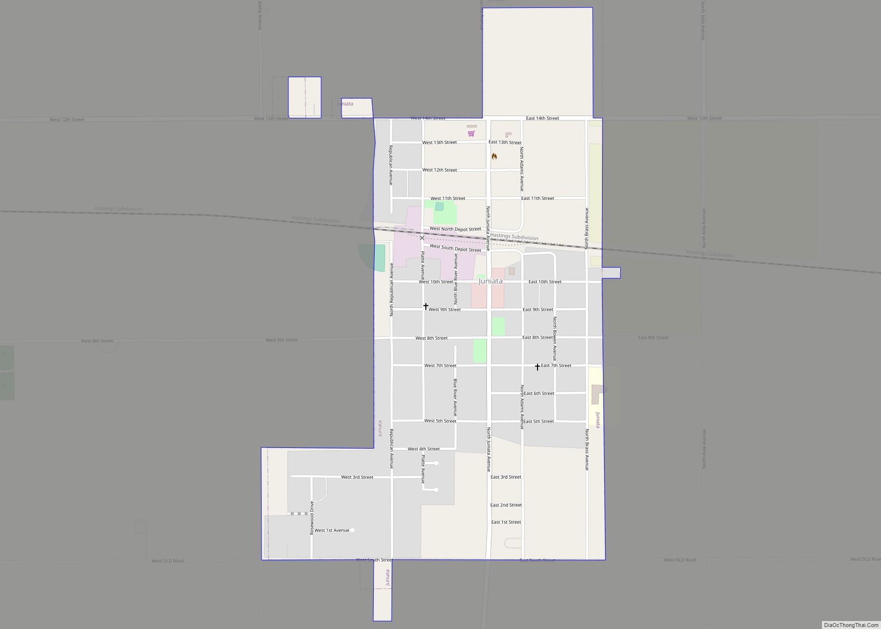
Juniata is a village in Adams County, Nebraska, United States. The population was 744 at the 2020 census. It is part of the Hastings, Nebraska Micropolitan Statistical Area.
| Name: | Juniata village |
|---|---|
| LSAD Code: | 47 |
| LSAD Description: | village (suffix) |
| State: | Nebraska |
| County: | Adams County |
| Elevation: | 1,962 ft (598 m) |
| Total Area: | 0.68 sq mi (1.75 km²) |
| Land Area: | 0.68 sq mi (1.75 km²) |
| Water Area: | 0.00 sq mi (0.00 km²) |
| Total Population: | 744 |
| Population Density: | 1,100/sq mi (430/km²) |
| ZIP code: | 68955 |
| Area code: | 402 |
| FIPS code: | 3124950 |
| GNISfeature ID: | 0830427 |
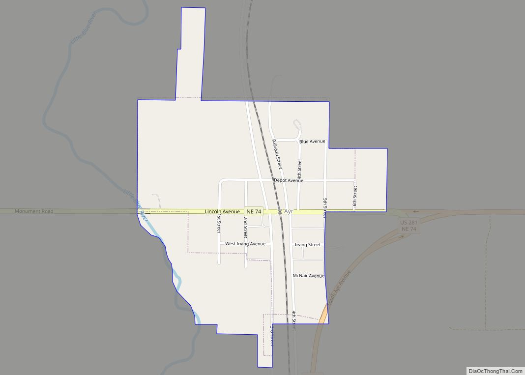
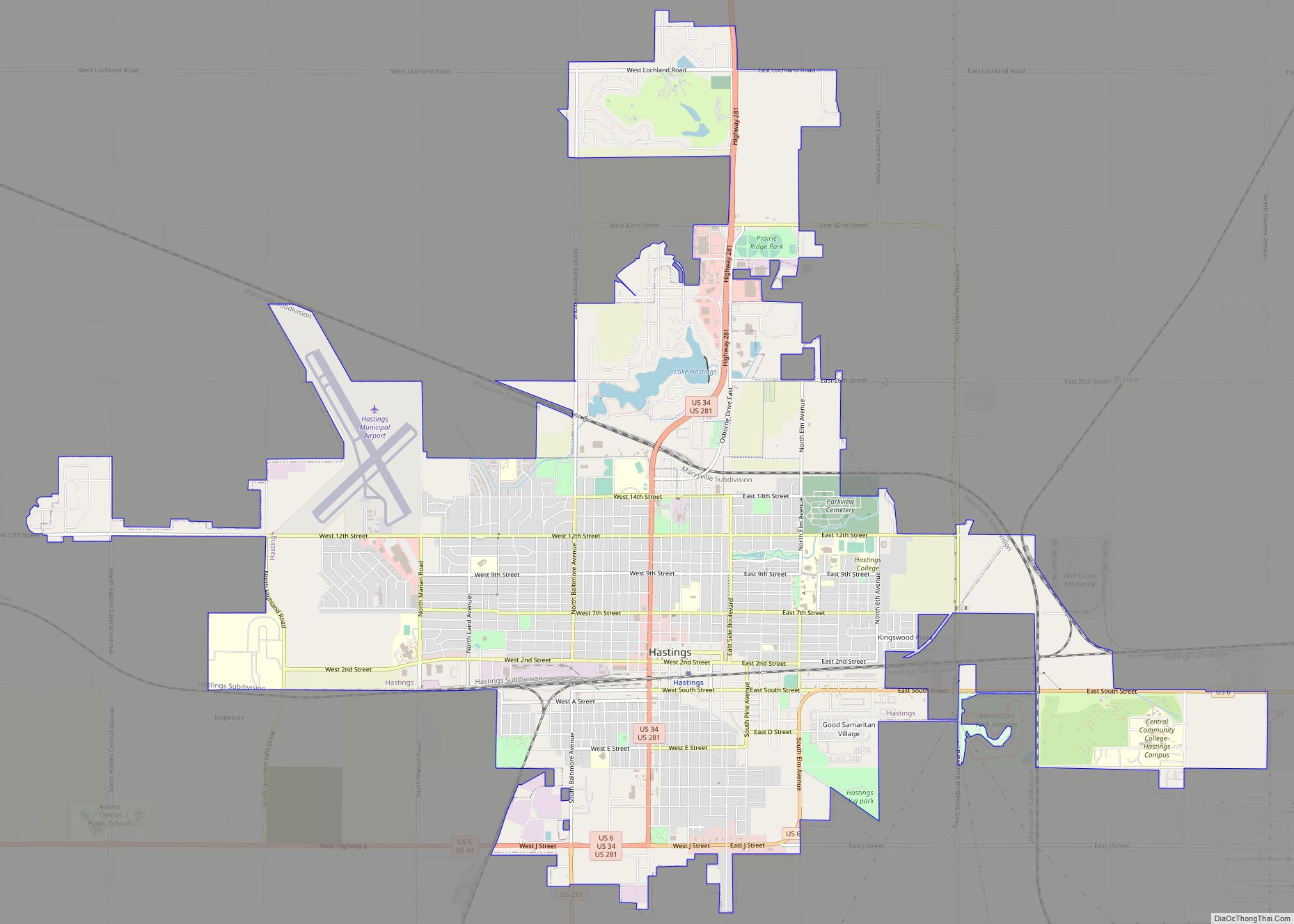
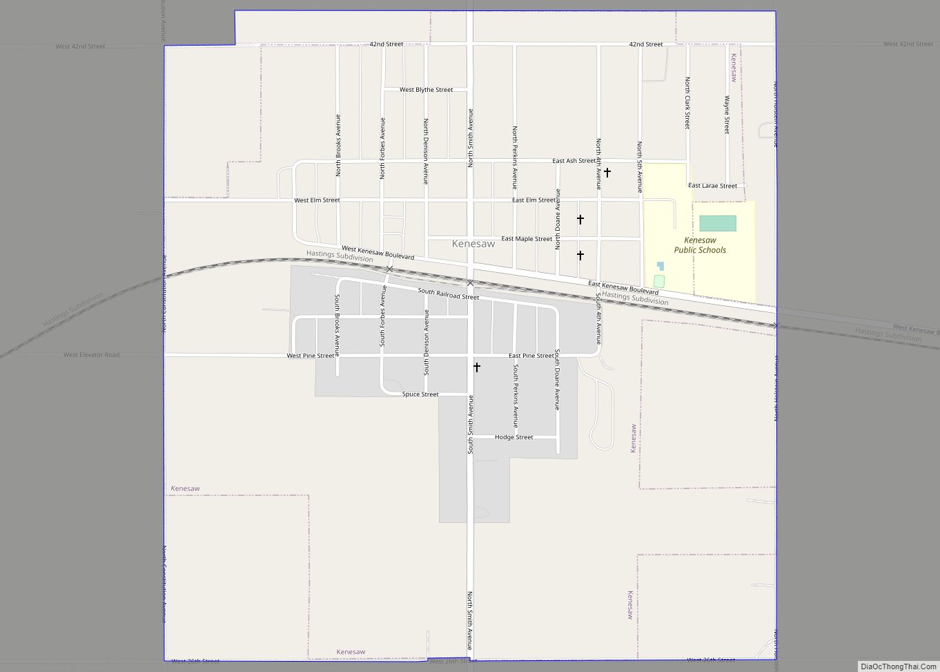
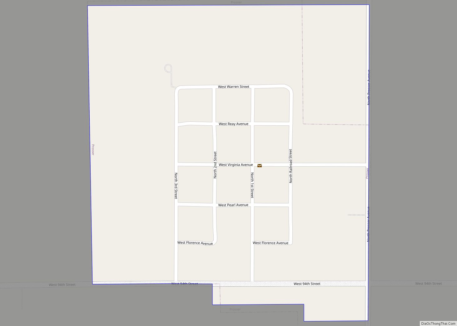
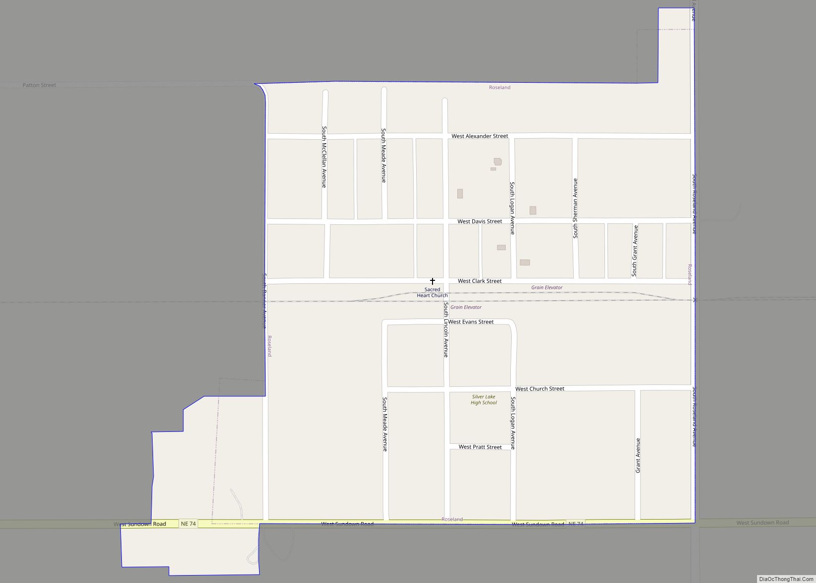
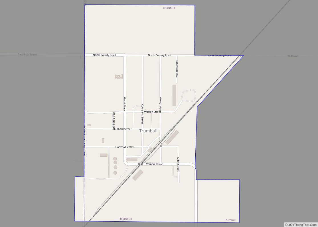
Online Interactive Map
Click on ![]() to view map in "full screen" mode.
to view map in "full screen" mode.
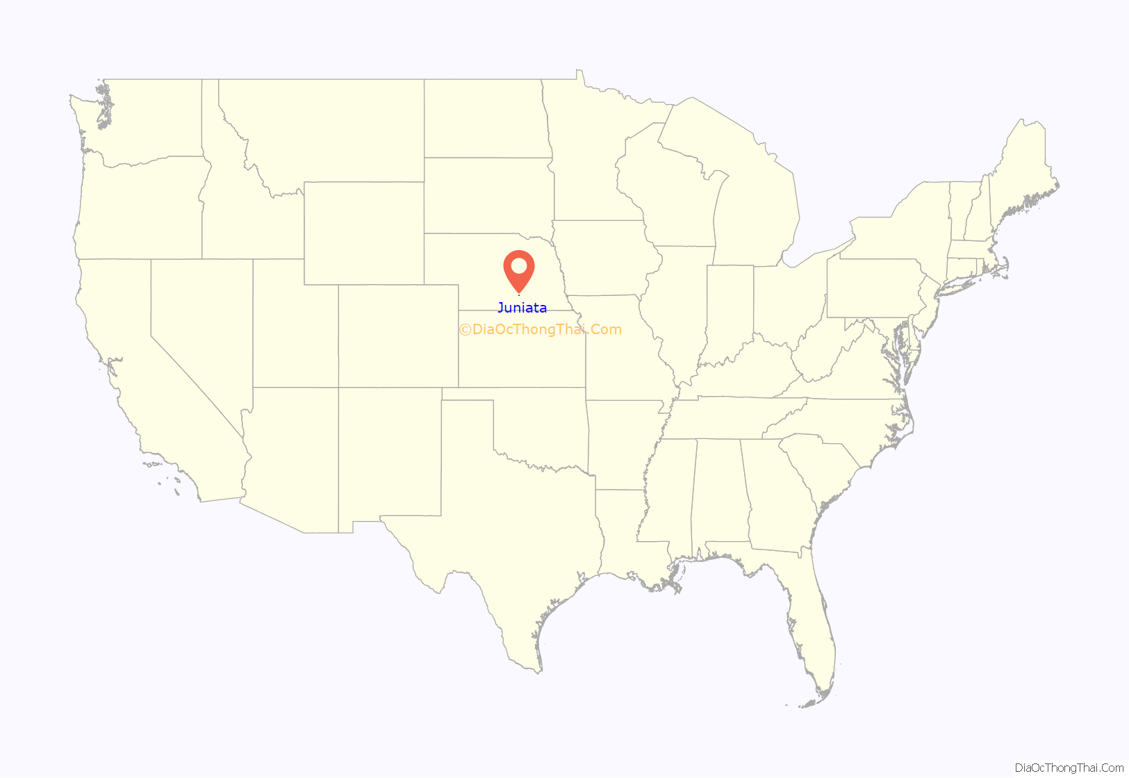
Juniata location map. Where is Juniata village?

History
Juniata was named by the Burlington Railroad for a river in Pennsylvania and is the oldest town in Adams County. It was platted, organized, and became the county seat in late 1871, the first school district in the county was established there, and the first newspaper in the county, the Adams County Gazette, was published there. During the 1870s the Commercial Hotel, south of the railroad depot, was one of the largest in Nebraska west of Lincoln. It was demolished in 1879. On April 12, 1872, the county commissioners declined a request from the St. Joseph and Denver City Railroad for $75,000 in bonds to build 25 miles of track, reasoning that the line would be built anyway and would logically cross the Burlington line at Juniata. Instead the railroad laid its tracks seven miles east and set up the new town of Hastings, which in September 1878 won a five-year Great County Seat War and became the county seat. Juniata continued to grow and now has more residents than in the 1880s. However, it has suffered a number of disastrous fires, the last in 1961, and in 1960 a tornado destroyed the 2-story town pump with bandstand that had been built in 1904 at the intersection of Juniata Avenue and Tenth Street. Because of its proximity to Hastings, Juniata is today a commuter suburb.
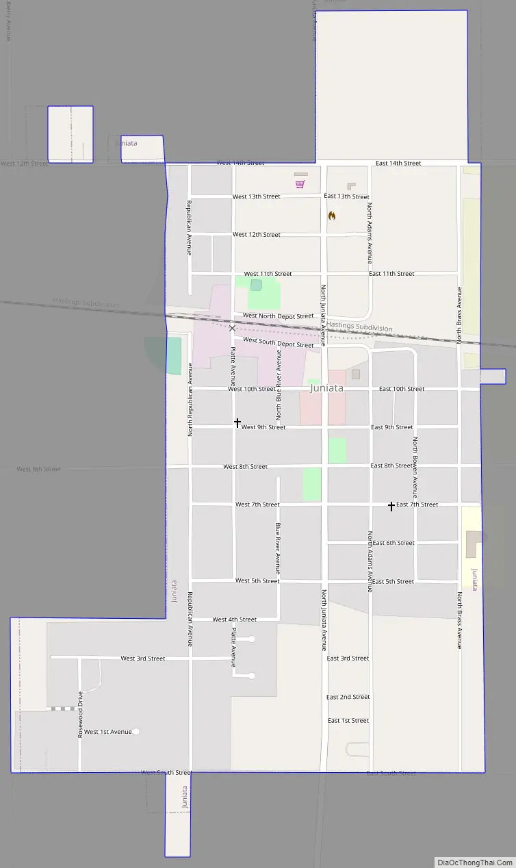
Juniata Road Map
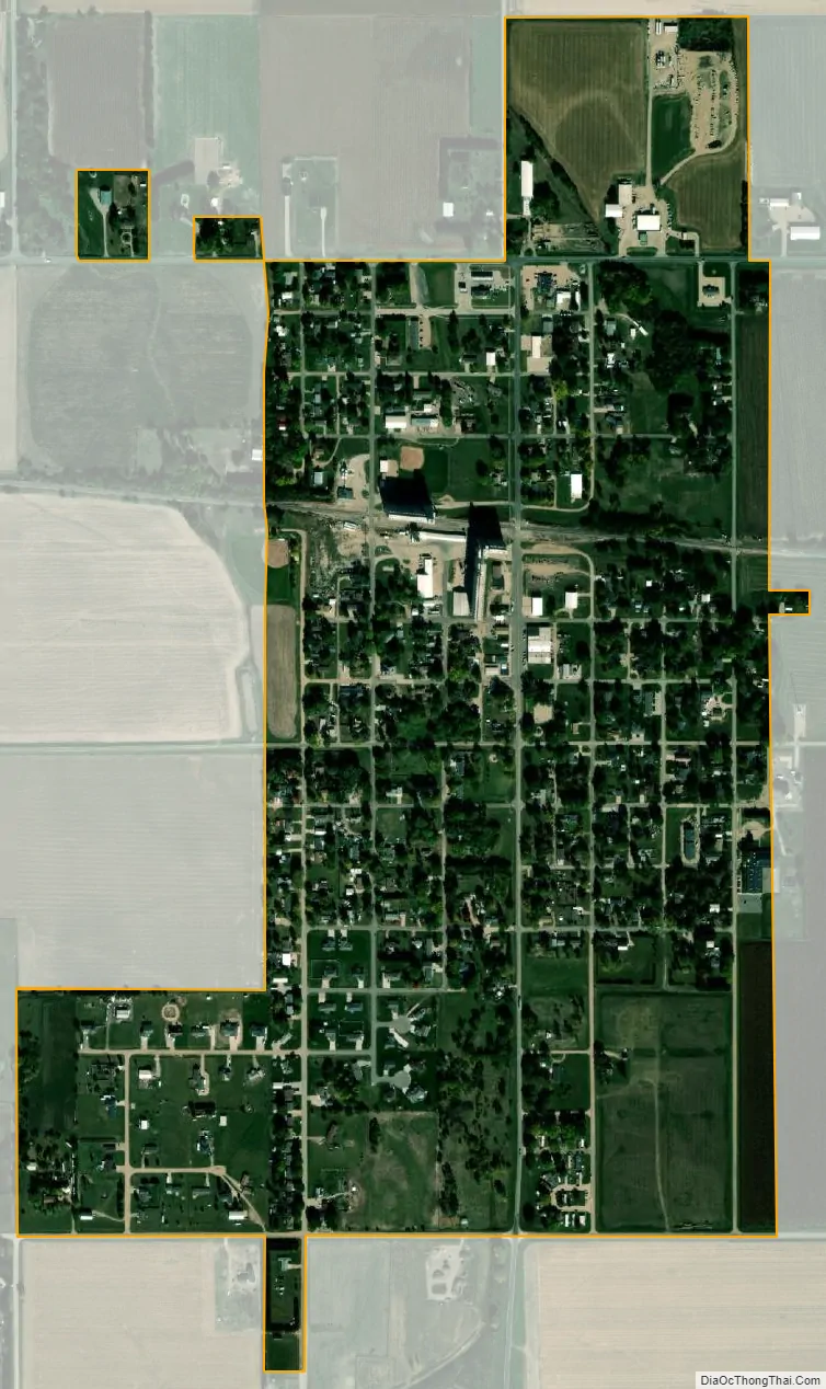
Juniata city Satellite Map
Geography
Juniata is located at 40°35′29″N 98°30′26″W / 40.59139°N 98.50722°W / 40.59139; -98.50722 (40.591315, -98.507132).
According to the United States Census Bureau, the village has a total area of 0.68 square miles (1.76 km), all land.
See also
Map of Nebraska State and its subdivision:- Adams
- Antelope
- Arthur
- Banner
- Blaine
- Boone
- Box Butte
- Boyd
- Brown
- Buffalo
- Burt
- Butler
- Cass
- Cedar
- Chase
- Cherry
- Cheyenne
- Clay
- Colfax
- Cuming
- Custer
- Dakota
- Dawes
- Dawson
- Deuel
- Dixon
- Dodge
- Douglas
- Dundy
- Fillmore
- Franklin
- Frontier
- Furnas
- Gage
- Garden
- Garfield
- Gosper
- Grant
- Greeley
- Hall
- Hamilton
- Harlan
- Hayes
- Hitchcock
- Holt
- Hooker
- Howard
- Jefferson
- Johnson
- Kearney
- Keith
- Keya Paha
- Kimball
- Knox
- Lancaster
- Lincoln
- Logan
- Loup
- Madison
- McPherson
- Merrick
- Morrill
- Nance
- Nemaha
- Nuckolls
- Otoe
- Pawnee
- Perkins
- Phelps
- Pierce
- Platte
- Polk
- Red Willow
- Richardson
- Rock
- Saline
- Sarpy
- Saunders
- Scotts Bluff
- Seward
- Sheridan
- Sherman
- Sioux
- Stanton
- Thayer
- Thomas
- Thurston
- Valley
- Washington
- Wayne
- Webster
- Wheeler
- York
- Alabama
- Alaska
- Arizona
- Arkansas
- California
- Colorado
- Connecticut
- Delaware
- District of Columbia
- Florida
- Georgia
- Hawaii
- Idaho
- Illinois
- Indiana
- Iowa
- Kansas
- Kentucky
- Louisiana
- Maine
- Maryland
- Massachusetts
- Michigan
- Minnesota
- Mississippi
- Missouri
- Montana
- Nebraska
- Nevada
- New Hampshire
- New Jersey
- New Mexico
- New York
- North Carolina
- North Dakota
- Ohio
- Oklahoma
- Oregon
- Pennsylvania
- Rhode Island
- South Carolina
- South Dakota
- Tennessee
- Texas
- Utah
- Vermont
- Virginia
- Washington
- West Virginia
- Wisconsin
- Wyoming