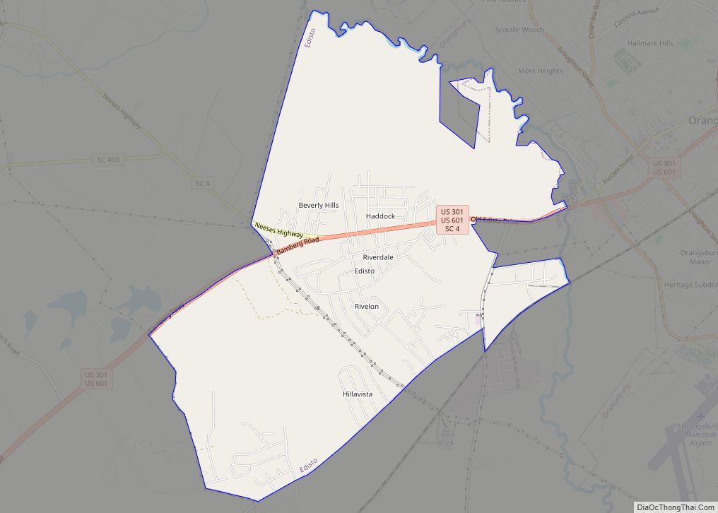
Orangeburg County is a county located in the U.S. state of South Carolina. As of the 2020 census, the population was 84,223. Its county seat is Orangeburg. The county was created in 1769.
Orangeburg County comprises the Orangeburg, SC Micropolitan Statistical Area, which is also included in the Columbia-Orangeburg-Newberry, SC Combined Statistical Area. It is located in the Midlands region of South Carolina.
It is the home of South Carolina State University, the only public four-year HBCU in the state of South Carolina. It is also home to Claflin University, the oldest historically black college or university (HBCU) in the state.
| Name: | Orangeburg County |
|---|---|
| FIPS code: | 45-075 |
| State: | South Carolina |
| Founded: | March 12, 1785 |
| Named for: | William of Orange |
| Seat: | Orangeburg |
| Largest city: | Orangeburg |
| Total Area: | 1,128 sq mi (2,920 km²) |
| Land Area: | 1,106 sq mi (2,860 km²) |
| Total Population: | 82,962 |
| Population Density: | 75/sq mi (29/km²) |
| Time zone: | UTC−5 (Eastern) |
| Summer Time Zone (DST): | UTC−4 (EDT) |
| Website: | www.orangeburgcounty.org |
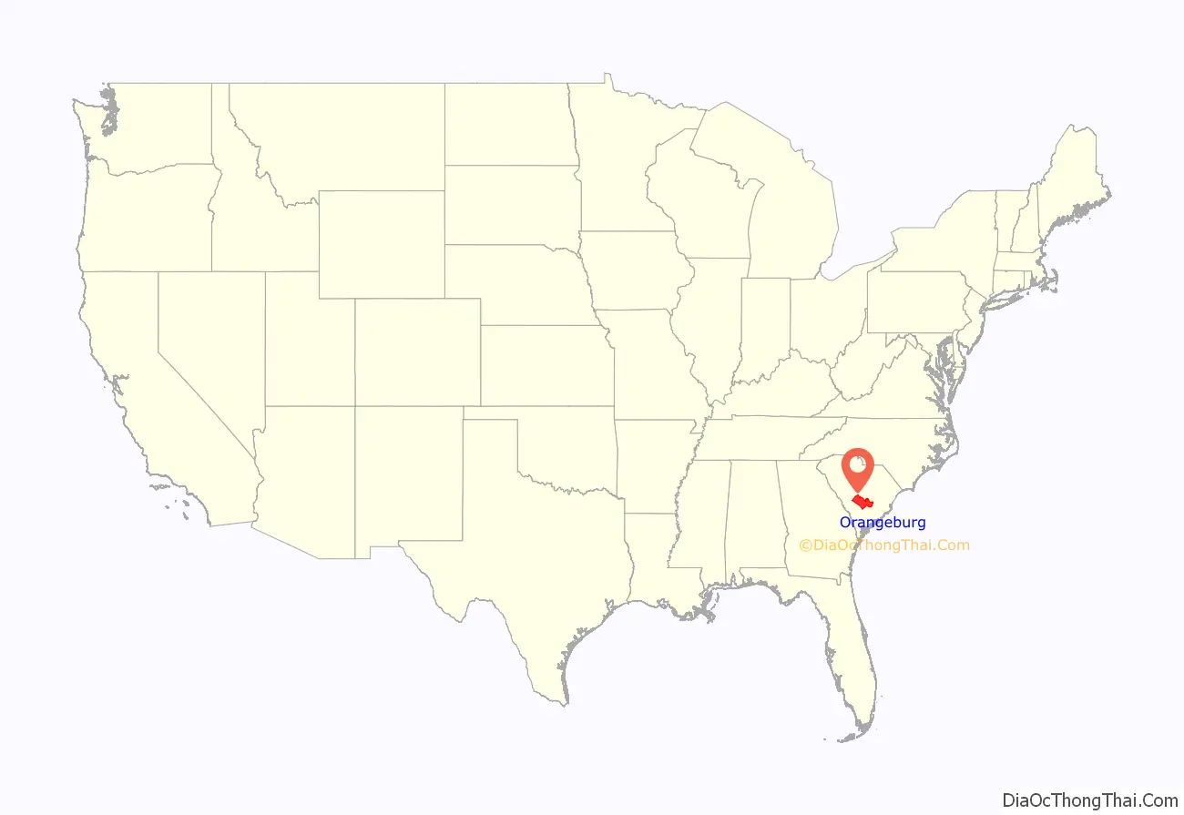
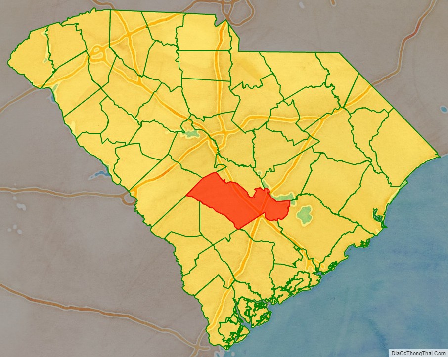
Orangeburg County location map. Where is Orangeburg County?
History
The district was occupied for thousands of years by succeeding cultures of indigenous peoples. By the time of European encounter, Siouan-speaking tribes, such as the Cheraw and Catawba, as well as the Pee Dee, inhabited the Piedmont area above the fall line.
The Orangeburg Judicial District was chartered by European Americans in 1769 from a mostly unorganized upland area between the Congaree and Savannah rivers. A county, initially of the same name but later called Orange, was organized within the district but deorganized in 1791, after the American Revolutionary War.
The southwest portion bordering on the Savannah River, about half of Orangeburg District, was separated and organized as Barnwell District in 1800. In 1804 the northern third of the district was separated to form the new Lexington District, which gained another, smaller portion of Orangeburg District in 1832.
During the nineteenth century, the districts and counties were developed chiefly as cotton plantations for short-staple cotton. This development followed the invention of the cotton gin in the late eighteenth century, which made the processing of short-staple cotton profitable. The county became a center of labor by black slaves on the plantations, who were transported from coastal areas and the Upper South to cultivate and process cotton. Those brought from the coastal areas were likely of the Gullah culture and language. The enslaved African Americans greatly outnumbered the white planters and non-slaveholding whites. Reflecting the patterns of nineteenth-century settlement, the area is still chiefly agricultural and majority-African American in population.
In 1868, under the revised state constitution during the Reconstruction era, South Carolina districts were organized as counties. Resident voters were enabled to elect their state representatives rather than having them chosen by the state legislature, as was done previously. Election of representatives by the state legislature had kept the districts dominated by the elite owners of major plantations in the Low Country and elsewhere. The changes in rules expanded participation in the franchise by more male residents. Emancipation of slaves after the war under newly ratified federal constitutional amendments resulted in freedmen voting. Using voter intimidation, white Democrats took control of the state legislature by the end of the century; they passed state electoral laws and a new constitution that essentially disfranchised most blacks, a situation that lasted until after the federal legislation of the 1965 Voting Rights Act.
A small western portion of Orangeburg County was annexed in 1871 to the newly formed Aiken County during the Reconstruction era.
In 1908 the northern portion of the County along the Congaree River was separated and included in the newly formed Calhoun County, with its seat at Saint Matthews. In 1910 a small western portion of Berkeley County, around Holly Hill and Eutawville, was annexed to Orangeburg County, thus bringing the county to its present size.
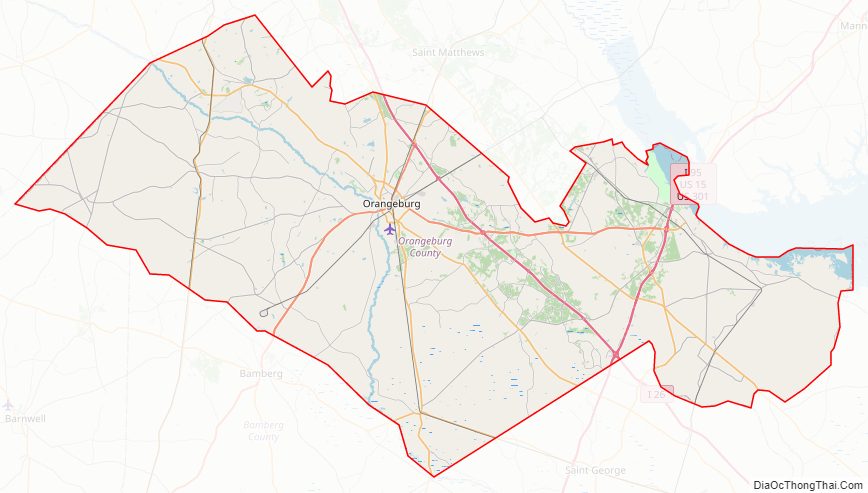
Orangeburg County Road Map
Geography
According to the U.S. Census Bureau, the county has a total area of 1,128 square miles (2,920 km), of which 1,106 square miles (2,860 km) is land and 22 square miles (57 km) (1.9%) is water. It is the second-largest county in South Carolina by land area and fifth-largest by land area.
Orangeburg county is a fairly big county, covering 1,128 square miles, it is about 60 miles from the western part of the county to the eastern part of the county. Orangeburg county lies within 3 “regions” of South Carolina. The western part of the county lies in the “CSRA” (Central Savannah River Area). The middle part of Orangeburg county is included in the “Midlands” Region. The eastern and south eastern part of the county are located in the “Lowcountry” region of the state.
State and local protected area
- Indian Bluff Recreation Park
- Santee State Park
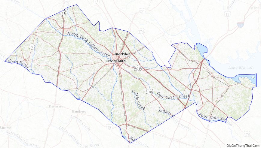
Major water bodies
- Congaree River
- Cooper River
- Edisto River
- Four Hole Swamp
- Lake Marion
- North Fork Edisto River
- South Fork Edisto River
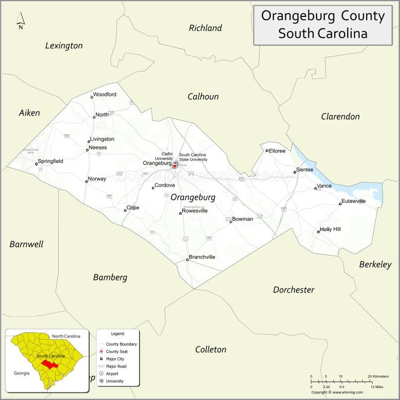
Adjacent counties
- Calhoun County – north
- Clarendon County – northeast
- Dorchester County – southeast
- Berkeley County – southeast
- Bamberg County – south
- Colleton County – south
- Aiken County – west
- Barnwell County – west
- Lexington County – northwest
Orangeburg County Topographic Map
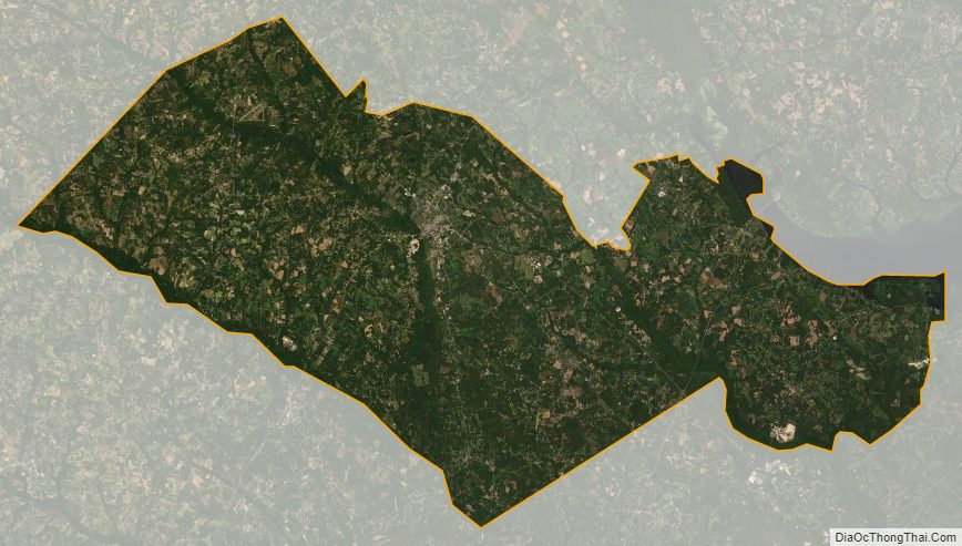
Orangeburg County Satellite Map
Orangeburg County Outline Map