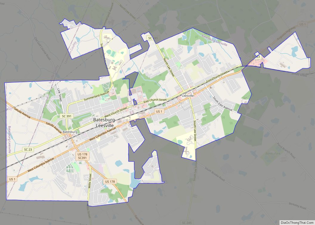
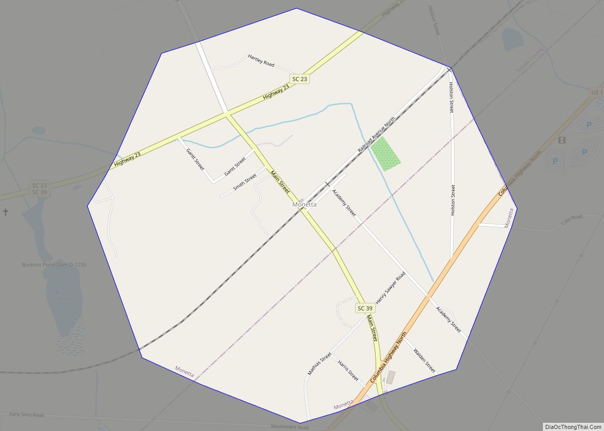
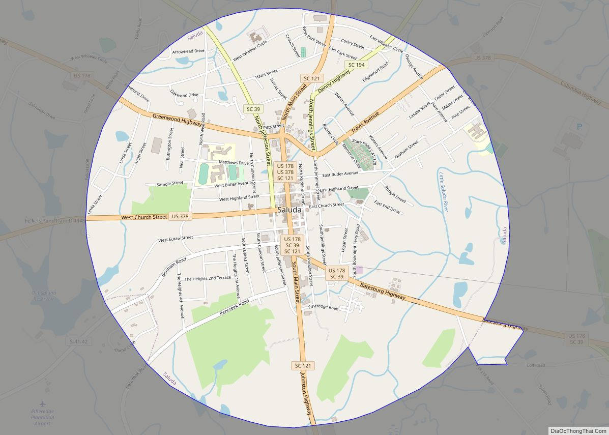
Saluda County is a county in the U.S. state of South Carolina. As of the 2020 census, the population was 18,862. Its county seat is Saluda. The county was formed from northern and eastern portions of Edgefield County.
Saluda County is part of the Columbia, SC Metropolitan Area.
| Name: | Saluda County |
|---|---|
| FIPS code: | 45-081 |
| State: | South Carolina |
| Founded: | 1895 |
| Named for: | Saluda River |
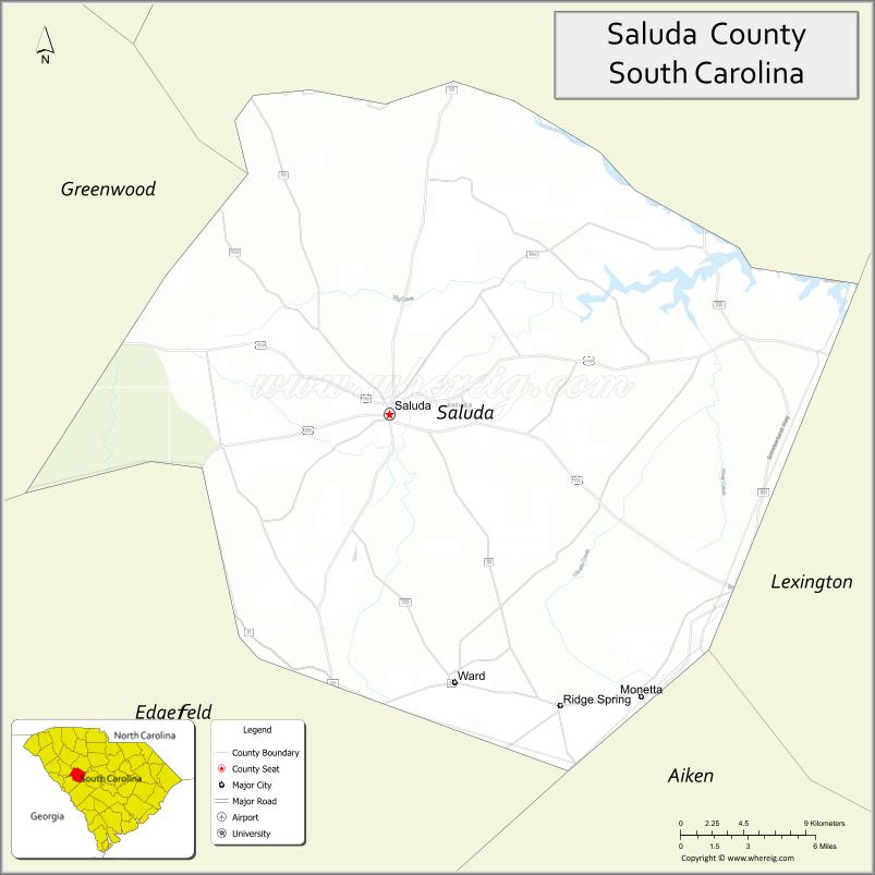
| Seat: | Saluda |
| Largest town: | Saluda |
| Total Area: | 462 sq mi (1,200 km²) |
| Land Area: | 453 sq mi (1,170 km²) |
| Total Population: | 18,862 |
| Population Density: | 41/sq mi (16/km²) |
| Time zone: | UTC−5 (Eastern) |
| Summer Time Zone (DST): | UTC−4 (EDT) |
| Website: | saludacounty.sc.gov |
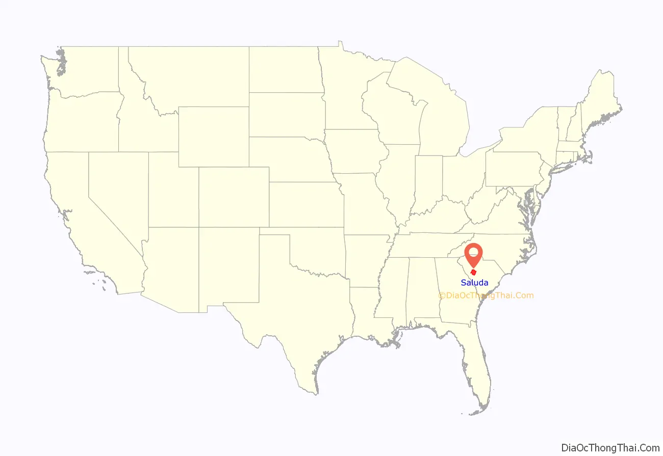
Saluda County location map. Where is Saluda County?
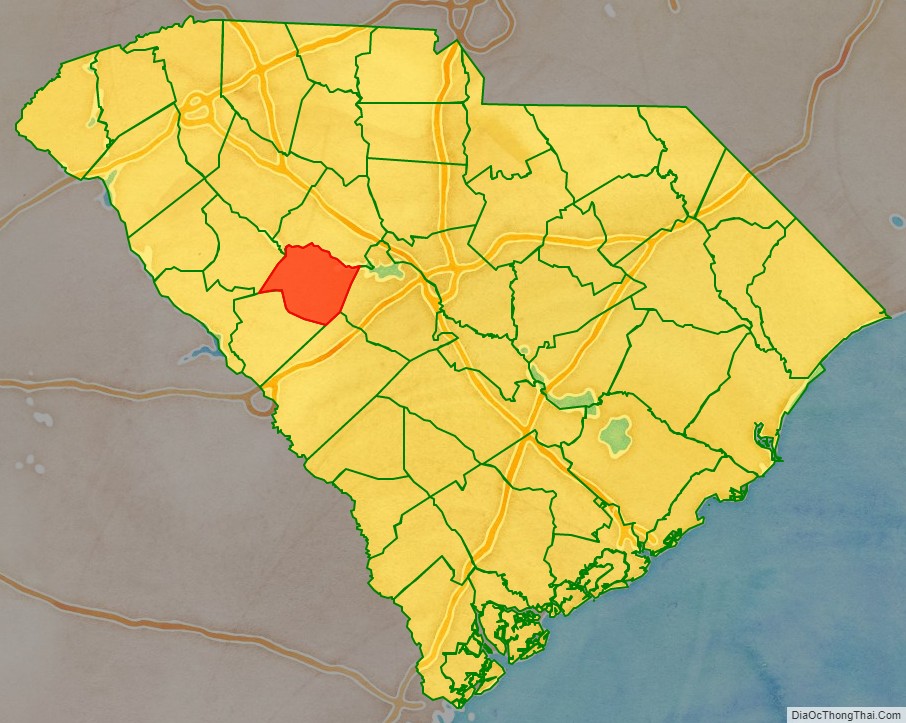
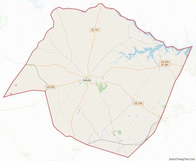
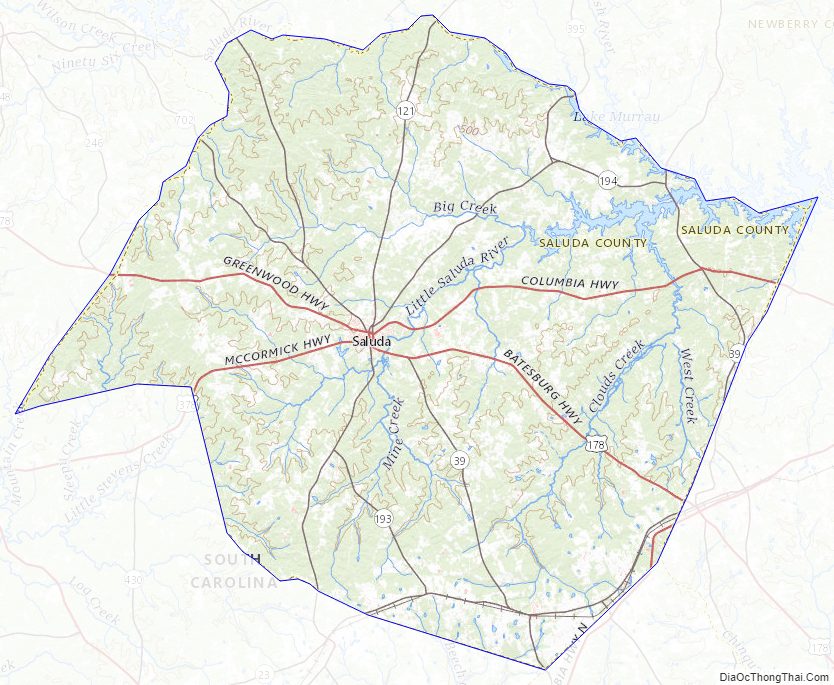
Saluda County Road Map
Geography
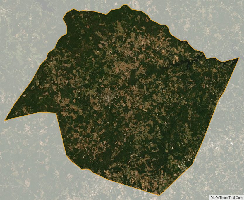
According to the U.S. Census Bureau, the county has a total area of 462 square miles (1,200 km), of which 453 square miles (1,170 km) is land and 9.0 square miles (23 km) (2.0%) is water. Saluda County is largely in the Saluda River basin with a small portion of western Saluda in the Savannah River basin.
National protected area
- Sumter National Forest (part)
Major water bodies
- Halfway Swamp Creek
- Lake Murray
- Saluda River
Adjacent Counties
- Newberry County – north
- Lexington County – east
- Aiken County – south
- Edgefield County – southwest
- Greenwood County – northwest
- McCormick County – west
Major highways
- US 1
- US 178
- US 178 Conn.
- US 378
- SC 23
- SC 39
- SC 121
- SC 193
- SC 194
- SC 391
- SC 395
- SC 702
Major infrastructure
- Saluda County Airport
Saluda County Topographic Map
Saluda County Satellite Map
Saluda County Outline Map