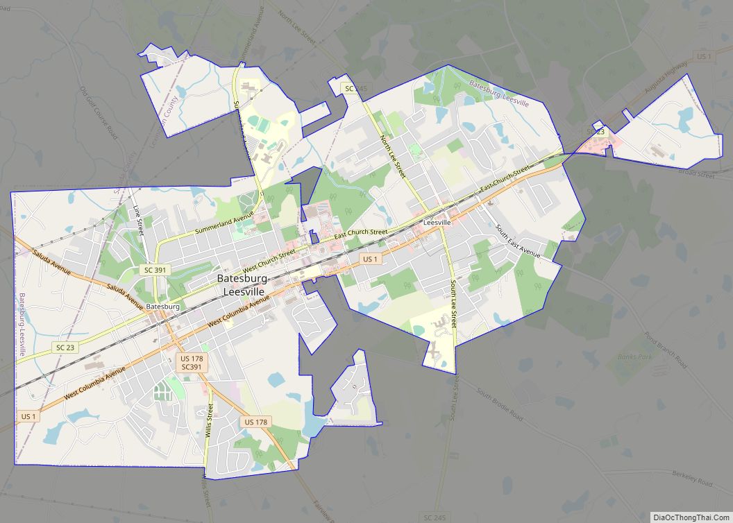
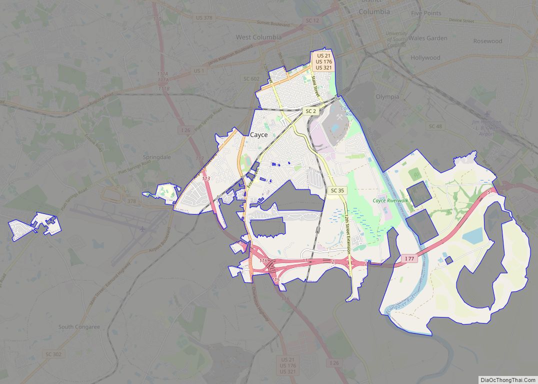
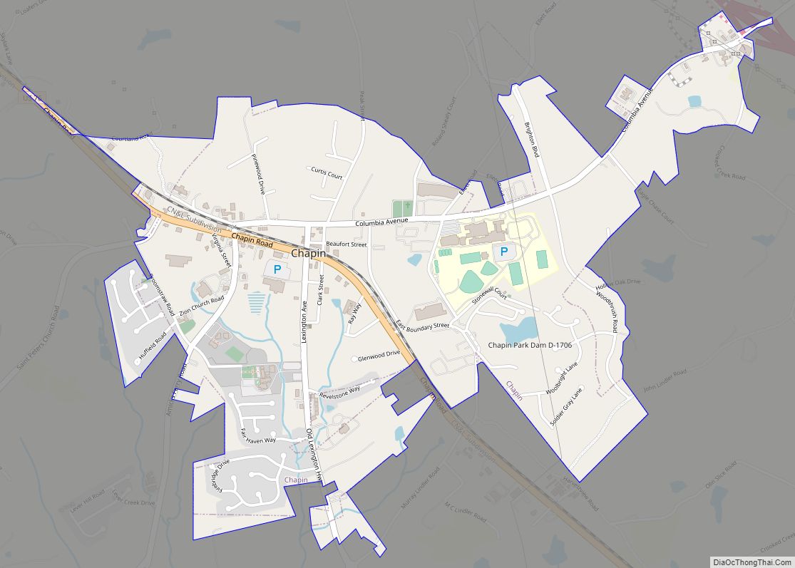
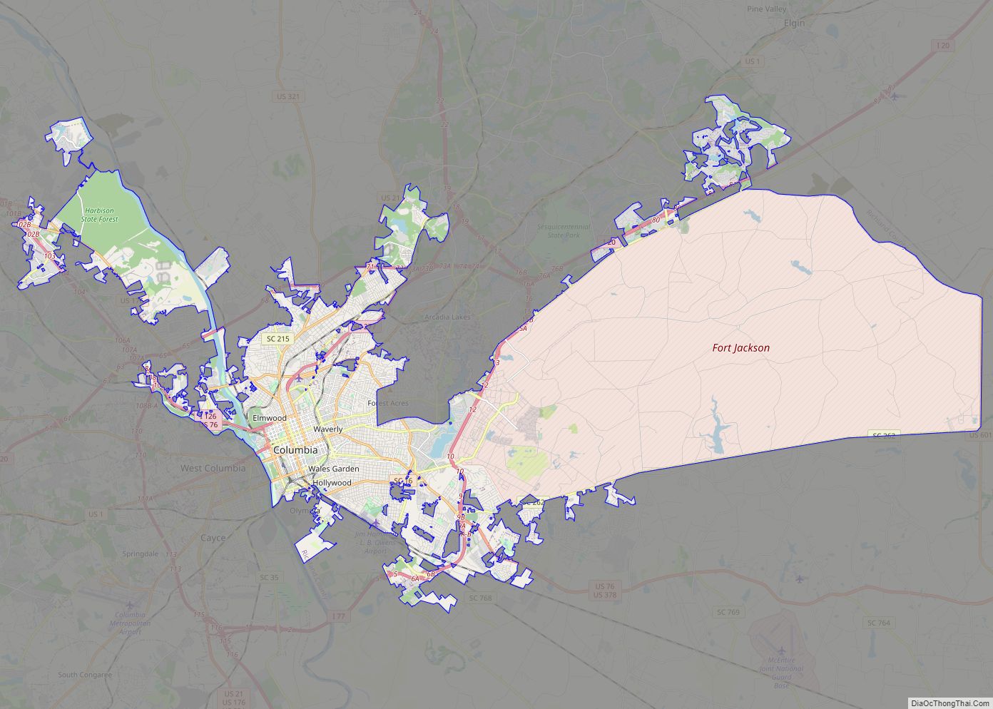
Lexington County is a county located in the U.S. state of South Carolina. As of the 2020 census, the population was 293,991, and the 2021 population estimate was 300,137. Its county seat and largest town is Lexington. The county was chartered in 1785 and was named in commemoration of Lexington, Massachusetts, the site of the Battle of Lexington in the American Revolutionary War. Lexington County is the sixth-largest county in South Carolina by population and is part of the Columbia, SC Metropolitan Statistical Area. It is located in the Midlands region of South Carolina.
| Name: | Lexington County |
|---|---|
| FIPS code: | 45-063 |
| State: | South Carolina |
| Founded: | 1804 |
| Named for: | Battle of Lexington and Concord |
| Seat: | Lexington |
| Largest town: | Lexington |
| Total Area: | 758 sq mi (1,960 km²) |
| Land Area: | 699 sq mi (1,810 km²) |
| Total Population: | 300,137 |
| Population Density: | 429.4/sq mi (165.8/km²) |
| Time zone: | UTC−5 (Eastern) |
| Summer Time Zone (DST): | UTC−4 (EDT) |
| Website: | www.lex-co.sc.gov |
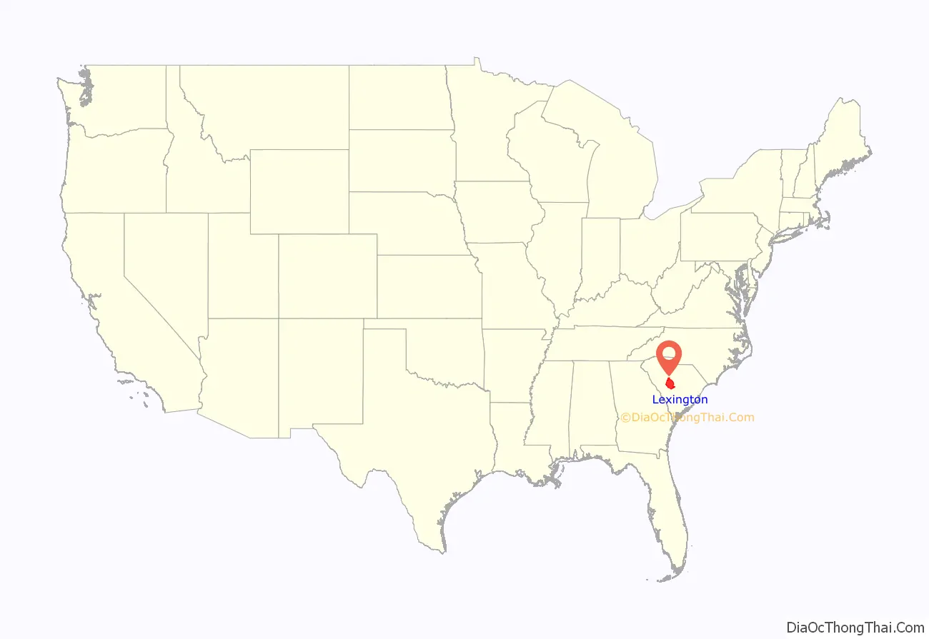
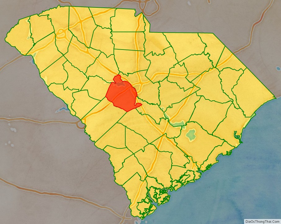
Lexington County location map. Where is Lexington County?
History
Lexington County was charted in 1785 and was named after the Battles of Lexington and Concord. The largest town and county seat is Lexington but the county is also part of the Columbia metropolitan area.
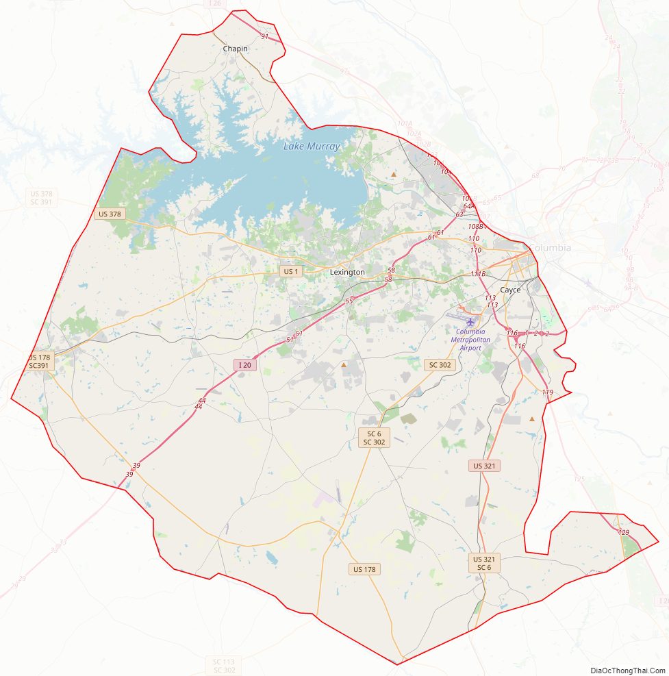
Lexington County Road Map

Geography
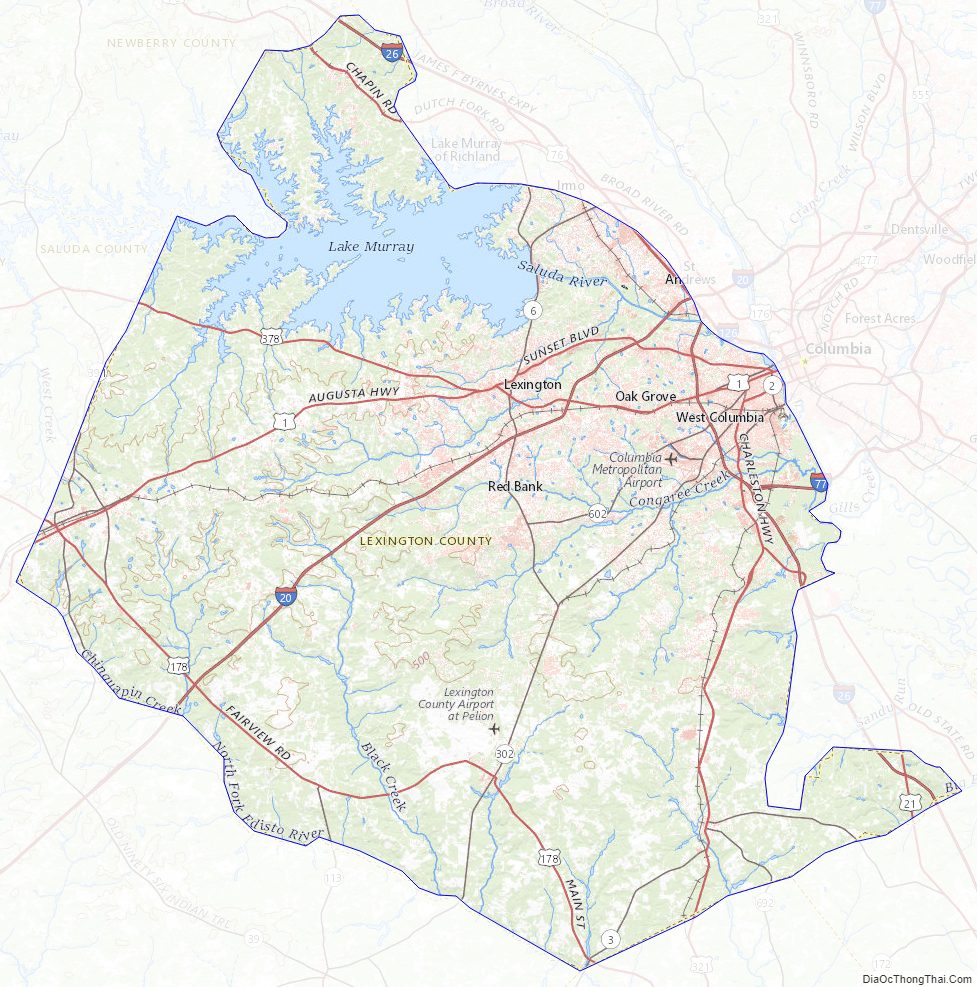
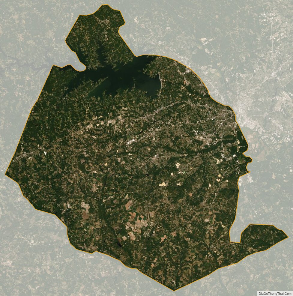
According to the U.S. Census Bureau, the county has a total area of 758 square miles (1,960 km), of which 699 square miles (1,810 km) is land and 59 square miles (150 km) (7.8%) is water. The largest body of water is Lake Murray, while other waterways include the Broad River, the Saluda River and the Congaree River. Lexington County has urban, suburban, and rural landscapes. Much of the county’s urbanization is in its eastern and northeastern areas.
Climate
Lexington County averages 48 inches of rain per year; the U.S. average is 37. The average snowfall is 2 inches; the U.S. average is 25 inches. The average number of days with any measurable precipitation is 104.
On average, there are 218 sunny days per year in Lexington County. The July high is around 92 degrees and the January low is 33. The comfort index, which is based on humidity during the warmest months, is a 29 out of 100, where higher is more comfortable. The U.S. average on the comfort index is 44.
State and local protected area
- Lake Murray Dam North Recreational Area
Major water bodies
- Congaree River
- Lake Murray
- North Fork Edisto River
- Red Bank Creek
- Saluda River
Adjacent counties
- Richland County – east
- Orangeburg County – southeast
- Calhoun County – southeast
- Aiken County – southwest
- Saluda County – west
- Newberry County – northwest
Lexington County Topographic Map
Lexington County Satellite Map
Lexington County Outline Map