Aiken is the largest city in, and the county seat of, Aiken County, in western South Carolina. It is one of the two largest cities of the Central Savannah River Area. Founded in 1835, Aiken was named after William Aiken, the president of the South Carolina Railroad. It became part of Aiken County when the county was formed in 1871 from parts of Orangeburg, Lexington, Edgefield, and Barnwell counties.
Aiken is home to the University of South Carolina Aiken. According to 2020 census, the population was 32,025. The National Civic League gave Aiken the All-America City Award in 1997. Aiken was also named “best small town of the South” by Southern Living.
| Name: | Aiken city |
|---|---|
| LSAD Code: | 25 |
| LSAD Description: | city (suffix) |
| State: | South Carolina |
| County: | Aiken County |
| Incorporated: | 1835 |
| Elevation: | 515 ft (157 m) |
| Total Area: | 21.58 sq mi (55.90 km²) |
| Land Area: | 21.45 sq mi (55.56 km²) |
| Water Area: | 0.13 sq mi (0.34 km²) |
| Total Population: | 32,025 |
| Population Density: | 1,492.94/sq mi (576.42/km²) |
| FIPS code: | 4500550 |
| GNISfeature ID: | 1244853 |
| Website: | www.cityofaikensc.gov |
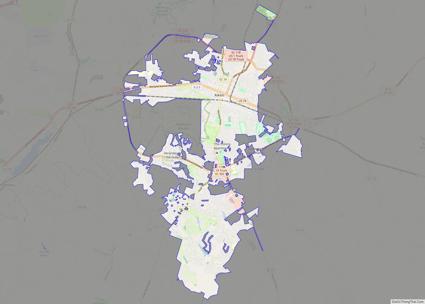
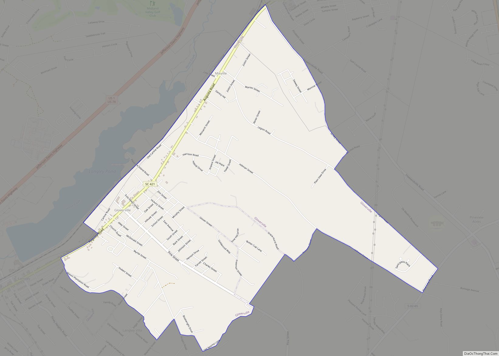
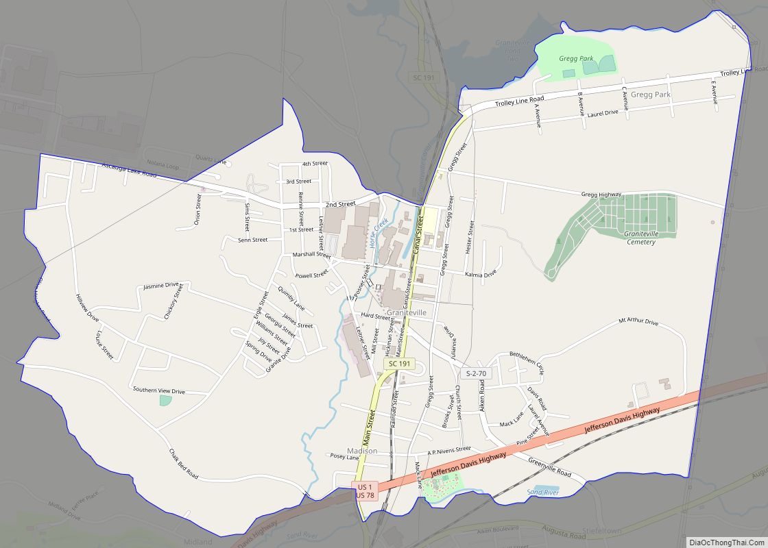
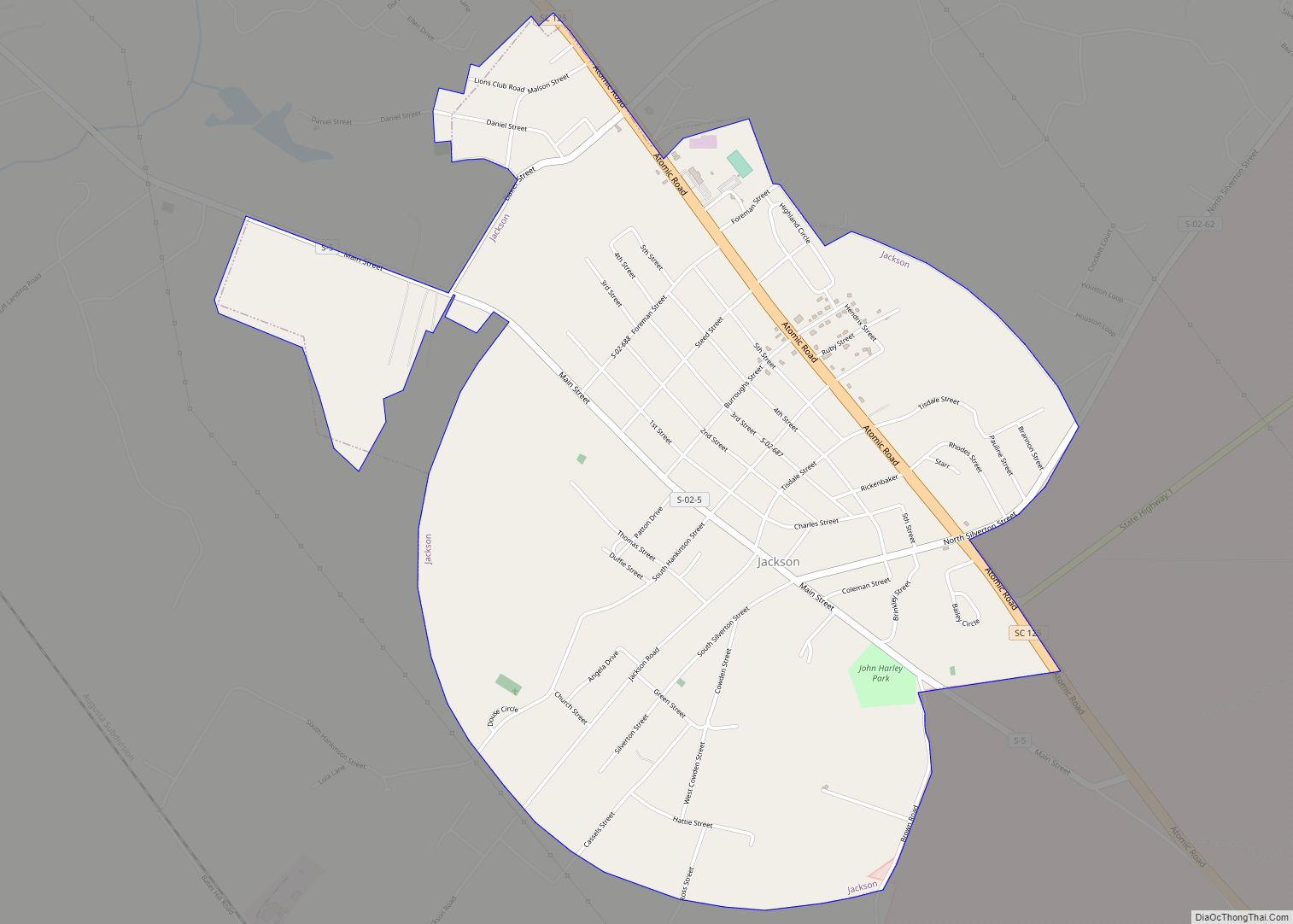
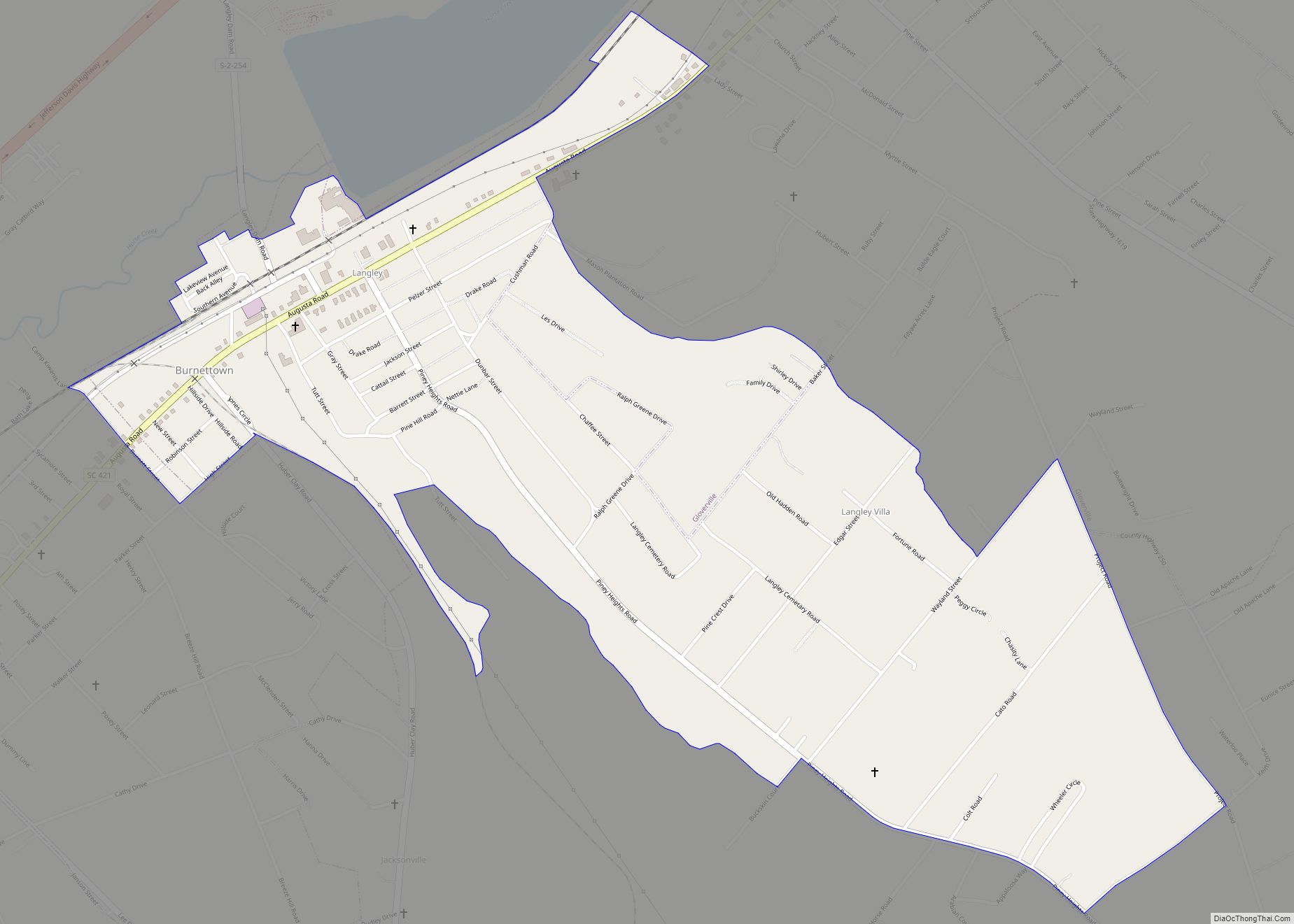
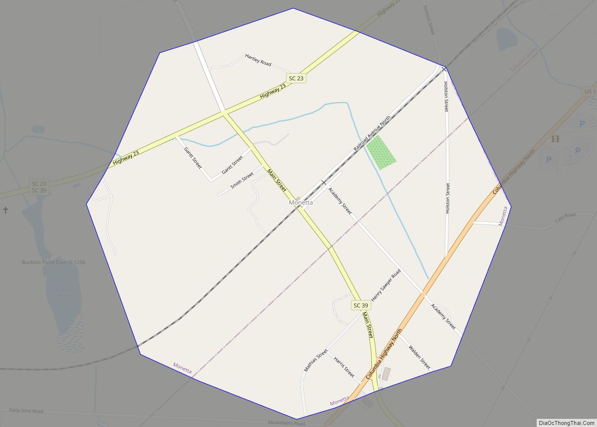
Online Interactive Map
Click on ![]() to view map in "full screen" mode.
to view map in "full screen" mode.
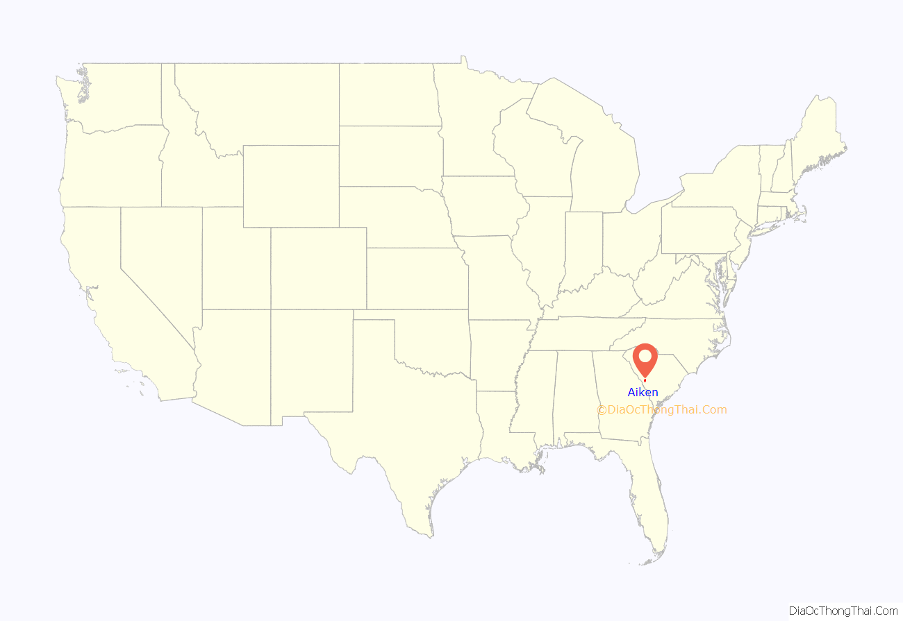
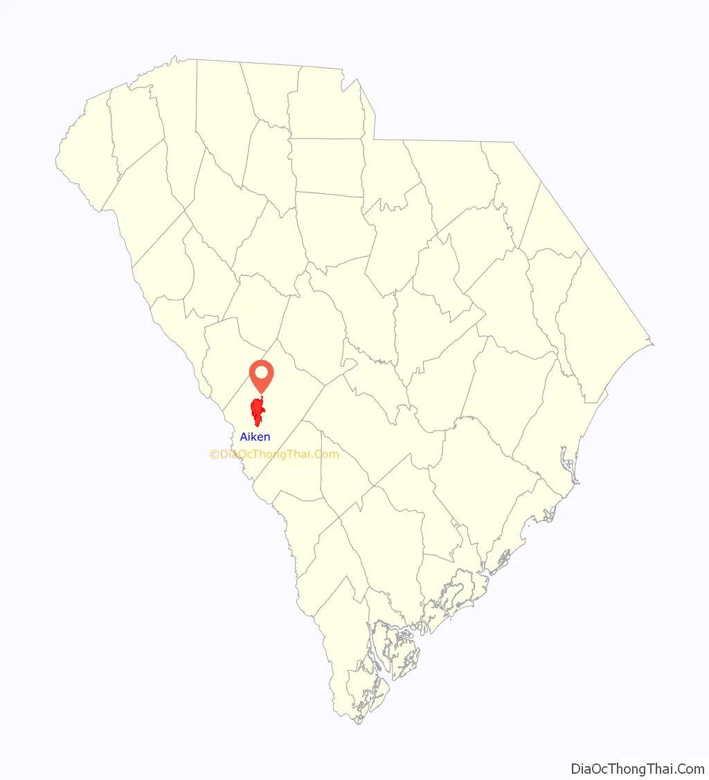
Aiken location map. Where is Aiken city?
History
The municipality of Aiken was incorporated on December 19, 1835. The community formed around the terminus of the South Carolina Canal and Railroad Company, a rail line from Charleston to the Savannah River, and was named for William Aiken, the railroad’s first president.
During Sherman’s March to the Sea in the American Civil War Sherman ordered Hugh Judson Kilpatrick and the cavalry corps he commanded to march through South Carolina. By February 5, they had reached Aiken County. While in Aiken county Kilpatrick fought Joseph Wheeler and his cavalry corps. This battle, called the Battle of Aiken, was a Confederate victory.
Originally it was in the Edgefield District. With population increases, in 1871 Aiken County was organized, made up of parts of neighboring counties. Among its founding commissioners were three African-American legislators: Prince Rivers; Samuel J. Lee, speaker of the state House and the first black man admitted to the South Carolina Bar; and Charles D. Hayne, a free man of color from one of Charleston’s elite families.
Aiken was a planned town, and many of the streets in the historic district are named for other cities and counties in South Carolina, including Abbeville, Barnwell, Beaufort, Chesterfield, Colleton, Columbia, Dillon, Edgefield, Edisto, Fairfield, Florence, Greenville, Hampton, Horry, Jasper, Kershaw, Lancaster, Laurens, Marion, Marlboro, McCormick, Newberry, Orangeburg, Pendleton, Pickens, Richland, Sumter, Union, Williamsburg and York.
In the late 19th century, Aiken gained fame as a wintering spot for wealthy people from the Northeast. Thomas Hitchcock, Sr. and William C. Whitney established the Aiken Winter Colony. Over the years Aiken became a winter home for many notable people, including George H. Bostwick, James B. Eustis, Madeleine Astor, William Kissam Vanderbilt, Eugene Grace, president of Bethlehem Steel, Allan Pinkerton, and W. Averell Harriman.
Between 1890 and the 1920s, many Jewish immigrants settled in Aiken. The Jewish immigrants were from Eastern Europe, including Russia and Poland. Many were from Knyszyn, Poland. In 1905, a group of Russian-Jewish socialists from New York founded a farming colony in Aiken County that was known as “Happyville”. Adath (Adas) Yeshurun (Congregation of Israel) Synagogue was chartered in Aiken in 1921 and the cornerstone was laid in 1925. An historical marker was added to the synagogue in 2014, sponsored by the Jewish Historical Society of South Carolina. In 1903, the Jewish-American peddler Abraham Surasky was the victim of an antisemitic murder that occurred near Aiken.
Savannah River Plant
The United States Atomic Energy Commission’s selection of a site near Aiken for a plant to produce fuel for thermonuclear weapons was announced on November 30, 1950. Residences and businesses at Ellenton, South Carolina, were bought for use for the plant site. Residents were moved to New Ellenton, which was constructed about eight miles north, or to neighboring towns.
The site was named the Savannah River Plant, and renamed the Savannah River Site in 1989. The facility contains five production reactors, fuel fabrication facilities, a research laboratory, heavy water production facilities, two fuel reprocessing facilities, and tritium recovery facilities.
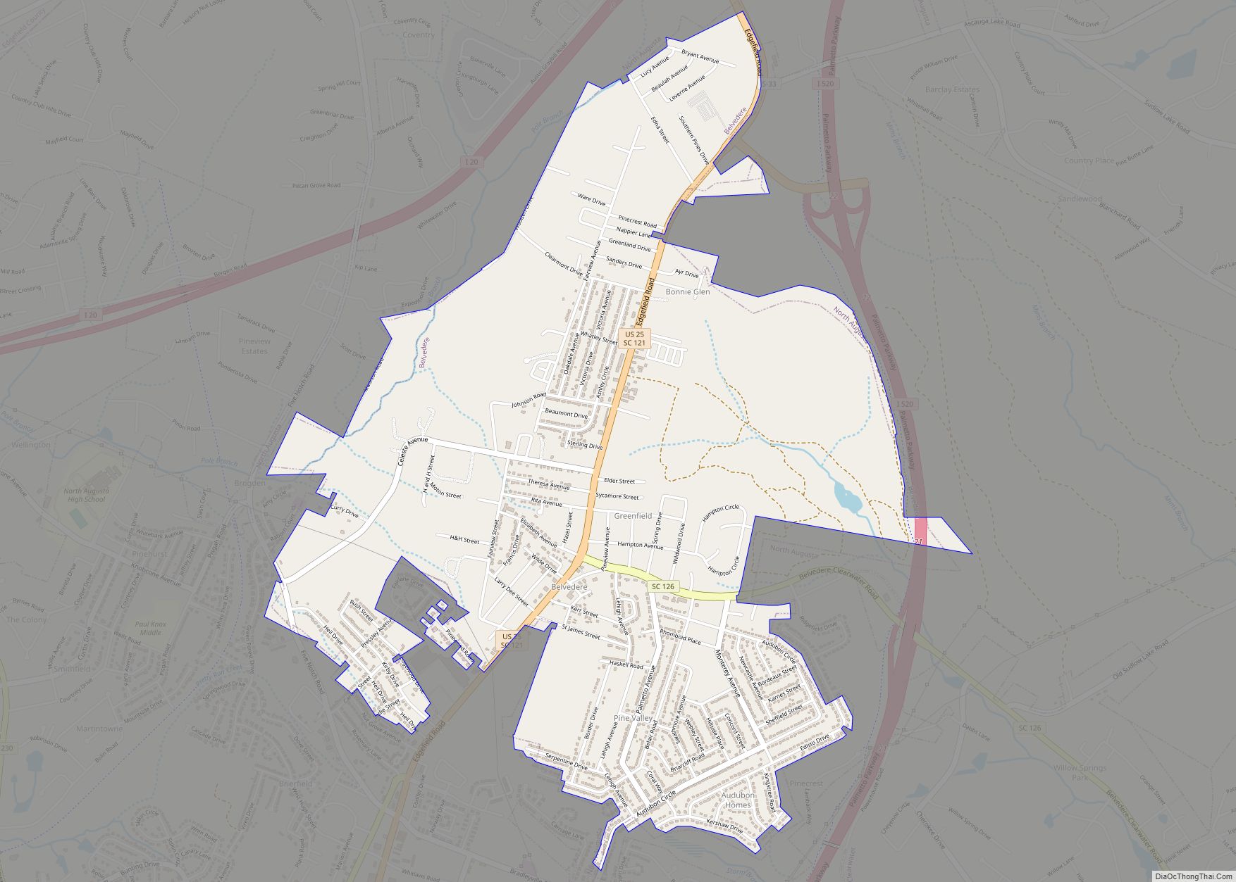
Aiken Road Map
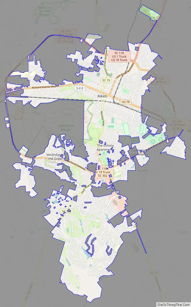
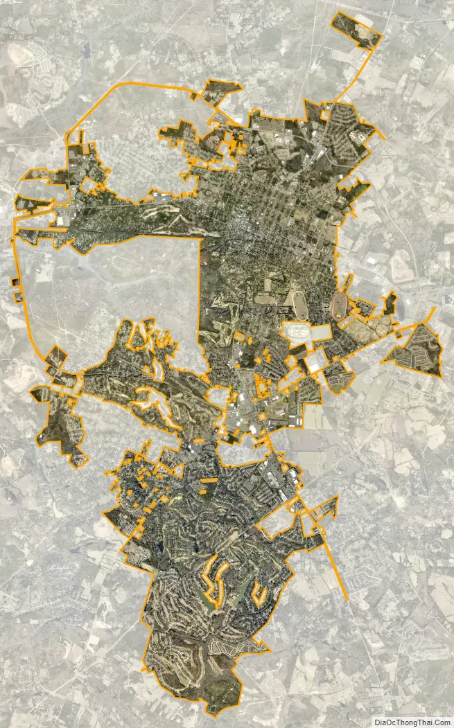
Aiken city Satellite Map
Geography
Aiken is near the center of Aiken County. It is 20 miles (32 km) northeast of Augusta, Georgia, along U.S. Route 1 and 78. Interstate 20 passes 6 miles (10 km) to the north of the city, with access via South Carolina Highway 19 (Exit 18) and US 1 (Exit 22).
According to the United States Census Bureau, the city has an area of 20.8 square miles (54.0 km), of which 20.7 square miles (53.6 km) is land and 0.15 square miles (0.4 km), or 0.68%, is water.
Aiken has a humid subtropical climate characterized by hot, humid summers and cool, dry winters, but experiences milder temperatures throughout the year than the rest of the state. Precipitation is distributed relatively uniformly throughout the year, with mostly rain in the milder months and occasional snow in the winter. The coldest recorded temperature was −4 °F or −20 °C on January 21, 1985, and the hottest 109 °F or 42.8 °C on August 21, 1983.
See also
Map of South Carolina State and its subdivision:- Abbeville
- Aiken
- Allendale
- Anderson
- Bamberg
- Barnwell
- Beaufort
- Berkeley
- Calhoun
- Charleston
- Cherokee
- Chester
- Chesterfield
- Clarendon
- Colleton
- Darlington
- Dillon
- Dorchester
- Edgefield
- Fairfield
- Florence
- Georgetown
- Greenville
- Greenwood
- Hampton
- Horry
- Jasper
- Kershaw
- Lancaster
- Laurens
- Lee
- Lexington
- Marion
- Marlboro
- McCormick
- Newberry
- Oconee
- Orangeburg
- Pickens
- Richland
- Saluda
- Spartanburg
- Sumter
- Union
- Williamsburg
- York
- Alabama
- Alaska
- Arizona
- Arkansas
- California
- Colorado
- Connecticut
- Delaware
- District of Columbia
- Florida
- Georgia
- Hawaii
- Idaho
- Illinois
- Indiana
- Iowa
- Kansas
- Kentucky
- Louisiana
- Maine
- Maryland
- Massachusetts
- Michigan
- Minnesota
- Mississippi
- Missouri
- Montana
- Nebraska
- Nevada
- New Hampshire
- New Jersey
- New Mexico
- New York
- North Carolina
- North Dakota
- Ohio
- Oklahoma
- Oregon
- Pennsylvania
- Rhode Island
- South Carolina
- South Dakota
- Tennessee
- Texas
- Utah
- Vermont
- Virginia
- Washington
- West Virginia
- Wisconsin
- Wyoming