Houston County is a county located in the U.S. state of Texas. As of the 2020 census, its population was 22,066. Its county seat is Crockett. Houston County was one of 46 entirely dry counties in the state of Texas, until voters in a November 2007 special election legalized the sale of alcohol in the county.
Houston County was the first new county created under the 9-year Republic of Texas on June 12, 1837. The original boundaries of Houston County also included all of present-day Anderson and Trinity Counties, and portions of present-day Henderson and Polk Counties.
The county is named for Sam Houston, President of the Republic of Texas and Governor of Texas. Other than being named for the same person, Houston County is not related to the City of Houston, which is located about 100 mi (160 km) to the south, in Harris County.
A county historical museum is located in a former railroad depot, located on First Street in Crockett.
| Name: | Houston County |
|---|---|
| FIPS code: | 48-225 |
| State: | Texas |
| Founded: | 1837 |
| Named for: | Sam Houston |
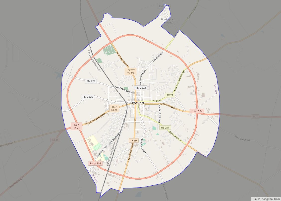
| Seat: | Crockett |
| Largest city: | Crockett |
| Total Area: | 1,237 sq mi (3,200 km²) |
| Land Area: | 1,231 sq mi (3,190 km²) |
| Total Population: | 22,066 |
| Population Density: | 18/sq mi (6.9/km²) |
| Time zone: | UTC−6 (Central) |
| Summer Time Zone (DST): | UTC−5 (CDT) |
| Website: | www.co.houston.tx.us |
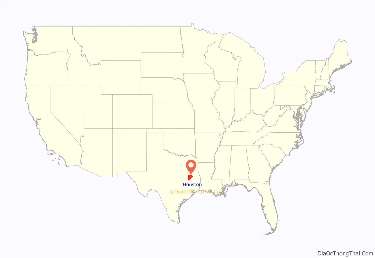
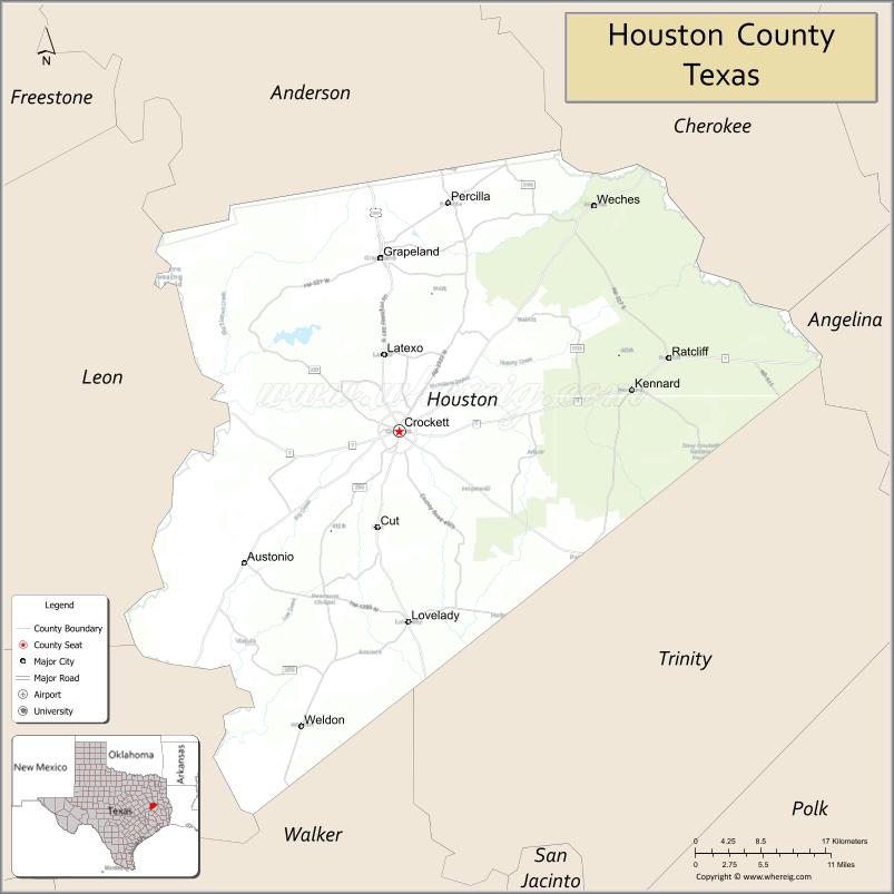
Houston County location map. Where is Houston County?
History
Samuel Cartmill Hiroms (1836–1920) was born in present-day Polk County, his parents having been among Stephen F. Austin’s “Old 300” families. Hiroms was an educator and a surveyor, who served in the Confederate Army. His second wife Emily Ann (née Johnston, 1853–1948) and he settled in the Creek community of Houston County. Their homestead was adjacent to what is now the Austonio Baptist Church on State Highway 21 in Austonio, Texas.
Collin Aldrich (1801–1842) was a veteran of the Battle of San Jacinto, and was the first judge in Houston County, having served during the Republic of Texas from 1837 to 1841.
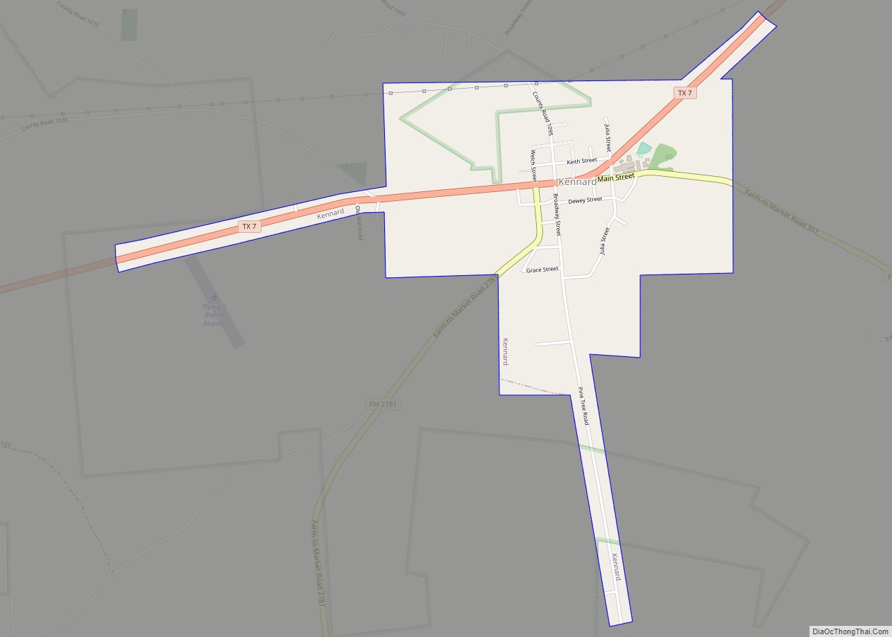
Eli Coltharp established his Coltharp Hill in Houston County near Kennard. The store, post office, gristmill, cotton gin, blacksmith shop, and millinery shop were located on the stagecoach route west of Nacogcoches in Houston County. When the railroad bypassed the Contharp community, many of the residents relocated to work at a nearby sawmill.
James Murphy Hager of Kentucky and his wife Nacoma (née Clark) established the Hagerville community in the 1840s. Hager was a farmer, cabinet maker, and blacksmith. The stagecoach from Nacogdoches to Navasota ran beside the Hagers’ log home. One of the Hager sons donated land for a church and a school. A post office was at Hagerville from 1891 to 1905.
The Four C Mill operated in Houston County during the first two decades of the 20th century. R. M. Keith, agent of the Central Coal and Coke Company in Kansas City, Missouri, began buying virgin timber in the fall of 1899. Lumber to construct the new mill was cut by a small sawmill purchased in early 1901 from J. H. Ratcliff. Keith organized the Louisiana and Texas Lumber Company to operate the Four C. The mill was producing 300,000 board feet of lumber daily by June 1902. Ratcliff Lake, now a United States Department of Interior recreational site, was the millpond for the Four C. The Texas Southeastern Railroad laid track from Lufkin to haul out the lumber. The town of Ratcliff was separated from the Four C by a fence, built to discourage the mill workers from spending their money outside the company town. The 120,000 acres were in time exhausted, and by 1920, the mill shut down.
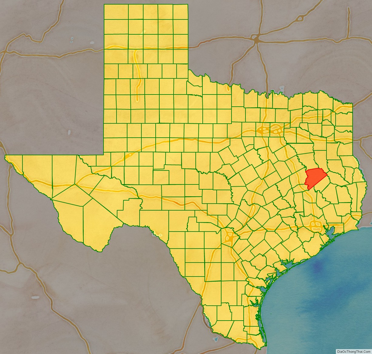
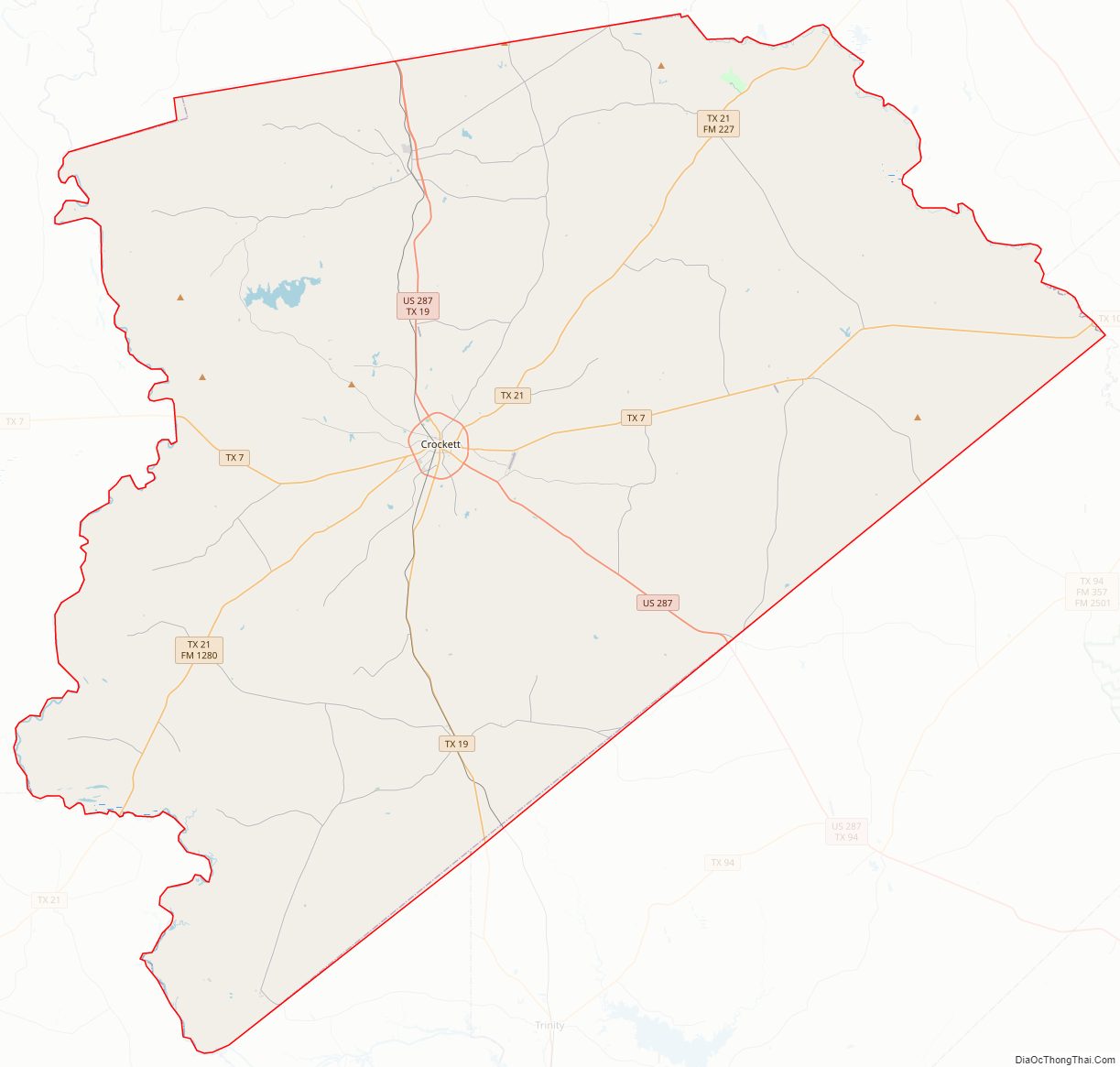
Houston County Road Map
Geography
According to the U.S. Census Bureau, the county has a total area of 1,237 square miles (3,200 km), of which 1,231 square miles (3,190 km) are land and 5.7 square miles (15 km) (0.5%) are covered by water.
Adjacent counties
- Anderson County (north)
- Cherokee County (northeast)
- Angelina County (east)
- Trinity County (southeast)
- Walker County (south)
- Madison County (southwest)
- Leon County (west)
National protected area
- Davy Crockett National Forest (part)
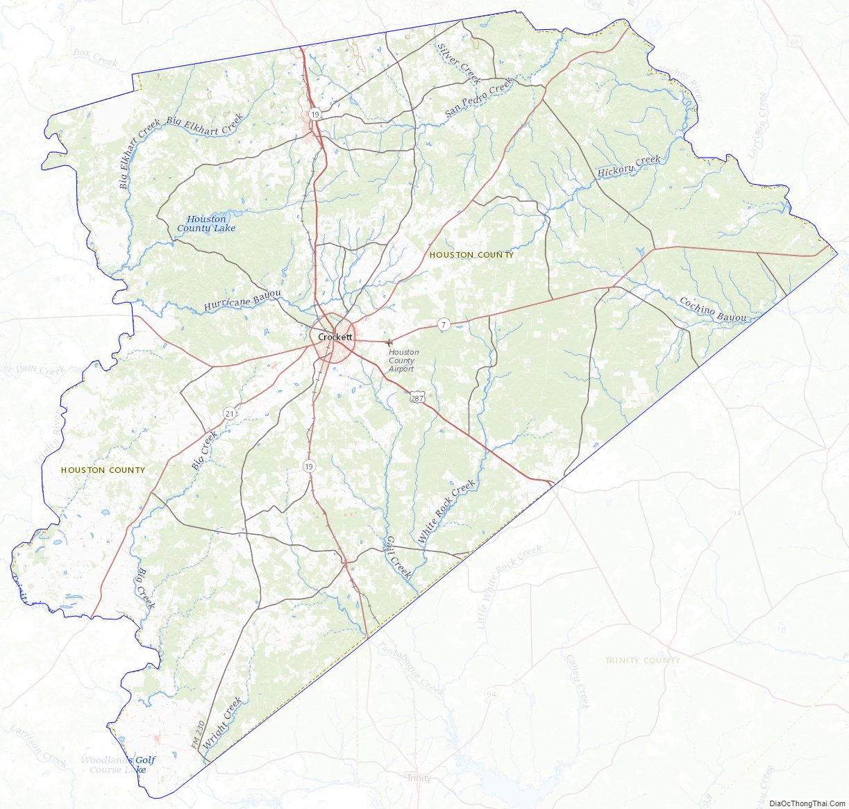
Houston County Topographic Map
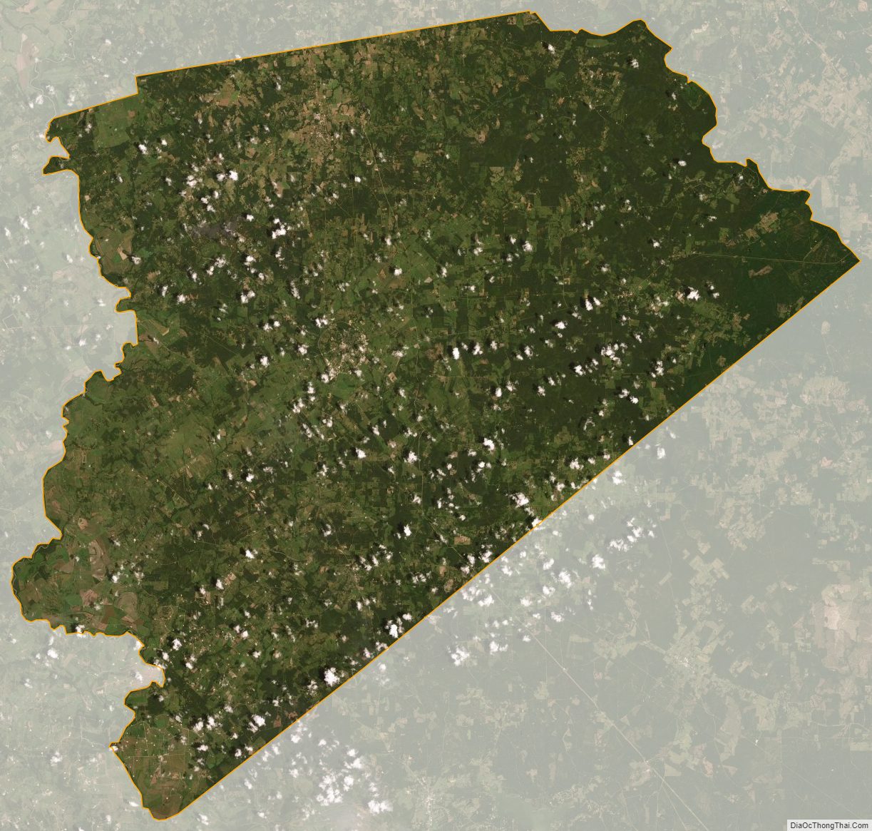
Houston County Satellite Map
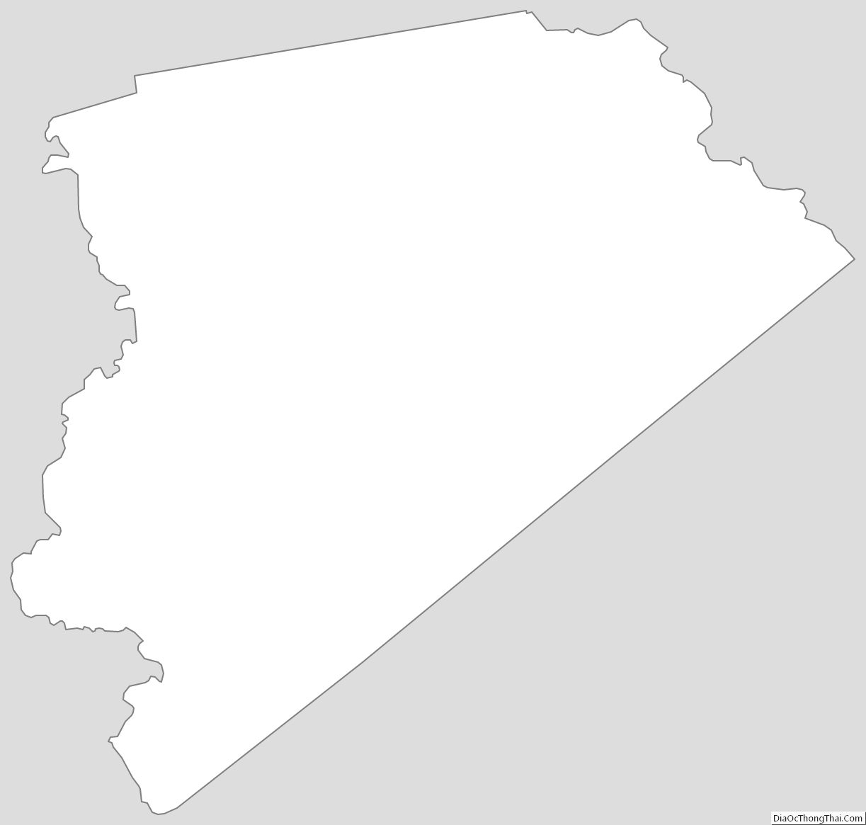
Houston County Outline Map