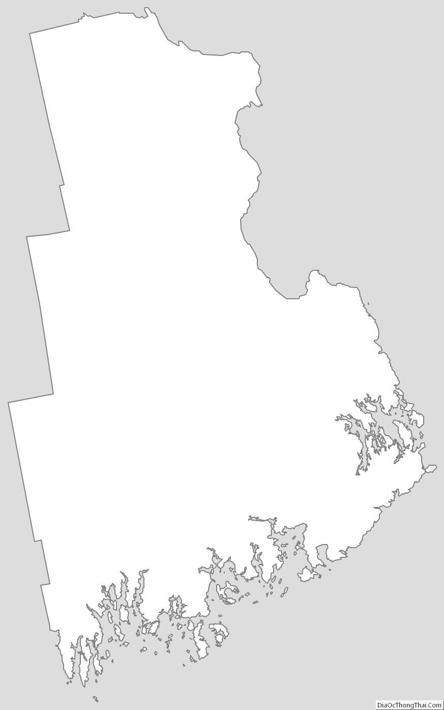
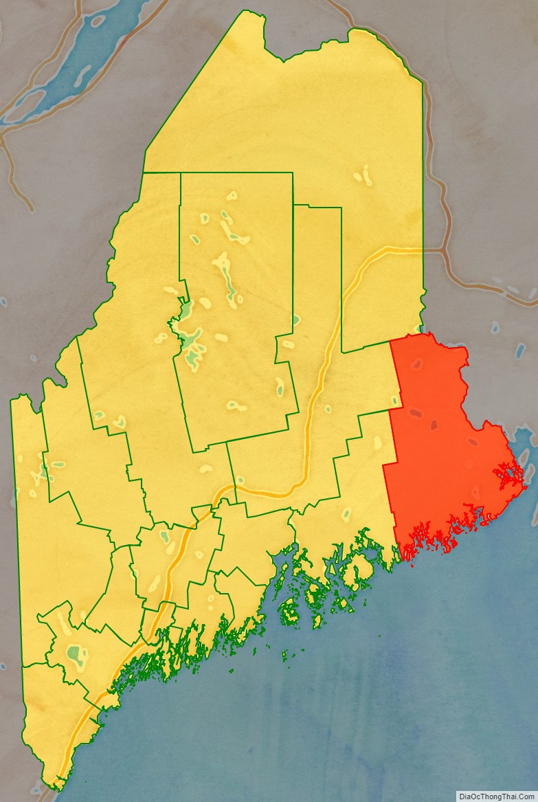
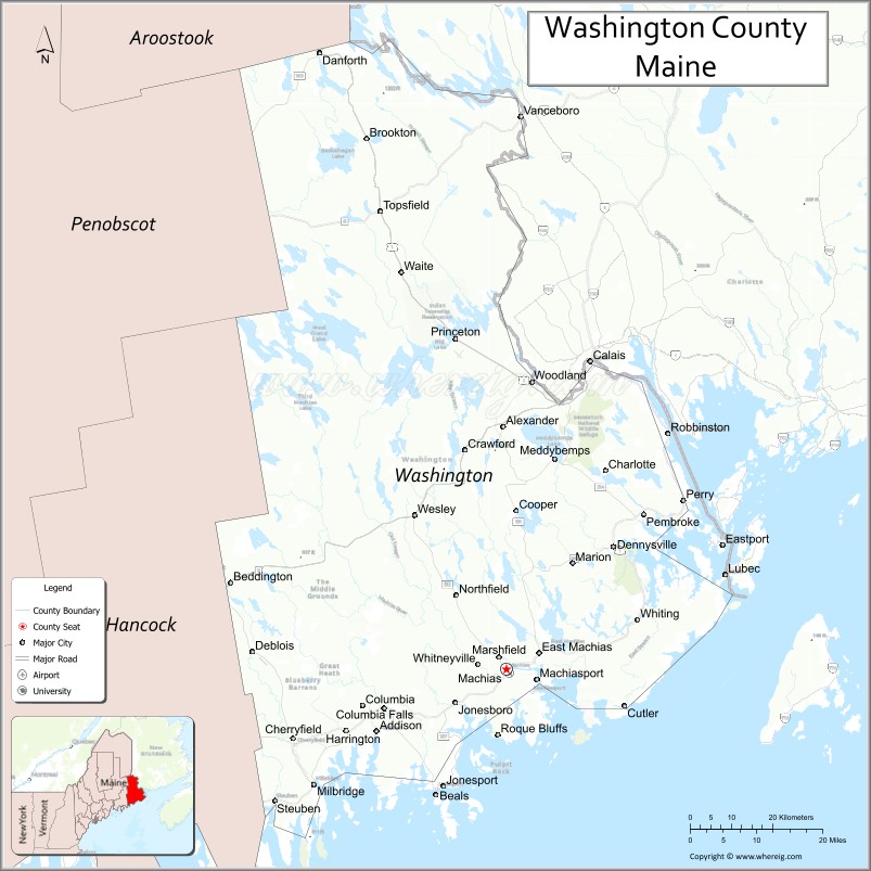
Washington County is a county located in the U.S. state of Maine. As of the 2010 census, its population was 31,095, making it the third-least populous county in Maine. Its county seat is Machias. The county was established on June 25, 1789. It borders the Canadian province of New Brunswick.
It is sometimes referred to as “Sunrise County” because it includes the easternmost point in the 48 contiguous United States. Claims have been made that Washington County is where the sun first rises on the 48 contiguous states. Many small seaside communities have small-scale fishing-based economies. Tourism is also important along the county’s shoreline, but it is not as important as elsewhere in the state. The blueberry crop plays a major role in the county’s economy.
| Name: | Washington County |
|---|---|
| FIPS code: | 23-029 |
| State: | Maine |
| Founded: | June 25, 1789 |
| Named for: | George Washington |
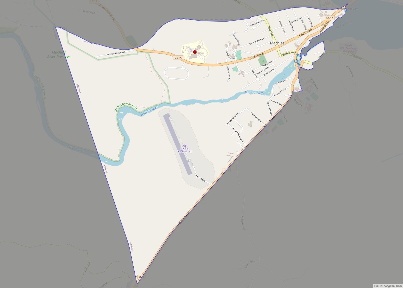
| Seat: | Machias |
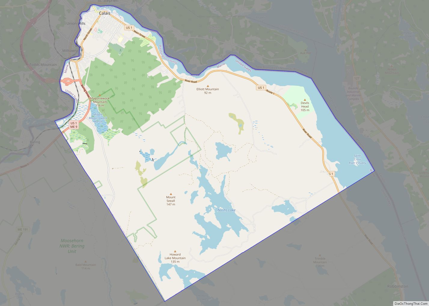
| Largest city: | Calais |
| Total Area: | 3,258 sq mi (8,440 km²) |
| Land Area: | 2,563 sq mi (6,640 km²) |
| Total Population: | 31,095 |
| Population Density: | 9.5/sq mi (3.7/km²) |
| Time zone: | UTC−5 (Eastern) |
| Summer Time Zone (DST): | UTC−4 (EDT) |
| Website: | washingtoncountymaine.com |
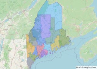
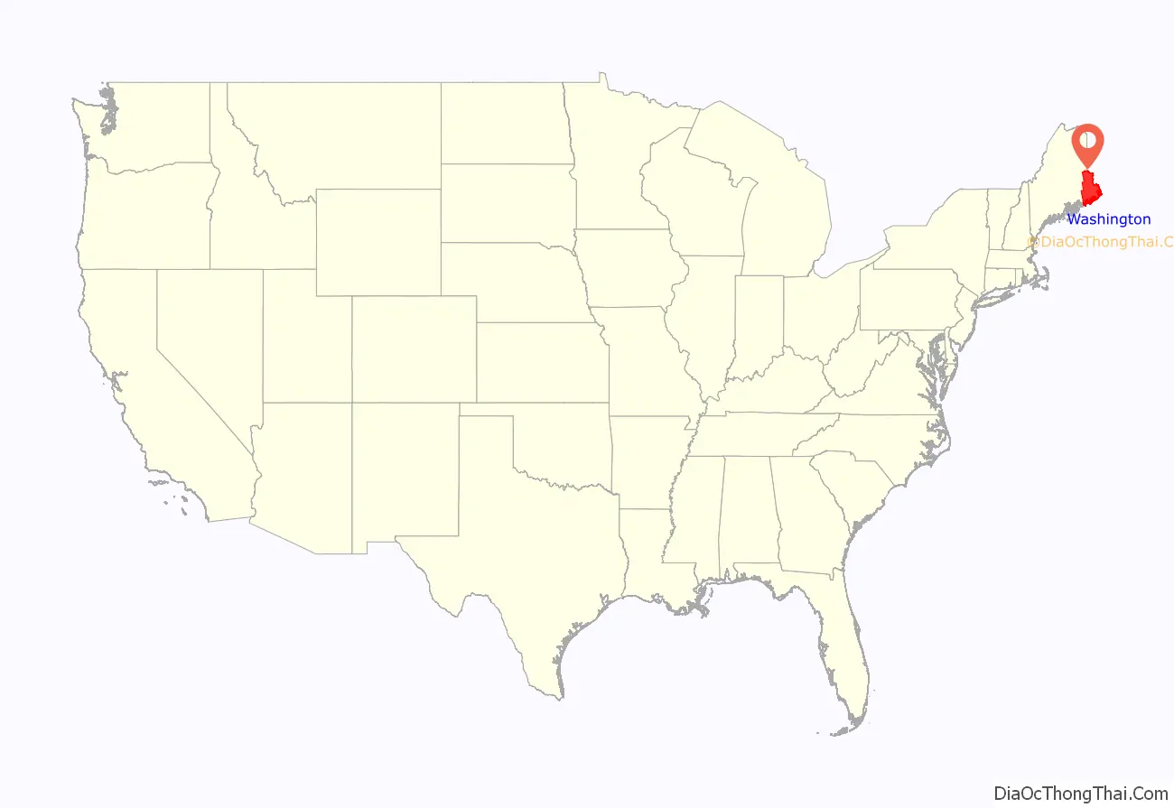
Washington County location map. Where is Washington County?
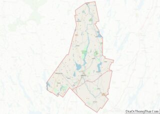
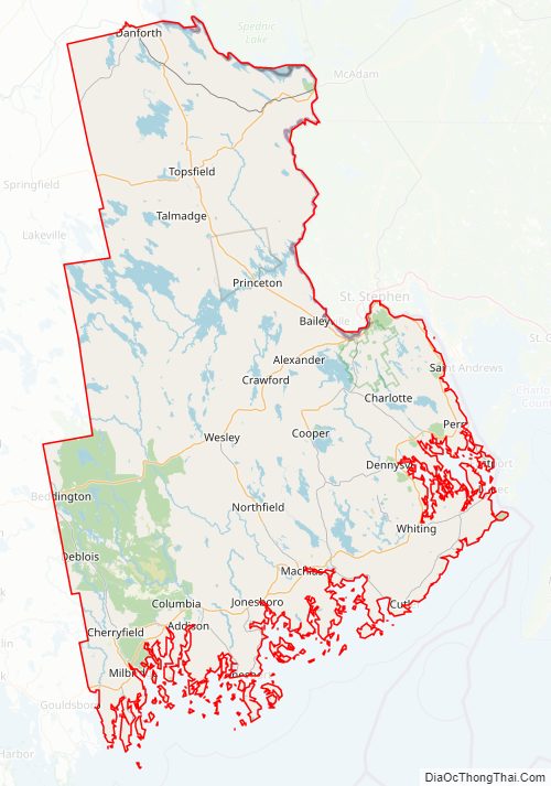
Washington County Road Map
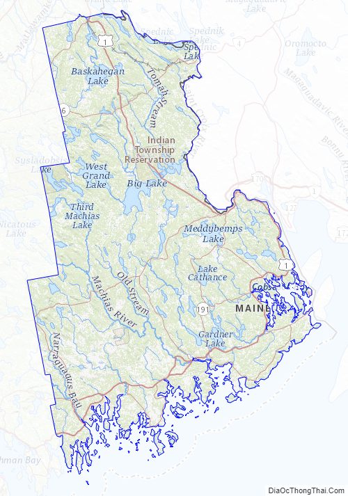
Geography
According to the U.S. Census Bureau, the county has a total area of 3,258 square miles (8,440 km), of which 2,563 square miles (6,640 km) is land and 695 square miles (1,800 km) (21%) is water.
Adjacent counties
- Hancock County – southwest
- Aroostook County – northwest
- Penobscot County – northwest
- York County, New Brunswick, Canada – northeast
- Charlotte County, New Brunswick, Canada – east
National protected areas
- Cross Island National Wildlife Refuge
- Moosehorn National Wildlife Refuge
- Petit Manan National Wildlife Refuge
- Saint Croix Island International Historic Site
Major highways
- US 1
- US 1A
- SR 6
- SR 9
- SR 192
- SR 193
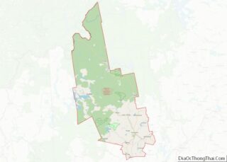
Washington County Topographic Map
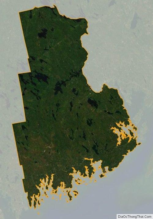
Washington County Satellite Map
Washington County Outline Map