Washington County is a county located in the U.S. state of North Carolina. As of the 2020 census, the population was 11,003. Its county seat is Plymouth. The county was formed in 1799 from the western third of Tyrrell County. It was named for George Washington.
| Name: | Washington County |
|---|---|
| FIPS code: | 37-187 |
| State: | North Carolina |
| Founded: | 1799 |
| Named for: | George Washington |
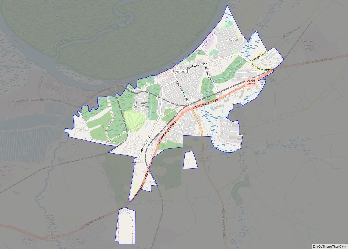
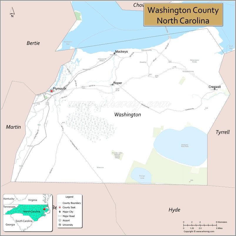
| Seat: | Plymouth |
| Largest town: | Plymouth |
| Total Area: | 424 sq mi (1,100 km²) |
| Land Area: | 348 sq mi (900 km²) |
| Total Population: | 10,892 |
| Population Density: | 31.3/sq mi (12.1/km²) |
| Time zone: | UTC−5 (Eastern) |
| Summer Time Zone (DST): | UTC−4 (EDT) |
| Website: | www.washconc.org |
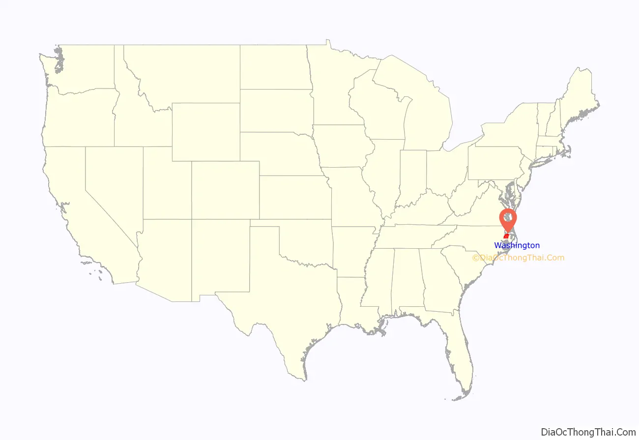
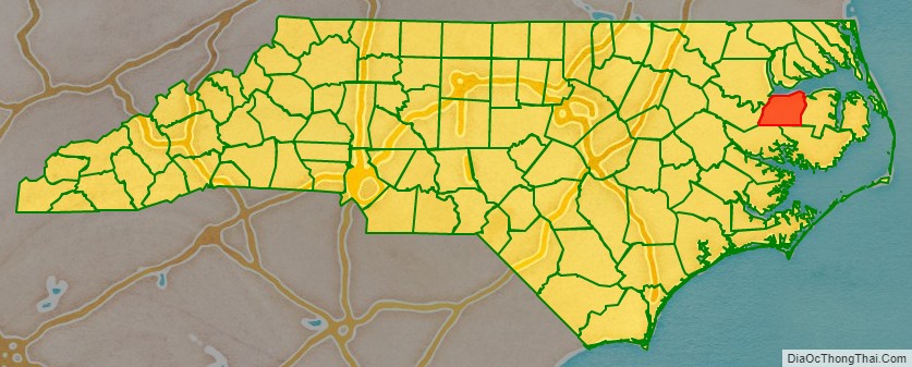
Washington County location map. Where is Washington County?
History
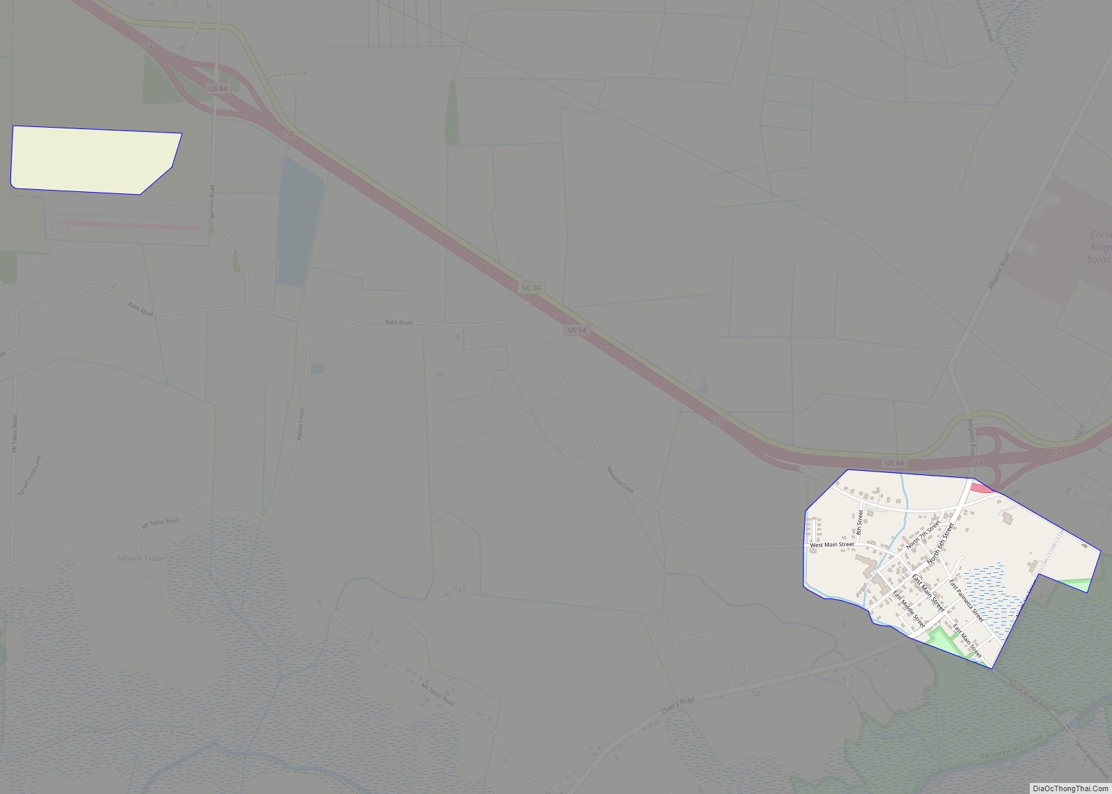
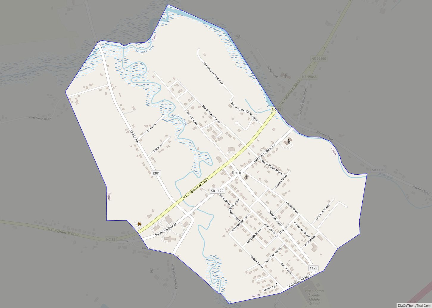
There are three incorporated towns in Washington County; Plymouth is the county seat, while other towns are Roper and Creswell. Washington County is known for rich farmland, extensive forests and abundant public access waters. The Roanoke River and Albemarle Sound form the northern boundary. Lake Phelps is 16,000 acres and is part of Pettigrew State Park in Creswell. Somerset Place is a restored antebellum plantation and NC Historic Site on Lake Phelps.
The Pungo Unit of the Pocosin Lakes National Wildlife Refuge in the southern part of the county is said to have the best public black bear viewing in North Carolina. This part of the state is known for having the world’s largest black bears and highest black bear densities The award-winning NC Black Bear Festival takes place in Plymouth on the first weekend in June.
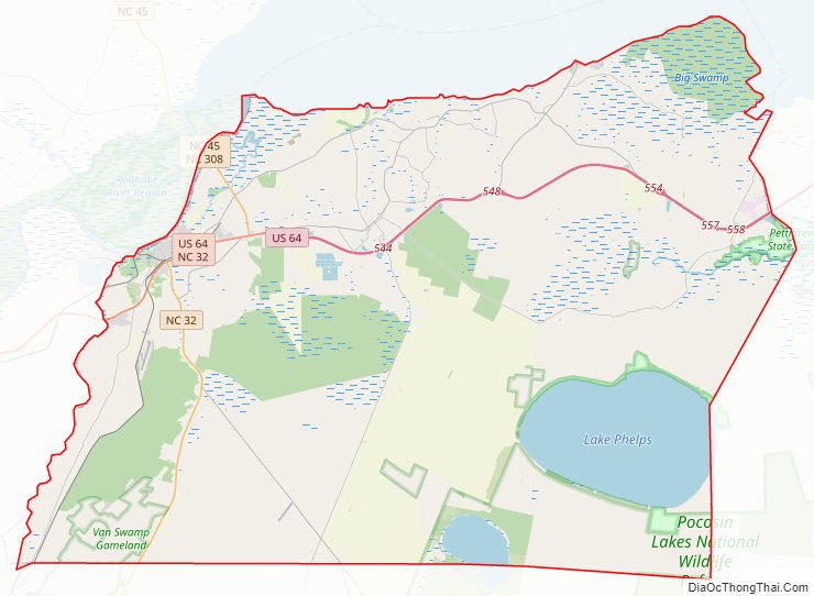
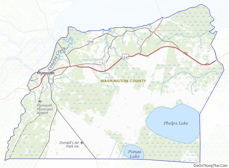
Washington County Road Map
Geography
According to the U.S. Census Bureau, the county has a total area of 424 square miles (1,100 km), of which 348 square miles (900 km) is land and 76 square miles (200 km) (18%) is water. The county borders the Albemarle Sound.
National protected area
- Pocosin Lakes National Wildlife Refuge (part)
State and local protected areas/sites
- Pettigrew State Park (part)
- Somerset Place
- Van Swamp Game Lands (part)
Major water bodies
- Albemarle Sound
- Lake Phelps
- Pungo River
- Roanoke River
Adjacent counties
- Chowan County – north
- Perquimans County – northeast
- Tyrrell County – east
- Hyde County – southeast
- Beaufort County – southwest
- Martin County – west
- Bertie County – northwest
Major highways
- US 64
- NC 32
- NC 37
- NC 45
- NC 94
- NC 99
- NC 149
- NC 308
Washington County Topographic Map
Washington County Satellite Map

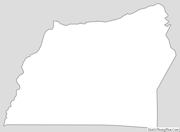
Washington County Outline Map