Bent County is a county located in the U.S. state of Colorado. As of the 2020 census, the population was 5,650. The county seat and only incorporated municipality is Las Animas. The county is named in honor of frontier trader William Bent.
| Name: | Bent County |
|---|---|
| FIPS code: | 08-011 |
| State: | Colorado |
| Founded: | February 6, 1874 |
| Named for: | William Bent |
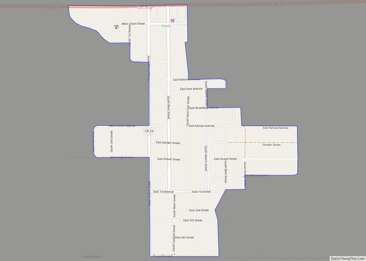
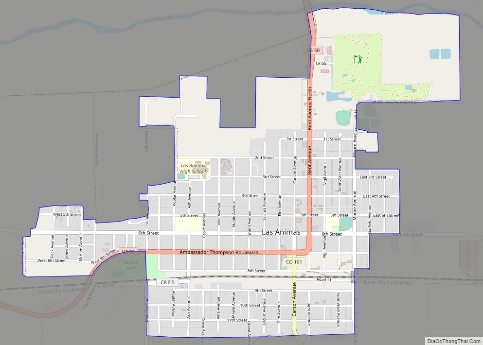
| Seat: | Las Animas |
| Largest city: | Las Animas |
| Total Area: | 1,541 sq mi (3,990 km²) |
| Land Area: | 1,513 sq mi (3,920 km²) |
| Total Population: | 5,759 |
| Population Density: | 3.7/sq mi (1.4/km²) |
| Time zone: | UTC−7 (Mountain) |
| Summer Time Zone (DST): | UTC−6 (MDT) |
| Website: | www.bentcounty.net |
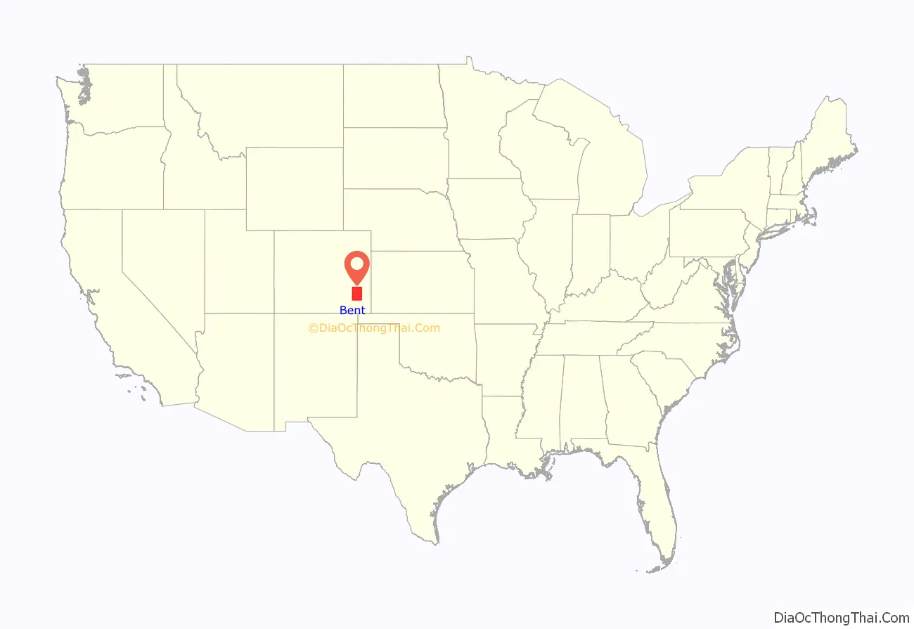
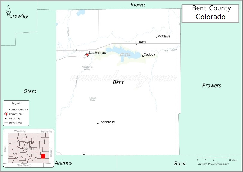
Bent County location map. Where is Bent County?
History
As Colorado experienced population growth following the American Civil War, government had to be closer to the people for commerce and justice to be better served in growing communities. Territorial Bent County was created in February 1870, followed by Greenwood County the following month. The June 1, 1870, Federal Census was several months away and there were plans to apply for statehood. On February 2, 1874, Grand County and Elbert County were formed. On February 6, 1874, Greenwood County was dissolved and divided between Bent and Elbert counties. At the time of this annexation, Bent County included a large portion of southeastern Colorado. In 1889, Bent County acquired its current borders when it was partitioned to create Cheyenne, Lincoln, Kiowa, Otero, and Prowers counties.
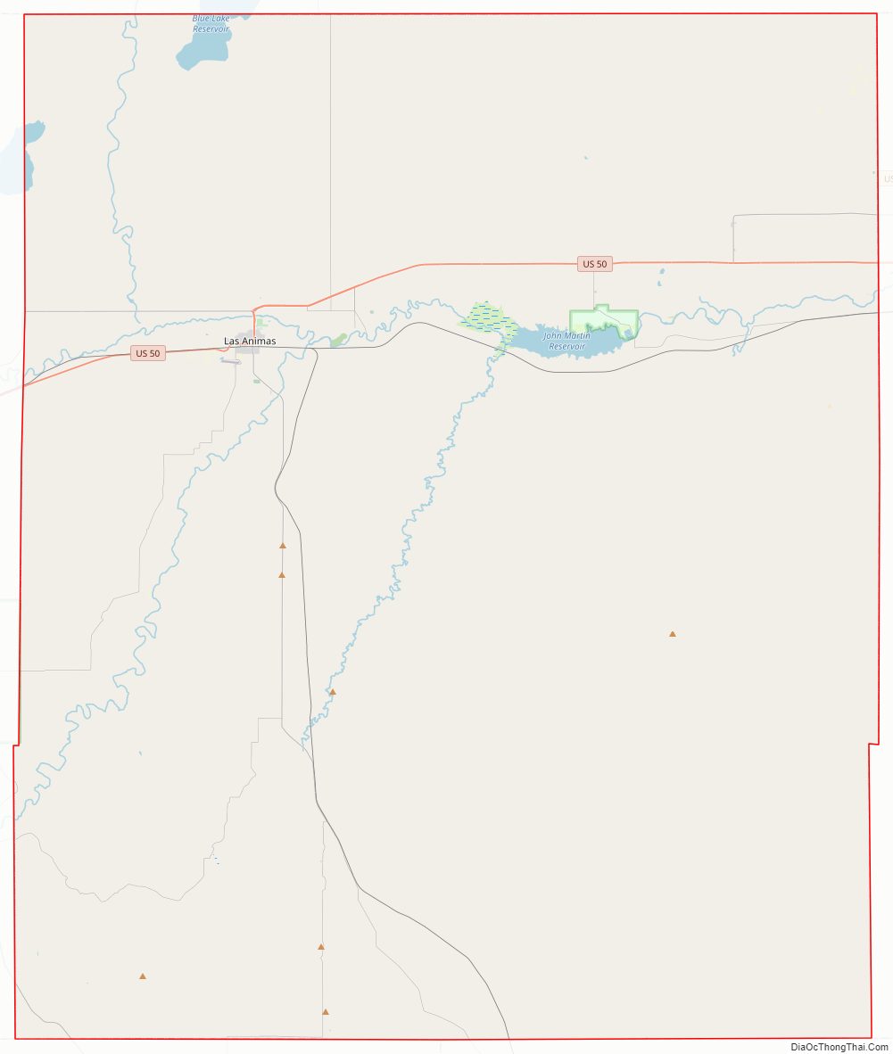
Bent County Road Map
Geography
According to the U.S. Census Bureau, the county has a total area of 1,541 square miles (3,990 km), of which 1,513 square miles (3,920 km) is land and 28 square miles (73 km) (1.8%) is water.
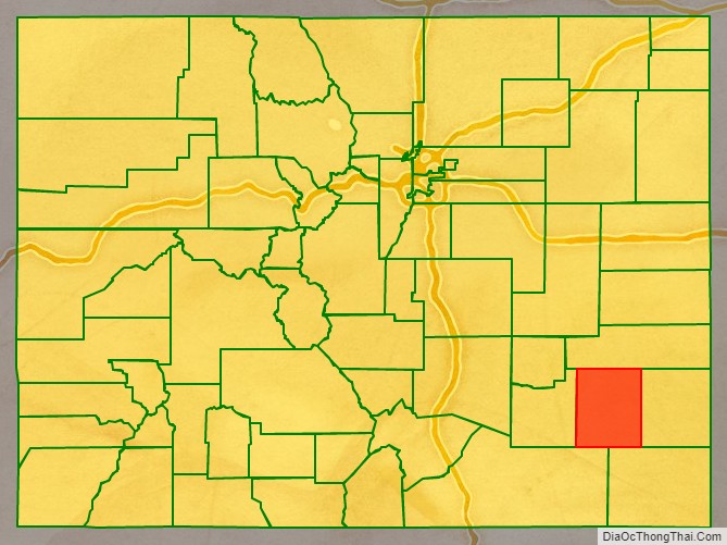
Adjacent counties
- Kiowa County – north
- Prowers County – east
- Baca County – southeast
- Las Animas County – southwest
- Otero County – west
Major Highways
- U.S. Highway 50
- State Highway 101
- State Highway 109
- State Highway 194
- State Highway 196
State protected area
- John Martin Reservoir State Park
Trails and byway
- American Discovery Trail
- Santa Fe National Historic Trail
- Santa Fe Trail National Scenic Byway
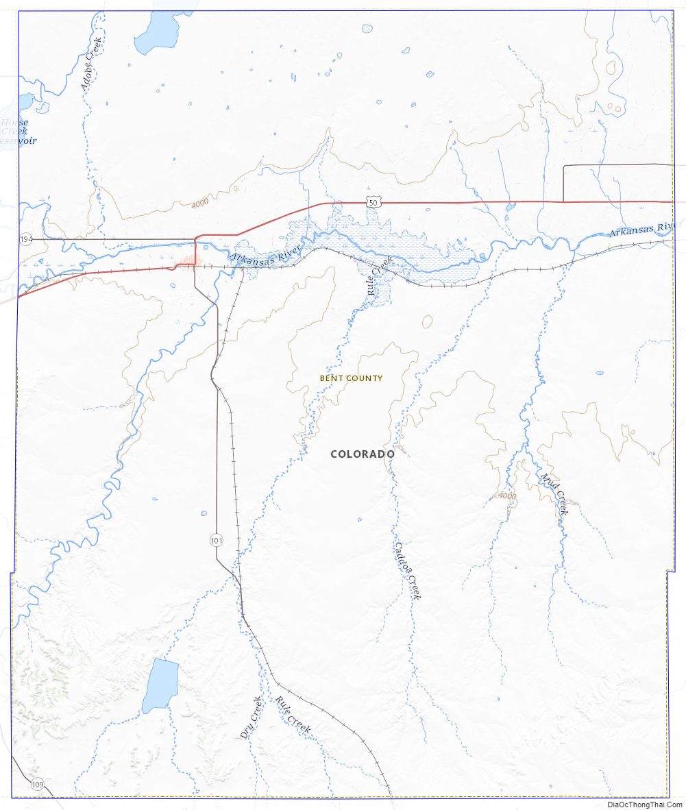
Bent County Topographic Map
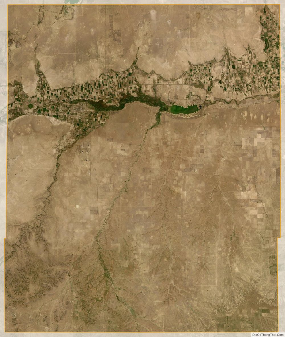
Bent County Satellite Map
Bent County Outline Map