| Name: | Archuleta County |
|---|---|
| FIPS code: | 08-007 |
| State: | Colorado |
| Founded: | April 14, 1885 |
| Named for: | Antonio D. Archuleta |
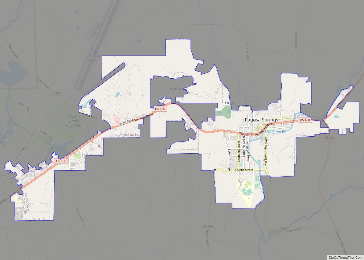
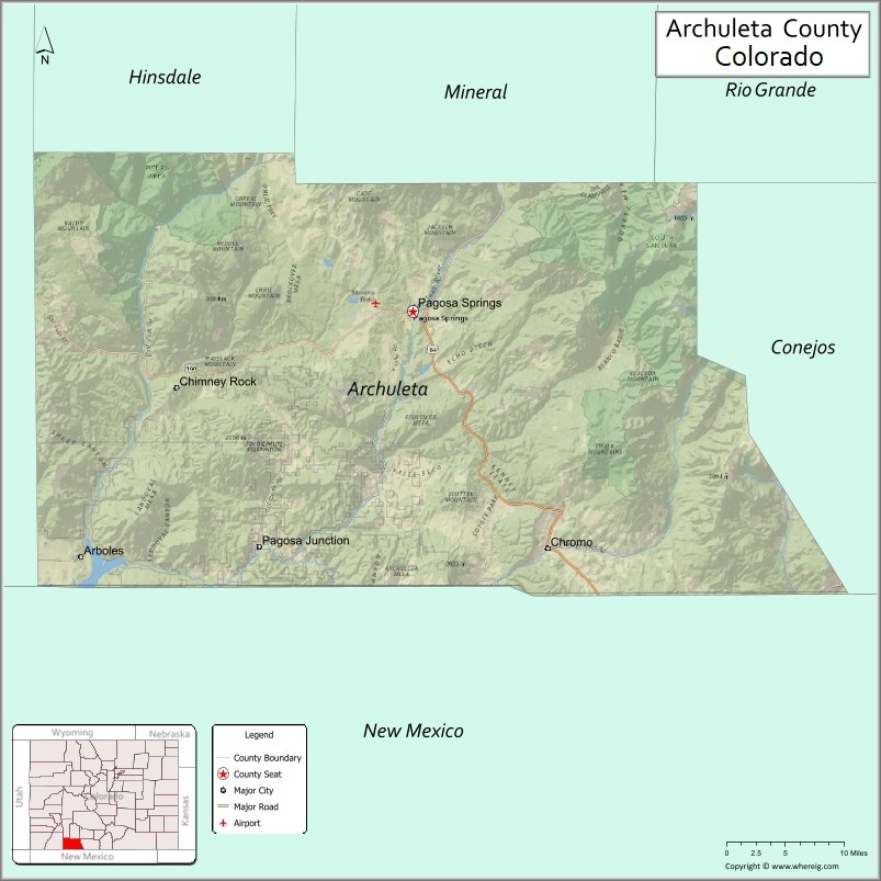
| Seat: | Pagosa Springs |
| Largest town: | Pagosa Springs |
| Total Area: | 1,356 sq mi (3,510 km²) |
| Land Area: | 1,350 sq mi (3,500 km²) |
| Total Population: | 13,359 |
| Population Density: | 9.9/sq mi (3.8/km²) |
| Time zone: | UTC−7 (Mountain) |
| Summer Time Zone (DST): | UTC−6 (MDT) |
| Website: | www.archuletacounty.org |
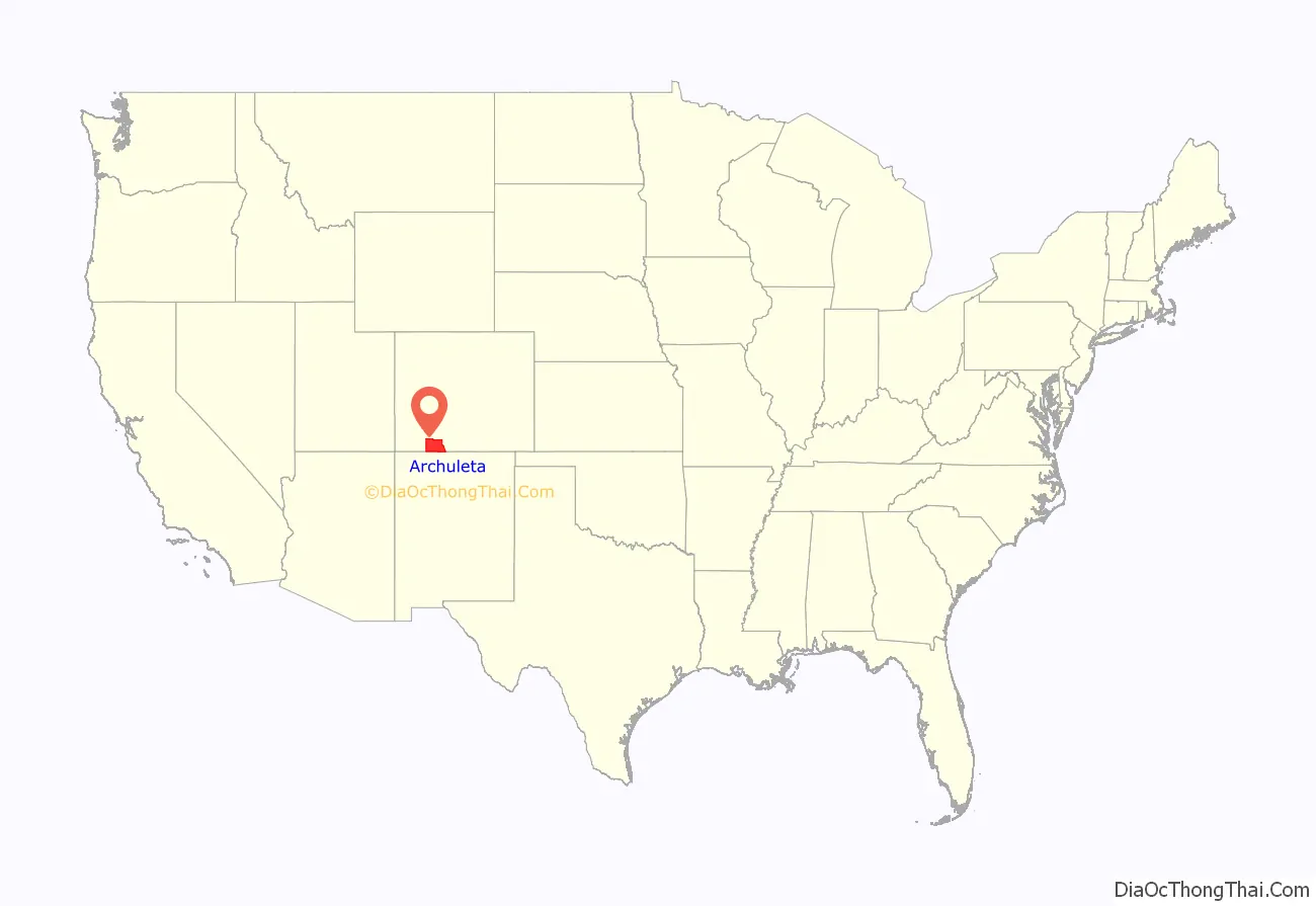
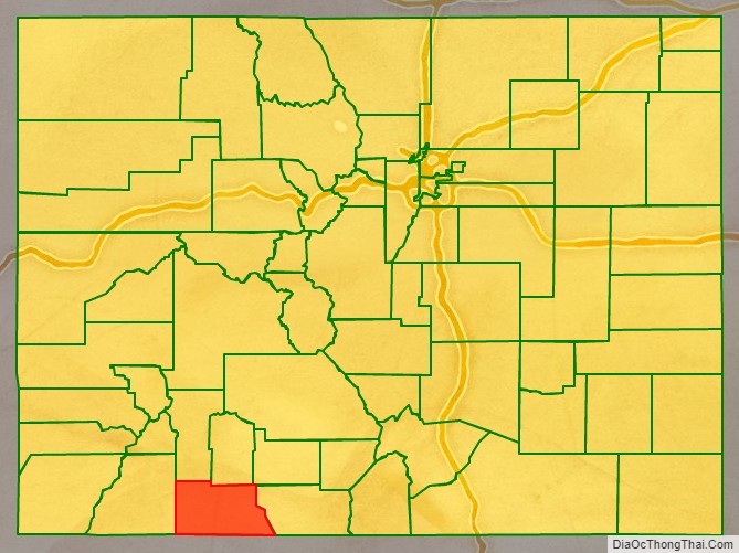
Archuleta County location map. Where is Archuleta County?
History
Archuleta County was created by the Colorado legislature on April 14, 1885, out of western Conejos County. It was named for Jose Manuel Archuleta, “head of one of the old Spanish families of New Mexico“, and in honor of his son Antonio D. Archuleta, who was the Senator from Conejos County at the time.
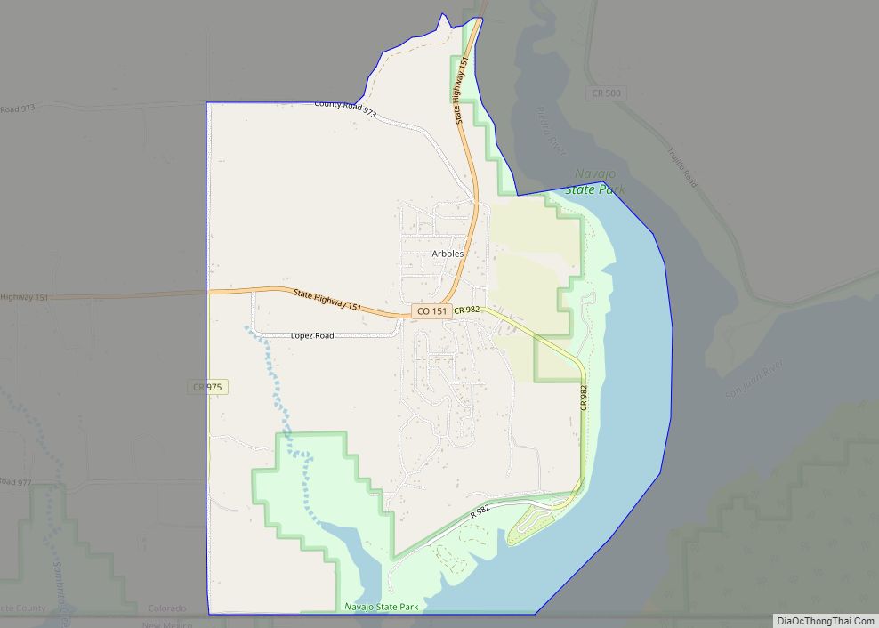
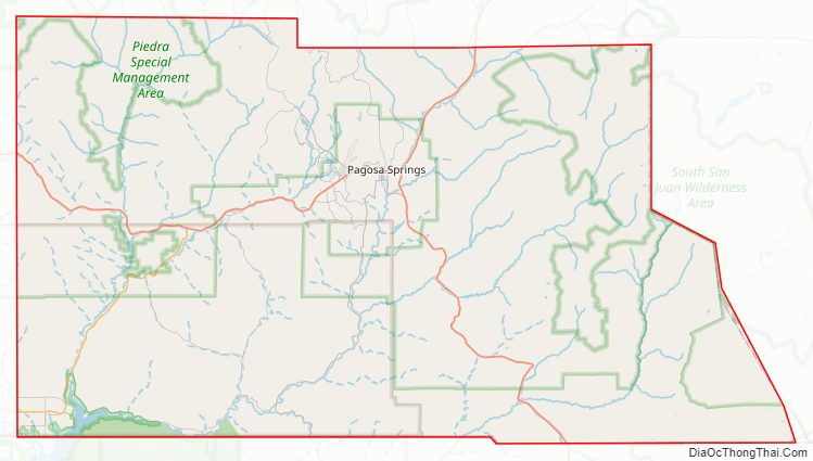
Archuleta County Road Map
Geography
According to the U.S. Census Bureau, the county has a total area of 1,356 square miles (3,510 km), of which 1,350 square miles (3,500 km) is land and 5.3 square miles (14 km) (0.4%) is water.
Adjacent counties
- Mineral County, Colorado – north
- Rio Grande County, Colorado – northeast
- Conejos County, Colorado – east
- Rio Arriba County, New Mexico – south
- San Juan County, New Mexico – southwest
- La Plata County, Colorado – west
- Hinsdale County, Colorado – northwest
Airport
- Stevens Field
Major Highways
- U.S. Highway 84
- U.S. Highway 160
- State Highway 17
- State Highway 151
National protected areas
- Rio Grande National Forest
- San Juan National Forest
- Chimney Rock National Monument
- South San Juan Wilderness
State protected area
- Navajo State Park
Scenic and historic trails
- Continental Divide National Scenic Trail
- Old Spanish National Historic Trail
Waterways
- Chamita River
- Dutton Creek
- Little Navajo River
- Martinez Creek
- McCabe Creek
- Mill Creek
- Piedra River
- Rio Blanco
- Rio Chama
- San Juan River
- Stollsteimer Creek
- Williams Creek
Archuleta County Topographic Map
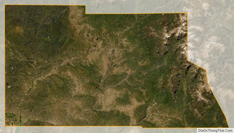
Archuleta County Satellite Map
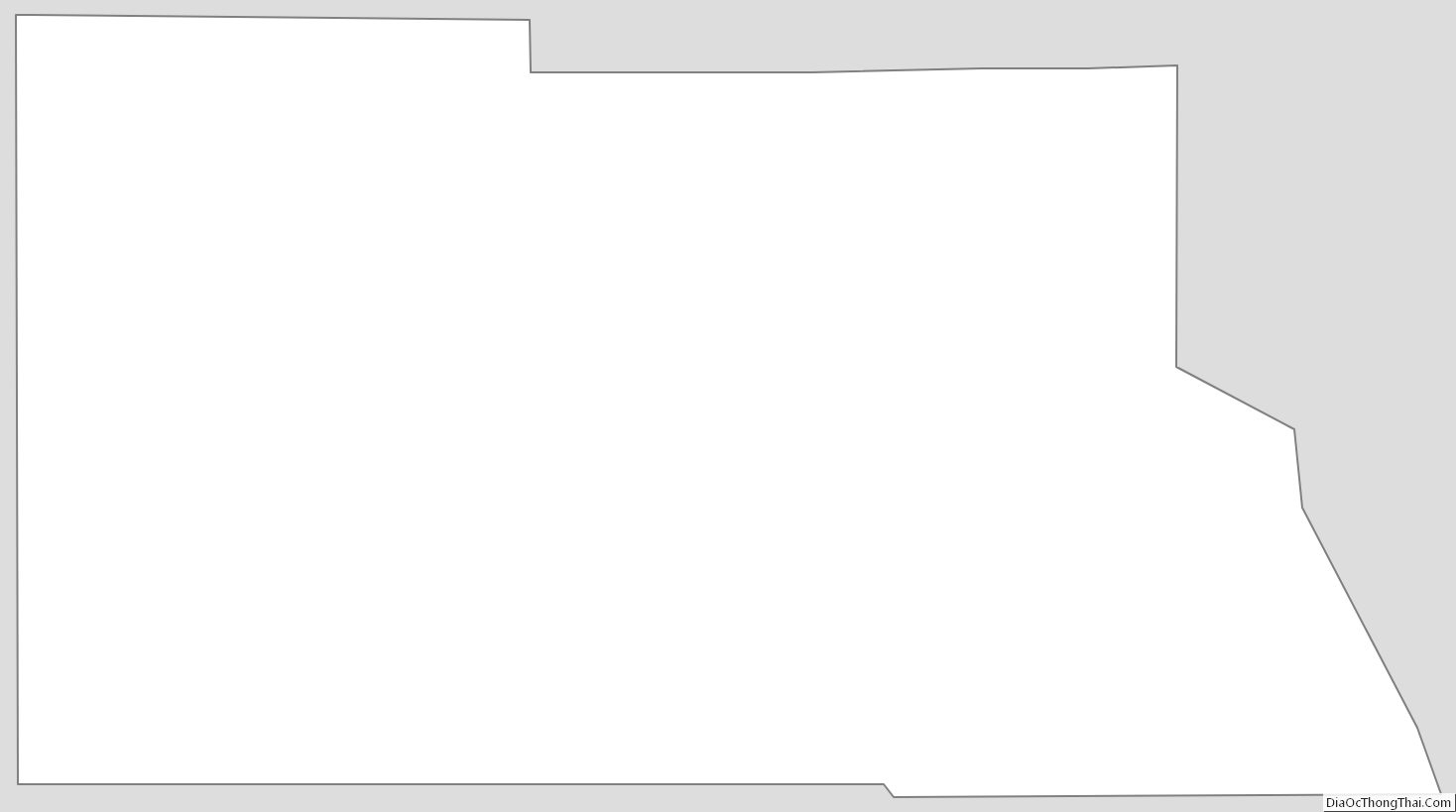
Archuleta County Outline Map