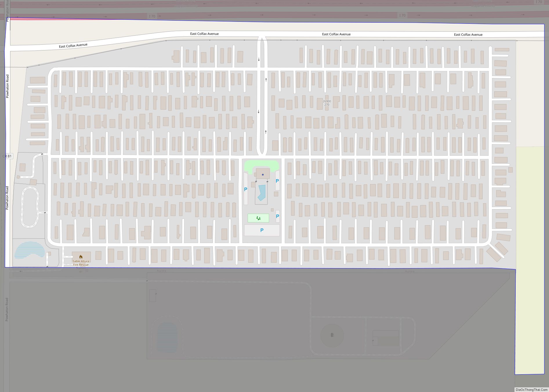
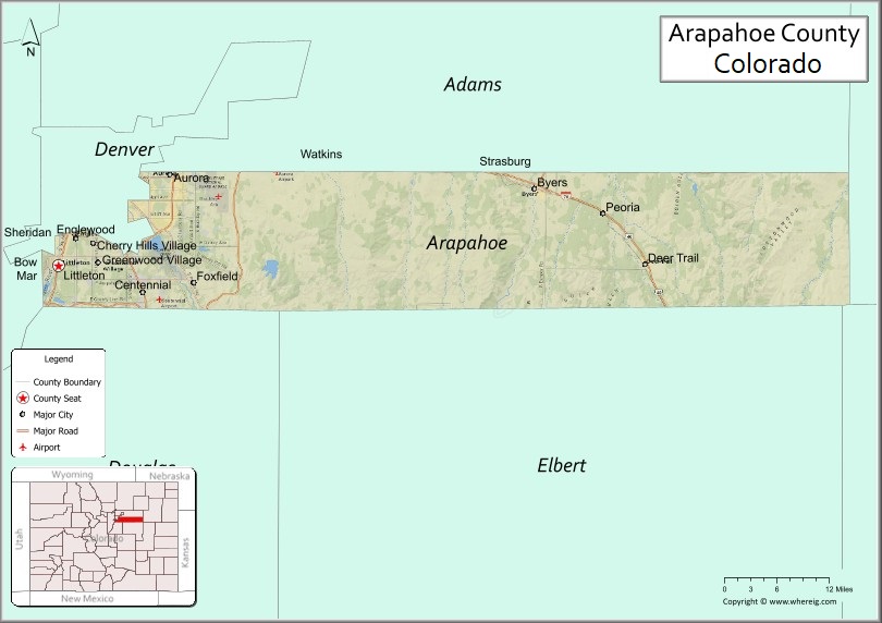
Arapahoe County (/əˈræpəhoʊ/ ə-RAP-ə-hoh) is a county located in the U.S. state of Colorado. As of the 2020 census, its population was 655,070, making it the third-most populous county in Colorado. The county seat is Littleton, and the most populous city is Aurora. The county was named for the Arapaho Native American tribe, who once lived in the region.
Arapahoe County is part of the Denver-Aurora-Lakewood metropolitan statistical area. Arapahoe County calls itself “Colorado’s First County”, since its origins antedate the Pike’s Peak Gold Rush.
| Name: | Arapahoe County |
|---|---|
| FIPS code: | 08-005 |
| State: | Colorado |
| Founded: | November 1, 1861 |
| Named for: | The Arapaho Nation |
| Seat: | Littleton |
| Largest city: | Aurora |
| Total Area: | 805 sq mi (2,080 km²) |
| Land Area: | 798 sq mi (2,070 km²) |
| Total Population: | 655,070 |
| Population Density: | 821/sq mi (317/km²) |
| Time zone: | UTC−7 (Mountain) |
| Summer Time Zone (DST): | UTC−6 (MDT) |
| Website: | www.arapahoegov.com |
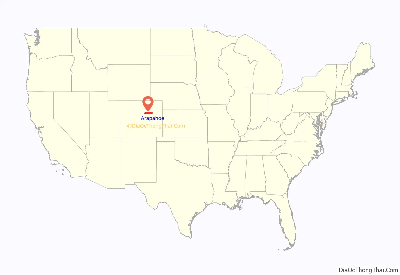
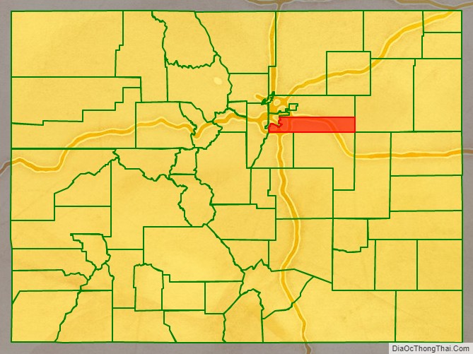
Arapahoe County location map. Where is Arapahoe County?
History
On August 25, 1855, the Kansas Territorial Legislature created a huge Arapahoe County to govern the entire western portion of the Territory of Kansas. The county was named for the Arapaho Nation, who lived in the region.
In July 1858, gold was discovered along the South Platte River in Arapahoe County (in present-day Englewood). This discovery precipitated the Pike’s Peak Gold Rush. Many residents of the mining region felt disconnected from the remote territorial governments of Kansas and Nebraska, so they voted to form their own Territory of Jefferson on October 24, 1859. The following month, the Jefferson Territorial Legislature organized 12 counties for the new territory, including a smaller Arapahoe County. Denver City served as the county seat of Arapahoe County.
The Jefferson Territory never received federal sanction, and when the State of Kansas was admitted to the Union on January 29, 1861, the mining regions temporarily reverted to unorganized territory. On February 28, 1861, Congress passed an act organizing the Territory of Colorado, using present-day borders. On November 1, 1861, the Colorado Territorial Assembly organized the 17 original counties of Colorado, including a new Arapahoe County. Arapahoe County originally stretched from the line of present-day Sheridan Boulevard 160 miles (258 km) east to the Kansas border, and from the line of present-day County Line Road 30 miles (48 km) north to the 40th parallel north (168th Avenue). Denver City served as the county seat of Arapahoe County until 1902.
In 1901, the Colorado General Assembly voted to split Arapahoe County into three parts – a new consolidated City and County of Denver, a new Adams County, and the remainder of the Arapahoe County to be renamed South Arapahoe County. A ruling by the Colorado Supreme Court, subsequent legislation, and a referendum delayed the reorganization until November 15, 1902. Governor James Bradley Orman designated Littleton as the temporary county seat of South Arapahoe County. On April 11, 1903, the Colorado General Assembly changed the name of South Arapahoe County back to Arapahoe County. On November 8, 1904, Arapahoe County voters chose Littleton over Englewood by a vote of 1310 to 829 to be the permanent county seat.
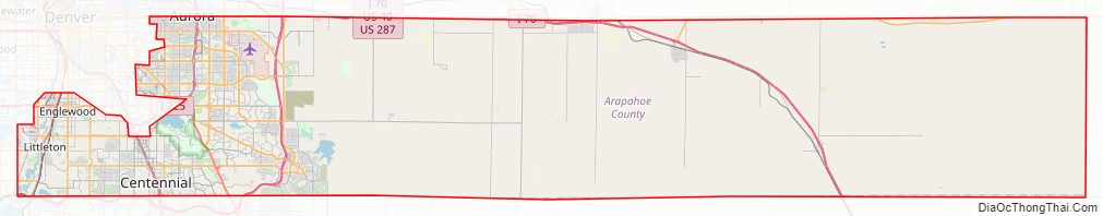
Arapahoe County Road Map
Geography
According to the U.S. Census Bureau, the county has a total area of 805 square miles (2,080 km), of which 798 square miles (2,070 km) are land and 7.3 square miles (19 km) (0.9%) are covered by water. The county measures 72 mi (116 km) east-west and 4 to 12 mi (6 to 19 km) north-south.
Two exclaves of Arapahoe County are entirely surrounded by the City and County of Denver, the City of Glendale, and the Holly Hills neighborhood, a census-designated place.
Adjacent counties
- City and County of Denver – northwest and exclaves
- Adams County – north
- Washington County – east
- Lincoln County – southeast
- Elbert County – south
- Douglas County – southwest
- Jefferson County – west
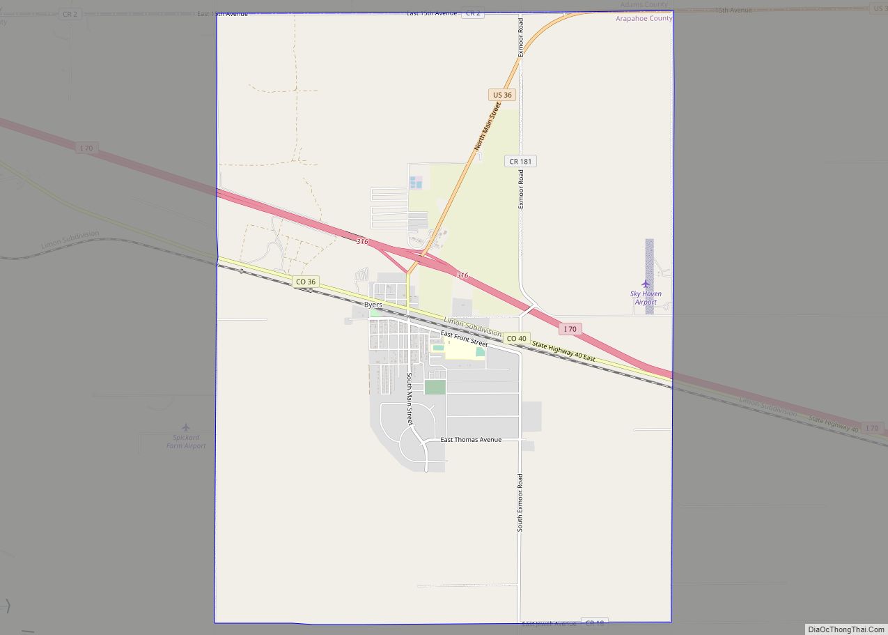
Major highways
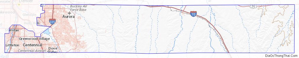
- Interstate 25
- Interstate 70
- Interstate 225
- I-70 BL
- I-70 BS
- I-70 BS
- I-70 BS
- U.S. Highway 85
- U.S. Highway 285
- State Highway 30
- State Highway 36
- State Highway 40
- State Highway 75
- State Highway 79
- State Highway 83
- State Highway 88
- State Highway 177
- State Highway 470
- E-470 (tollway)
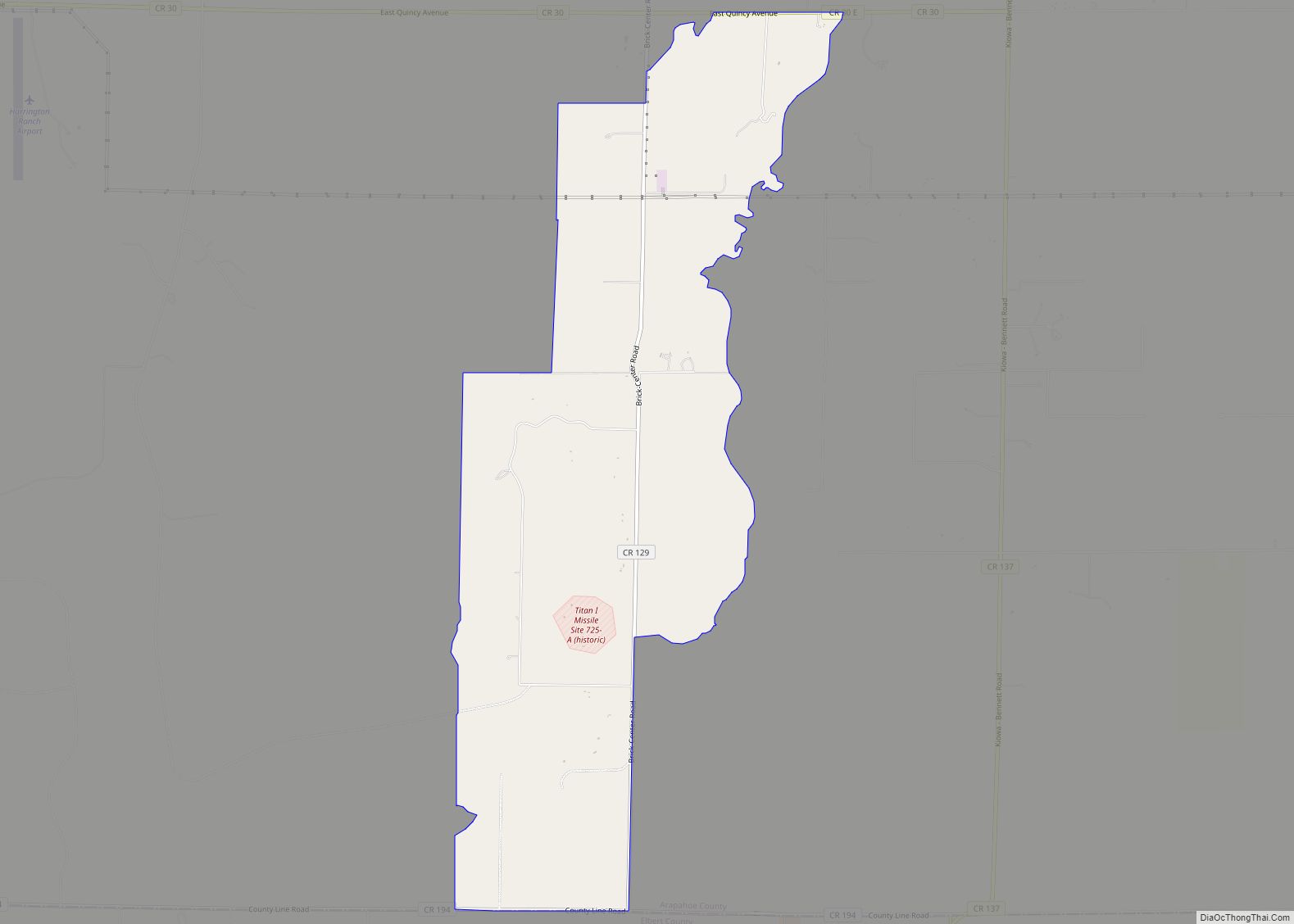
State park
- Cherry Creek State Park
Historic trails
- Smoky Hill Trail
- South Platte Trail
Recreation trails
- Highline Canal National Recreation Trail
- Platte River Greenway National Recreation Trail
Arapahoe County Topographic Map
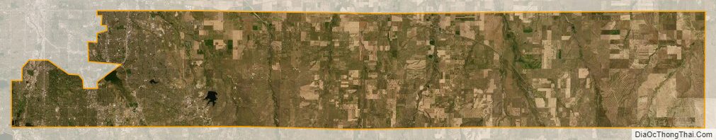
Arapahoe County Satellite Map
Arapahoe County Outline Map